Palco is a city in Rooks County, Kansas, United States. As of the 2020 census, the population of the city was 208.
| Name: | Palco city |
|---|---|
| LSAD Code: | 25 |
| LSAD Description: | city (suffix) |
| State: | Kansas |
| County: | Rooks County |
| Founded: | 1888 |
| Incorporated: | 1903 |
| Elevation: | 2,280 ft (690 m) |
| Total Area: | 0.27 sq mi (0.69 km²) |
| Land Area: | 0.27 sq mi (0.69 km²) |
| Water Area: | 0.00 sq mi (0.00 km²) |
| Total Population: | 208 |
| Population Density: | 770/sq mi (300/km²) |
| ZIP code: | 67657 |
| Area code: | 785 |
| FIPS code: | 2054125 |
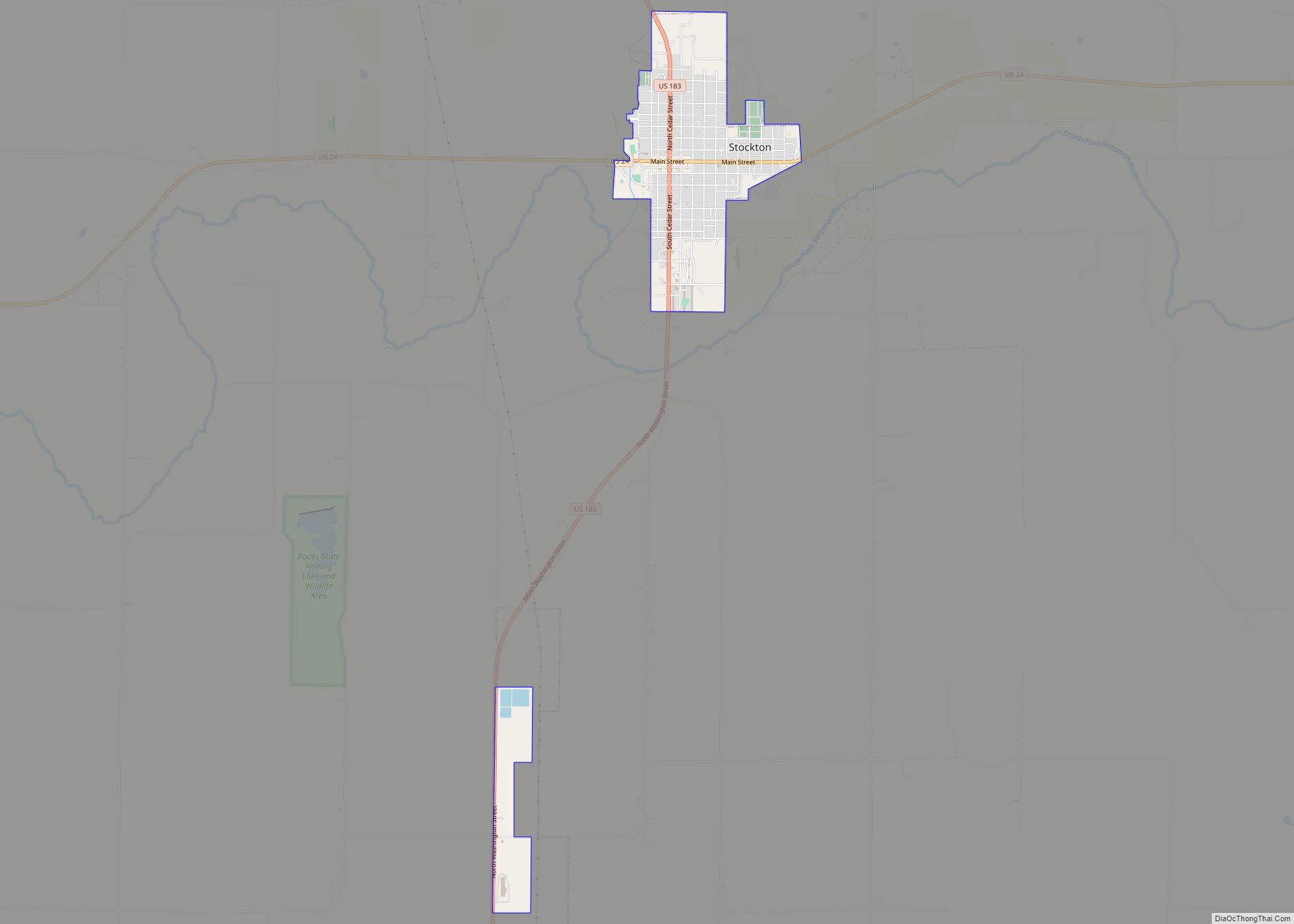
Online Interactive Map
Click on ![]() to view map in "full screen" mode.
to view map in "full screen" mode.
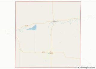
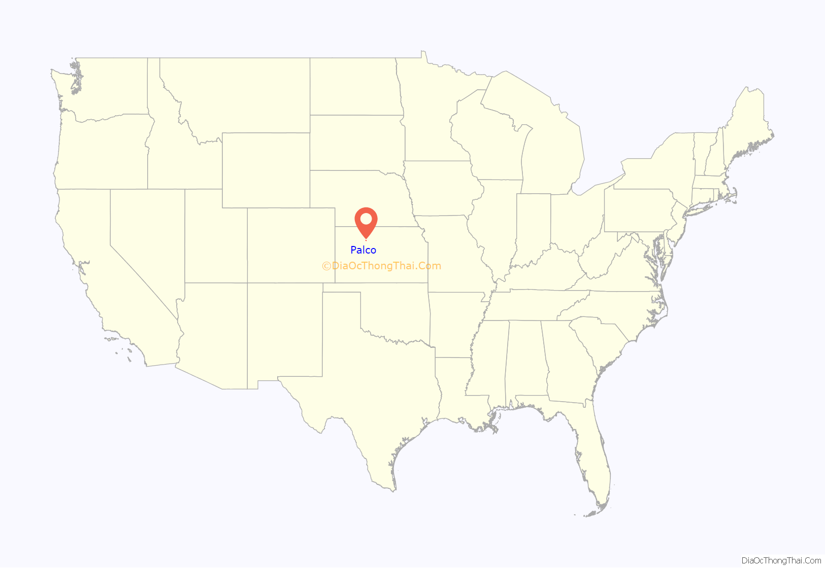
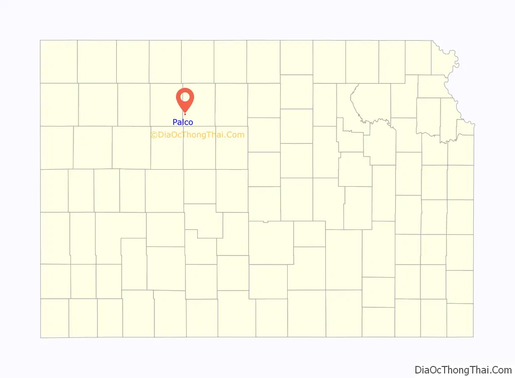
Palco location map. Where is Palco city?
History
Palco was established in 1888 by Union Pacific Railroad as a train depot on a newly formed line. The town was given the name Palco for railroad officials Palmer and Cole.
The post office was moved from the nearby town of Cresson. Cresson (named for Cresson, PA) was granted a post office in 1879. In 1887, rumors circulated that the railroad would lay track 1-1/2 miles to the south of Cresson. Many citizens and businesses abandoned Cresson to form the community of New Cresson along the expected railroad route. When the railroad track was laid it curved to the north missing New Cresson. The town was soon abandoned. An ironic twist is that the northern route of the track passed near the original town of Cresson.
In 1893, Palco was nearly wiped out by a prairie fire. The fire originated in Graham County and consumed thousands of acres along with farmsteads and livestock in Graham, Rooks, Ellis and Russell Counties before being extinguished. Seven people lost their lives in the blaze.
Palco filed for incorporation as a third class city in 1906 and elected Robert Kirkendall as mayor.
Fire again hit Palco in 1923 destroying many businesses along Main Street including the hotel, post office, real estate office and a doctor’s office.
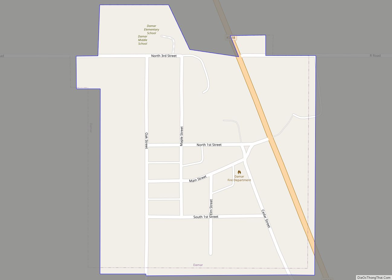
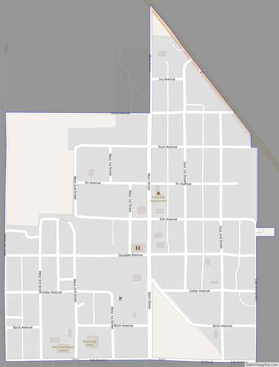
Palco Road Map
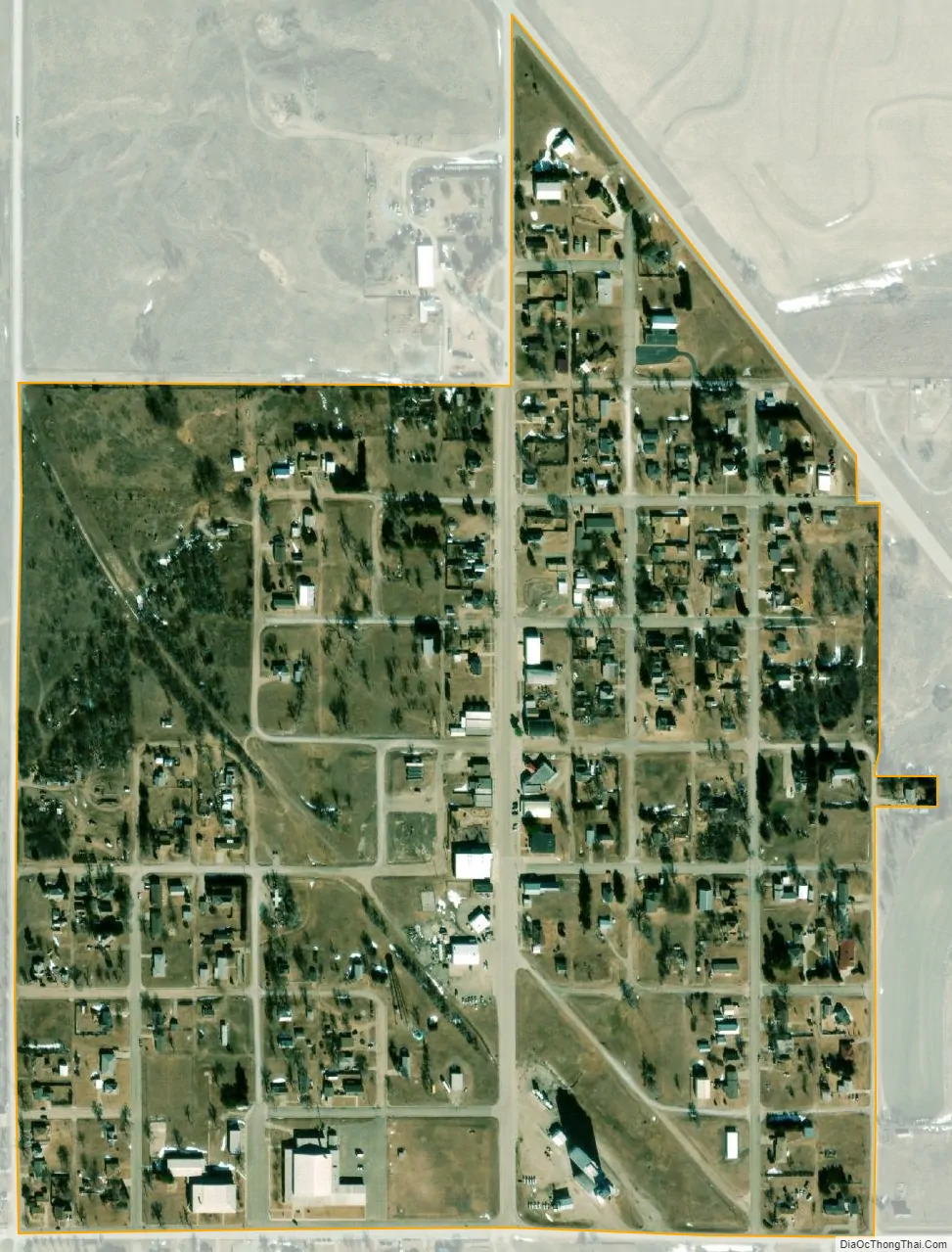
Palco city Satellite Map
Geography
Palco is located at 39°15′10″N 99°33′45″W / 39.25278°N 99.56250°W / 39.25278; -99.56250 (39.252891, -99.562473). According to the United States Census Bureau, the city has a total area of 0.27 square miles (0.70 km), all of it land.
Climate
The climate in this area is characterized by hot, humid summers and generally mild to cool winters. According to the Köppen Climate Classification system, Palco has a humid subtropical climate, abbreviated “Cfa” on climate maps.
See also
Map of Kansas State and its subdivision:- Allen
- Anderson
- Atchison
- Barber
- Barton
- Bourbon
- Brown
- Butler
- Chase
- Chautauqua
- Cherokee
- Cheyenne
- Clark
- Clay
- Cloud
- Coffey
- Comanche
- Cowley
- Crawford
- Decatur
- Dickinson
- Doniphan
- Douglas
- Edwards
- Elk
- Ellis
- Ellsworth
- Finney
- Ford
- Franklin
- Geary
- Gove
- Graham
- Grant
- Gray
- Greeley
- Greenwood
- Hamilton
- Harper
- Harvey
- Haskell
- Hodgeman
- Jackson
- Jefferson
- Jewell
- Johnson
- Kearny
- Kingman
- Kiowa
- Labette
- Lane
- Leavenworth
- Lincoln
- Linn
- Logan
- Lyon
- Marion
- Marshall
- McPherson
- Meade
- Miami
- Mitchell
- Montgomery
- Morris
- Morton
- Nemaha
- Neosho
- Ness
- Norton
- Osage
- Osborne
- Ottawa
- Pawnee
- Phillips
- Pottawatomie
- Pratt
- Rawlins
- Reno
- Republic
- Rice
- Riley
- Rooks
- Rush
- Russell
- Saline
- Scott
- Sedgwick
- Seward
- Shawnee
- Sheridan
- Sherman
- Smith
- Stafford
- Stanton
- Stevens
- Sumner
- Thomas
- Trego
- Wabaunsee
- Wallace
- Washington
- Wichita
- Wilson
- Woodson
- Wyandotte
- Alabama
- Alaska
- Arizona
- Arkansas
- California
- Colorado
- Connecticut
- Delaware
- District of Columbia
- Florida
- Georgia
- Hawaii
- Idaho
- Illinois
- Indiana
- Iowa
- Kansas
- Kentucky
- Louisiana
- Maine
- Maryland
- Massachusetts
- Michigan
- Minnesota
- Mississippi
- Missouri
- Montana
- Nebraska
- Nevada
- New Hampshire
- New Jersey
- New Mexico
- New York
- North Carolina
- North Dakota
- Ohio
- Oklahoma
- Oregon
- Pennsylvania
- Rhode Island
- South Carolina
- South Dakota
- Tennessee
- Texas
- Utah
- Vermont
- Virginia
- Washington
- West Virginia
- Wisconsin
- Wyoming