Stockton is a city in and the county seat of Rooks County, Kansas, United States. As of the 2020 census, the population of the city was 1,480.
| Name: | Stockton city |
|---|---|
| LSAD Code: | 25 |
| LSAD Description: | city (suffix) |
| State: | Kansas |
| County: | Rooks County |
| Founded: | 1872 |
| Incorporated: | 1879 |
| Elevation: | 1,798 ft (548 m) |
| Total Area: | 1.66 sq mi (4.29 km²) |
| Land Area: | 1.66 sq mi (4.29 km²) |
| Water Area: | 0.00 sq mi (0.00 km²) |
| Total Population: | 1,480 |
| Population Density: | 890/sq mi (340/km²) |
| ZIP code: | 67669 |
| Area code: | 785 |
| FIPS code: | 2068350 |
| Website: | stocktonks.com |
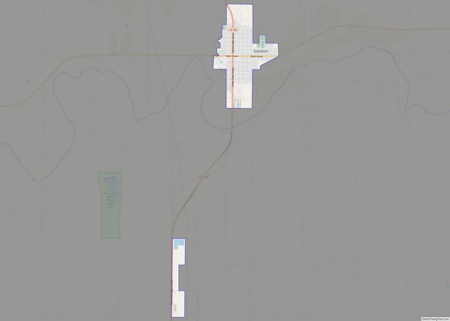
Online Interactive Map
Click on ![]() to view map in "full screen" mode.
to view map in "full screen" mode.
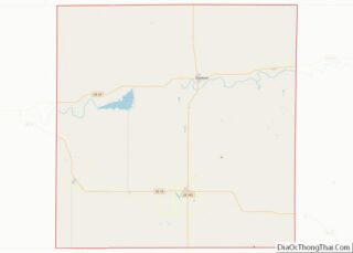
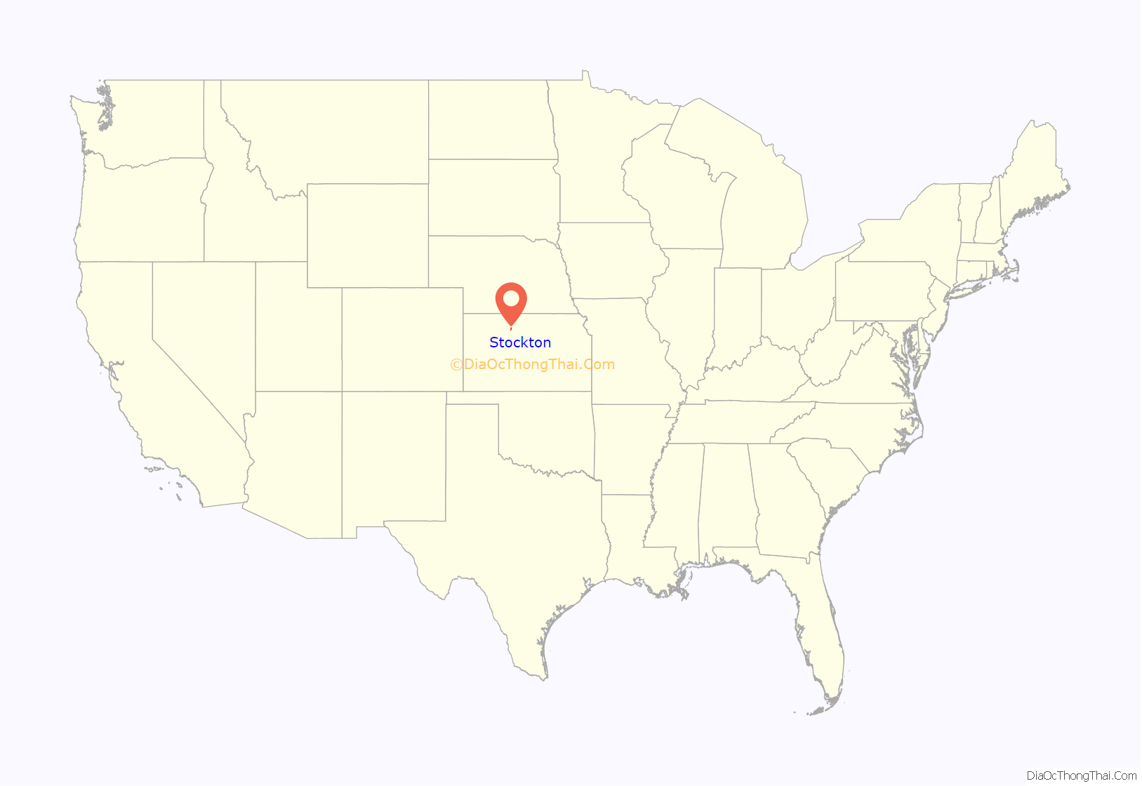
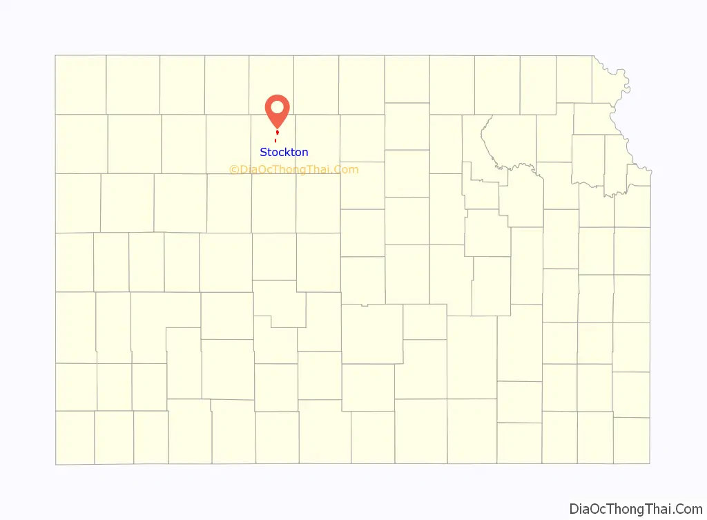
Stockton location map. Where is Stockton city?
History
19th century
Stockton was founded in 1872. A large share of the first settlers were cattle dealers, or stockmen, and they named their new home Stocktown, or as it soon became Stockton. Stockton was incorporated as a city in 1879.
Stockton is located on the natural trail up the valley of the South Solomon River and where the military supply trail from Fort Kearney, Nebraska, to Fort Hays, Kansas, crossed the South Solomon River. Stockton survived & grew during the thirteen years from founding until the arrival of the railroad in 1885.
Stockton was once a sundown town, where African Americans living in Nicodemus were not welcome after dark.
20th century
Stockton was featured in British author Tony Parker’s 1989 book Bird, Kansas in which he transcribed tape recorded interviews with local residents.
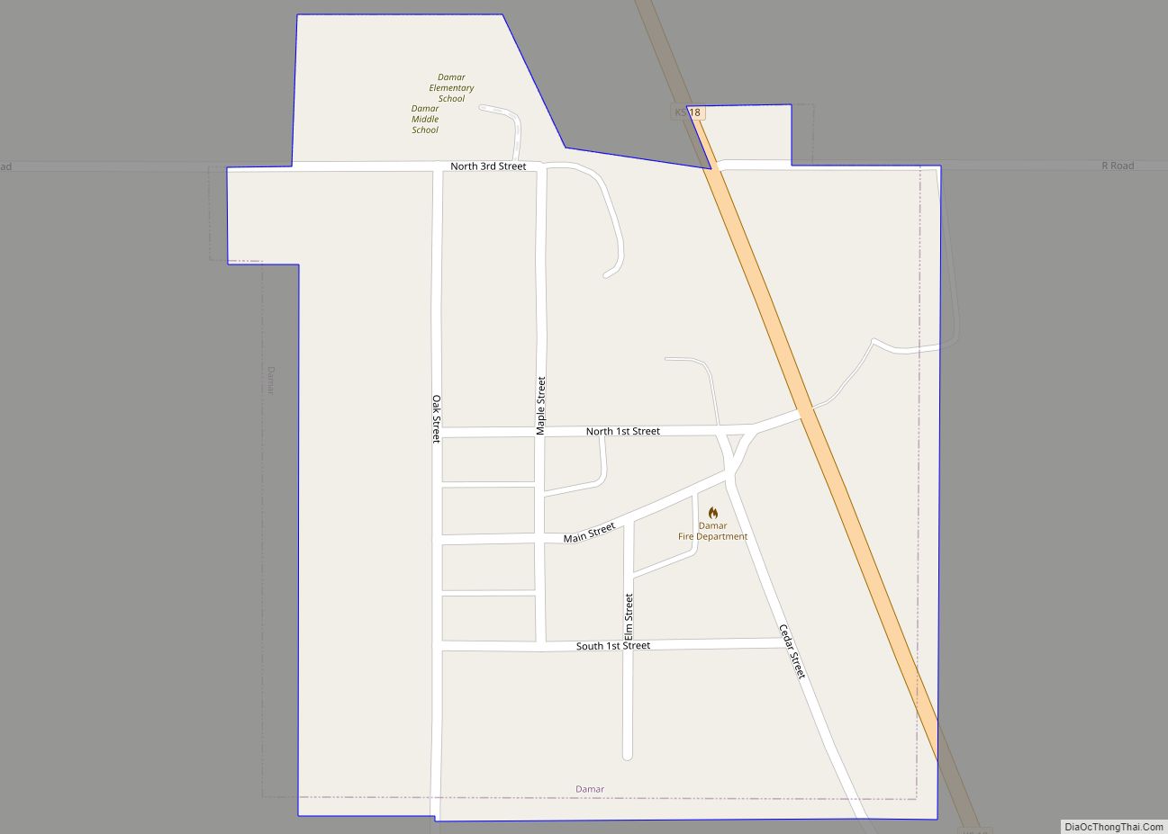
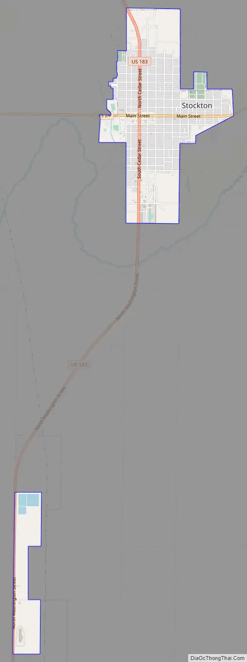
Stockton Road Map
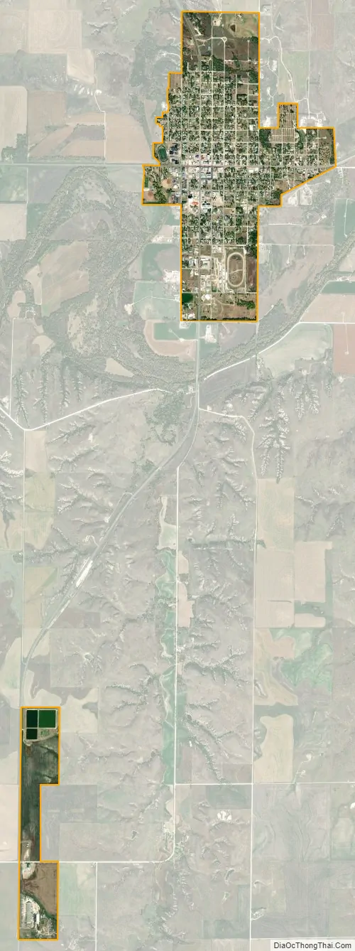
Stockton city Satellite Map
Geography
Stockton is located at 39°26′11″N 99°16′18″W / 39.43639°N 99.27167°W / 39.43639; -99.27167 (39.436328, -99.271641). According to the United States Census Bureau, the city has a total area of 2.23 square miles (5.78 km), all of it land.
See also
Map of Kansas State and its subdivision:- Allen
- Anderson
- Atchison
- Barber
- Barton
- Bourbon
- Brown
- Butler
- Chase
- Chautauqua
- Cherokee
- Cheyenne
- Clark
- Clay
- Cloud
- Coffey
- Comanche
- Cowley
- Crawford
- Decatur
- Dickinson
- Doniphan
- Douglas
- Edwards
- Elk
- Ellis
- Ellsworth
- Finney
- Ford
- Franklin
- Geary
- Gove
- Graham
- Grant
- Gray
- Greeley
- Greenwood
- Hamilton
- Harper
- Harvey
- Haskell
- Hodgeman
- Jackson
- Jefferson
- Jewell
- Johnson
- Kearny
- Kingman
- Kiowa
- Labette
- Lane
- Leavenworth
- Lincoln
- Linn
- Logan
- Lyon
- Marion
- Marshall
- McPherson
- Meade
- Miami
- Mitchell
- Montgomery
- Morris
- Morton
- Nemaha
- Neosho
- Ness
- Norton
- Osage
- Osborne
- Ottawa
- Pawnee
- Phillips
- Pottawatomie
- Pratt
- Rawlins
- Reno
- Republic
- Rice
- Riley
- Rooks
- Rush
- Russell
- Saline
- Scott
- Sedgwick
- Seward
- Shawnee
- Sheridan
- Sherman
- Smith
- Stafford
- Stanton
- Stevens
- Sumner
- Thomas
- Trego
- Wabaunsee
- Wallace
- Washington
- Wichita
- Wilson
- Woodson
- Wyandotte
- Alabama
- Alaska
- Arizona
- Arkansas
- California
- Colorado
- Connecticut
- Delaware
- District of Columbia
- Florida
- Georgia
- Hawaii
- Idaho
- Illinois
- Indiana
- Iowa
- Kansas
- Kentucky
- Louisiana
- Maine
- Maryland
- Massachusetts
- Michigan
- Minnesota
- Mississippi
- Missouri
- Montana
- Nebraska
- Nevada
- New Hampshire
- New Jersey
- New Mexico
- New York
- North Carolina
- North Dakota
- Ohio
- Oklahoma
- Oregon
- Pennsylvania
- Rhode Island
- South Carolina
- South Dakota
- Tennessee
- Texas
- Utah
- Vermont
- Virginia
- Washington
- West Virginia
- Wisconsin
- Wyoming