Parkerfield is a city in Cowley County, Kansas, United States. As of the 2020 census, the population of the city was 406. It is an eastern suburb of Arkansas City.
| Name: | Parkerfield city |
|---|---|
| LSAD Code: | 25 |
| LSAD Description: | city (suffix) |
| State: | Kansas |
| County: | Cowley County |
| Incorporated: | 2004 |
| Elevation: | 1,142 ft (348 m) |
| Total Area: | 0.91 sq mi (2.36 km²) |
| Land Area: | 0.91 sq mi (2.36 km²) |
| Water Area: | 0.00 sq mi (0.00 km²) |
| Total Population: | 406 |
| Population Density: | 450/sq mi (170/km²) |
| ZIP code: | 67005 (Arkansas City) |
| Area code: | 620 |
| FIPS code: | 2054560 |
| Website: | parkerfieldks.org |
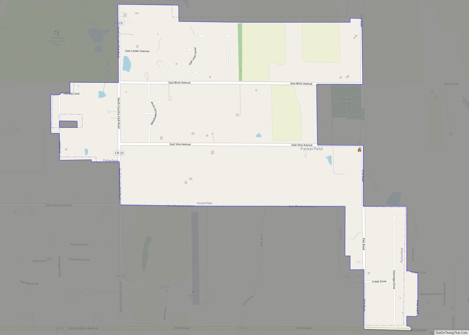
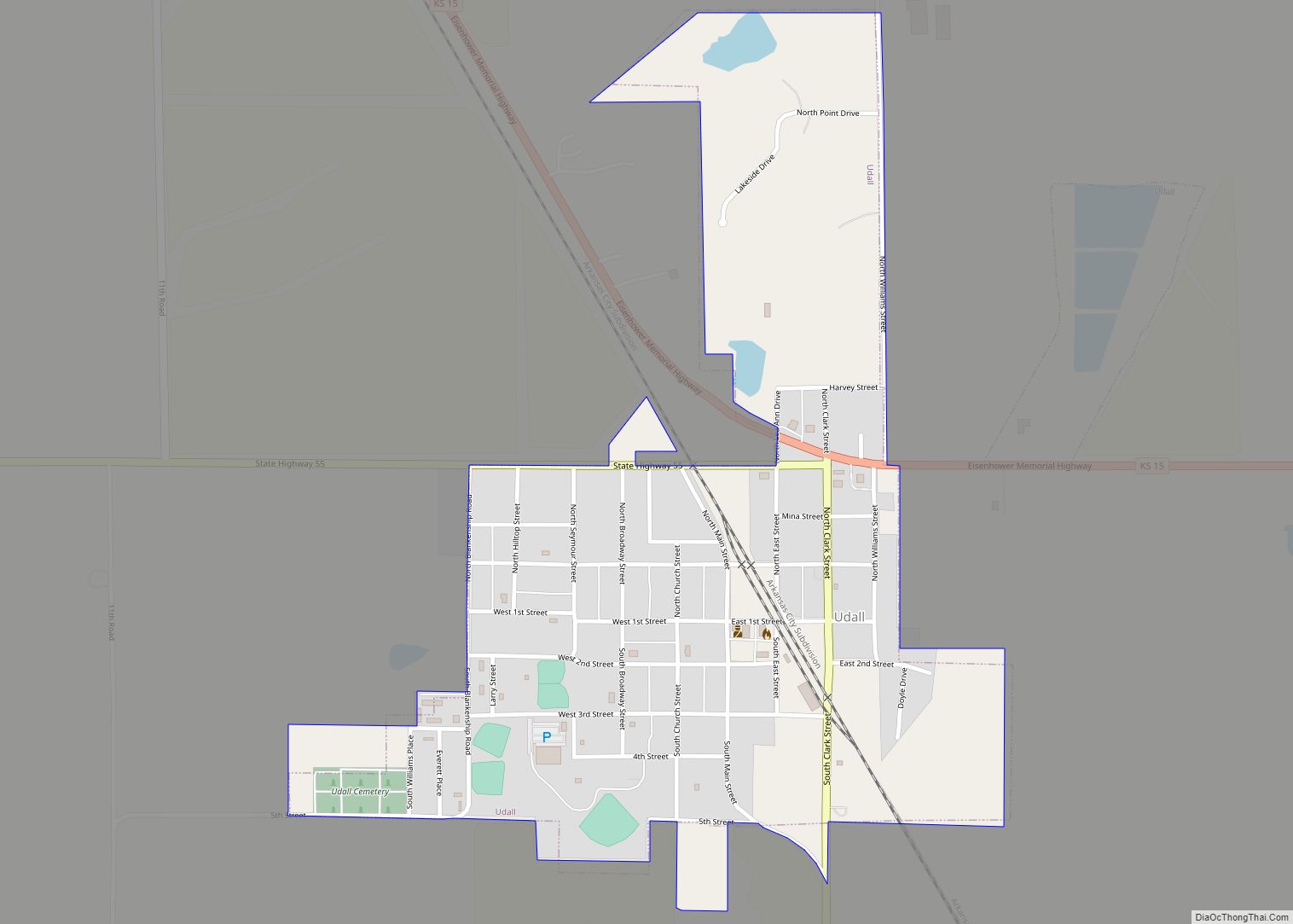
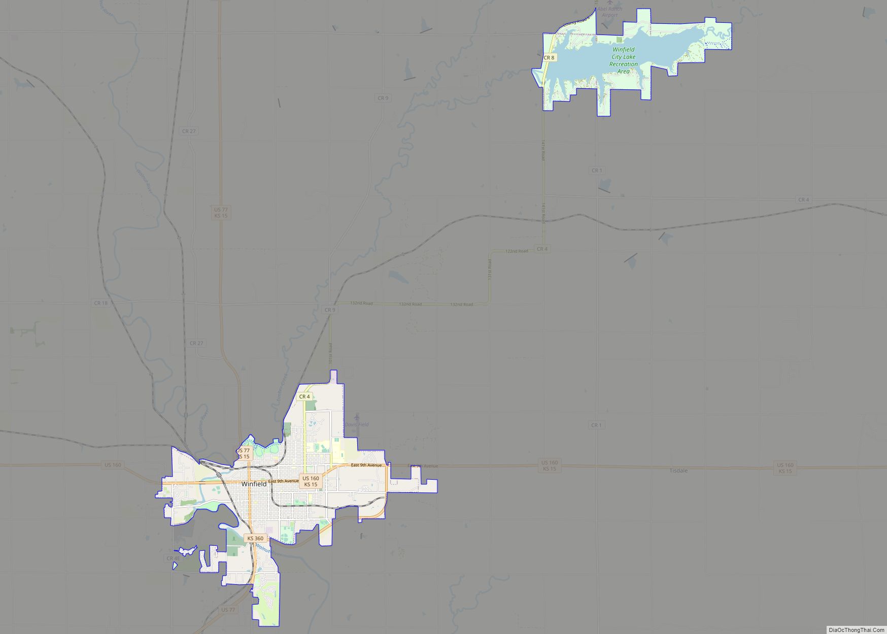
Online Interactive Map
Click on ![]() to view map in "full screen" mode.
to view map in "full screen" mode.
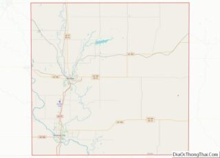
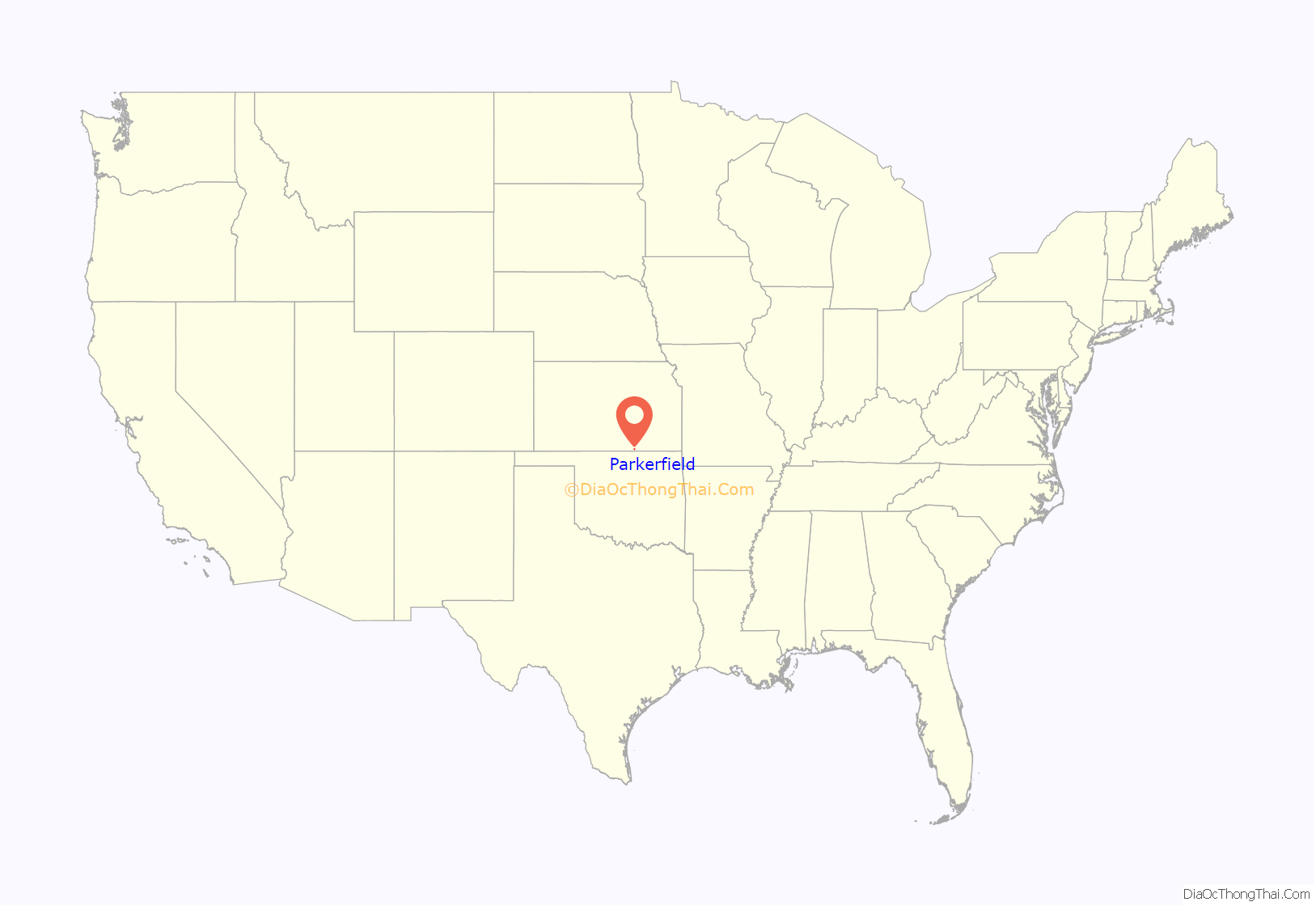
Parkerfield location map. Where is Parkerfield city?
History
Parkerfield was incorporated as a city of the third class on March 16, 2004, and elections for mayor and city council were held March 30. The decision to incorporate the city grew out of a protest by area residents of neighboring Arkansas City‘s plan to annex the area. They believed the city codes to be too restrictive and the taxes too high. The residents hired an attorney to fight the annexation. The petition for incorporation was filed with the Cowley County Clerk on January 20, 2004, and was approved by the Board of County Commissioners on March 9.
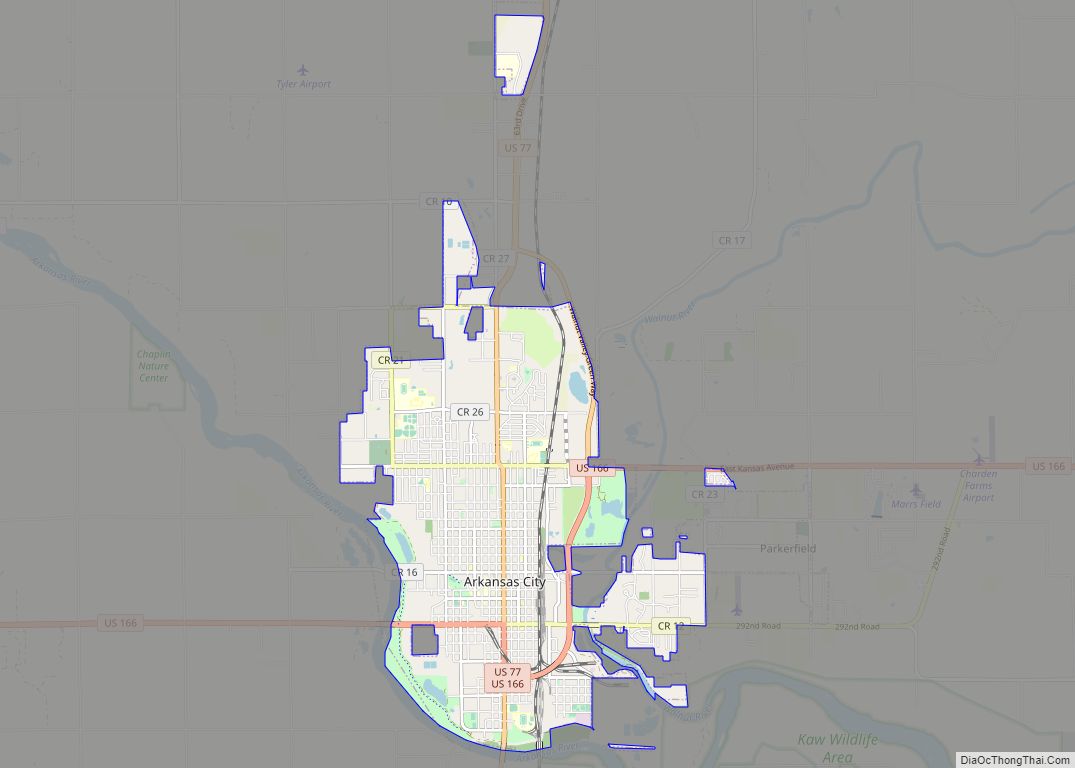
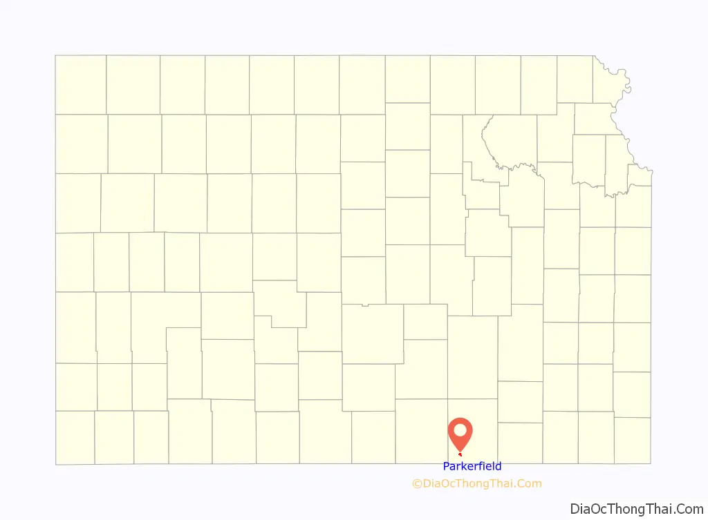
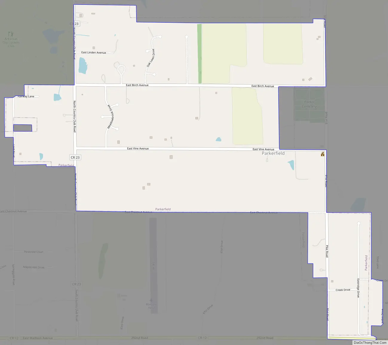
Parkerfield Road Map
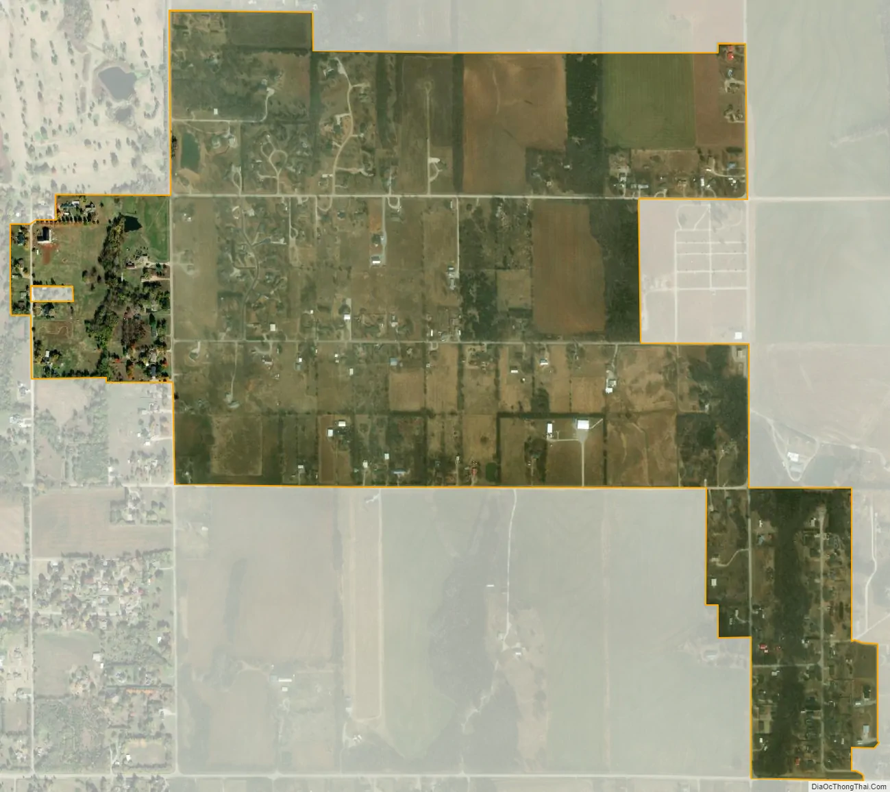
Parkerfield city Satellite Map
Geography
Parkerfield is located at (37.085036,-96.998978), near the east edge of Arkansas City. The land topography consists of about 564 acres (261 acres platted and 302 acres (1.22 km) unplatted at the time of incorporation) with basically a flat terrain with no natural boundaries and a drainage pattern generally to the southeast for the southern half of the area and to the northwest for the northern half of the area.
According to the United States Census Bureau, the city has a total area of 0.94 square miles (2.43 km), all of it land.
See also
Map of Kansas State and its subdivision:- Allen
- Anderson
- Atchison
- Barber
- Barton
- Bourbon
- Brown
- Butler
- Chase
- Chautauqua
- Cherokee
- Cheyenne
- Clark
- Clay
- Cloud
- Coffey
- Comanche
- Cowley
- Crawford
- Decatur
- Dickinson
- Doniphan
- Douglas
- Edwards
- Elk
- Ellis
- Ellsworth
- Finney
- Ford
- Franklin
- Geary
- Gove
- Graham
- Grant
- Gray
- Greeley
- Greenwood
- Hamilton
- Harper
- Harvey
- Haskell
- Hodgeman
- Jackson
- Jefferson
- Jewell
- Johnson
- Kearny
- Kingman
- Kiowa
- Labette
- Lane
- Leavenworth
- Lincoln
- Linn
- Logan
- Lyon
- Marion
- Marshall
- McPherson
- Meade
- Miami
- Mitchell
- Montgomery
- Morris
- Morton
- Nemaha
- Neosho
- Ness
- Norton
- Osage
- Osborne
- Ottawa
- Pawnee
- Phillips
- Pottawatomie
- Pratt
- Rawlins
- Reno
- Republic
- Rice
- Riley
- Rooks
- Rush
- Russell
- Saline
- Scott
- Sedgwick
- Seward
- Shawnee
- Sheridan
- Sherman
- Smith
- Stafford
- Stanton
- Stevens
- Sumner
- Thomas
- Trego
- Wabaunsee
- Wallace
- Washington
- Wichita
- Wilson
- Woodson
- Wyandotte
- Alabama
- Alaska
- Arizona
- Arkansas
- California
- Colorado
- Connecticut
- Delaware
- District of Columbia
- Florida
- Georgia
- Hawaii
- Idaho
- Illinois
- Indiana
- Iowa
- Kansas
- Kentucky
- Louisiana
- Maine
- Maryland
- Massachusetts
- Michigan
- Minnesota
- Mississippi
- Missouri
- Montana
- Nebraska
- Nevada
- New Hampshire
- New Jersey
- New Mexico
- New York
- North Carolina
- North Dakota
- Ohio
- Oklahoma
- Oregon
- Pennsylvania
- Rhode Island
- South Carolina
- South Dakota
- Tennessee
- Texas
- Utah
- Vermont
- Virginia
- Washington
- West Virginia
- Wisconsin
- Wyoming