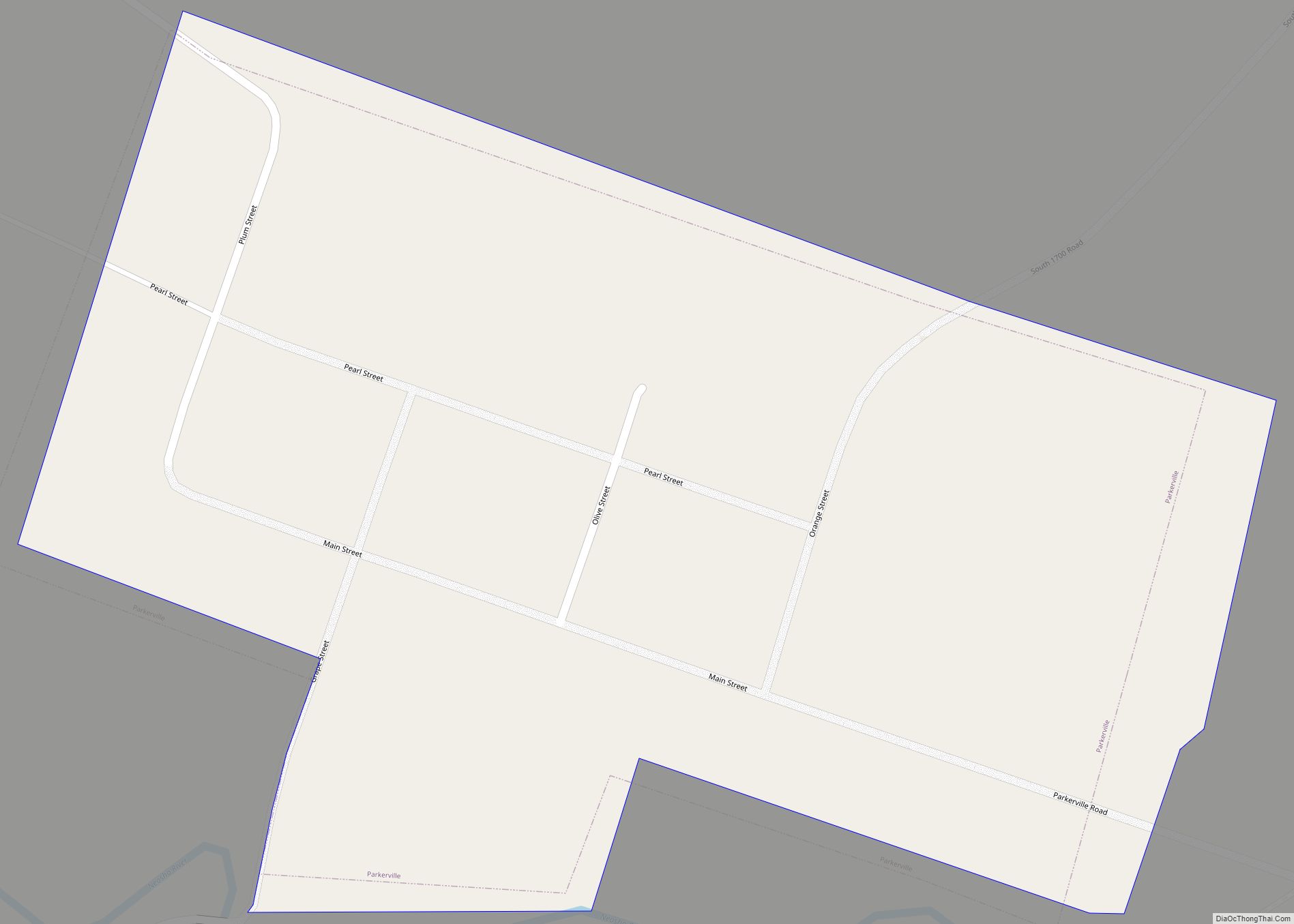
Parkerville is a city in Morris County, Kansas, United States. As of the 2020 census, the population of the city was 46.
| Name: | Parkerville city |
|---|---|
| LSAD Code: | 25 |
| LSAD Description: | city (suffix) |
| State: | Kansas |
| County: | Morris County |
| Incorporated: | 1871 |
| Elevation: | 1,352 ft (412 m) |
| Total Area: | 0.13 sq mi (0.33 km²) |
| Land Area: | 0.13 sq mi (0.33 km²) |
| Water Area: | 0.00 sq mi (0.00 km²) |
| Total Population: | 46 |
| Population Density: | 350/sq mi (140/km²) |
| Area code: | 785 |
| FIPS code: | 2054575 |
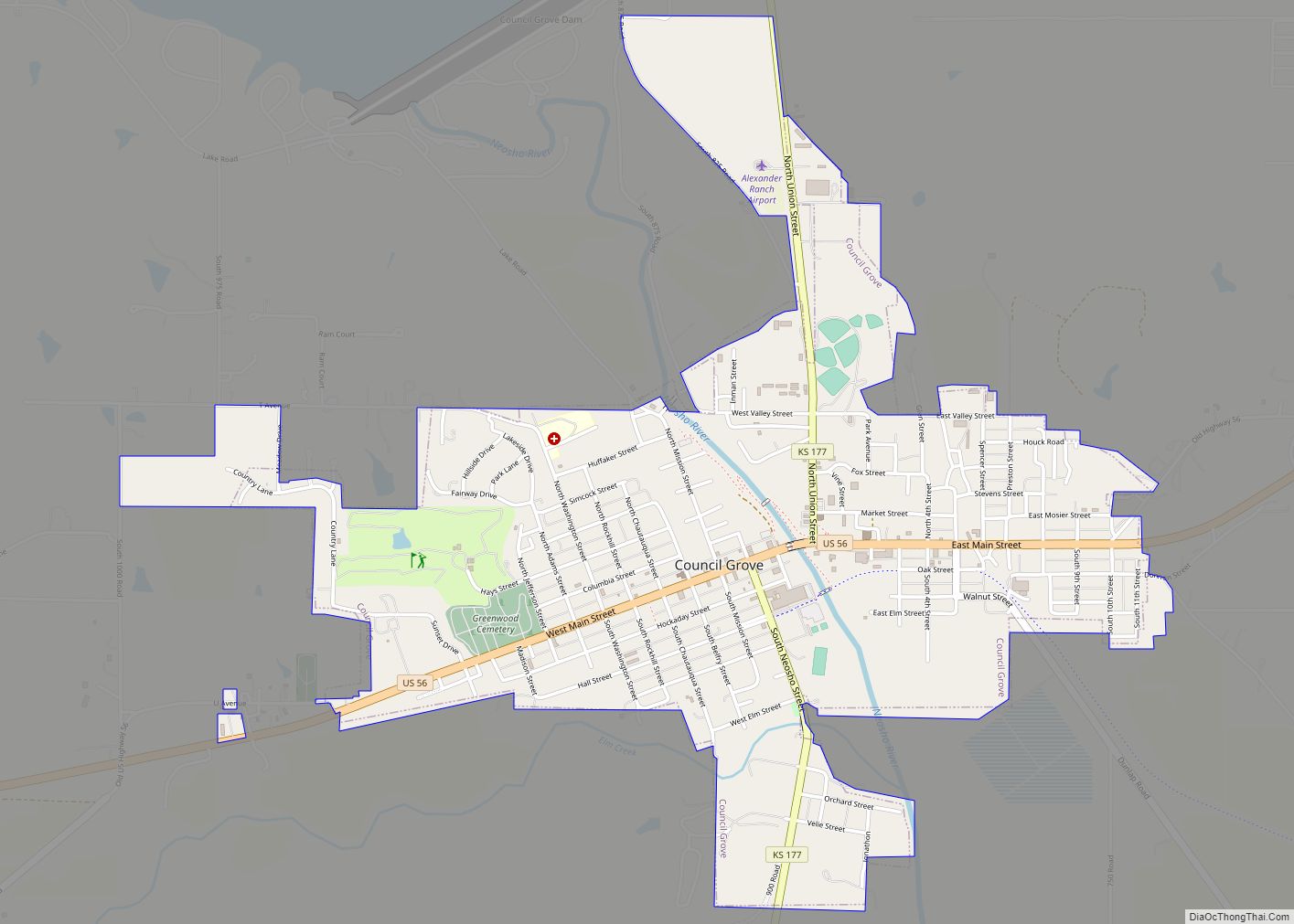
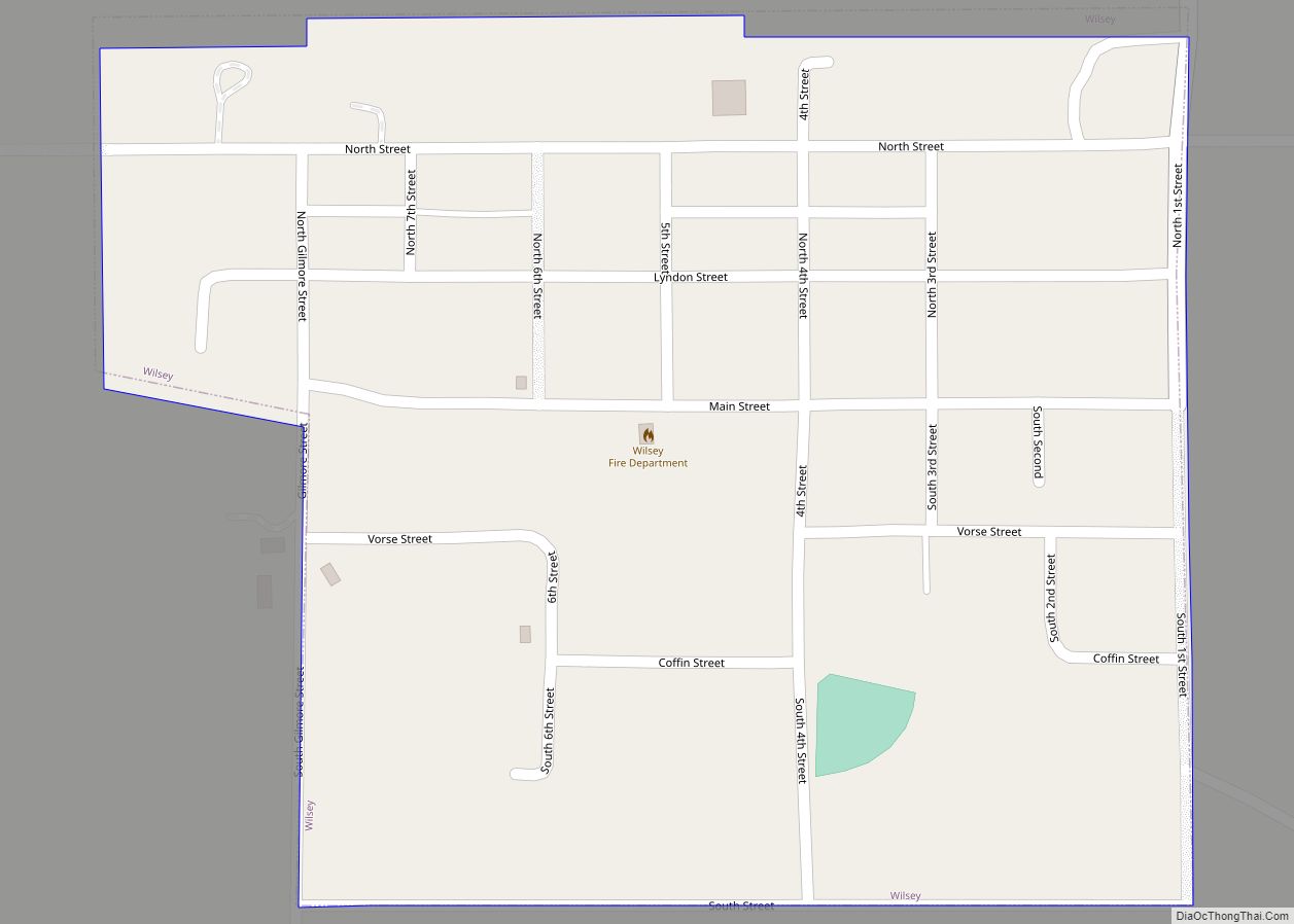
Online Interactive Map
Click on ![]() to view map in "full screen" mode.
to view map in "full screen" mode.
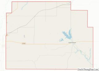
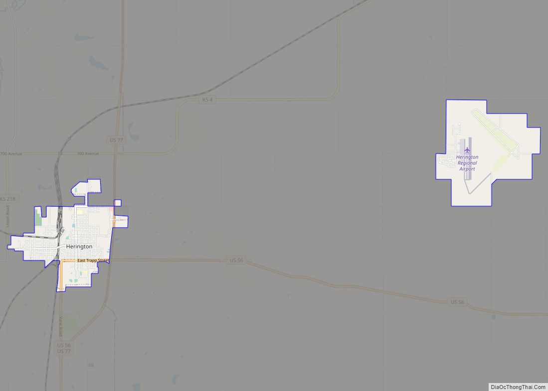
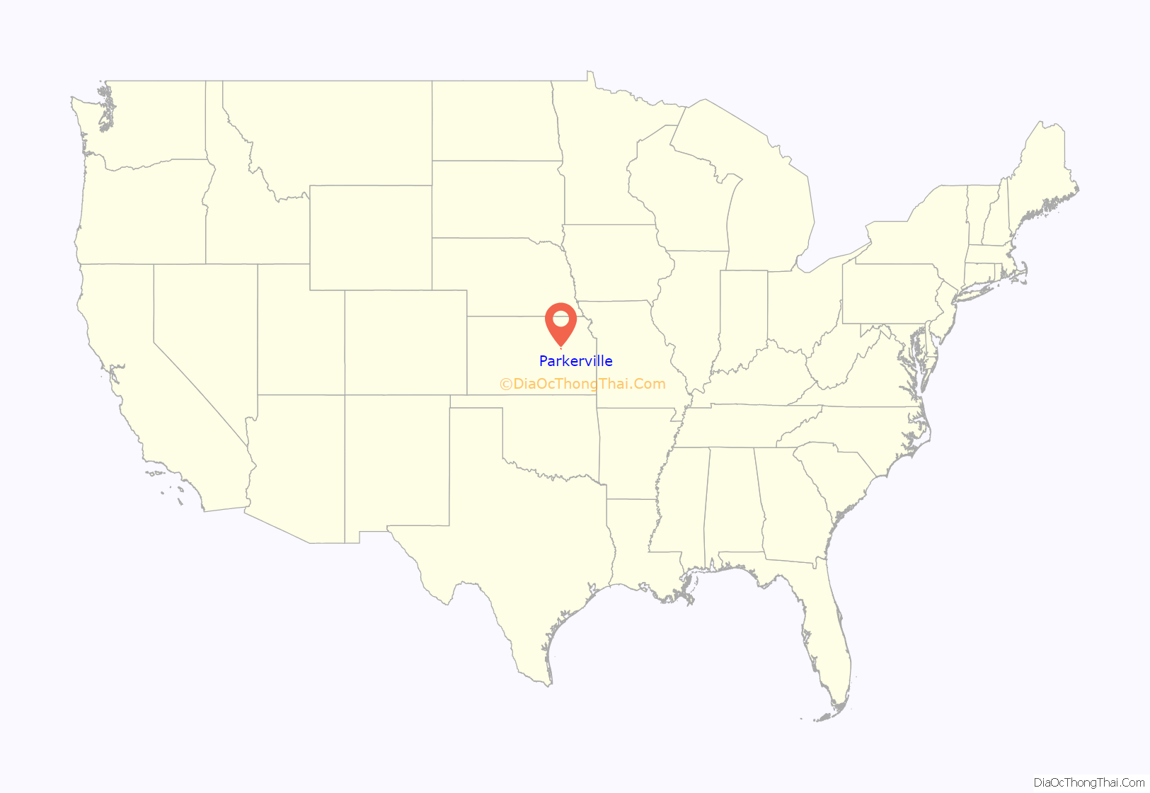
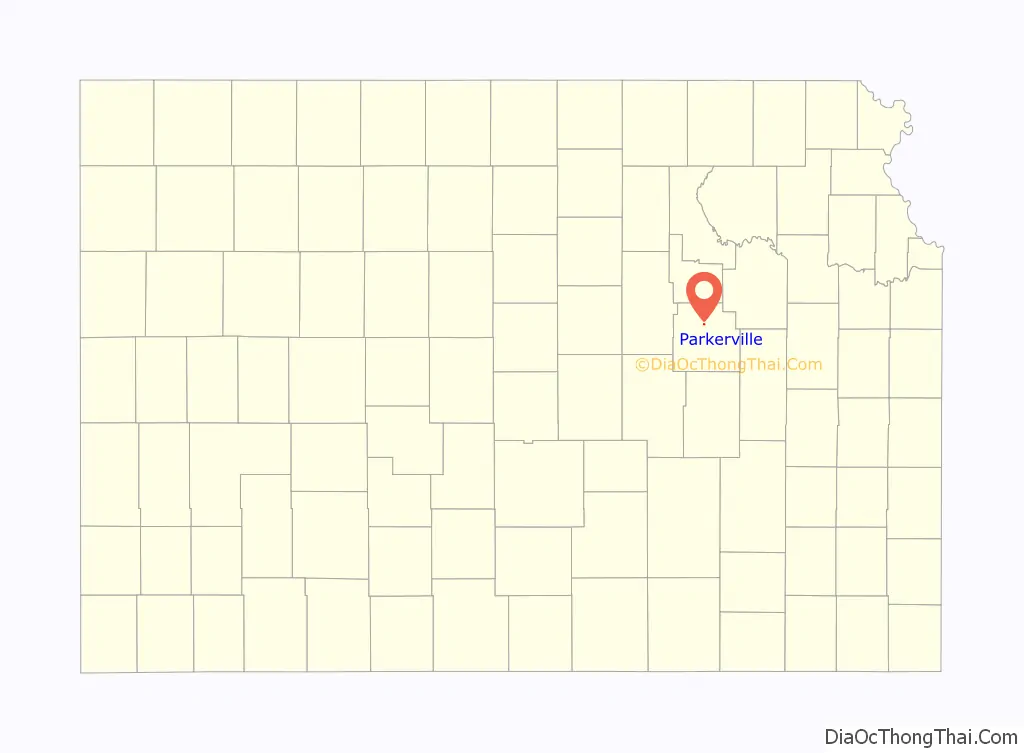
Parkerville location map. Where is Parkerville city?
History
A post office was established in Parkersville on August 9, 1870, then renamed to Parkerville on June 23, 1892. The post office closed on October 31, 1953. The city was incorporated as Parkerville in 1871. Parkerville was named for Charles G. Parker, a pioneer settler.
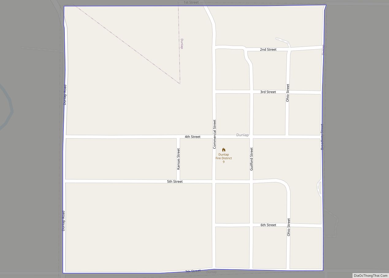
Parkerville Road Map
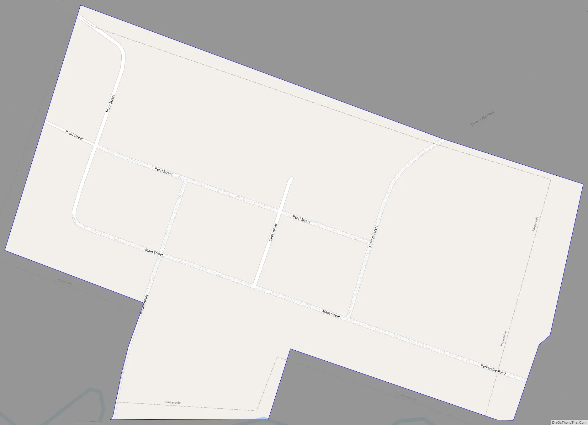
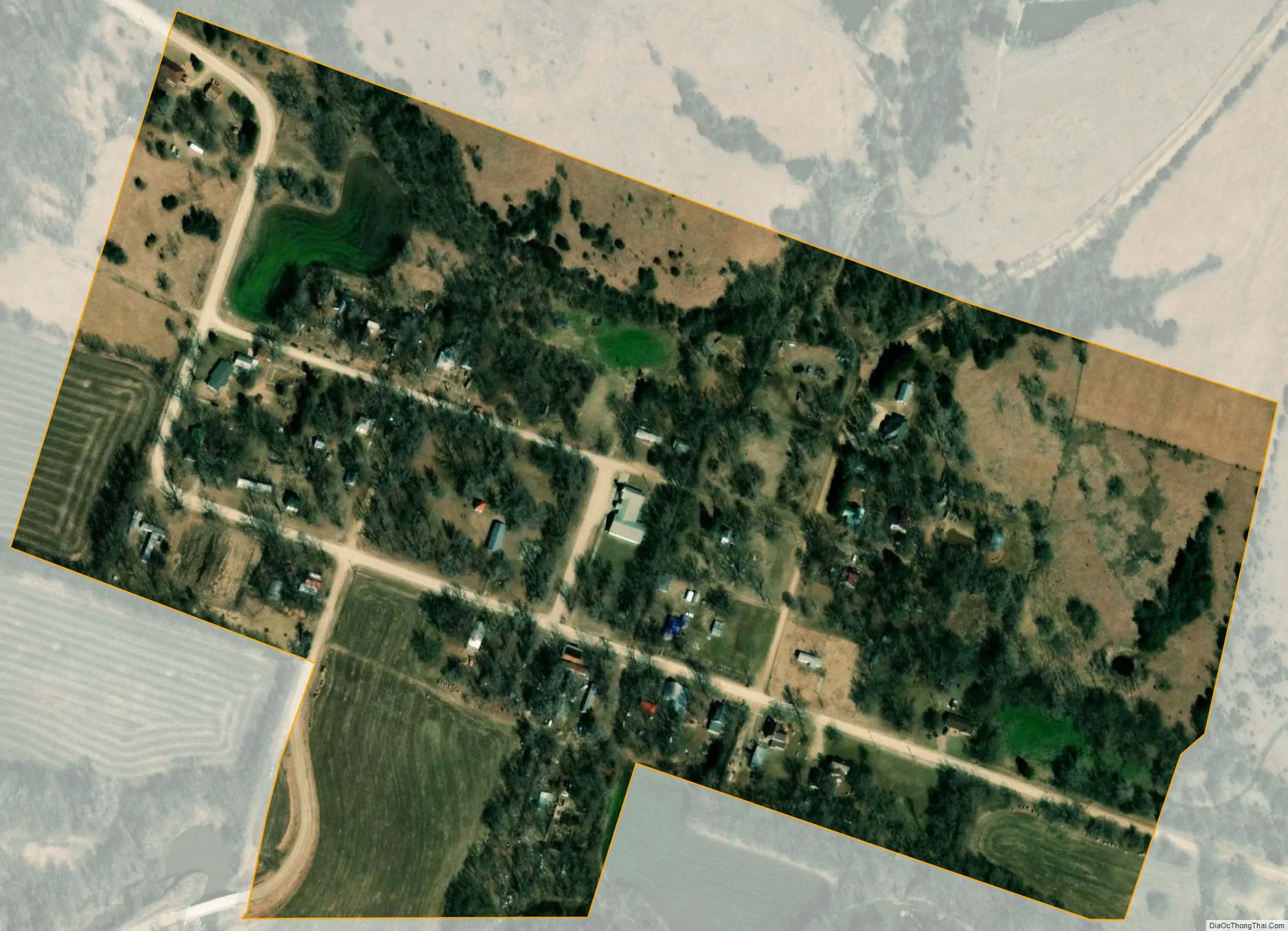
Parkerville city Satellite Map
Geography
Parkerville is located at 38°45′53″N 96°39′45″W / 38.76472°N 96.66250°W / 38.76472; -96.66250 (38.764622, -96.662441). According to the United States Census Bureau, the city has a total area of 0.12 square miles (0.31 km), all of it land.
See also
Map of Kansas State and its subdivision:- Allen
- Anderson
- Atchison
- Barber
- Barton
- Bourbon
- Brown
- Butler
- Chase
- Chautauqua
- Cherokee
- Cheyenne
- Clark
- Clay
- Cloud
- Coffey
- Comanche
- Cowley
- Crawford
- Decatur
- Dickinson
- Doniphan
- Douglas
- Edwards
- Elk
- Ellis
- Ellsworth
- Finney
- Ford
- Franklin
- Geary
- Gove
- Graham
- Grant
- Gray
- Greeley
- Greenwood
- Hamilton
- Harper
- Harvey
- Haskell
- Hodgeman
- Jackson
- Jefferson
- Jewell
- Johnson
- Kearny
- Kingman
- Kiowa
- Labette
- Lane
- Leavenworth
- Lincoln
- Linn
- Logan
- Lyon
- Marion
- Marshall
- McPherson
- Meade
- Miami
- Mitchell
- Montgomery
- Morris
- Morton
- Nemaha
- Neosho
- Ness
- Norton
- Osage
- Osborne
- Ottawa
- Pawnee
- Phillips
- Pottawatomie
- Pratt
- Rawlins
- Reno
- Republic
- Rice
- Riley
- Rooks
- Rush
- Russell
- Saline
- Scott
- Sedgwick
- Seward
- Shawnee
- Sheridan
- Sherman
- Smith
- Stafford
- Stanton
- Stevens
- Sumner
- Thomas
- Trego
- Wabaunsee
- Wallace
- Washington
- Wichita
- Wilson
- Woodson
- Wyandotte
- Alabama
- Alaska
- Arizona
- Arkansas
- California
- Colorado
- Connecticut
- Delaware
- District of Columbia
- Florida
- Georgia
- Hawaii
- Idaho
- Illinois
- Indiana
- Iowa
- Kansas
- Kentucky
- Louisiana
- Maine
- Maryland
- Massachusetts
- Michigan
- Minnesota
- Mississippi
- Missouri
- Montana
- Nebraska
- Nevada
- New Hampshire
- New Jersey
- New Mexico
- New York
- North Carolina
- North Dakota
- Ohio
- Oklahoma
- Oregon
- Pennsylvania
- Rhode Island
- South Carolina
- South Dakota
- Tennessee
- Texas
- Utah
- Vermont
- Virginia
- Washington
- West Virginia
- Wisconsin
- Wyoming