Rexford is a city in Thomas County, Kansas, United States. As of the 2020 census, the population of the city was 197.
| Name: | Rexford city |
|---|---|
| LSAD Code: | 25 |
| LSAD Description: | city (suffix) |
| State: | Kansas |
| County: | Thomas County |
| Founded: | 1887 |
| Incorporated: | 1917 |
| Elevation: | 2,956 ft (901 m) |
| Total Area: | 0.26 sq mi (0.68 km²) |
| Land Area: | 0.26 sq mi (0.68 km²) |
| Water Area: | 0.00 sq mi (0.00 km²) |
| Total Population: | 197 |
| Population Density: | 760/sq mi (290/km²) |
| ZIP code: | 67753 |
| Area code: | 785 |
| FIPS code: | 2059125 |
Online Interactive Map
Click on ![]() to view map in "full screen" mode.
to view map in "full screen" mode.
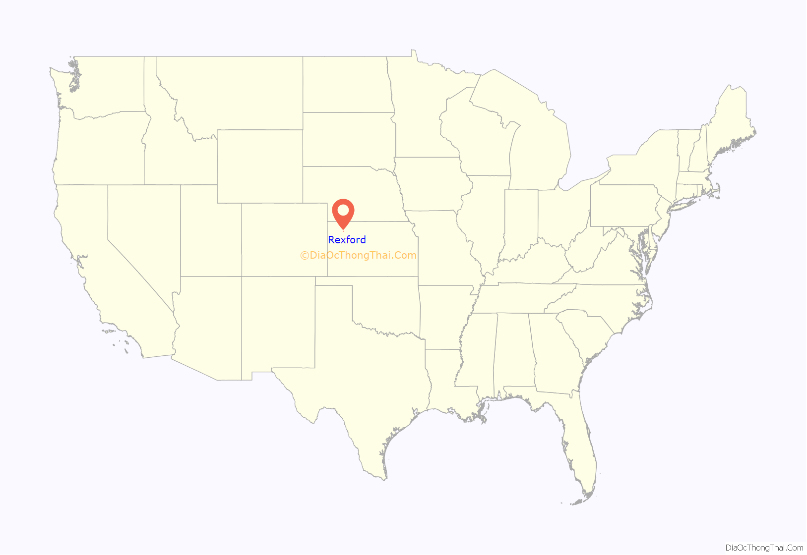
Rexford location map. Where is Rexford city?
History
Rexford was founded in approximately 1887. It was named in honor of a member of the Rexford family who died in a fire that engulfed the family home. They were some of the first settlers in the area and had been there for years.
The first post office in Rexford was established in August 1888.
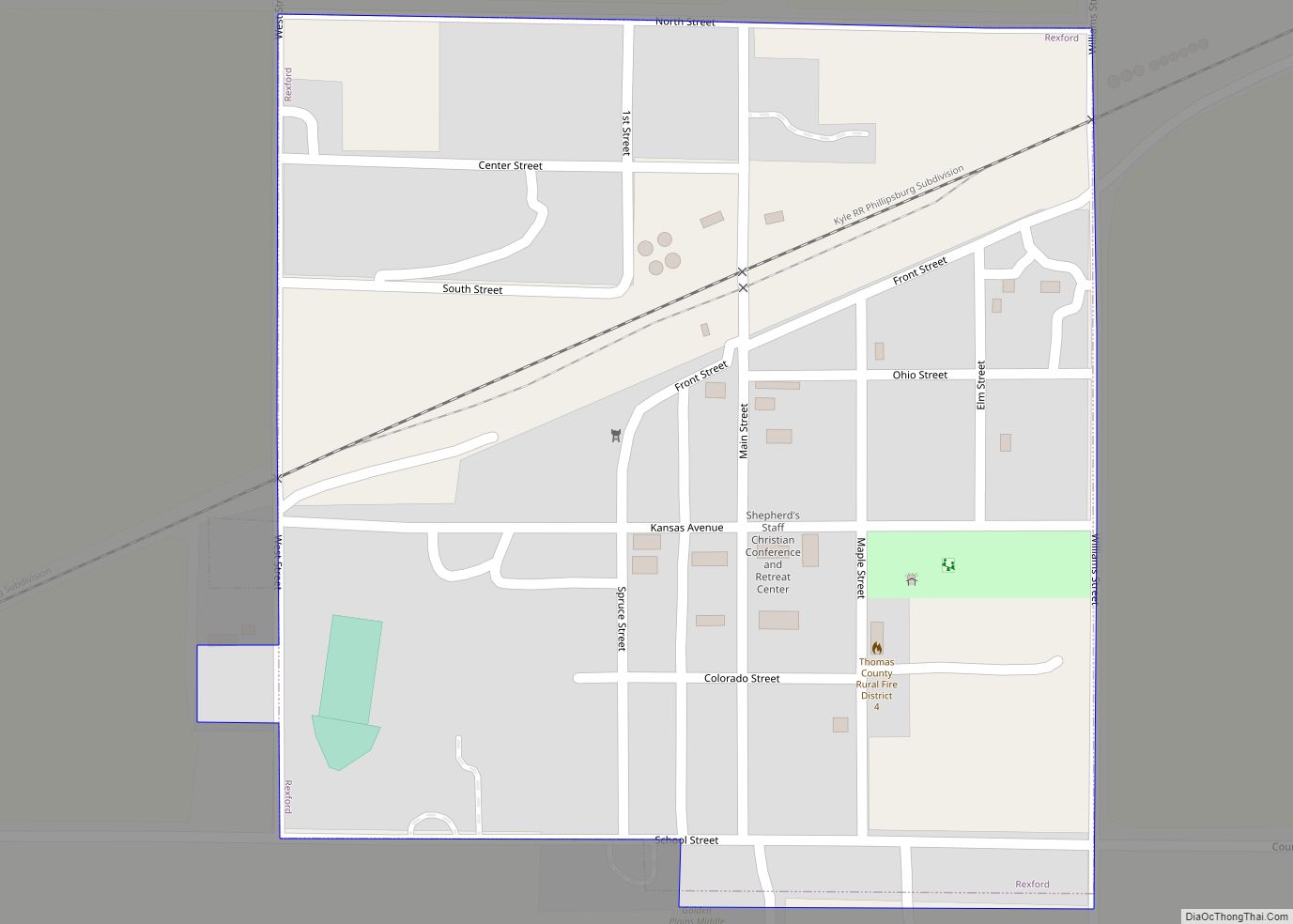
Rexford Road Map
Rexford city Satellite Map
Geography
Rexford is located at 39°28′14″N 100°44′38″W / 39.47056°N 100.74389°W / 39.47056; -100.74389 (39.470512, -100.743975). Rexford is located along U.S. Route 83 about 20 miles north of Interstate 70. According to the United States Census Bureau, the city has a total area of 0.26 square miles (0.67 km), all of it land.
Climate
The climate in this area is characterized by hot, humid summers and generally mild to cool winters. The region has occasional, significant blizzards when the entire area can be without electricity. According to the Köppen Climate Classification system, Rexford has a humid subtropical climate, abbreviated “Cfa” on climate maps.
See also
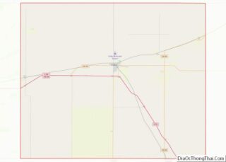
Map of Kansas State and its subdivision:- Allen
- Anderson
- Atchison
- Barber
- Barton
- Bourbon
- Brown
- Butler
- Chase
- Chautauqua
- Cherokee
- Cheyenne
- Clark
- Clay
- Cloud
- Coffey
- Comanche
- Cowley
- Crawford
- Decatur
- Dickinson
- Doniphan
- Douglas
- Edwards
- Elk
- Ellis
- Ellsworth
- Finney
- Ford
- Franklin
- Geary
- Gove
- Graham
- Grant
- Gray
- Greeley
- Greenwood
- Hamilton
- Harper
- Harvey
- Haskell
- Hodgeman
- Jackson
- Jefferson
- Jewell
- Johnson
- Kearny
- Kingman
- Kiowa
- Labette
- Lane
- Leavenworth
- Lincoln
- Linn
- Logan
- Lyon
- Marion
- Marshall
- McPherson
- Meade
- Miami
- Mitchell
- Montgomery
- Morris
- Morton
- Nemaha
- Neosho
- Ness
- Norton
- Osage
- Osborne
- Ottawa
- Pawnee
- Phillips
- Pottawatomie
- Pratt
- Rawlins
- Reno
- Republic
- Rice
- Riley
- Rooks
- Rush
- Russell
- Saline
- Scott
- Sedgwick
- Seward
- Shawnee
- Sheridan
- Sherman
- Smith
- Stafford
- Stanton
- Stevens
- Sumner
- Thomas
- Trego
- Wabaunsee
- Wallace
- Washington
- Wichita
- Wilson
- Woodson
- Wyandotte
- Alabama
- Alaska
- Arizona
- Arkansas
- California
- Colorado
- Connecticut
- Delaware
- District of Columbia
- Florida
- Georgia
- Hawaii
- Idaho
- Illinois
- Indiana
- Iowa
- Kansas
- Kentucky
- Louisiana
- Maine
- Maryland
- Massachusetts
- Michigan
- Minnesota
- Mississippi
- Missouri
- Montana
- Nebraska
- Nevada
- New Hampshire
- New Jersey
- New Mexico
- New York
- North Carolina
- North Dakota
- Ohio
- Oklahoma
- Oregon
- Pennsylvania
- Rhode Island
- South Carolina
- South Dakota
- Tennessee
- Texas
- Utah
- Vermont
- Virginia
- Washington
- West Virginia
- Wisconsin
- Wyoming
