Russell Springs is a city in Logan County, Kansas, United States. As of the 2020 census, the population of the city was 26.
| Name: | Russell Springs city |
|---|---|
| LSAD Code: | 25 |
| LSAD Description: | city (suffix) |
| State: | Kansas |
| County: | Logan County |
| Founded: | 1865 |
| Incorporated: | 1888 |
| Elevation: | 2,966 ft (904 m) |
| Total Area: | 0.71 sq mi (1.83 km²) |
| Land Area: | 0.71 sq mi (1.83 km²) |
| Water Area: | 0.00 sq mi (0.00 km²) |
| Total Population: | 26 |
| Population Density: | 37/sq mi (14/km²) |
| ZIP code: | 67764 |
| Area code: | 785 |
| FIPS code: | 2061875 |
Online Interactive Map
Click on ![]() to view map in "full screen" mode.
to view map in "full screen" mode.
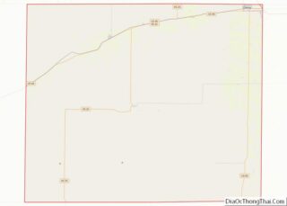
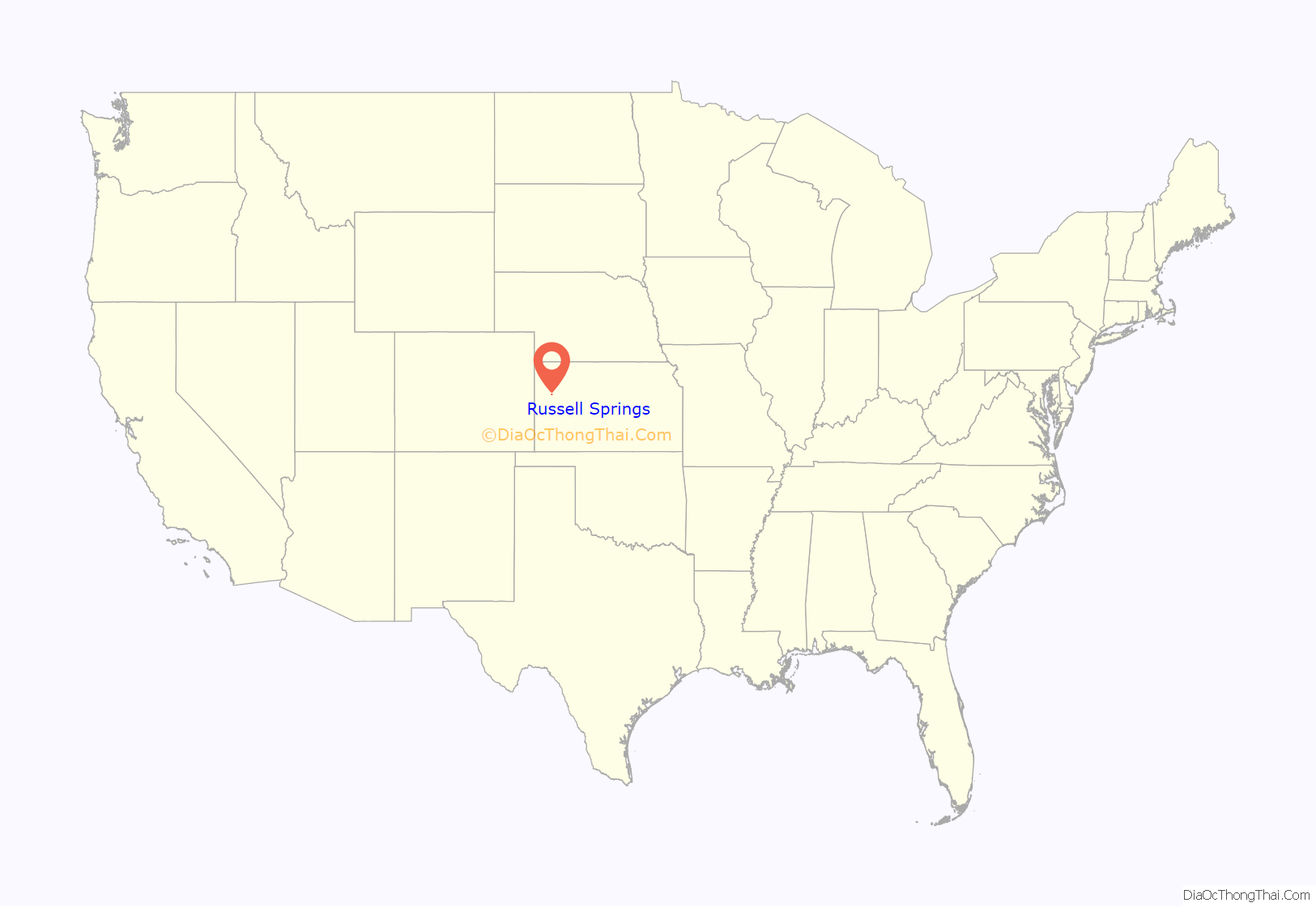
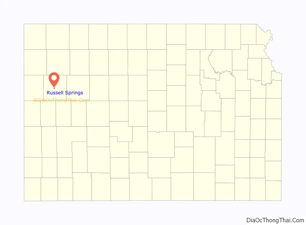
Russell Springs location map. Where is Russell Springs city?
History
Russell Springs, founded in 1865, was the Eaton stop on the Butterfield Overland Dispatch stage line. The line ran through rough Indian country to connect the gold mines in Denver, Colorado, with Fort Riley, Kansas. It ran until the Kansas Pacific Railroad was built. Travelers on the Butterfield Trail always made the natural springs in the area a watering place and calling them “Russell’s Springs”.
It was named for Avra P. Russell, of the 2nd Regiment Kansas Volunteer Cavalry.
Russell Springs was the county seat of Logan County until 1963. There was much feuding over which town should serve as county seat, and Oakley won the honor in 1963. In 1965, the old county courthouse in Russell Springs became the Butterfield Trail Museum.
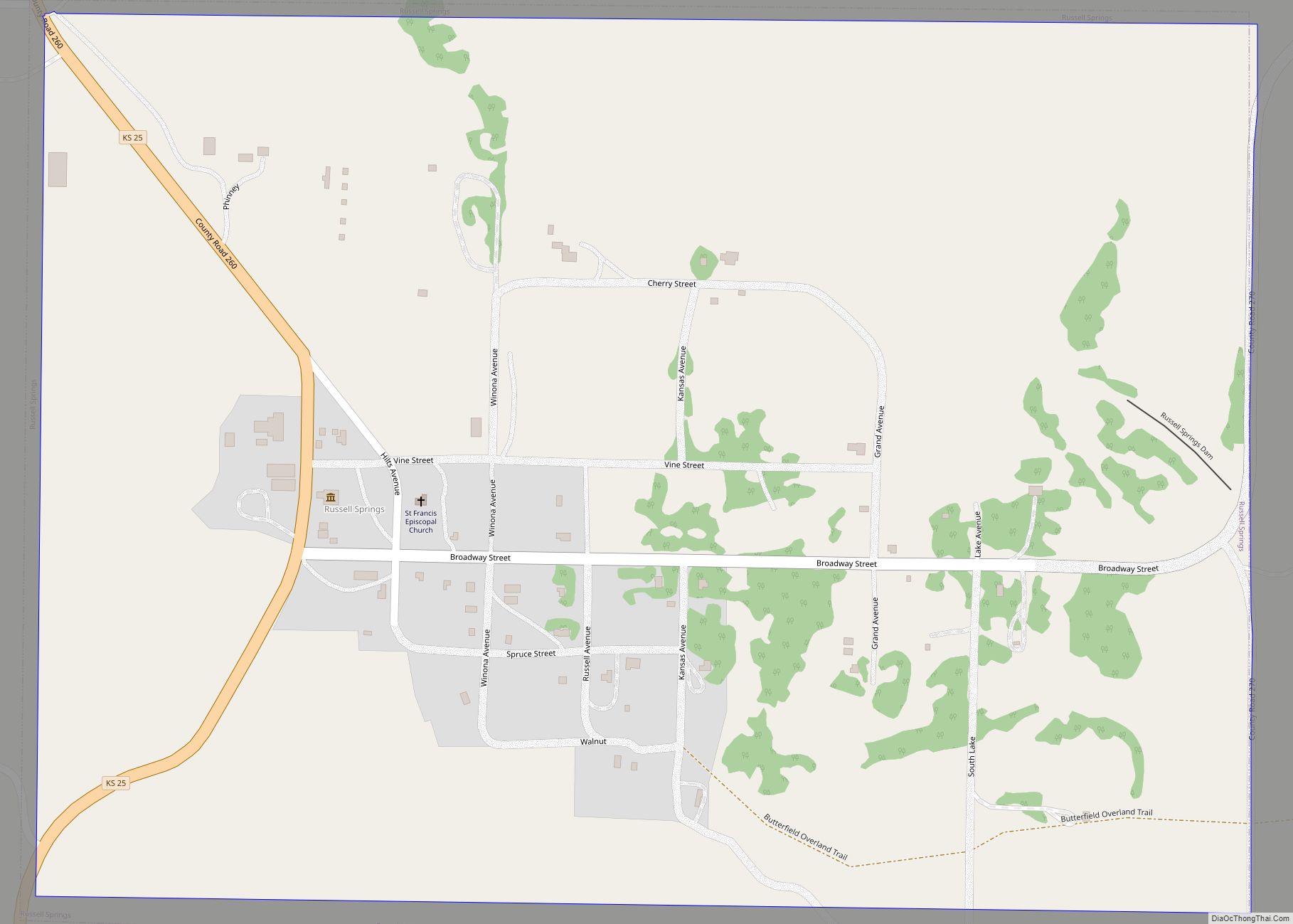
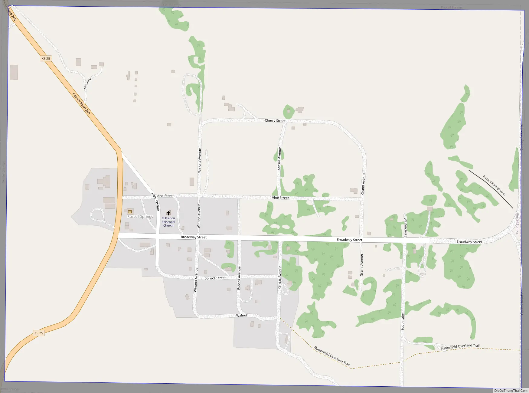
Russell Springs Road Map
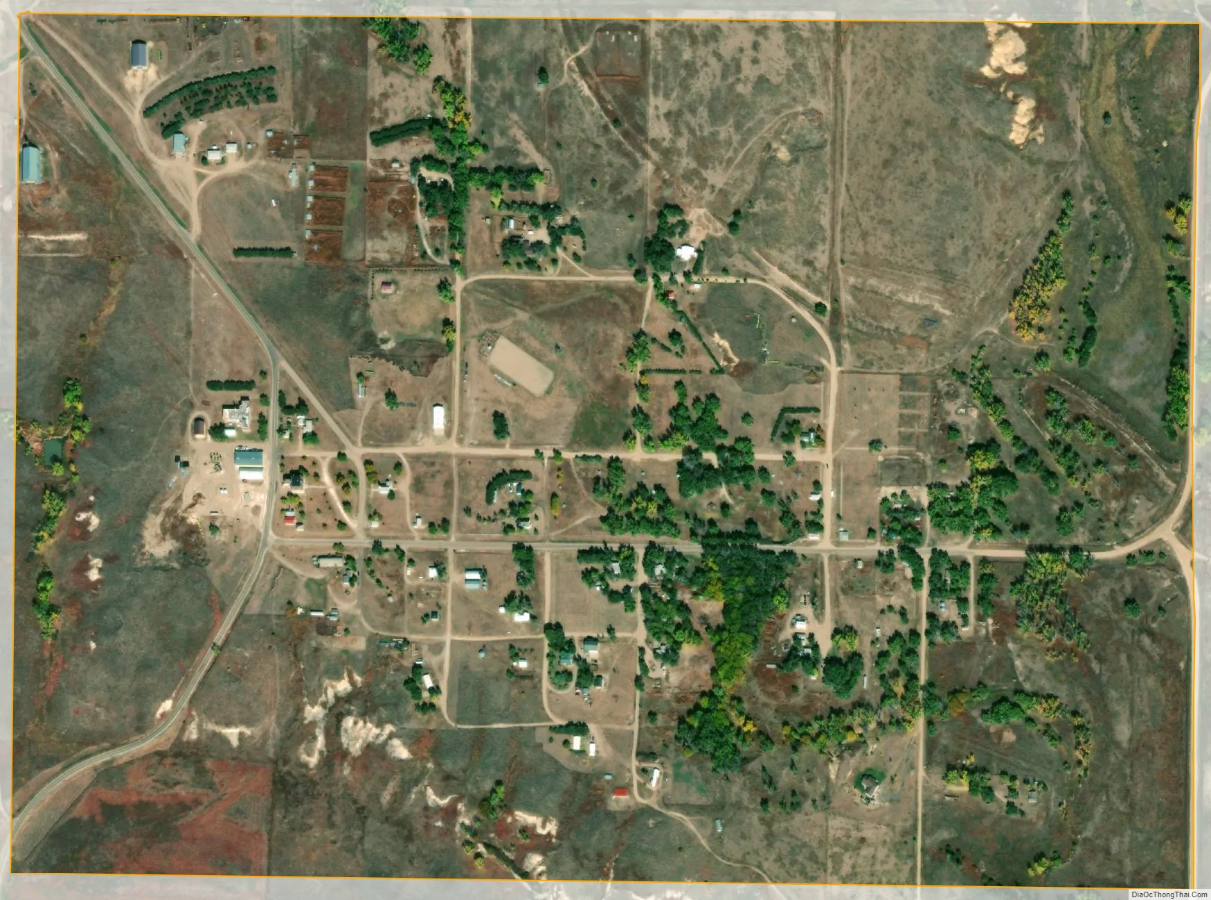
Russell Springs city Satellite Map
Geography
Russell Springs is located at 38°54′40″N 101°10′33″W / 38.91111°N 101.17583°W / 38.91111; -101.17583 (38.911215, -101.175917). According to the United States Census Bureau, the city has a total area of 0.75 square miles (1.94 km), all of it land.
Climate
According to the Köppen Climate Classification system, Russell Springs has a semi-arid climate, abbreviated “BSk” on climate maps.
See also
Map of Kansas State and its subdivision:- Allen
- Anderson
- Atchison
- Barber
- Barton
- Bourbon
- Brown
- Butler
- Chase
- Chautauqua
- Cherokee
- Cheyenne
- Clark
- Clay
- Cloud
- Coffey
- Comanche
- Cowley
- Crawford
- Decatur
- Dickinson
- Doniphan
- Douglas
- Edwards
- Elk
- Ellis
- Ellsworth
- Finney
- Ford
- Franklin
- Geary
- Gove
- Graham
- Grant
- Gray
- Greeley
- Greenwood
- Hamilton
- Harper
- Harvey
- Haskell
- Hodgeman
- Jackson
- Jefferson
- Jewell
- Johnson
- Kearny
- Kingman
- Kiowa
- Labette
- Lane
- Leavenworth
- Lincoln
- Linn
- Logan
- Lyon
- Marion
- Marshall
- McPherson
- Meade
- Miami
- Mitchell
- Montgomery
- Morris
- Morton
- Nemaha
- Neosho
- Ness
- Norton
- Osage
- Osborne
- Ottawa
- Pawnee
- Phillips
- Pottawatomie
- Pratt
- Rawlins
- Reno
- Republic
- Rice
- Riley
- Rooks
- Rush
- Russell
- Saline
- Scott
- Sedgwick
- Seward
- Shawnee
- Sheridan
- Sherman
- Smith
- Stafford
- Stanton
- Stevens
- Sumner
- Thomas
- Trego
- Wabaunsee
- Wallace
- Washington
- Wichita
- Wilson
- Woodson
- Wyandotte
- Alabama
- Alaska
- Arizona
- Arkansas
- California
- Colorado
- Connecticut
- Delaware
- District of Columbia
- Florida
- Georgia
- Hawaii
- Idaho
- Illinois
- Indiana
- Iowa
- Kansas
- Kentucky
- Louisiana
- Maine
- Maryland
- Massachusetts
- Michigan
- Minnesota
- Mississippi
- Missouri
- Montana
- Nebraska
- Nevada
- New Hampshire
- New Jersey
- New Mexico
- New York
- North Carolina
- North Dakota
- Ohio
- Oklahoma
- Oregon
- Pennsylvania
- Rhode Island
- South Carolina
- South Dakota
- Tennessee
- Texas
- Utah
- Vermont
- Virginia
- Washington
- West Virginia
- Wisconsin
- Wyoming