Savonburg is a city in Allen County, Kansas, United States. As of the 2020 census, the population of the city was 74.
| Name: | Savonburg city |
|---|---|
| LSAD Code: | 25 |
| LSAD Description: | city (suffix) |
| State: | Kansas |
| County: | Allen County |
| Founded: | 1879 |
| Incorporated: | 1902 |
| Elevation: | 1,053 ft (321 m) |
| Total Area: | 0.19 sq mi (0.50 km²) |
| Land Area: | 0.19 sq mi (0.50 km²) |
| Water Area: | 0.00 sq mi (0.00 km²) |
| Total Population: | 74 |
| Population Density: | 390/sq mi (150/km²) |
| ZIP code: | 66772 |
| Area code: | 620 |
| FIPS code: | 2063200 |
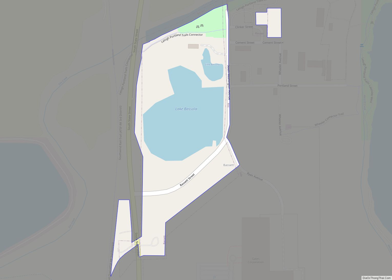
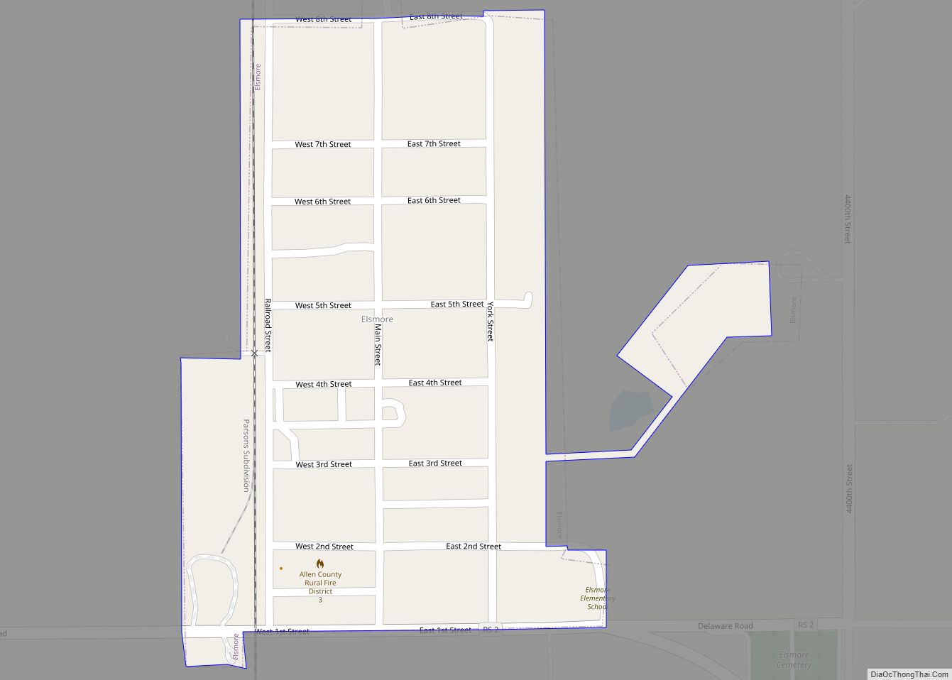
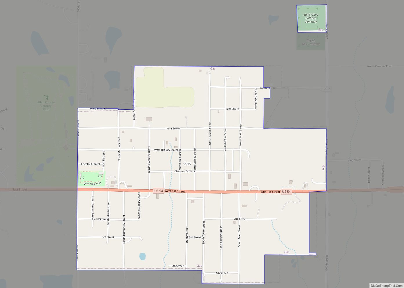
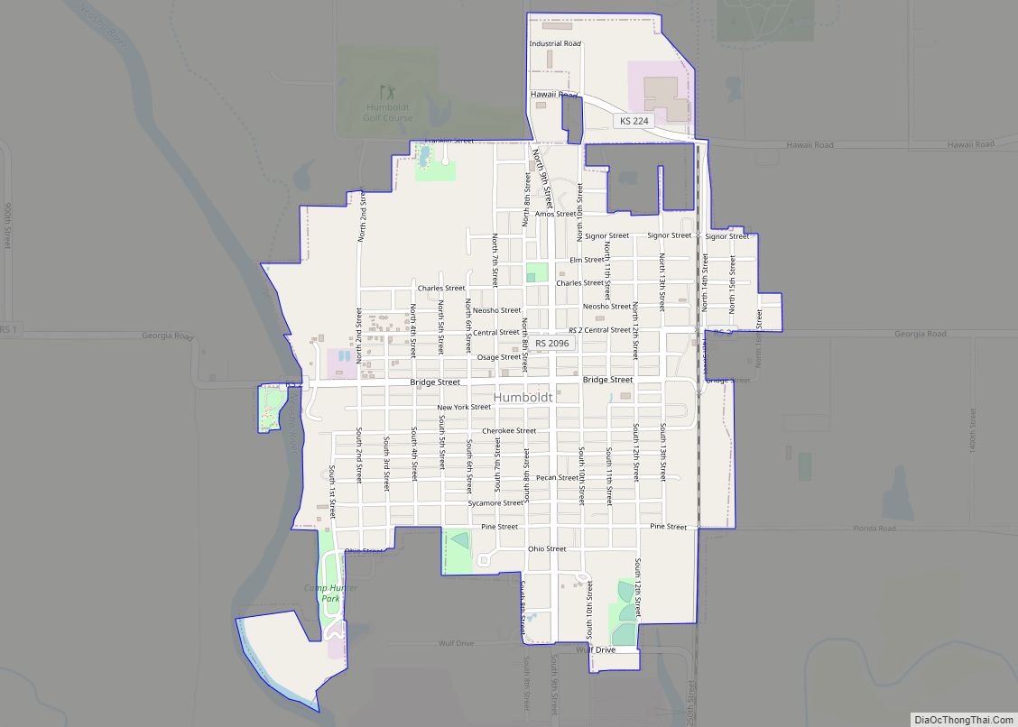
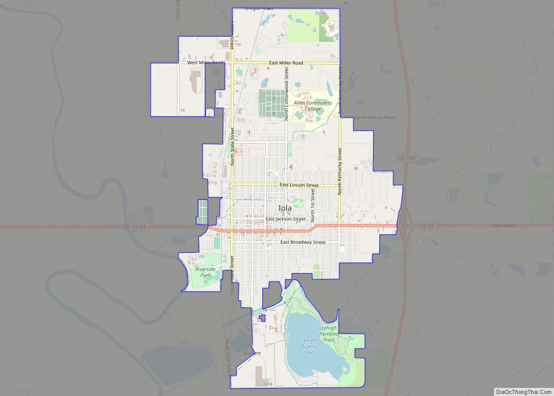
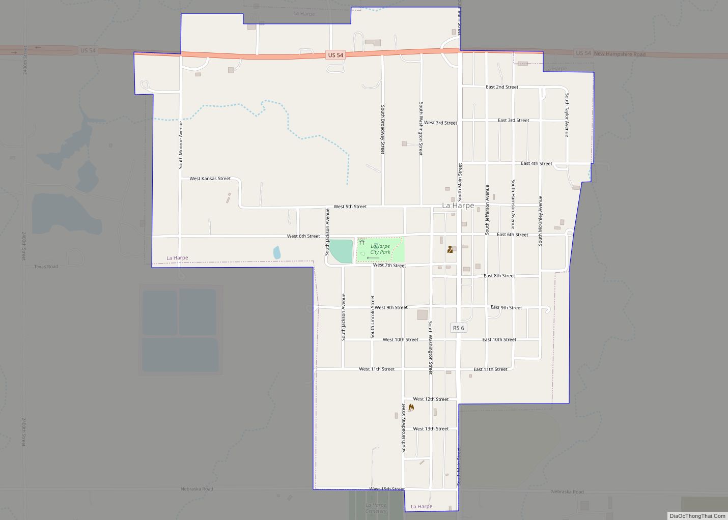
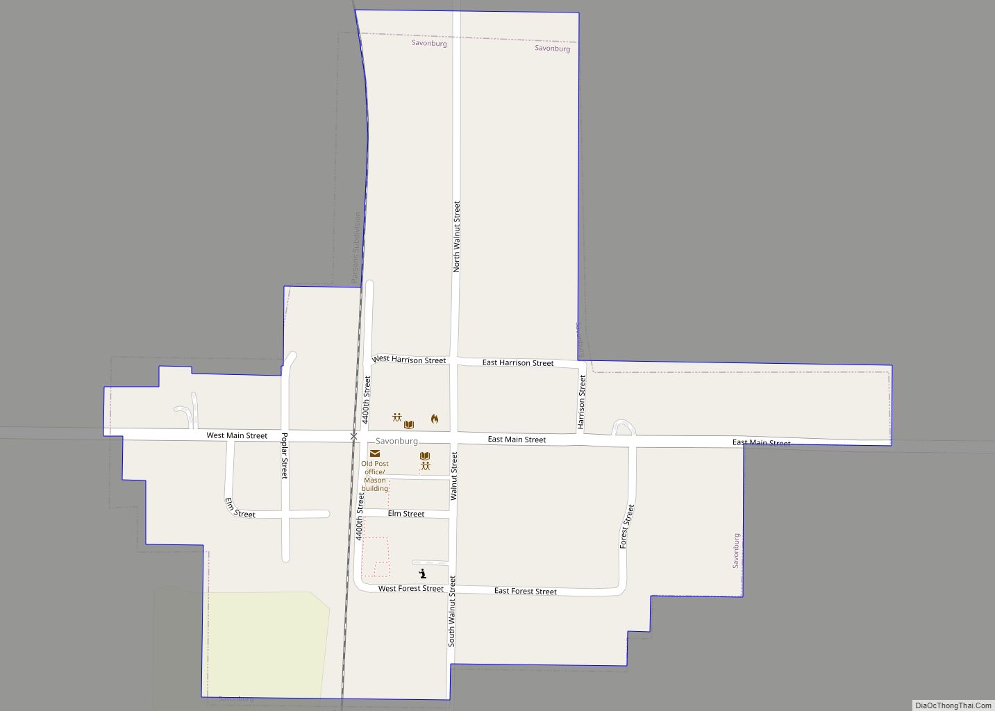
Online Interactive Map
Click on ![]() to view map in "full screen" mode.
to view map in "full screen" mode.
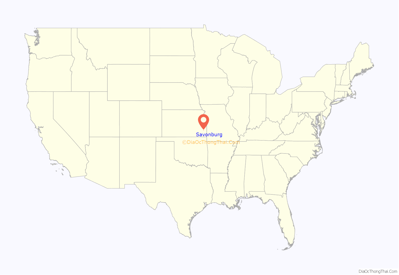
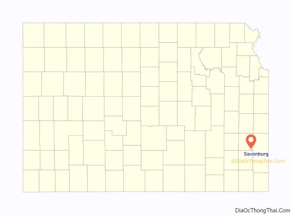
Savonburg location map. Where is Savonburg city?
History
Savonburg was founded in 1879. The origin of the name Savonburg is obscure. It was incorporated as a city in 1902. Its high school closed in 1946, then its grade school closed in the 1960s. Many of the settlers of Savonburg were Swedish. In the early days, the city had a Swedish concert band. For much of the 20th century, Savonburg was served by the Missouri–Kansas–Texas Railroad which maintained a passenger depot in the city.
Savonburg Road Map
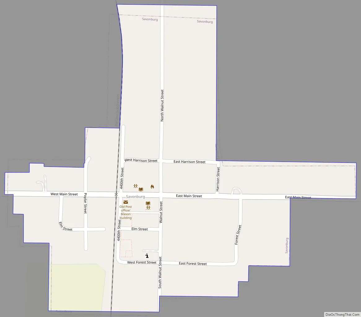
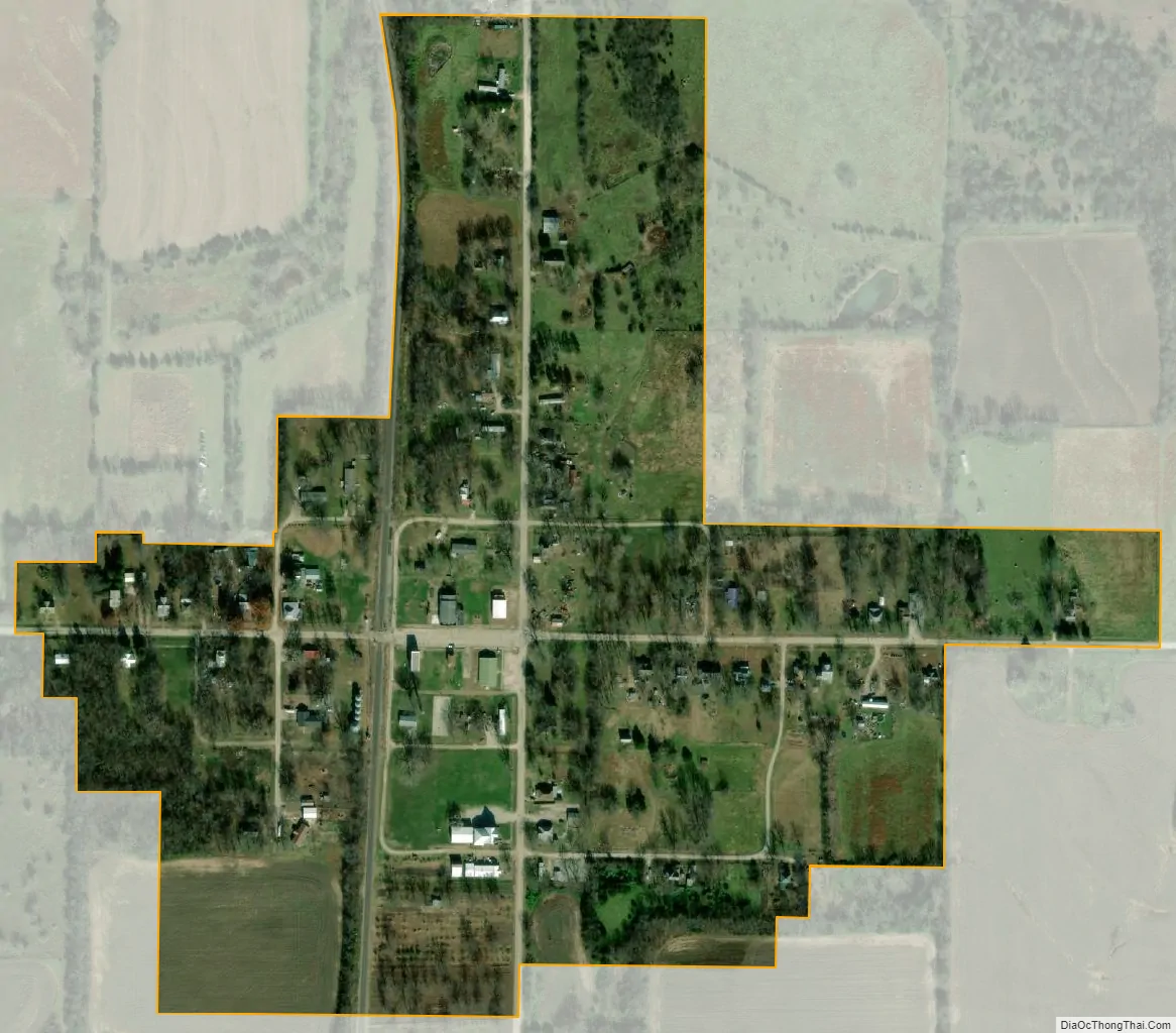
Savonburg city Satellite Map
Geography
Savonburg is located at 37°44′53″N 95°8′37″W / 37.74806°N 95.14361°W / 37.74806; -95.14361 (37.748124, -95.143508). According to the United States Census Bureau, the city has a total area of 0.20 square miles (0.52 km), all of it land.
See also
Map of Kansas State and its subdivision:- Allen
- Anderson
- Atchison
- Barber
- Barton
- Bourbon
- Brown
- Butler
- Chase
- Chautauqua
- Cherokee
- Cheyenne
- Clark
- Clay
- Cloud
- Coffey
- Comanche
- Cowley
- Crawford
- Decatur
- Dickinson
- Doniphan
- Douglas
- Edwards
- Elk
- Ellis
- Ellsworth
- Finney
- Ford
- Franklin
- Geary
- Gove
- Graham
- Grant
- Gray
- Greeley
- Greenwood
- Hamilton
- Harper
- Harvey
- Haskell
- Hodgeman
- Jackson
- Jefferson
- Jewell
- Johnson
- Kearny
- Kingman
- Kiowa
- Labette
- Lane
- Leavenworth
- Lincoln
- Linn
- Logan
- Lyon
- Marion
- Marshall
- McPherson
- Meade
- Miami
- Mitchell
- Montgomery
- Morris
- Morton
- Nemaha
- Neosho
- Ness
- Norton
- Osage
- Osborne
- Ottawa
- Pawnee
- Phillips
- Pottawatomie
- Pratt
- Rawlins
- Reno
- Republic
- Rice
- Riley
- Rooks
- Rush
- Russell
- Saline
- Scott
- Sedgwick
- Seward
- Shawnee
- Sheridan
- Sherman
- Smith
- Stafford
- Stanton
- Stevens
- Sumner
- Thomas
- Trego
- Wabaunsee
- Wallace
- Washington
- Wichita
- Wilson
- Woodson
- Wyandotte
- Alabama
- Alaska
- Arizona
- Arkansas
- California
- Colorado
- Connecticut
- Delaware
- District of Columbia
- Florida
- Georgia
- Hawaii
- Idaho
- Illinois
- Indiana
- Iowa
- Kansas
- Kentucky
- Louisiana
- Maine
- Maryland
- Massachusetts
- Michigan
- Minnesota
- Mississippi
- Missouri
- Montana
- Nebraska
- Nevada
- New Hampshire
- New Jersey
- New Mexico
- New York
- North Carolina
- North Dakota
- Ohio
- Oklahoma
- Oregon
- Pennsylvania
- Rhode Island
- South Carolina
- South Dakota
- Tennessee
- Texas
- Utah
- Vermont
- Virginia
- Washington
- West Virginia
- Wisconsin
- Wyoming