Severance is a city in Doniphan County, Kansas, United States. As of the 2020 census, the population of the city was 76.
| Name: | Severance city |
|---|---|
| LSAD Code: | 25 |
| LSAD Description: | city (suffix) |
| State: | Kansas |
| County: | Doniphan County |
| Founded: | 1869 |
| Incorporated: | 1877 |
| Elevation: | 925 ft (282 m) |
| Total Area: | 0.14 sq mi (0.36 km²) |
| Land Area: | 0.14 sq mi (0.36 km²) |
| Water Area: | 0.00 sq mi (0.00 km²) |
| Total Population: | 76 |
| Population Density: | 540/sq mi (210/km²) |
| ZIP code: | 66087 |
| Area code: | 785 |
| FIPS code: | 2064025 |
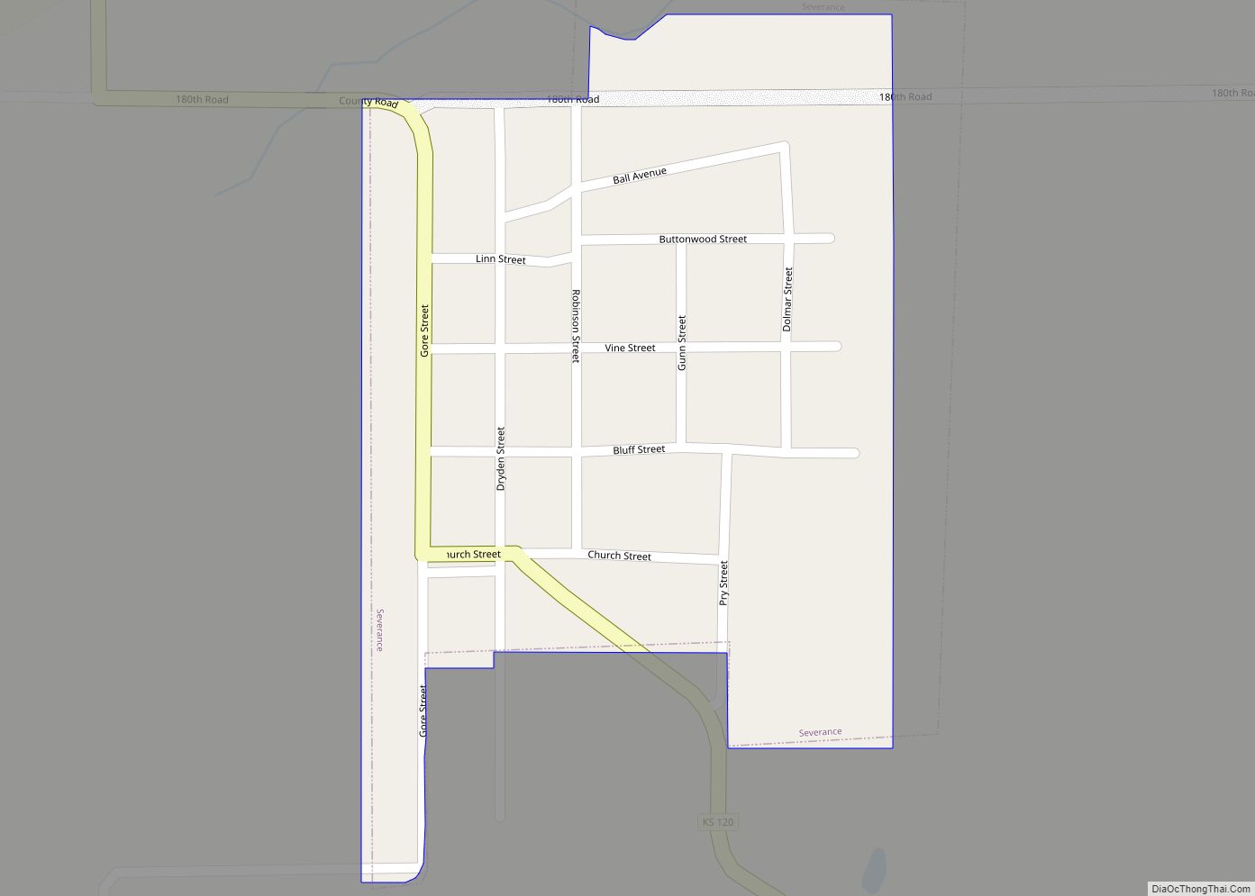
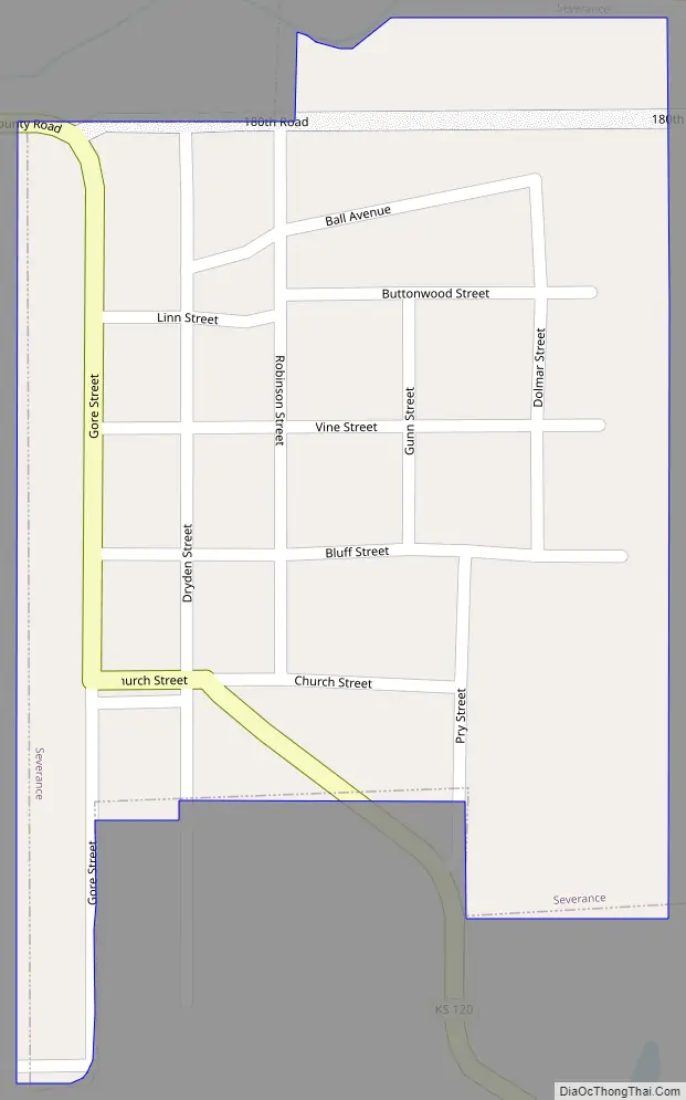
Online Interactive Map
Click on ![]() to view map in "full screen" mode.
to view map in "full screen" mode.
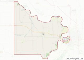
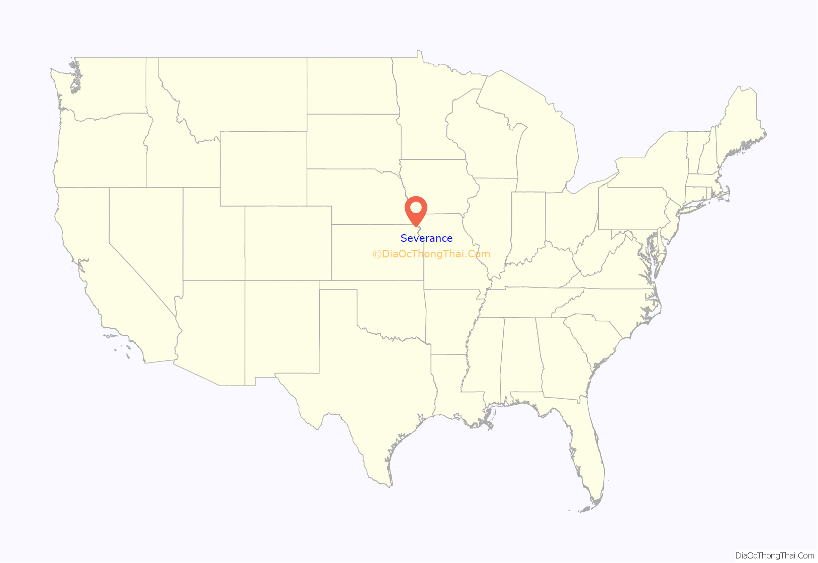
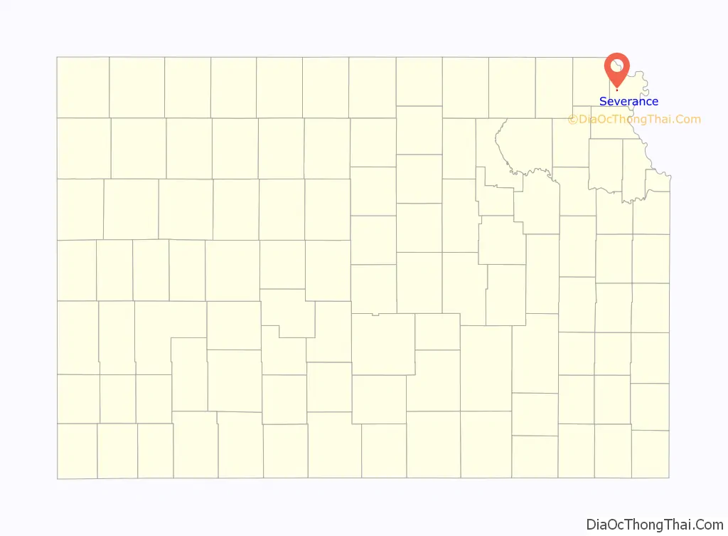
Severance location map. Where is Severance city?
History
Severance was laid out in 1869. It was named for John Severance, one of its founders. A railroad depot was built in Severance in 1874. Severance was incorporated as a city in 1877.
A post office was opened in Severance in 1869, and remained in operation until it was discontinued in 1992.
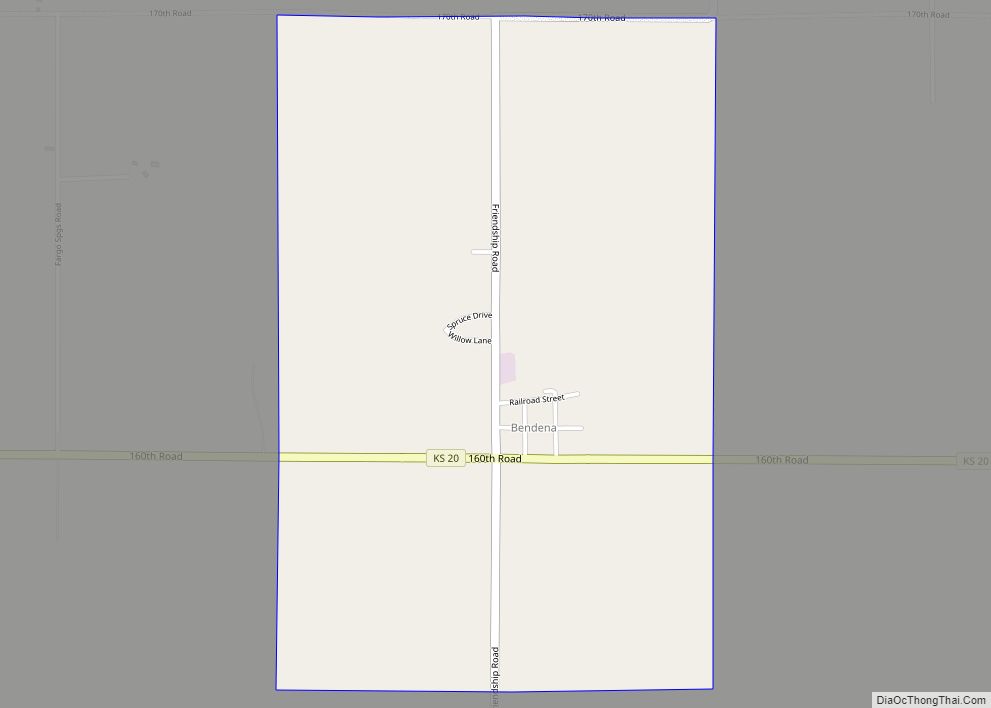
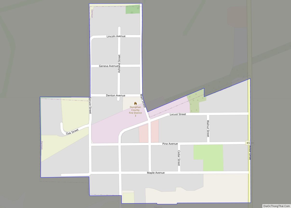
Severance Road Map
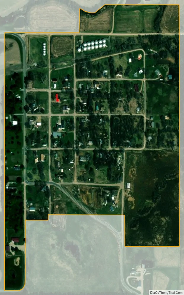
Severance city Satellite Map
Geography
Severance is located at 39°46′4″N 95°15′1″W / 39.76778°N 95.25028°W / 39.76778; -95.25028 (39.767644, -95.250303), along the Wolf River. According to the United States Census Bureau, the city has a total area of 0.14 square miles (0.36 km), all land.
See also
Map of Kansas State and its subdivision:- Allen
- Anderson
- Atchison
- Barber
- Barton
- Bourbon
- Brown
- Butler
- Chase
- Chautauqua
- Cherokee
- Cheyenne
- Clark
- Clay
- Cloud
- Coffey
- Comanche
- Cowley
- Crawford
- Decatur
- Dickinson
- Doniphan
- Douglas
- Edwards
- Elk
- Ellis
- Ellsworth
- Finney
- Ford
- Franklin
- Geary
- Gove
- Graham
- Grant
- Gray
- Greeley
- Greenwood
- Hamilton
- Harper
- Harvey
- Haskell
- Hodgeman
- Jackson
- Jefferson
- Jewell
- Johnson
- Kearny
- Kingman
- Kiowa
- Labette
- Lane
- Leavenworth
- Lincoln
- Linn
- Logan
- Lyon
- Marion
- Marshall
- McPherson
- Meade
- Miami
- Mitchell
- Montgomery
- Morris
- Morton
- Nemaha
- Neosho
- Ness
- Norton
- Osage
- Osborne
- Ottawa
- Pawnee
- Phillips
- Pottawatomie
- Pratt
- Rawlins
- Reno
- Republic
- Rice
- Riley
- Rooks
- Rush
- Russell
- Saline
- Scott
- Sedgwick
- Seward
- Shawnee
- Sheridan
- Sherman
- Smith
- Stafford
- Stanton
- Stevens
- Sumner
- Thomas
- Trego
- Wabaunsee
- Wallace
- Washington
- Wichita
- Wilson
- Woodson
- Wyandotte
- Alabama
- Alaska
- Arizona
- Arkansas
- California
- Colorado
- Connecticut
- Delaware
- District of Columbia
- Florida
- Georgia
- Hawaii
- Idaho
- Illinois
- Indiana
- Iowa
- Kansas
- Kentucky
- Louisiana
- Maine
- Maryland
- Massachusetts
- Michigan
- Minnesota
- Mississippi
- Missouri
- Montana
- Nebraska
- Nevada
- New Hampshire
- New Jersey
- New Mexico
- New York
- North Carolina
- North Dakota
- Ohio
- Oklahoma
- Oregon
- Pennsylvania
- Rhode Island
- South Carolina
- South Dakota
- Tennessee
- Texas
- Utah
- Vermont
- Virginia
- Washington
- West Virginia
- Wisconsin
- Wyoming