Stark is a city in Neosho County, Kansas, United States. As of the 2020 census, the population of the city was 69.
| Name: | Stark city |
|---|---|
| LSAD Code: | 25 |
| LSAD Description: | city (suffix) |
| State: | Kansas |
| County: | Neosho County |
| Founded: | 1888 |
| Incorporated: | 1910 |
| Elevation: | 1,063 ft (324 m) |
| Total Area: | 0.16 sq mi (0.43 km²) |
| Land Area: | 0.16 sq mi (0.43 km²) |
| Water Area: | 0.00 sq mi (0.00 km²) |
| Total Population: | 69 |
| Population Density: | 430/sq mi (160/km²) |
| ZIP code: | 66775 |
| Area code: | 620 |
| FIPS code: | 2068025 |
Online Interactive Map
Click on ![]() to view map in "full screen" mode.
to view map in "full screen" mode.
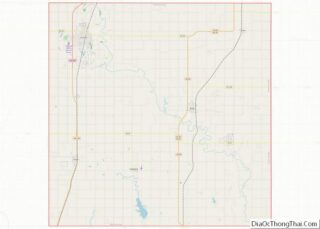
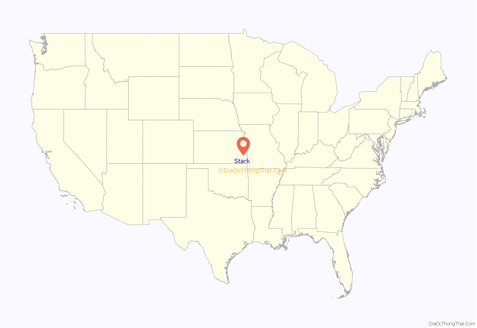
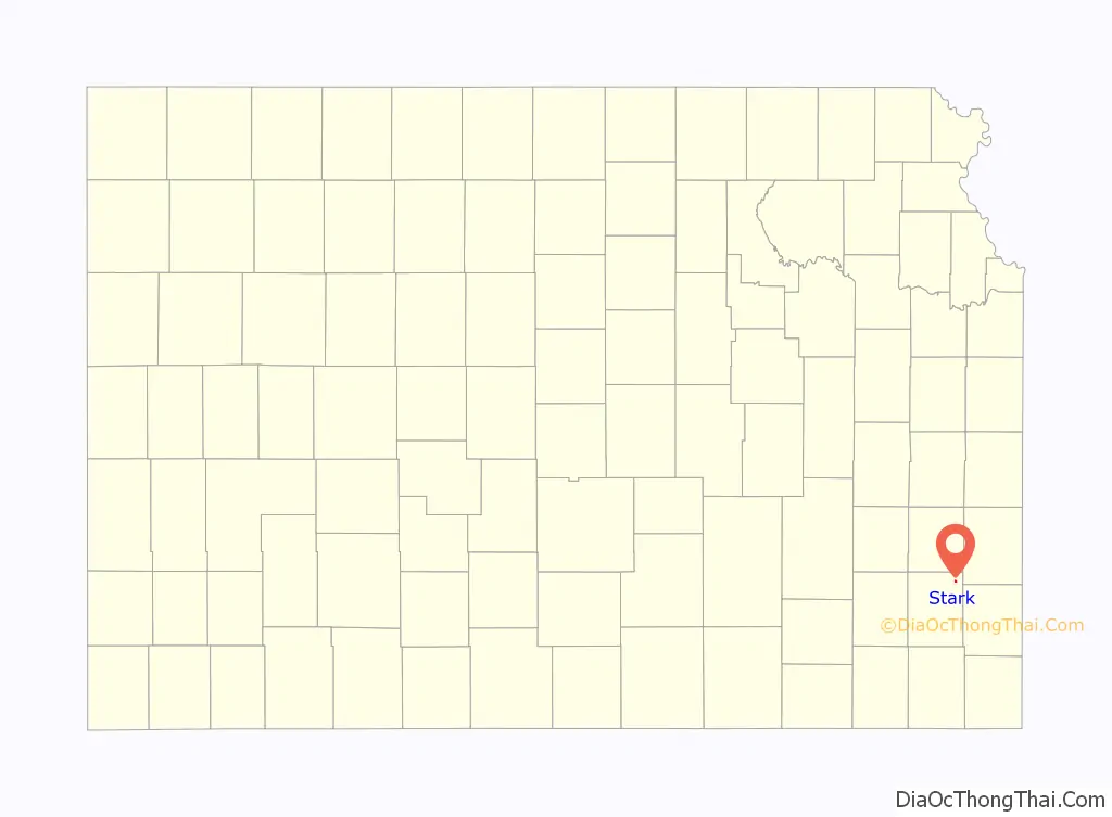
Stark location map. Where is Stark city?
History
The first post office at Stark was established in January 1886.
Stark was laid out and platted in 1888. It was named after Stark County, Illinois. The Kansas City Pacific Railroad built through Stark and maintained passenger and freight depots in the town. The rail line soon became the Kansas City Division of the Missouri-Kansas-Texas Railroad and is still active today as part of the Union Pacific Railroad.
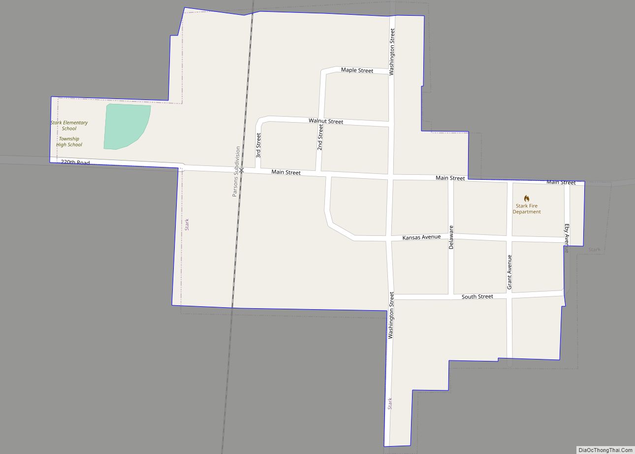
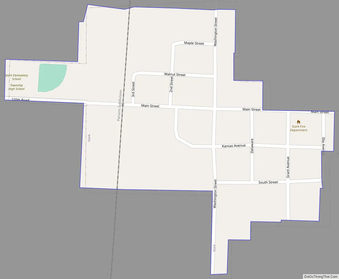
Stark Road Map
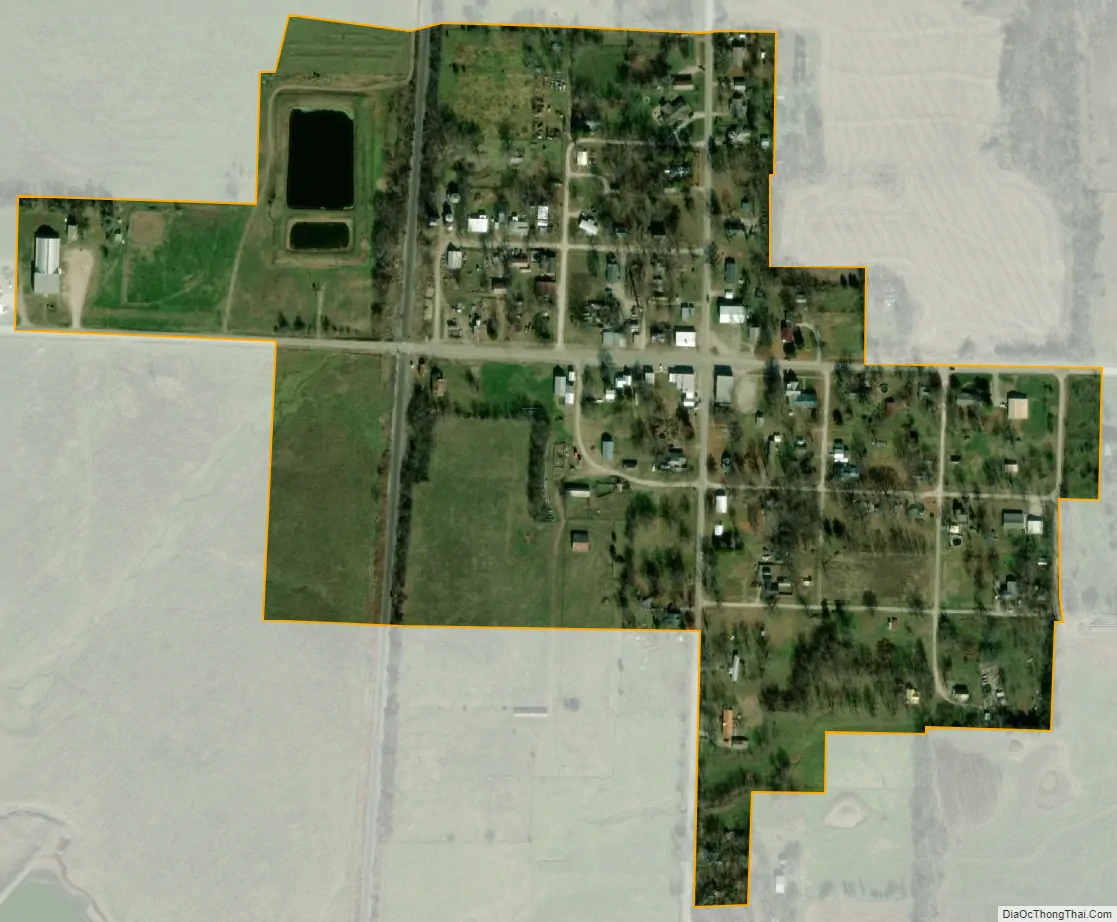
Stark city Satellite Map
Geography
Stark is located at 37°41′23″N 95°8′37″W / 37.68972°N 95.14361°W / 37.68972; -95.14361 (37.689592, -95.143573), at an elevation of 1,063 feet (324 m). According to the United States Census Bureau, the city has a total area of 0.17 square miles (0.44 km), all of it land.
Stark is located east of U.S. Route 59 on K-201.
See also
Map of Kansas State and its subdivision:- Allen
- Anderson
- Atchison
- Barber
- Barton
- Bourbon
- Brown
- Butler
- Chase
- Chautauqua
- Cherokee
- Cheyenne
- Clark
- Clay
- Cloud
- Coffey
- Comanche
- Cowley
- Crawford
- Decatur
- Dickinson
- Doniphan
- Douglas
- Edwards
- Elk
- Ellis
- Ellsworth
- Finney
- Ford
- Franklin
- Geary
- Gove
- Graham
- Grant
- Gray
- Greeley
- Greenwood
- Hamilton
- Harper
- Harvey
- Haskell
- Hodgeman
- Jackson
- Jefferson
- Jewell
- Johnson
- Kearny
- Kingman
- Kiowa
- Labette
- Lane
- Leavenworth
- Lincoln
- Linn
- Logan
- Lyon
- Marion
- Marshall
- McPherson
- Meade
- Miami
- Mitchell
- Montgomery
- Morris
- Morton
- Nemaha
- Neosho
- Ness
- Norton
- Osage
- Osborne
- Ottawa
- Pawnee
- Phillips
- Pottawatomie
- Pratt
- Rawlins
- Reno
- Republic
- Rice
- Riley
- Rooks
- Rush
- Russell
- Saline
- Scott
- Sedgwick
- Seward
- Shawnee
- Sheridan
- Sherman
- Smith
- Stafford
- Stanton
- Stevens
- Sumner
- Thomas
- Trego
- Wabaunsee
- Wallace
- Washington
- Wichita
- Wilson
- Woodson
- Wyandotte
- Alabama
- Alaska
- Arizona
- Arkansas
- California
- Colorado
- Connecticut
- Delaware
- District of Columbia
- Florida
- Georgia
- Hawaii
- Idaho
- Illinois
- Indiana
- Iowa
- Kansas
- Kentucky
- Louisiana
- Maine
- Maryland
- Massachusetts
- Michigan
- Minnesota
- Mississippi
- Missouri
- Montana
- Nebraska
- Nevada
- New Hampshire
- New Jersey
- New Mexico
- New York
- North Carolina
- North Dakota
- Ohio
- Oklahoma
- Oregon
- Pennsylvania
- Rhode Island
- South Carolina
- South Dakota
- Tennessee
- Texas
- Utah
- Vermont
- Virginia
- Washington
- West Virginia
- Wisconsin
- Wyoming