Wellsville is a city in Franklin County, Kansas, United States. As of the 2020 census, the population of the city was 1,953.
| Name: | Wellsville city |
|---|---|
| LSAD Code: | 25 |
| LSAD Description: | city (suffix) |
| State: | Kansas |
| County: | Franklin County |
| Founded: | 1870 |
| Incorporated: | 1884 |
| Elevation: | 1,043 ft (318 m) |
| Total Area: | 1.42 sq mi (3.67 km²) |
| Land Area: | 1.41 sq mi (3.65 km²) |
| Water Area: | 0.01 sq mi (0.03 km²) |
| Total Population: | 1,953 |
| Population Density: | 1,400/sq mi (530/km²) |
| ZIP code: | 66092 |
| Area code: | 785 |
| FIPS code: | 2076625 |
| Website: | cityofwellsvilleks.org |
Online Interactive Map
Click on ![]() to view map in "full screen" mode.
to view map in "full screen" mode.
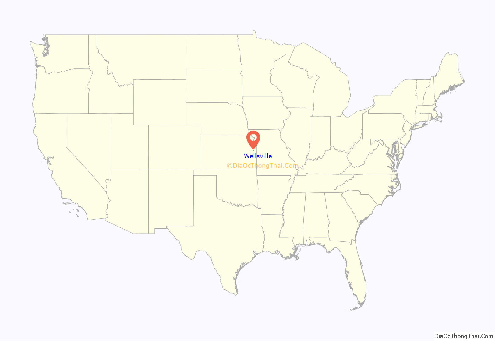
Wellsville location map. Where is Wellsville city?
History
Wellsville was platted in 1870. The community was named after D.L. Wells, a railroad construction engineer.
The first post office in Wellsville was established in October 1870.
On January 9, 1894, baseball star Charlie Bennett went hunting with pitcher John Clarkson. Bennett got off the train in Wellsville to speak to an acquaintance; when he tried to reboard, he slipped and fell under the train’s wheels. Bennett lost both legs in the accident. He was fitted with artificial limbs but his baseball career was over; he lived until 1927.
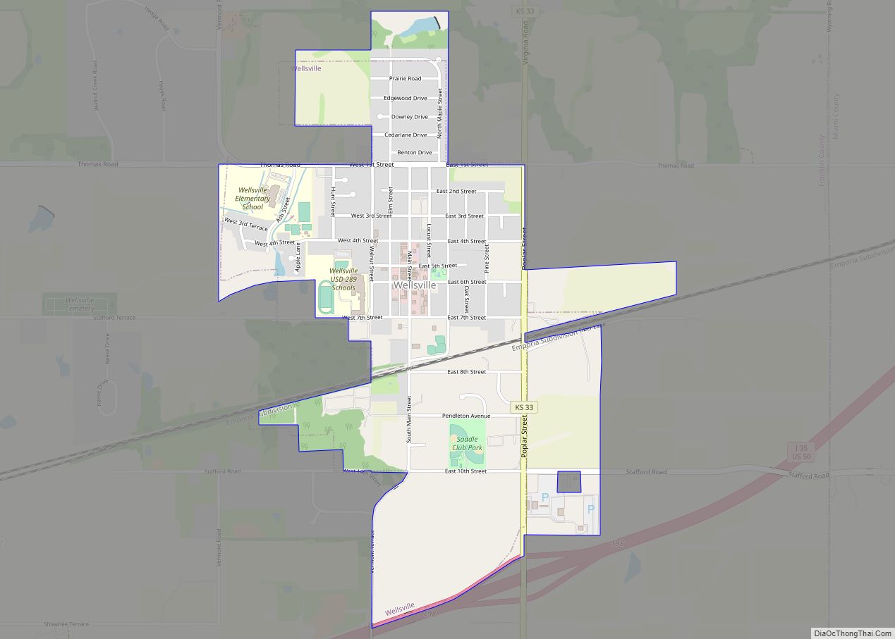
Wellsville Road Map
Wellsville city Satellite Map
Geography
Wellsville is located at 38°43′11″N 95°4′53″W / 38.71972°N 95.08139°W / 38.71972; -95.08139 (38.719694, -95.081358). According to the United States Census Bureau, the city has a total area of 1.40 square miles (3.63 km), of which 1.39 square miles (3.60 km) is land and 0.01 square miles (0.03 km) is water.
See also
Map of Kansas State and its subdivision:- Allen
- Anderson
- Atchison
- Barber
- Barton
- Bourbon
- Brown
- Butler
- Chase
- Chautauqua
- Cherokee
- Cheyenne
- Clark
- Clay
- Cloud
- Coffey
- Comanche
- Cowley
- Crawford
- Decatur
- Dickinson
- Doniphan
- Douglas
- Edwards
- Elk
- Ellis
- Ellsworth
- Finney
- Ford
- Franklin
- Geary
- Gove
- Graham
- Grant
- Gray
- Greeley
- Greenwood
- Hamilton
- Harper
- Harvey
- Haskell
- Hodgeman
- Jackson
- Jefferson
- Jewell
- Johnson
- Kearny
- Kingman
- Kiowa
- Labette
- Lane
- Leavenworth
- Lincoln
- Linn
- Logan
- Lyon
- Marion
- Marshall
- McPherson
- Meade
- Miami
- Mitchell
- Montgomery
- Morris
- Morton
- Nemaha
- Neosho
- Ness
- Norton
- Osage
- Osborne
- Ottawa
- Pawnee
- Phillips
- Pottawatomie
- Pratt
- Rawlins
- Reno
- Republic
- Rice
- Riley
- Rooks
- Rush
- Russell
- Saline
- Scott
- Sedgwick
- Seward
- Shawnee
- Sheridan
- Sherman
- Smith
- Stafford
- Stanton
- Stevens
- Sumner
- Thomas
- Trego
- Wabaunsee
- Wallace
- Washington
- Wichita
- Wilson
- Woodson
- Wyandotte
- Alabama
- Alaska
- Arizona
- Arkansas
- California
- Colorado
- Connecticut
- Delaware
- District of Columbia
- Florida
- Georgia
- Hawaii
- Idaho
- Illinois
- Indiana
- Iowa
- Kansas
- Kentucky
- Louisiana
- Maine
- Maryland
- Massachusetts
- Michigan
- Minnesota
- Mississippi
- Missouri
- Montana
- Nebraska
- Nevada
- New Hampshire
- New Jersey
- New Mexico
- New York
- North Carolina
- North Dakota
- Ohio
- Oklahoma
- Oregon
- Pennsylvania
- Rhode Island
- South Carolina
- South Dakota
- Tennessee
- Texas
- Utah
- Vermont
- Virginia
- Washington
- West Virginia
- Wisconsin
- Wyoming
