Aitkin (/ˈeɪkɪn/ AY-kin) is a city in Aitkin County, Minnesota, United States. The population was 2,168 at the 2020 census. It is the county seat of Aitkin County.
| Name: | Aitkin city |
|---|---|
| LSAD Code: | 25 |
| LSAD Description: | city (suffix) |
| State: | Minnesota |
| County: | Aitkin County |
| Incorporated: | August 19, 1889 |
| Elevation: | 1,214 ft (370 m) |
| Total Area: | 2.93 sq mi (7.58 km²) |
| Land Area: | 2.92 sq mi (7.57 km²) |
| Water Area: | 0.01 sq mi (0.01 km²) |
| Total Population: | 2,168 |
| Population Density: | 741.96/sq mi (286.49/km²) |
| ZIP code: | 56431 |
| Area code: | 218 |
| FIPS code: | 2700460 |
| GNISfeature ID: | 0639235 |
| Website: | ci.aitkin.mn.us |
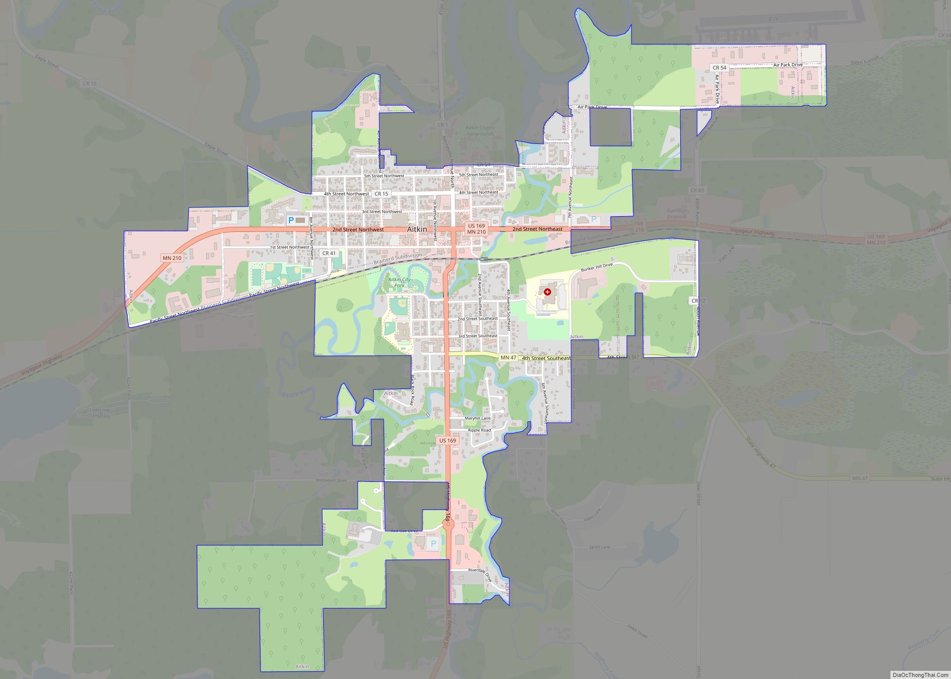
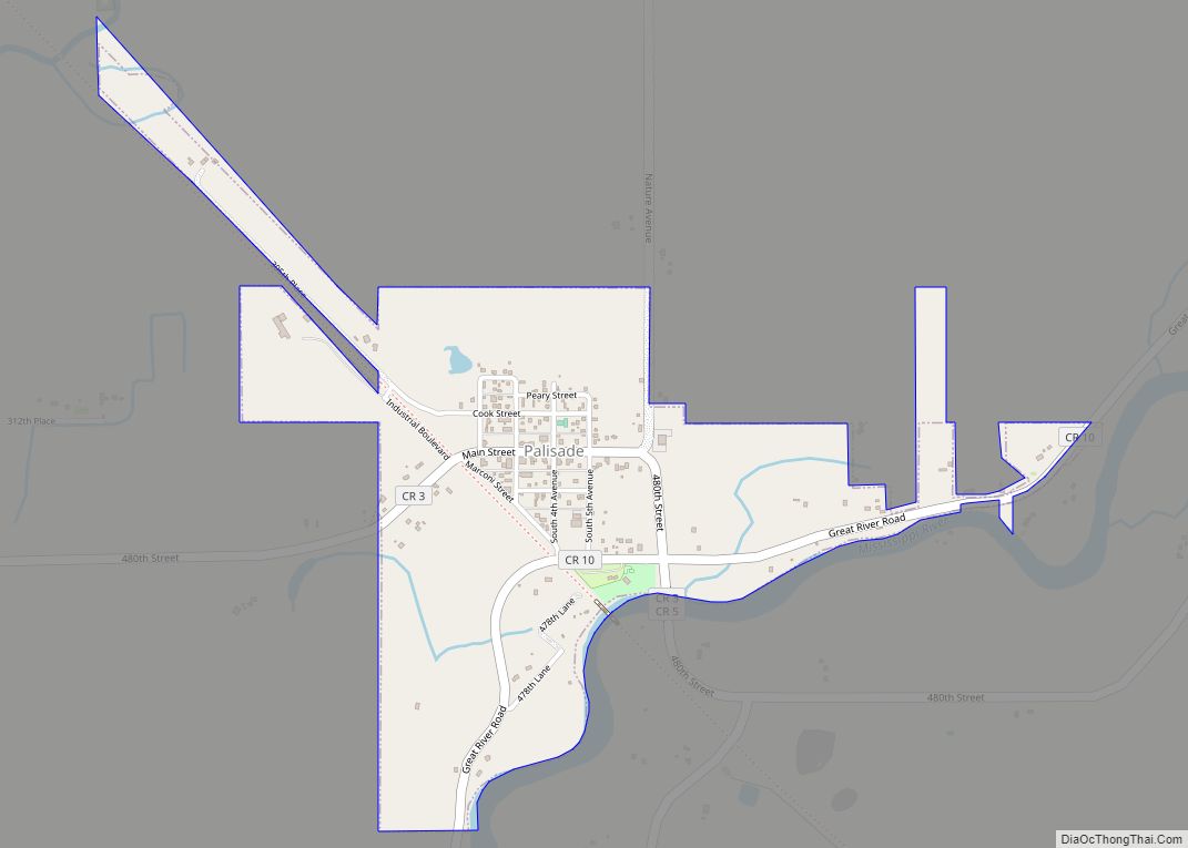
Online Interactive Map
Click on ![]() to view map in "full screen" mode.
to view map in "full screen" mode.
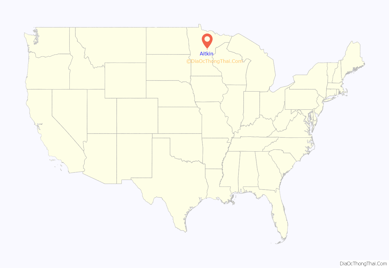
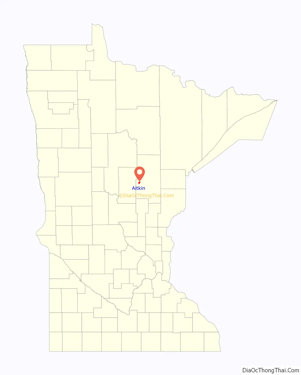
Aitkin location map. Where is Aitkin city?
History
Before the establishment of City of Aitkin, a transient community of Lexington was located at the mouth of the Ripple River, at its confluence with the Mississippi River. However, maps from the 1860s erroneously depict the village of Ojibway (or Ogibeway) at the mouth of the Ripple River. (Today the town here is known as Riverton.)
Due to the importance of regional trade at Lexington, the route of the Northern Pacific Railroad was planned to pass near there. Aitkin was founded in 1870 when the Northern Pacific Railroad was extended to that point, replacing and annexing Lexington. The city and county were named for William Alexander Aitken, a partner of the American Fur Company and chief factor of the company’s regional operations in the early 19th century.
The development of industries attracted people to the town. In the late 19th and early 20th century, a massive wave of immigrants, mostly from present-day Ireland, Germany, and Scandinavian countries, moved into the Aitkin area to work in the logging and riverboat industries. They were able to start working before they had learned much English.
After the Great Depression and World War II, the logging industry declined. The area developed as a farming community, based on production of cattle and poultry, which continued until the late 1970s to early 1980s. A creamery and a turkey plant were important to the town’s economy. With the decline of small family farms in agriculture, many abandoned farms can be seen throughout the county.
By the 1990s, Aitkin had changed again, developing as a community for retirement and tourism, especially with its lake areas. The tourism and service industries are central today. Health care, education, human services, and non-profit organizations are some of the major contributors to the modern-day Aitkin economy, along with the hospitality industry.
Aitkin has been affected by occasional flooding of the Mississippi River. Major notable floods had reached past 20 feet (6 m), such as the 1950 flood, and nearly 19 feet (6 m), such as the summer flooding in 2012. The 2012 flood was one of the first floods that overflowed into the lake areas, flooding the cabins, since it was caused by heavy rainfall instead of melting snow.
Five properties in Aitkin are listed on the National Register of Historic Places: the 1901 Patrick Casey House, the 1902 Potter/Casey Company Building, the 1911 Aitkin Carnegie Library, the 1916 Northern Pacific Depot, and the Aitkin County Courthouse and Jail (built in 1920 and 1915, respectively).
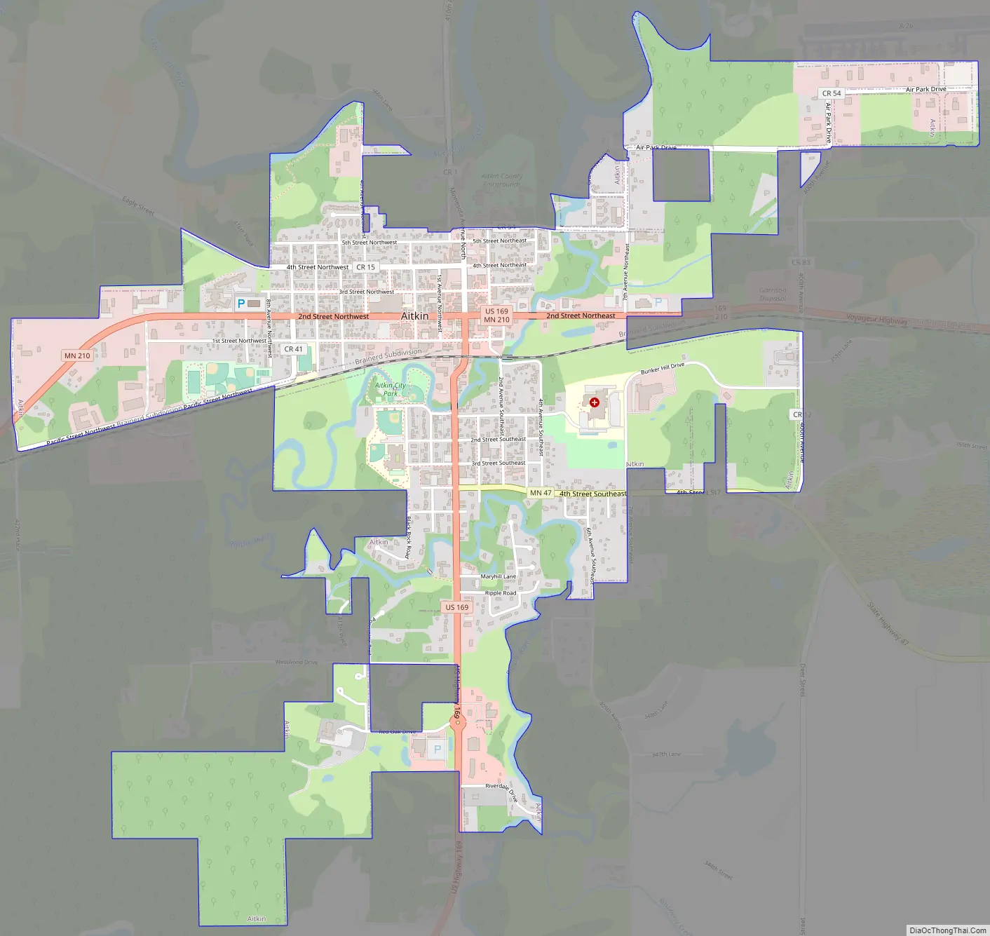
Aitkin Road Map
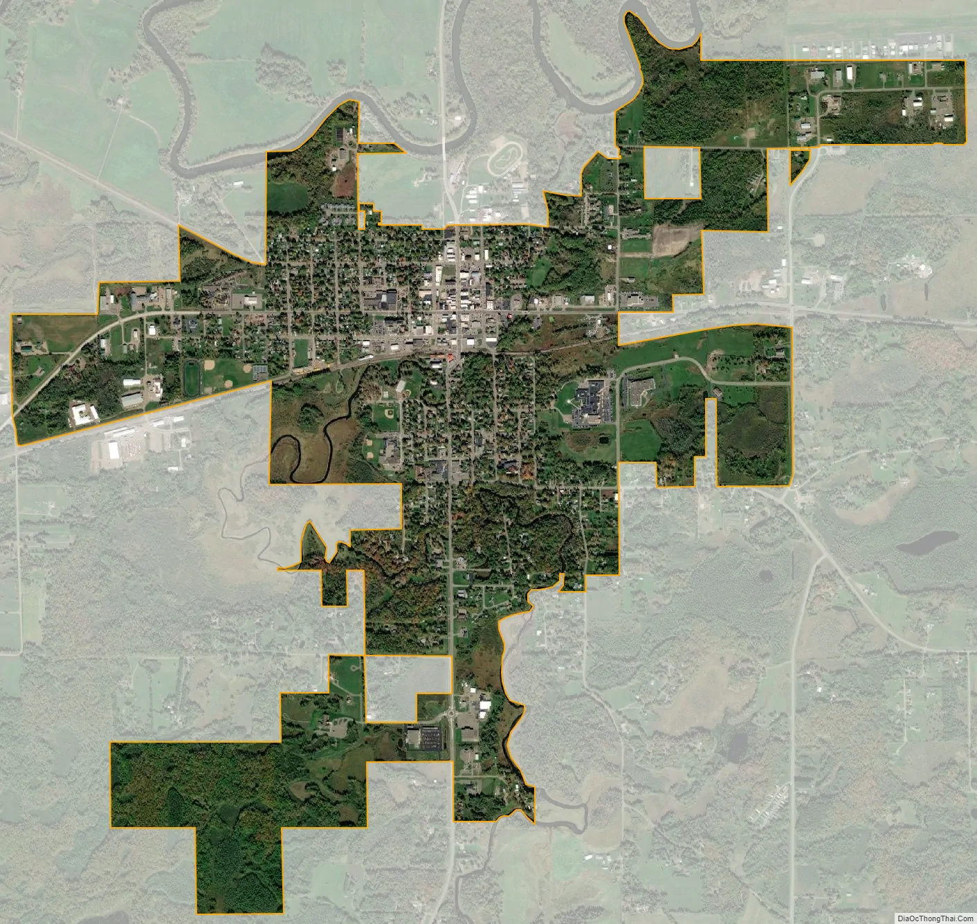
Aitkin city Satellite Map
Geography
According to the United States Census Bureau, the city has a total area of 2.20 square miles (5.70 km), all land.
The Mississippi River flows through the northern edge of Aitkin. The Ripple River and Sissabagamah Creek both flow nearby.
Climate
See also
Map of Minnesota State and its subdivision:- Aitkin
- Anoka
- Becker
- Beltrami
- Benton
- Big Stone
- Blue Earth
- Brown
- Carlton
- Carver
- Cass
- Chippewa
- Chisago
- Clay
- Clearwater
- Cook
- Cottonwood
- Crow Wing
- Dakota
- Dodge
- Douglas
- Faribault
- Fillmore
- Freeborn
- Goodhue
- Grant
- Hennepin
- Houston
- Hubbard
- Isanti
- Itasca
- Jackson
- Kanabec
- Kandiyohi
- Kittson
- Koochiching
- Lac qui Parle
- Lake
- Lake of the Woods
- Lake Superior
- Le Sueur
- Lincoln
- Lyon
- Mahnomen
- Marshall
- Martin
- McLeod
- Meeker
- Mille Lacs
- Morrison
- Mower
- Murray
- Nicollet
- Nobles
- Norman
- Olmsted
- Otter Tail
- Pennington
- Pine
- Pipestone
- Polk
- Pope
- Ramsey
- Red Lake
- Redwood
- Renville
- Rice
- Rock
- Roseau
- Saint Louis
- Scott
- Sherburne
- Sibley
- Stearns
- Steele
- Stevens
- Swift
- Todd
- Traverse
- Wabasha
- Wadena
- Waseca
- Washington
- Watonwan
- Wilkin
- Winona
- Wright
- Yellow Medicine
- Alabama
- Alaska
- Arizona
- Arkansas
- California
- Colorado
- Connecticut
- Delaware
- District of Columbia
- Florida
- Georgia
- Hawaii
- Idaho
- Illinois
- Indiana
- Iowa
- Kansas
- Kentucky
- Louisiana
- Maine
- Maryland
- Massachusetts
- Michigan
- Minnesota
- Mississippi
- Missouri
- Montana
- Nebraska
- Nevada
- New Hampshire
- New Jersey
- New Mexico
- New York
- North Carolina
- North Dakota
- Ohio
- Oklahoma
- Oregon
- Pennsylvania
- Rhode Island
- South Carolina
- South Dakota
- Tennessee
- Texas
- Utah
- Vermont
- Virginia
- Washington
- West Virginia
- Wisconsin
- Wyoming