Alexandria is a city in and the county seat of Douglas County, Minnesota, United States. First settled in 1858, it was named after brothers Alexander and William Kinkead from Maryland. The form of the name alludes to Alexandria, Egypt, a center of learning and civilization.
The village of Alexandria was incorporated February 20, 1877. Its city charter was adopted in 1908, and it was incorporated as a city in 1909. W. E. Hicks was pivotal to the town’s early development. He purchased the townsite in 1868 and established a mill, hotel, newspaper, and store. He donated property for a courthouse, jail, and two churches: Methodist and Congregational.
The population was 14,335 as of the 2020 census. Alexandria is near I-94, along Minnesota State Highways 27 and 29. It is ten miles south of Lake Carlos State Park. In 2013, Alexandria was named a “Top 10 Best Small Town” by the Livability website. The city is often abbreviated as “Alex” (sometimes pronounced “Alec”).
| Name: | Alexandria city |
|---|---|
| LSAD Code: | 25 |
| LSAD Description: | city (suffix) |
| State: | Minnesota |
| County: | Douglas County |
| Founded: | 1859 |
| Elevation: | 1,408 ft (429 m) |
| Land Area: | 17.18 sq mi (44.50 km²) |
| Water Area: | 0.71 sq mi (1.85 km²) 4.43% |
| Population Density: | 834.25/sq mi (322.10/km²) |
| ZIP code: | 56308 |
| Area code: | 320 |
| FIPS code: | 2700928 |
| GNISfeature ID: | 0639272 |
| Website: | ci.alexandria.mn.us |
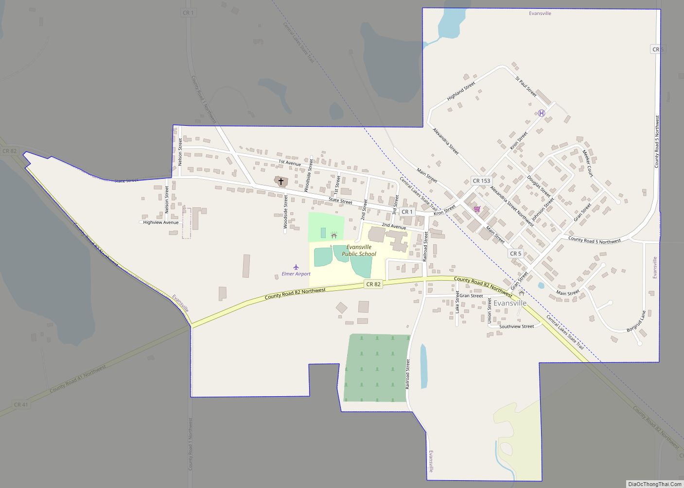
Online Interactive Map
Click on ![]() to view map in "full screen" mode.
to view map in "full screen" mode.
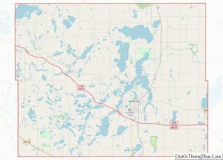
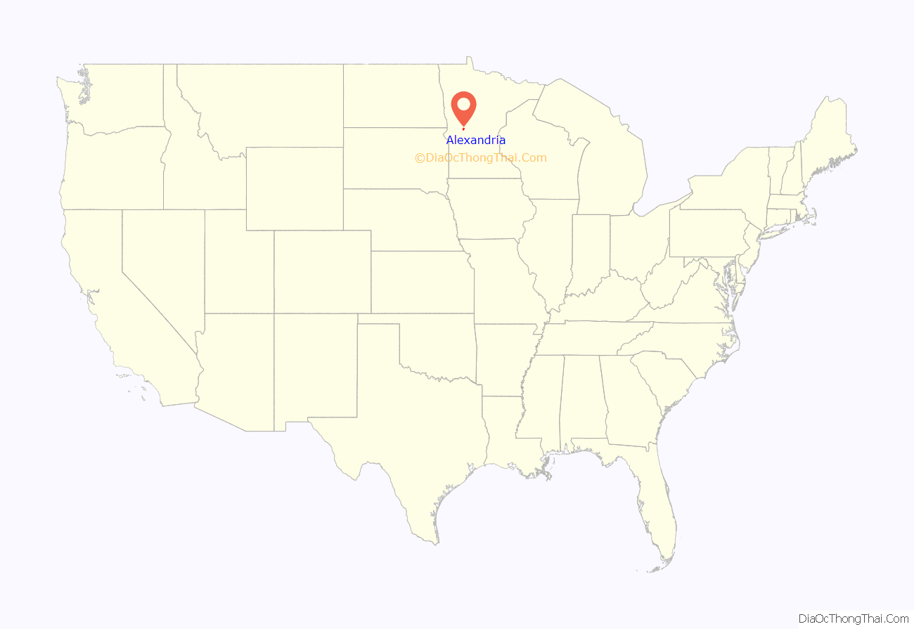
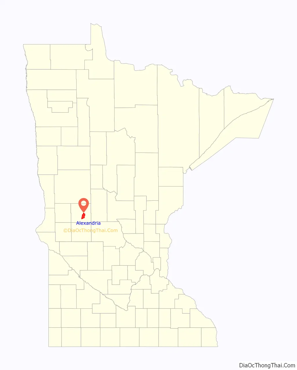
Alexandria location map. Where is Alexandria city?
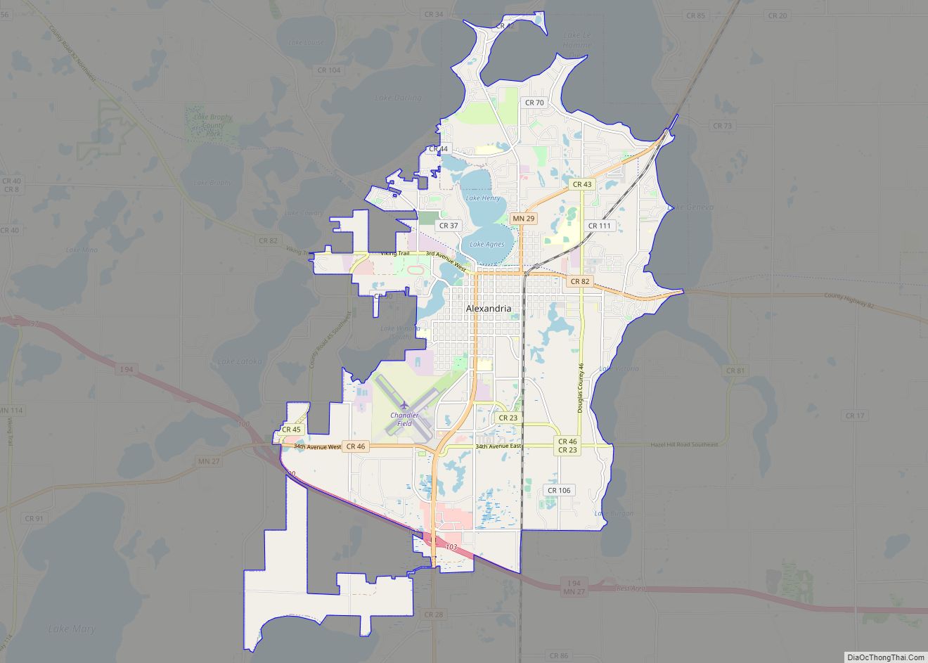
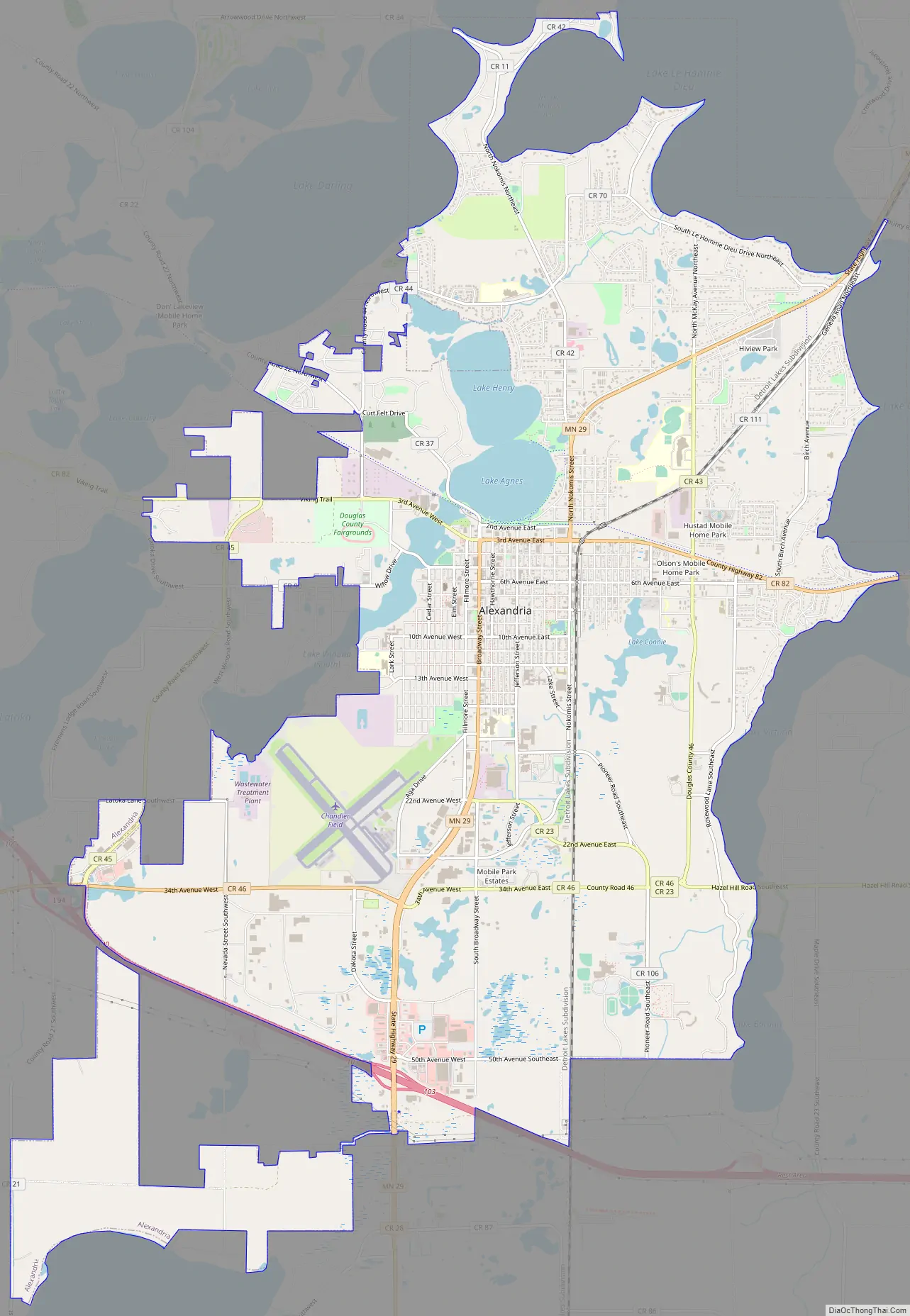
Alexandria Road Map
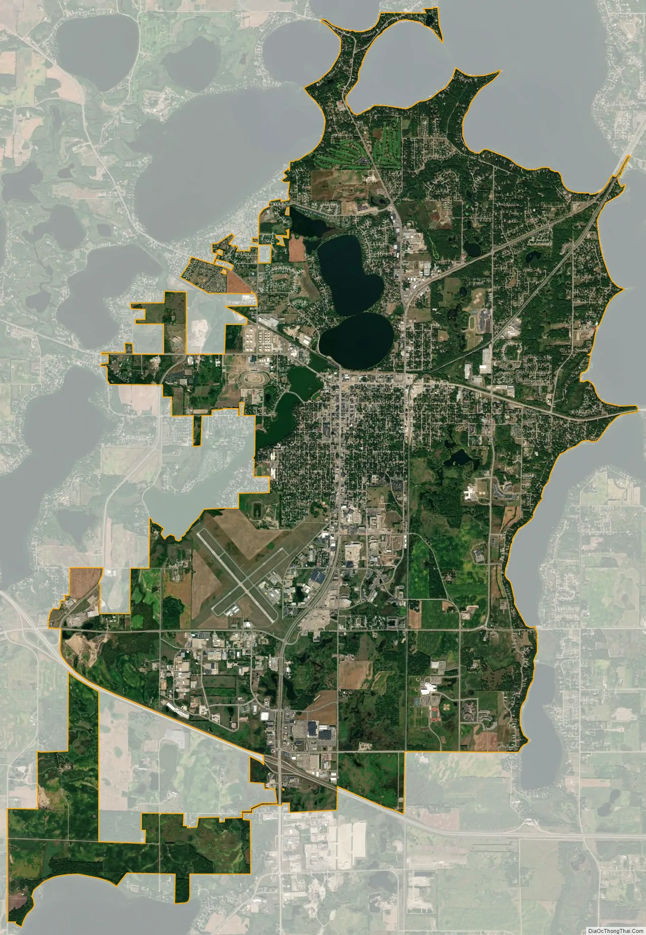
Alexandria city Satellite Map
Geography
According to the United States Census Bureau, the city has an area of 16.70 square miles (43.25 km), of which 15.96 square miles (41.34 km) is land and 0.74 square miles (1.92 km) is water. Many of the people who live in Alexandria are not calculated into the population because they are spread out of the city and live on and around the many lakes.
Climate
Alexandria has a dry winter humid continental climate (Köppen Dwb), with cold, snowy winters and warm (sometimes hot and humid) summers. The autumn and spring are generally pleasant. Average annual precipitation (both snow and rain) is about 25 inches.
See also
Map of Minnesota State and its subdivision:- Aitkin
- Anoka
- Becker
- Beltrami
- Benton
- Big Stone
- Blue Earth
- Brown
- Carlton
- Carver
- Cass
- Chippewa
- Chisago
- Clay
- Clearwater
- Cook
- Cottonwood
- Crow Wing
- Dakota
- Dodge
- Douglas
- Faribault
- Fillmore
- Freeborn
- Goodhue
- Grant
- Hennepin
- Houston
- Hubbard
- Isanti
- Itasca
- Jackson
- Kanabec
- Kandiyohi
- Kittson
- Koochiching
- Lac qui Parle
- Lake
- Lake of the Woods
- Lake Superior
- Le Sueur
- Lincoln
- Lyon
- Mahnomen
- Marshall
- Martin
- McLeod
- Meeker
- Mille Lacs
- Morrison
- Mower
- Murray
- Nicollet
- Nobles
- Norman
- Olmsted
- Otter Tail
- Pennington
- Pine
- Pipestone
- Polk
- Pope
- Ramsey
- Red Lake
- Redwood
- Renville
- Rice
- Rock
- Roseau
- Saint Louis
- Scott
- Sherburne
- Sibley
- Stearns
- Steele
- Stevens
- Swift
- Todd
- Traverse
- Wabasha
- Wadena
- Waseca
- Washington
- Watonwan
- Wilkin
- Winona
- Wright
- Yellow Medicine
- Alabama
- Alaska
- Arizona
- Arkansas
- California
- Colorado
- Connecticut
- Delaware
- District of Columbia
- Florida
- Georgia
- Hawaii
- Idaho
- Illinois
- Indiana
- Iowa
- Kansas
- Kentucky
- Louisiana
- Maine
- Maryland
- Massachusetts
- Michigan
- Minnesota
- Mississippi
- Missouri
- Montana
- Nebraska
- Nevada
- New Hampshire
- New Jersey
- New Mexico
- New York
- North Carolina
- North Dakota
- Ohio
- Oklahoma
- Oregon
- Pennsylvania
- Rhode Island
- South Carolina
- South Dakota
- Tennessee
- Texas
- Utah
- Vermont
- Virginia
- Washington
- West Virginia
- Wisconsin
- Wyoming