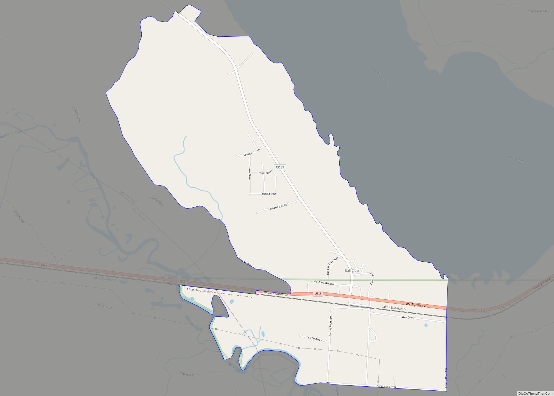
Ball Club is an unincorporated community and census-designated place (CDP) in Itasca County, Minnesota, United States; located within the Leech Lake Indian Reservation. As of the 2010 census, its population was 342. Ball Club is located between Zemple and Bena.
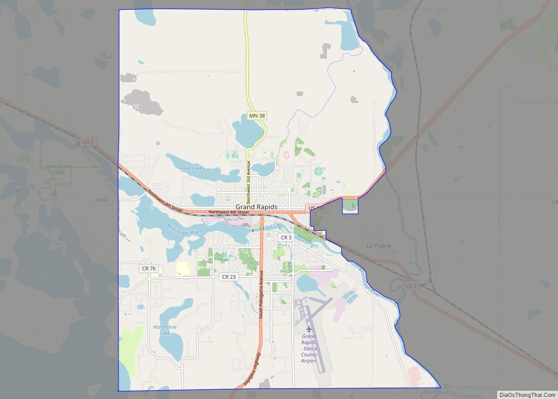
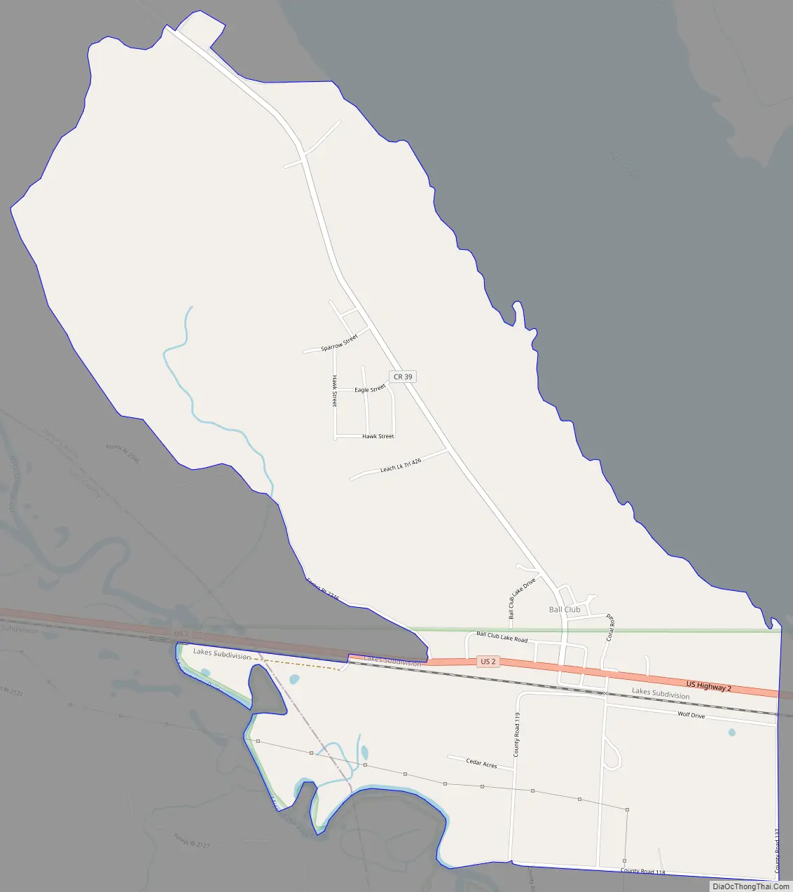
The center of Ball Club is generally considered at the junction of U.S. Highway 2 and Itasca County Road 39. Ball Club is located 21 miles west of Grand Rapids.
Ball Club received its name from a type of Native American lacrosse stick. The majority of the community is populated by Native Americans of the Leech Lake Band of Ojibwe.
Ball Club’s small economy includes a general store and gas station. The community also includes two churches, a clinic, a Headstart office, a community center, a water tower, and a Cordell.
The Mississippi River surrounds Ball Club on both the East and West side of the community. The boundary line between Itasca and Cass counties is in the vicinity.
Rosanna Catherine Payne served as the postmistress for Ball Club; Payne served in the Minnesota House of Representatives from 1927 to 1932.
| Name: | Ball Club CDP |
|---|---|
| LSAD Code: | 57 |
| LSAD Description: | CDP (suffix) |
| State: | Minnesota |
| County: | Itasca County |
| Elevation: | 1,302 ft (397 m) |
| Total Area: | 2.76 sq mi (7.16 km²) |
| Land Area: | 2.76 sq mi (7.16 km²) |
| Water Area: | 0.00 sq mi (0.00 km²) |
| Total Population: | 354 |
| Population Density: | 128.08/sq mi (49.45/km²) |
| Area code: | 218 |
| FIPS code: | 2703376 |
| GNISfeature ID: | 655201 |
Online Interactive Map
Click on ![]() to view map in "full screen" mode.
to view map in "full screen" mode.
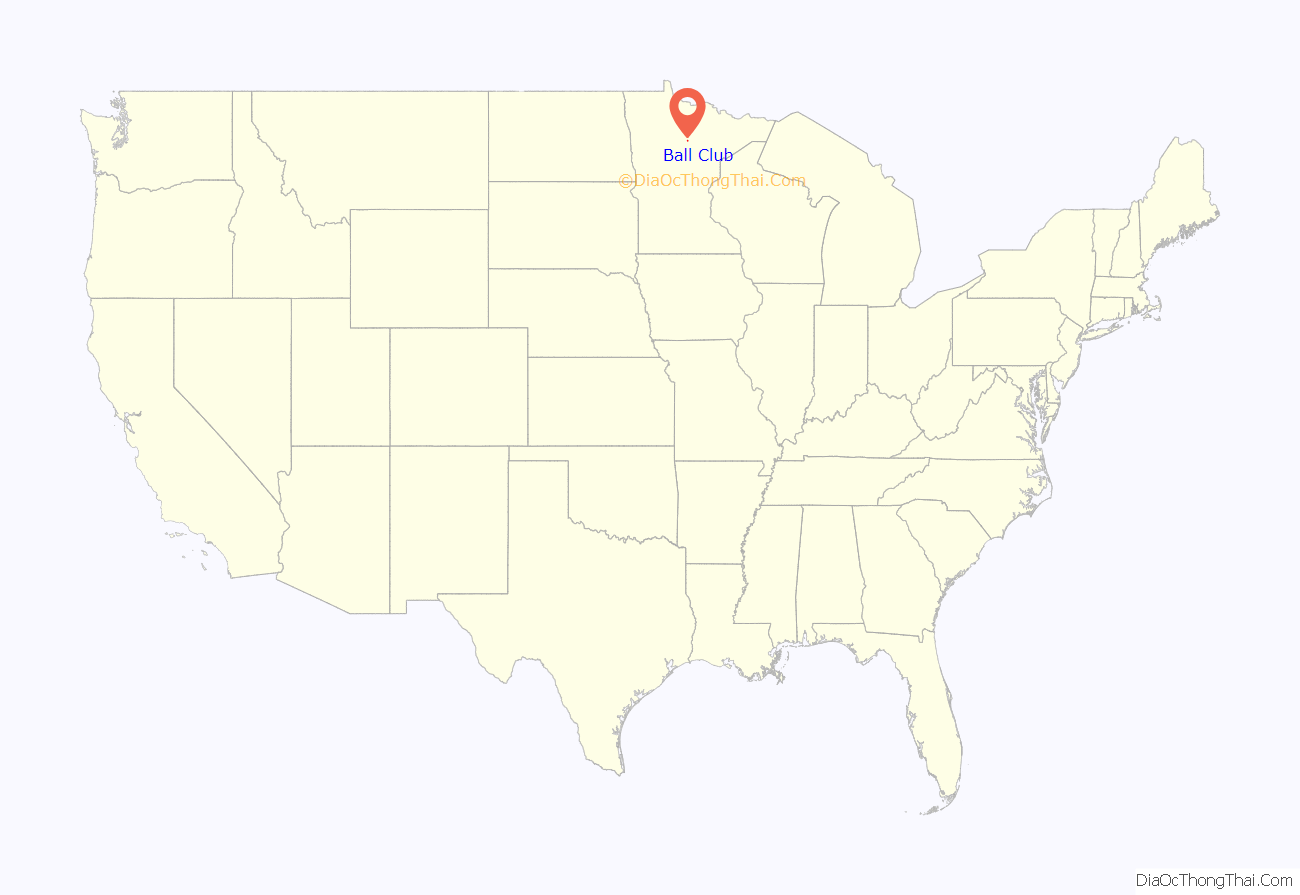
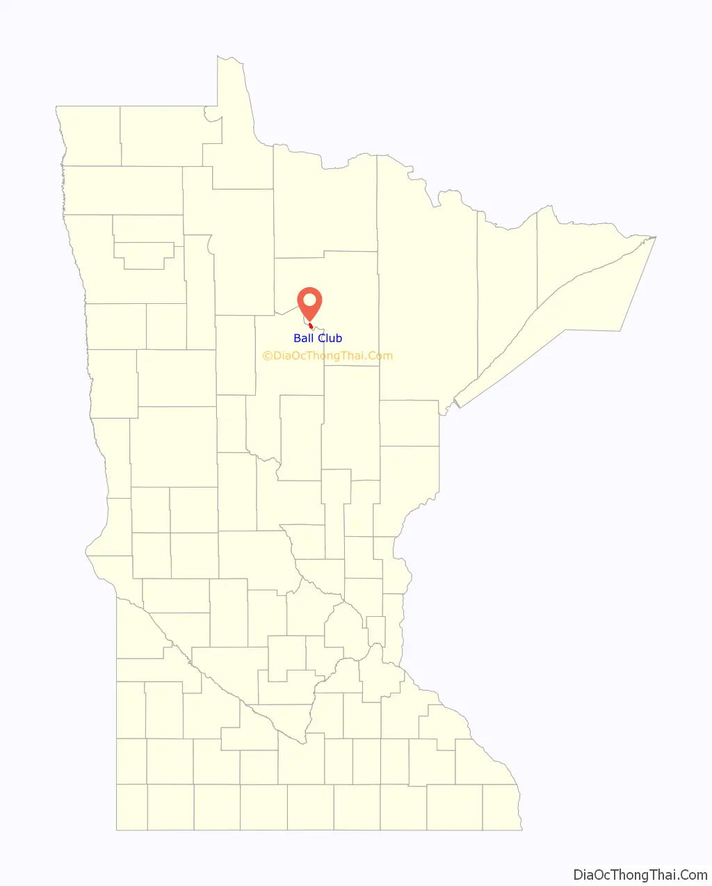
Ball Club location map. Where is Ball Club CDP?
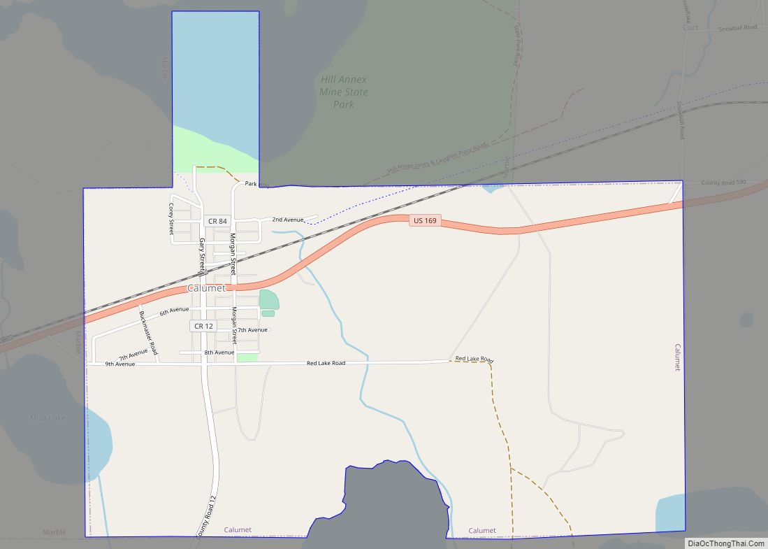
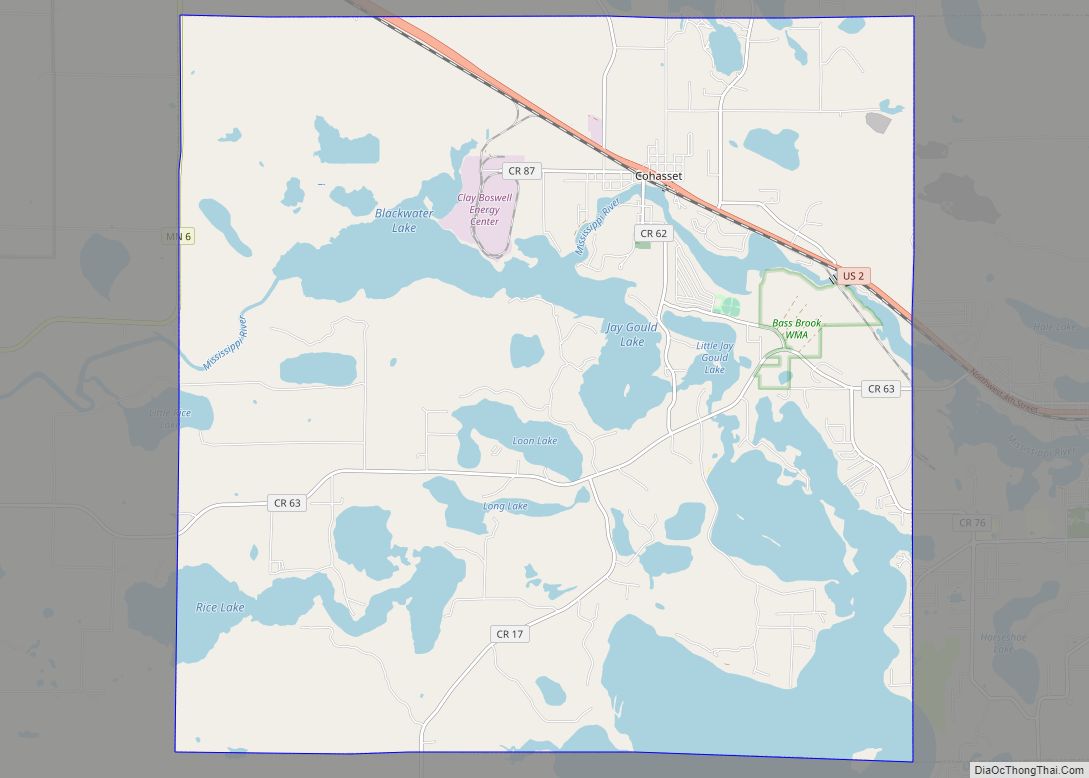
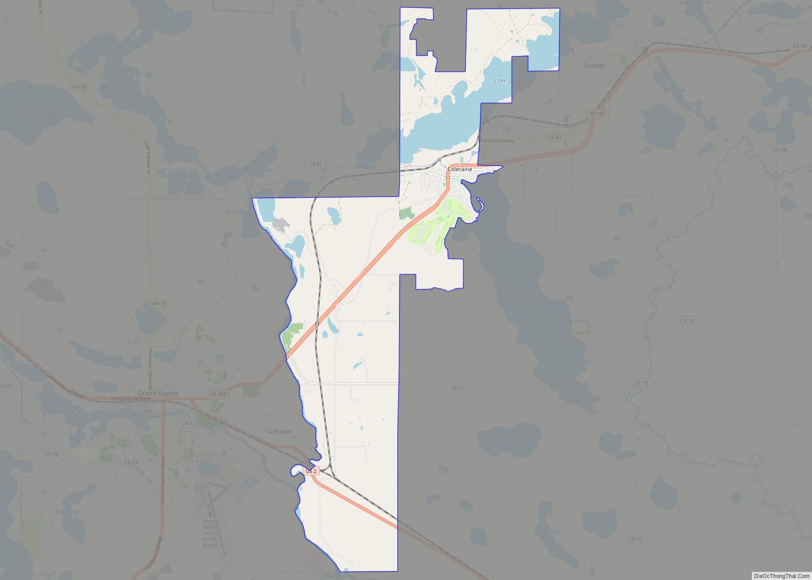
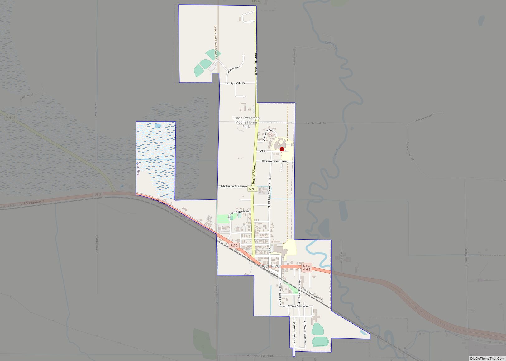
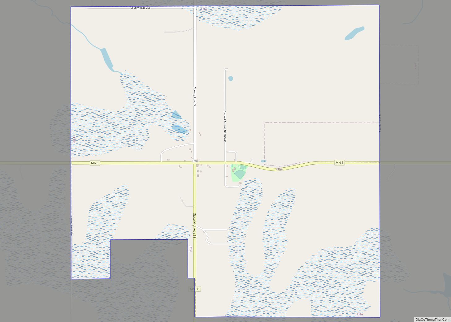
Ball Club Road Map
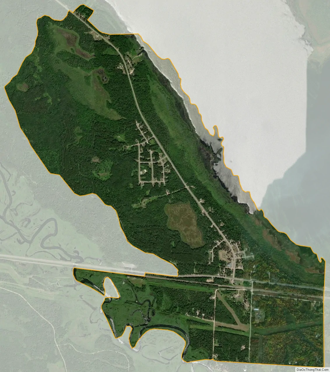
Ball Club city Satellite Map
See also
Map of Minnesota State and its subdivision:- Aitkin
- Anoka
- Becker
- Beltrami
- Benton
- Big Stone
- Blue Earth
- Brown
- Carlton
- Carver
- Cass
- Chippewa
- Chisago
- Clay
- Clearwater
- Cook
- Cottonwood
- Crow Wing
- Dakota
- Dodge
- Douglas
- Faribault
- Fillmore
- Freeborn
- Goodhue
- Grant
- Hennepin
- Houston
- Hubbard
- Isanti
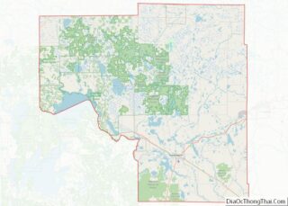
- Itasca
- Jackson
- Kanabec
- Kandiyohi
- Kittson
- Koochiching
- Lac qui Parle
- Lake
- Lake of the Woods
- Lake Superior
- Le Sueur
- Lincoln
- Lyon
- Mahnomen
- Marshall
- Martin
- McLeod
- Meeker
- Mille Lacs
- Morrison
- Mower
- Murray
- Nicollet
- Nobles
- Norman
- Olmsted
- Otter Tail
- Pennington
- Pine
- Pipestone
- Polk
- Pope
- Ramsey
- Red Lake
- Redwood
- Renville
- Rice
- Rock
- Roseau
- Saint Louis
- Scott
- Sherburne
- Sibley
- Stearns
- Steele
- Stevens
- Swift
- Todd
- Traverse
- Wabasha
- Wadena
- Waseca
- Washington
- Watonwan
- Wilkin
- Winona
- Wright
- Yellow Medicine
- Alabama
- Alaska
- Arizona
- Arkansas
- California
- Colorado
- Connecticut
- Delaware
- District of Columbia
- Florida
- Georgia
- Hawaii
- Idaho
- Illinois
- Indiana
- Iowa
- Kansas
- Kentucky
- Louisiana
- Maine
- Maryland
- Massachusetts
- Michigan
- Minnesota
- Mississippi
- Missouri
- Montana
- Nebraska
- Nevada
- New Hampshire
- New Jersey
- New Mexico
- New York
- North Carolina
- North Dakota
- Ohio
- Oklahoma
- Oregon
- Pennsylvania
- Rhode Island
- South Carolina
- South Dakota
- Tennessee
- Texas
- Utah
- Vermont
- Virginia
- Washington
- West Virginia
- Wisconsin
- Wyoming