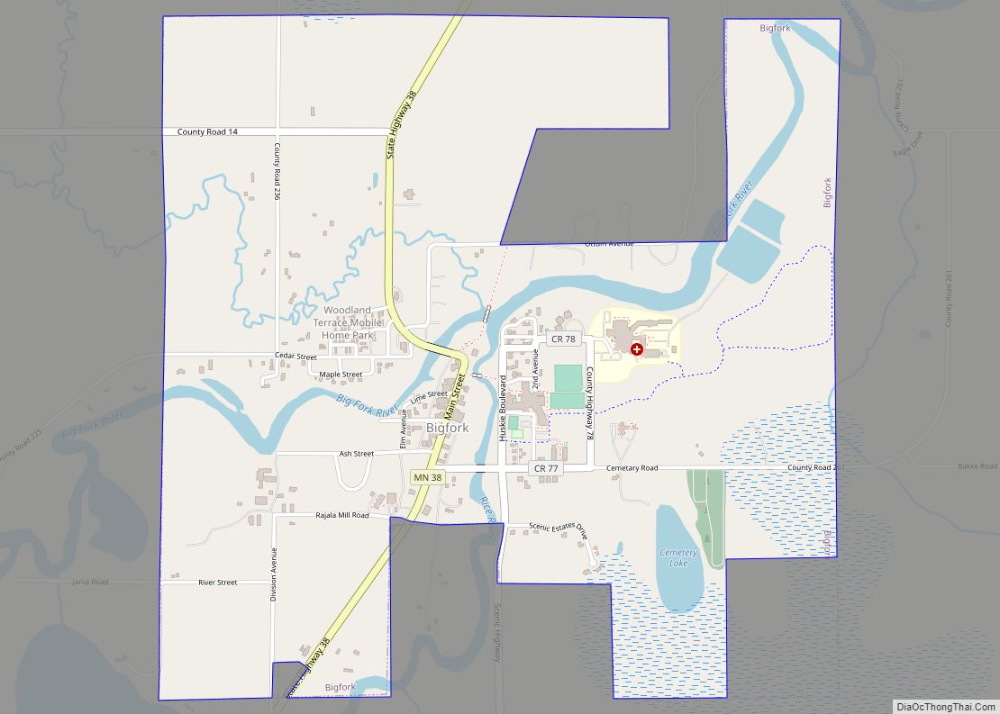
Bigfork is a city in Itasca County, Minnesota, United States. The population was 446 at the 2010 census. Scenic State Park is nearby.
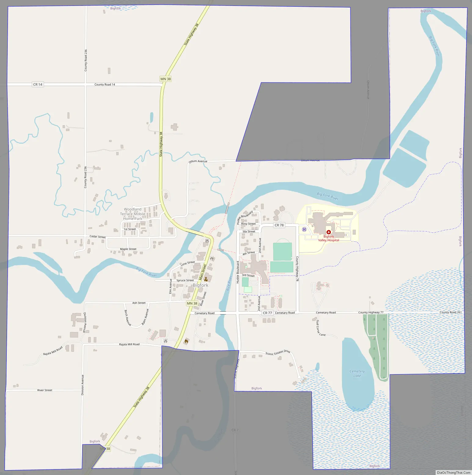
Minnesota State Highway 38 serves as a main route in the community. State Highways 1 and 6 are nearby.
| Name: | Bigfork city |
|---|---|
| LSAD Code: | 25 |
| LSAD Description: | city (suffix) |
| State: | Minnesota |
| County: | Itasca County |
| Elevation: | 1,309 ft (399 m) |
| Total Area: | 1.89 sq mi (4.90 km²) |
| Land Area: | 1.86 sq mi (4.81 km²) |
| Water Area: | 0.03 sq mi (0.09 km²) |
| Total Population: | 400 |
| Population Density: | 215.17/sq mi (83.09/km²) |
| ZIP code: | 56628, 56639 |
| Area code: | 218 |
| FIPS code: | 2705698 |
| GNISfeature ID: | 0655384 |
| Website: | www.cityofbigfork.com |
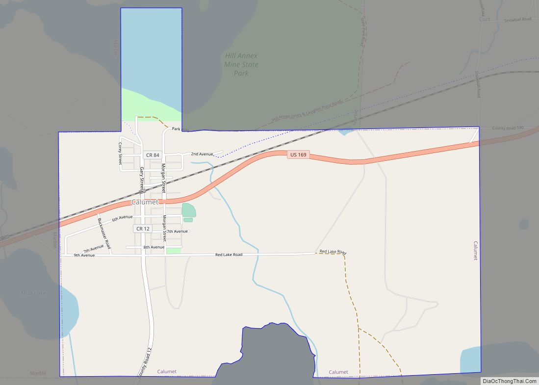
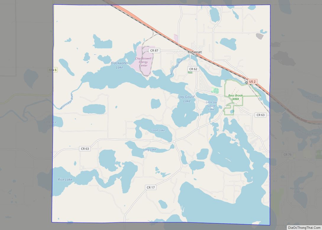
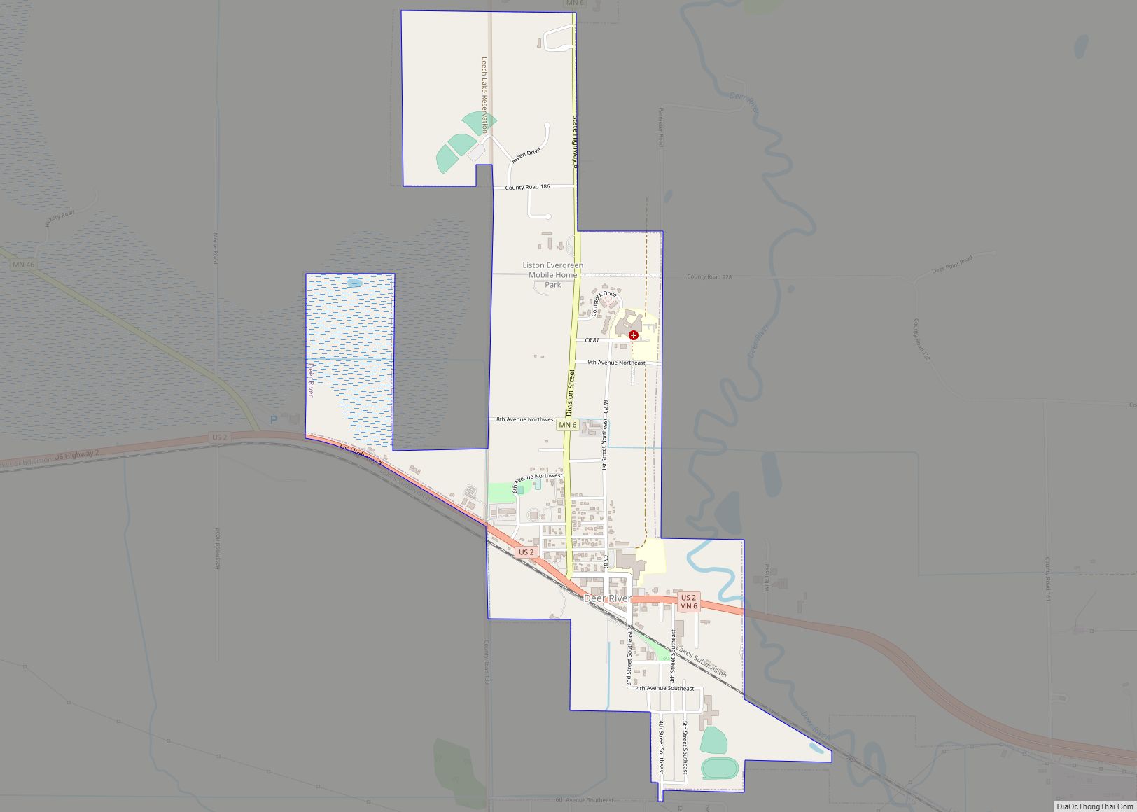
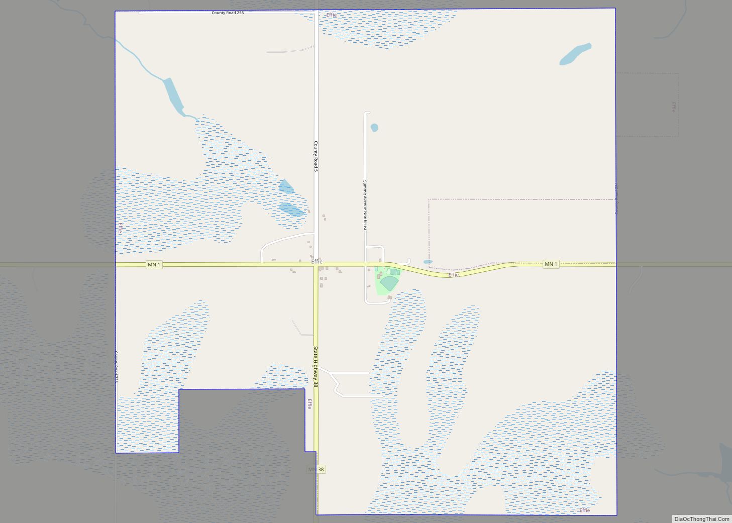
Online Interactive Map
Click on ![]() to view map in "full screen" mode.
to view map in "full screen" mode.
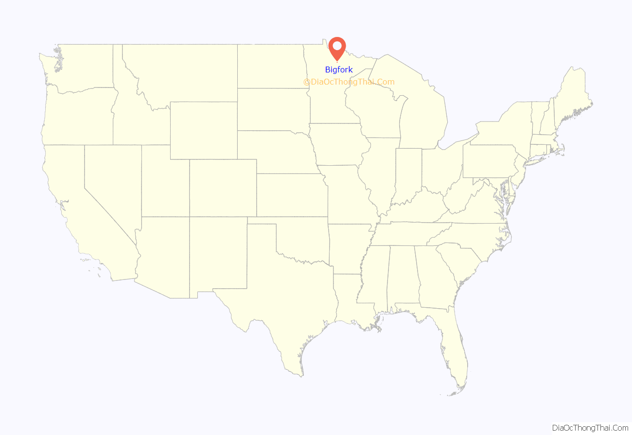
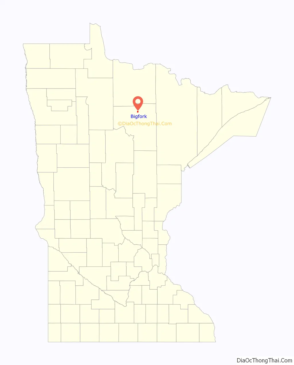
Bigfork location map. Where is Bigfork city?
History
Bigfork originally began as a settlement when Damase “Uncle Tom” Neveaux built a log cabin on the Big Fork River, claiming the stand of pine there, and began logging activities. Though Neveaux reached the area in 1887, and the settlement began in 1892, officially, he was a squatter until the land was opened for settlement in 1900.
By 1902, a post office was established, and in 1906, a station was added to the Minneapolis and Rainy River Railway.
On January 17, 1907, less than a year after the railway stop was completed, Bigfork was incorporated as a village. Bigfork Village Hall, built in 1936 with WPA funds, is listed on the National Register of Historic Places.
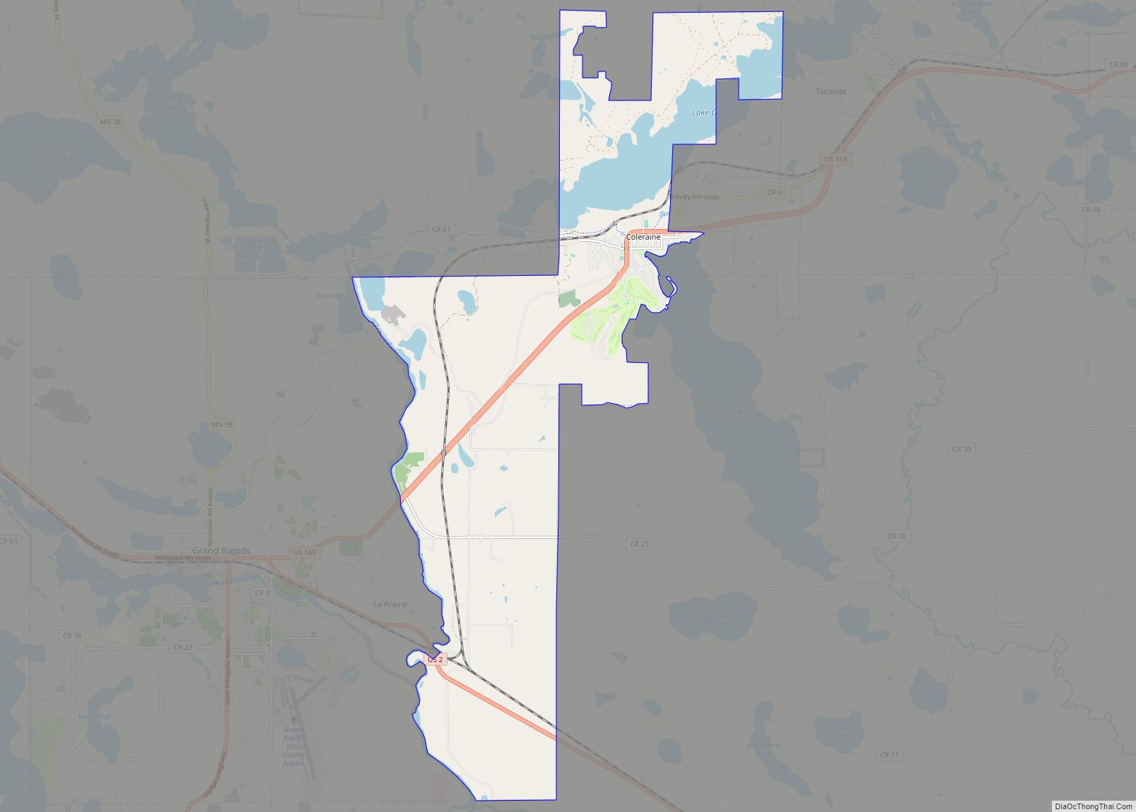
Bigfork Road Map
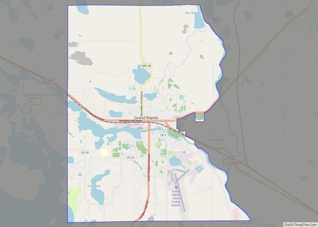
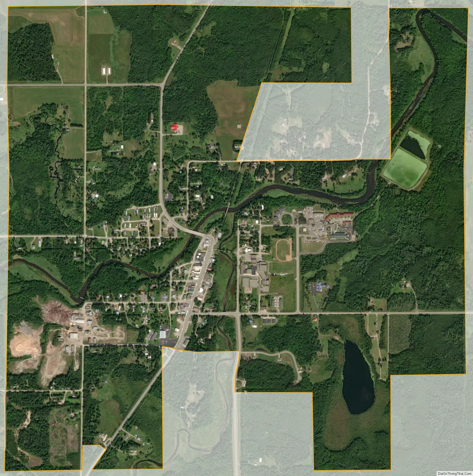
Bigfork city Satellite Map
Geography
According to the United States Census Bureau, the city has a total area of 1.80 square miles (4.66 km), of which 1.77 square miles (4.58 km) is land and 0.03 square miles (0.08 km) is water.
See also
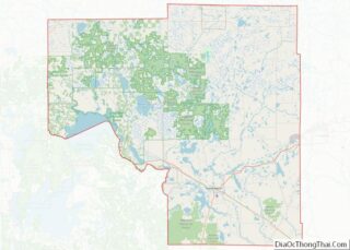
Map of Minnesota State and its subdivision:- Aitkin
- Anoka
- Becker
- Beltrami
- Benton
- Big Stone
- Blue Earth
- Brown
- Carlton
- Carver
- Cass
- Chippewa
- Chisago
- Clay
- Clearwater
- Cook
- Cottonwood
- Crow Wing
- Dakota
- Dodge
- Douglas
- Faribault
- Fillmore
- Freeborn
- Goodhue
- Grant
- Hennepin
- Houston
- Hubbard
- Isanti
- Itasca
- Jackson
- Kanabec
- Kandiyohi
- Kittson
- Koochiching
- Lac qui Parle
- Lake
- Lake of the Woods
- Lake Superior
- Le Sueur
- Lincoln
- Lyon
- Mahnomen
- Marshall
- Martin
- McLeod
- Meeker
- Mille Lacs
- Morrison
- Mower
- Murray
- Nicollet
- Nobles
- Norman
- Olmsted
- Otter Tail
- Pennington
- Pine
- Pipestone
- Polk
- Pope
- Ramsey
- Red Lake
- Redwood
- Renville
- Rice
- Rock
- Roseau
- Saint Louis
- Scott
- Sherburne
- Sibley
- Stearns
- Steele
- Stevens
- Swift
- Todd
- Traverse
- Wabasha
- Wadena
- Waseca
- Washington
- Watonwan
- Wilkin
- Winona
- Wright
- Yellow Medicine
- Alabama
- Alaska
- Arizona
- Arkansas
- California
- Colorado
- Connecticut
- Delaware
- District of Columbia
- Florida
- Georgia
- Hawaii
- Idaho
- Illinois
- Indiana
- Iowa
- Kansas
- Kentucky
- Louisiana
- Maine
- Maryland
- Massachusetts
- Michigan
- Minnesota
- Mississippi
- Missouri
- Montana
- Nebraska
- Nevada
- New Hampshire
- New Jersey
- New Mexico
- New York
- North Carolina
- North Dakota
- Ohio
- Oklahoma
- Oregon
- Pennsylvania
- Rhode Island
- South Carolina
- South Dakota
- Tennessee
- Texas
- Utah
- Vermont
- Virginia
- Washington
- West Virginia
- Wisconsin
- Wyoming