Birchwood Village is a city in Washington County, Minnesota, United States. The population was 863 at the 2020 census.
| Name: | Birchwood Village city |
|---|---|
| LSAD Code: | 25 |
| LSAD Description: | city (suffix) |
| State: | Minnesota |
| County: | Washington County |
| Elevation: | 988 ft (301 m) |
| Total Area: | 0.34 sq mi (0.89 km²) |
| Land Area: | 0.33 sq mi (0.86 km²) |
| Water Area: | 0.01 sq mi (0.02 km²) |
| Total Population: | 863 |
| Population Density: | 2,583.83/sq mi (998.56/km²) |
| ZIP code: | 55110 |
| Area code: | 651 |
| FIPS code: | 2706058 |
| GNISfeature ID: | 2394171 |
| Website: | cityofbirchwood.com |
Online Interactive Map
Click on ![]() to view map in "full screen" mode.
to view map in "full screen" mode.
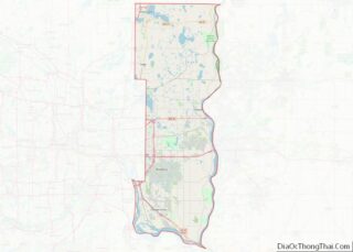
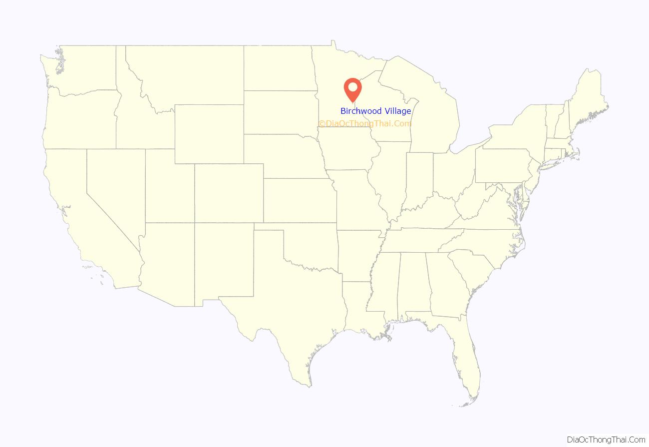
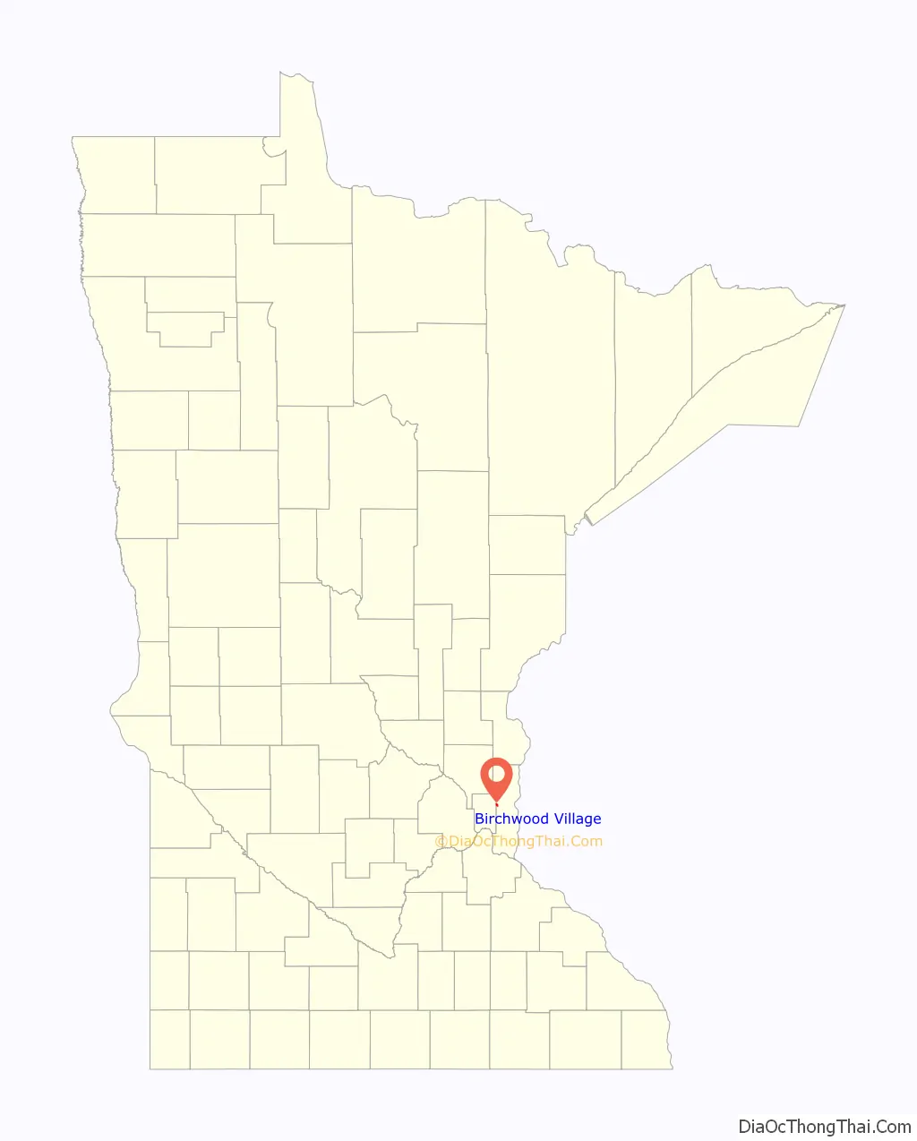
Birchwood Village location map. Where is Birchwood Village city?
History
Birchwood first developed as a community of summer recreation cottages built by residents of the Saint Paul area in early 20th-century. Initial subdivisions were along the lakeshore, and this area is now characterized by a potpourri of old homes that have been extensively remodeled, and new homes where the original structure has been demolished. The newer subdivisions away from the lake have larger lots and are more homogeneous in appearance but have retained the flavor of the village by preserving the natural features of the area.
The community was at one time served by the Twin City Lines street car which passed through the village on its way from Saint Paul to White Bear Lake and Mahtomedi. The significant difference in lot sizes between the older and newer areas of the community reflect the influence of changes in transportation modes.
First incorporated as a village in the year 1921, a subsequent act of the State Legislature converted the “village” to a “City of the Fourth Class.” Residents felt, however, that the term “village” was so much a part of the community that it was amended to “Birchwood Village, a City of the Fourth Class.”
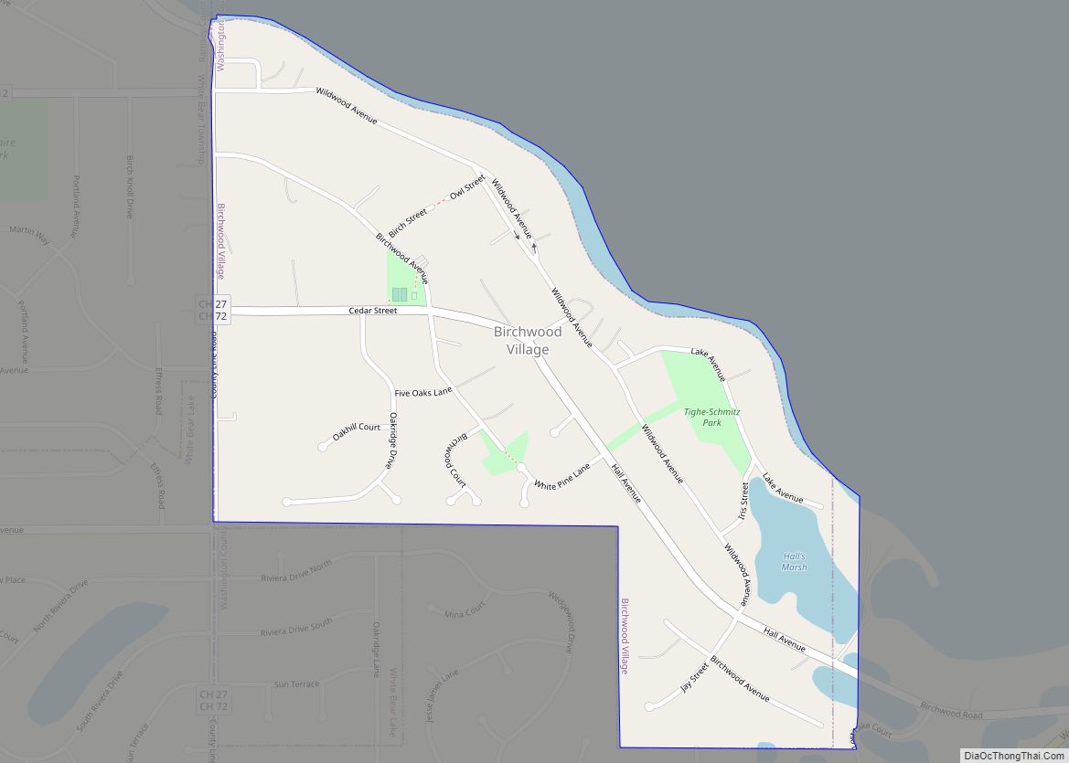
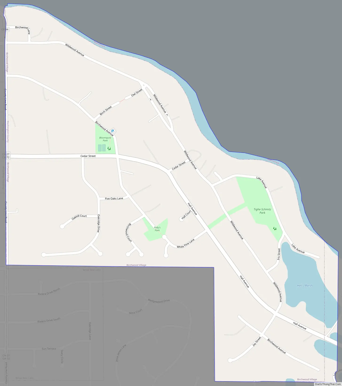
Birchwood Village Road Map
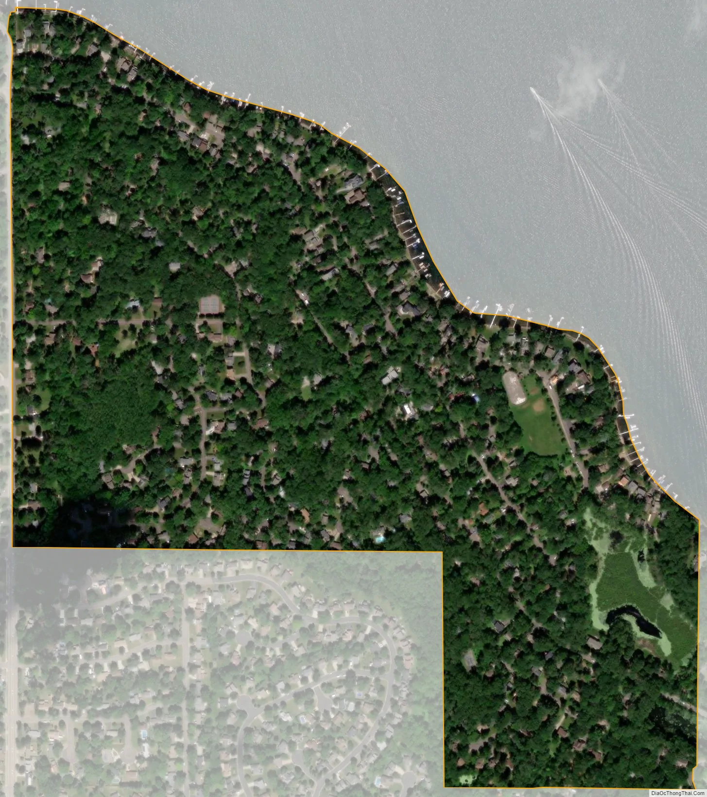
Birchwood Village city Satellite Map
Geography
According to the United States Census Bureau, the city has a total area of 0.34 square miles (0.88 km), all land. Cedar Street / Hall Avenue serves as a main route. The village is on the south and east shore of White Bear Lake.
See also
Map of Minnesota State and its subdivision:- Aitkin
- Anoka
- Becker
- Beltrami
- Benton
- Big Stone
- Blue Earth
- Brown
- Carlton
- Carver
- Cass
- Chippewa
- Chisago
- Clay
- Clearwater
- Cook
- Cottonwood
- Crow Wing
- Dakota
- Dodge
- Douglas
- Faribault
- Fillmore
- Freeborn
- Goodhue
- Grant
- Hennepin
- Houston
- Hubbard
- Isanti
- Itasca
- Jackson
- Kanabec
- Kandiyohi
- Kittson
- Koochiching
- Lac qui Parle
- Lake
- Lake of the Woods
- Lake Superior
- Le Sueur
- Lincoln
- Lyon
- Mahnomen
- Marshall
- Martin
- McLeod
- Meeker
- Mille Lacs
- Morrison
- Mower
- Murray
- Nicollet
- Nobles
- Norman
- Olmsted
- Otter Tail
- Pennington
- Pine
- Pipestone
- Polk
- Pope
- Ramsey
- Red Lake
- Redwood
- Renville
- Rice
- Rock
- Roseau
- Saint Louis
- Scott
- Sherburne
- Sibley
- Stearns
- Steele
- Stevens
- Swift
- Todd
- Traverse
- Wabasha
- Wadena
- Waseca
- Washington
- Watonwan
- Wilkin
- Winona
- Wright
- Yellow Medicine
- Alabama
- Alaska
- Arizona
- Arkansas
- California
- Colorado
- Connecticut
- Delaware
- District of Columbia
- Florida
- Georgia
- Hawaii
- Idaho
- Illinois
- Indiana
- Iowa
- Kansas
- Kentucky
- Louisiana
- Maine
- Maryland
- Massachusetts
- Michigan
- Minnesota
- Mississippi
- Missouri
- Montana
- Nebraska
- Nevada
- New Hampshire
- New Jersey
- New Mexico
- New York
- North Carolina
- North Dakota
- Ohio
- Oklahoma
- Oregon
- Pennsylvania
- Rhode Island
- South Carolina
- South Dakota
- Tennessee
- Texas
- Utah
- Vermont
- Virginia
- Washington
- West Virginia
- Wisconsin
- Wyoming