Bowlus is a city in Morrison County, Minnesota, United States. The population was 279 at the 2020 census.
| Name: | Bowlus city |
|---|---|
| LSAD Code: | 25 |
| LSAD Description: | city (suffix) |
| State: | Minnesota |
| County: | Morrison County |
| Elevation: | 1,109 ft (338 m) |
| Total Area: | 1.28 sq mi (3.31 km²) |
| Land Area: | 1.28 sq mi (3.31 km²) |
| Water Area: | 0.00 sq mi (0.00 km²) |
| Total Population: | 279 |
| Population Density: | 218.14/sq mi (84.25/km²) |
| ZIP code: | 56314 |
| Area code: | 320 |
| FIPS code: | 2707066 |
| GNISfeature ID: | 0640404 |
| Website: | www.bowlusmn.com |
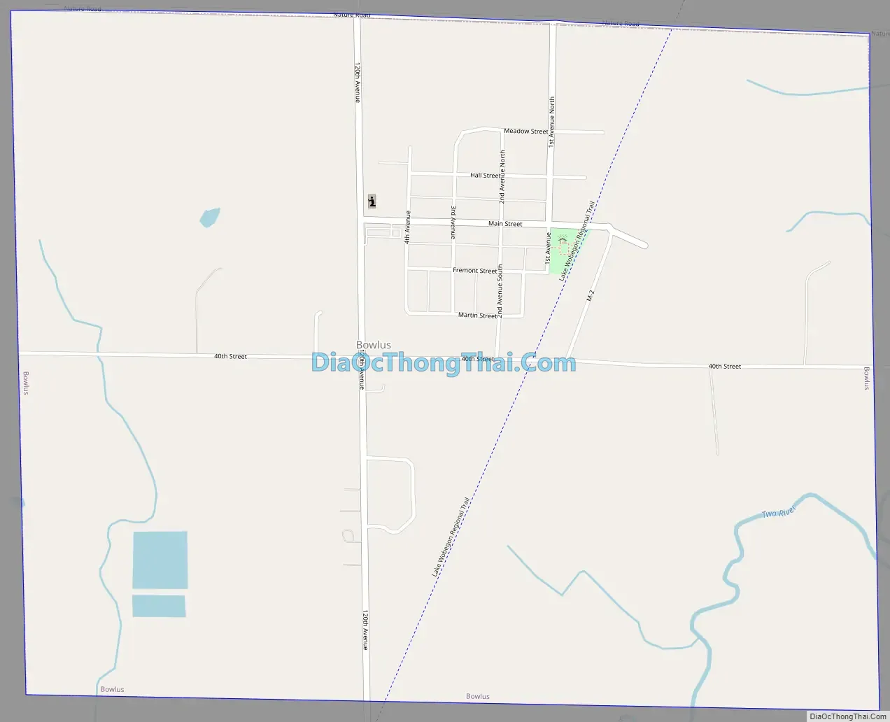
Online Interactive Map
Click on ![]() to view map in "full screen" mode.
to view map in "full screen" mode.
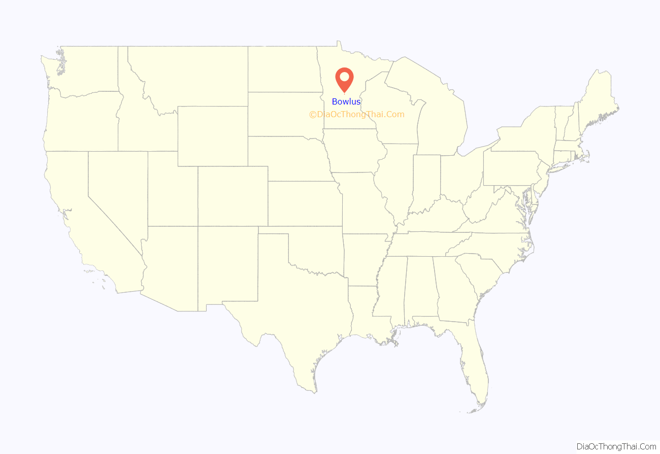
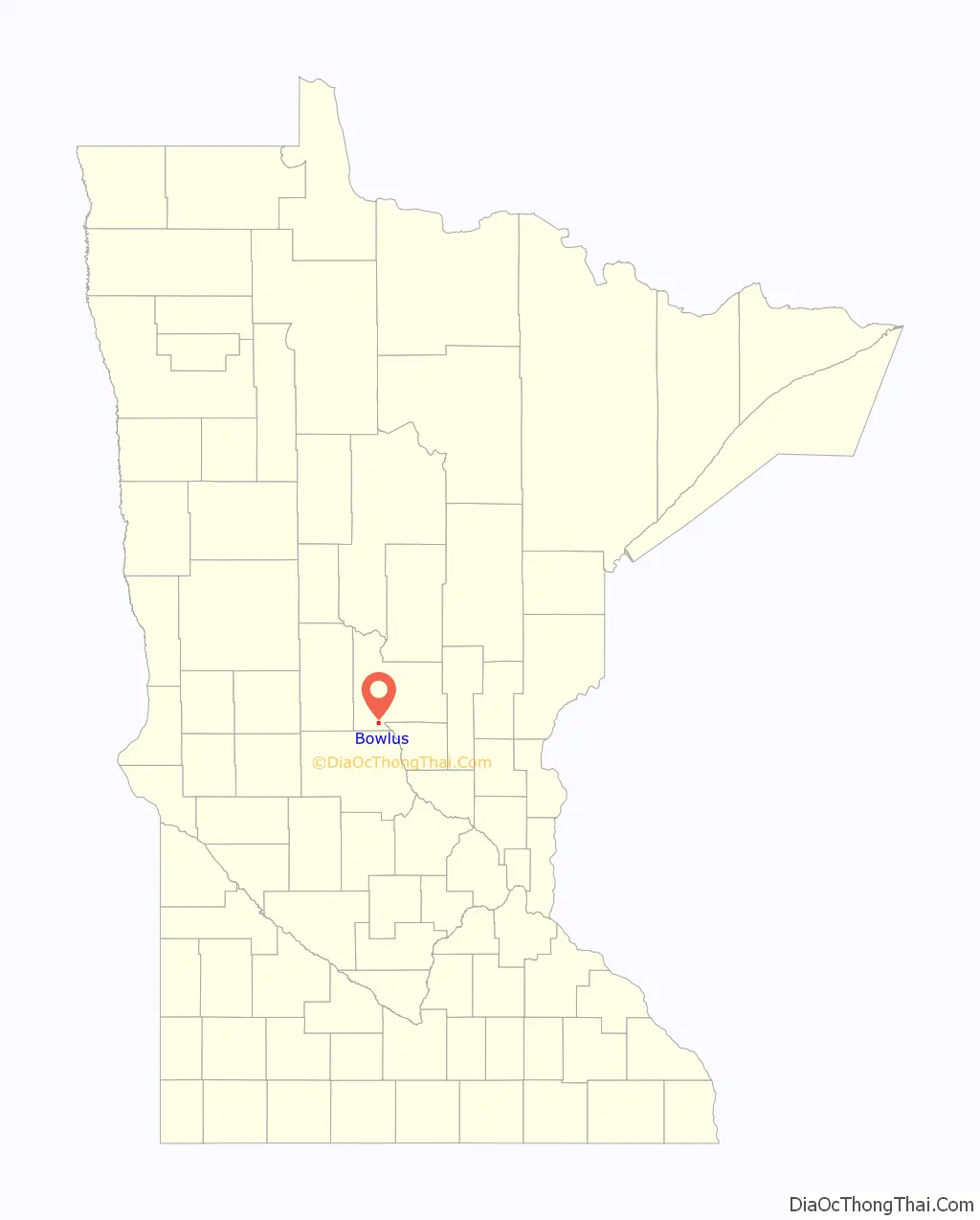
Bowlus location map. Where is Bowlus city?
History
Many of the early settlers in the Bowlus area came from Silesia in Poland. Bowlus was platted in 1907 and named by officers of the Minneapolis, St. Paul and Sault Ste. Marie Railroad. A post office has been in operation since 1907. Bowlus was incorporated as a village in September 1908 and separated from the Two Rivers Township in February 1919.
Heavy stands of oak, maple, elm and white pine trees made lumbering a significant economic force in Bowlus’s early history, including a sawmill, lumberyard, and barrel factory. The Bowlus Brick & Tile Co. was organized to extract the laminated clay the Two River deposited in the area.
Bowlus Road Map
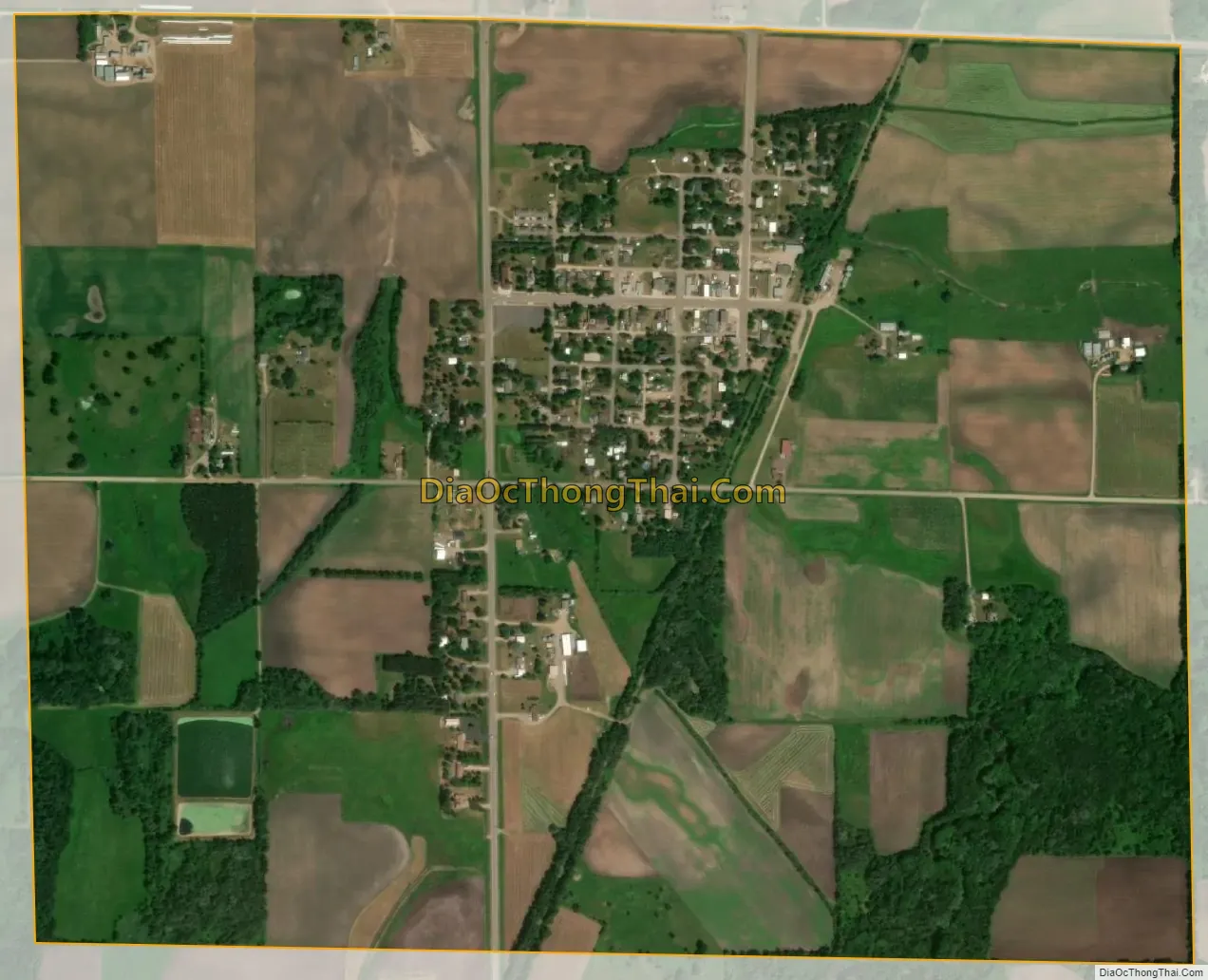
Bowlus city Satellite Map
Geography
According to the United States Census Bureau, Bowlus has an area of 1.25 square miles (3.24 km), all land.
Morrison County Roads 24 and 26; State Highway 238; and Main Street are four of the community’s main routes.
Bowlus has a fire department, a medical squad, two cafes, a bar, a church, and two gasoline stations.
See also
Map of Minnesota State and its subdivision:- Aitkin
- Anoka
- Becker
- Beltrami
- Benton
- Big Stone
- Blue Earth
- Brown
- Carlton
- Carver
- Cass
- Chippewa
- Chisago
- Clay
- Clearwater
- Cook
- Cottonwood
- Crow Wing
- Dakota
- Dodge
- Douglas
- Faribault
- Fillmore
- Freeborn
- Goodhue
- Grant
- Hennepin
- Houston
- Hubbard
- Isanti
- Itasca
- Jackson
- Kanabec
- Kandiyohi
- Kittson
- Koochiching
- Lac qui Parle
- Lake
- Lake of the Woods
- Lake Superior
- Le Sueur
- Lincoln
- Lyon
- Mahnomen
- Marshall
- Martin
- McLeod
- Meeker
- Mille Lacs
- Morrison
- Mower
- Murray
- Nicollet
- Nobles
- Norman
- Olmsted
- Otter Tail
- Pennington
- Pine
- Pipestone
- Polk
- Pope
- Ramsey
- Red Lake
- Redwood
- Renville
- Rice
- Rock
- Roseau
- Saint Louis
- Scott
- Sherburne
- Sibley
- Stearns
- Steele
- Stevens
- Swift
- Todd
- Traverse
- Wabasha
- Wadena
- Waseca
- Washington
- Watonwan
- Wilkin
- Winona
- Wright
- Yellow Medicine
- Alabama
- Alaska
- Arizona
- Arkansas
- California
- Colorado
- Connecticut
- Delaware
- District of Columbia
- Florida
- Georgia
- Hawaii
- Idaho
- Illinois
- Indiana
- Iowa
- Kansas
- Kentucky
- Louisiana
- Maine
- Maryland
- Massachusetts
- Michigan
- Minnesota
- Mississippi
- Missouri
- Montana
- Nebraska
- Nevada
- New Hampshire
- New Jersey
- New Mexico
- New York
- North Carolina
- North Dakota
- Ohio
- Oklahoma
- Oregon
- Pennsylvania
- Rhode Island
- South Carolina
- South Dakota
- Tennessee
- Texas
- Utah
- Vermont
- Virginia
- Washington
- West Virginia
- Wisconsin
- Wyoming


