Boy River is a city in Cass County, Minnesota, United States. The population was 47 at the 2010 census. It is part of the Brainerd Micropolitan Statistical Area.
| Name: | Boy River city |
|---|---|
| LSAD Code: | 25 |
| LSAD Description: | city (suffix) |
| State: | Minnesota |
| County: | Cass County |
| Elevation: | 1,329 ft (405 m) |
| Total Area: | 0.37 sq mi (0.97 km²) |
| Land Area: | 0.37 sq mi (0.97 km²) |
| Water Area: | 0.00 sq mi (0.00 km²) |
| Total Population: | 26 |
| Population Density: | 69.71/sq mi (26.89/km²) |
| ZIP code: | 56672 |
| Area code: | 218 |
| FIPS code: | 2707174 |
| GNISfeature ID: | 0655504 |
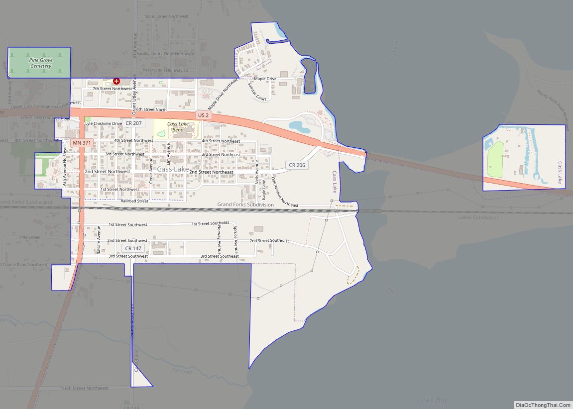
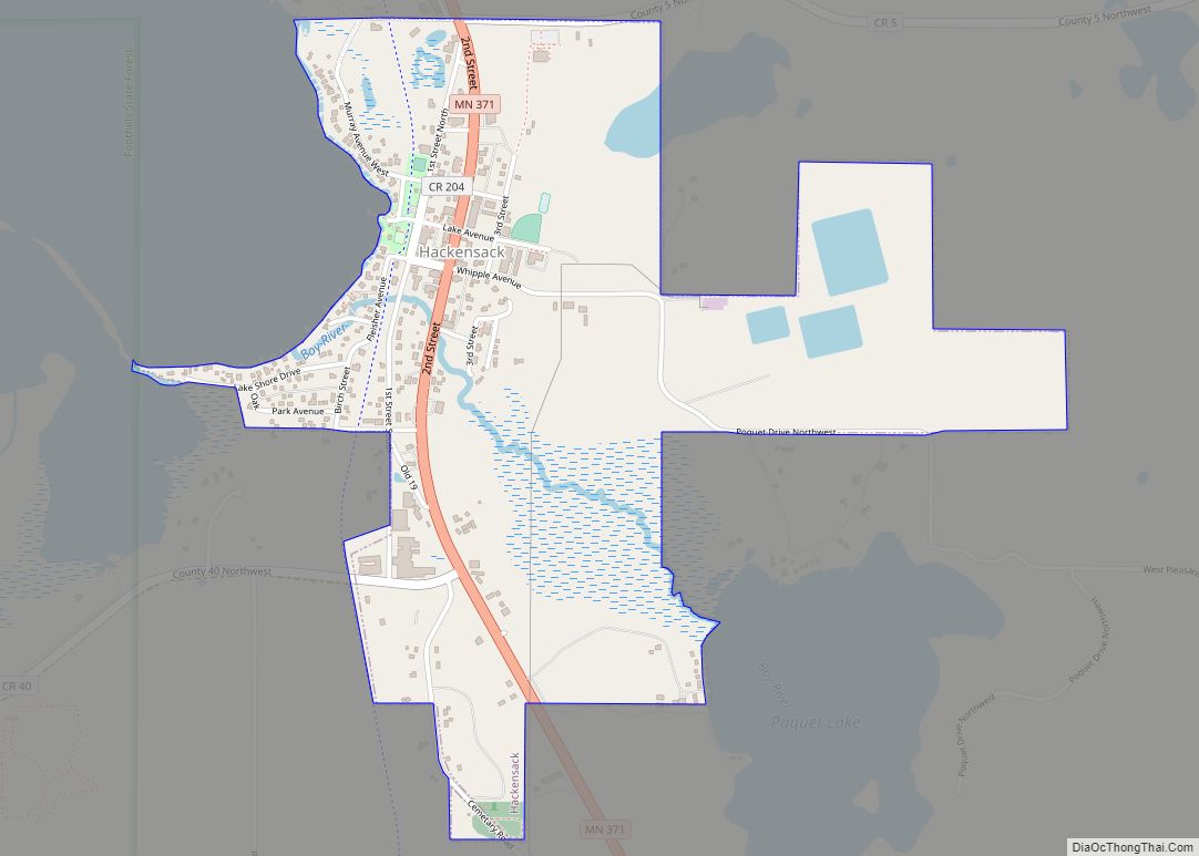
Online Interactive Map
Click on ![]() to view map in "full screen" mode.
to view map in "full screen" mode.
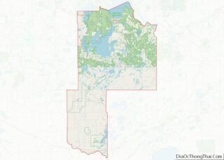
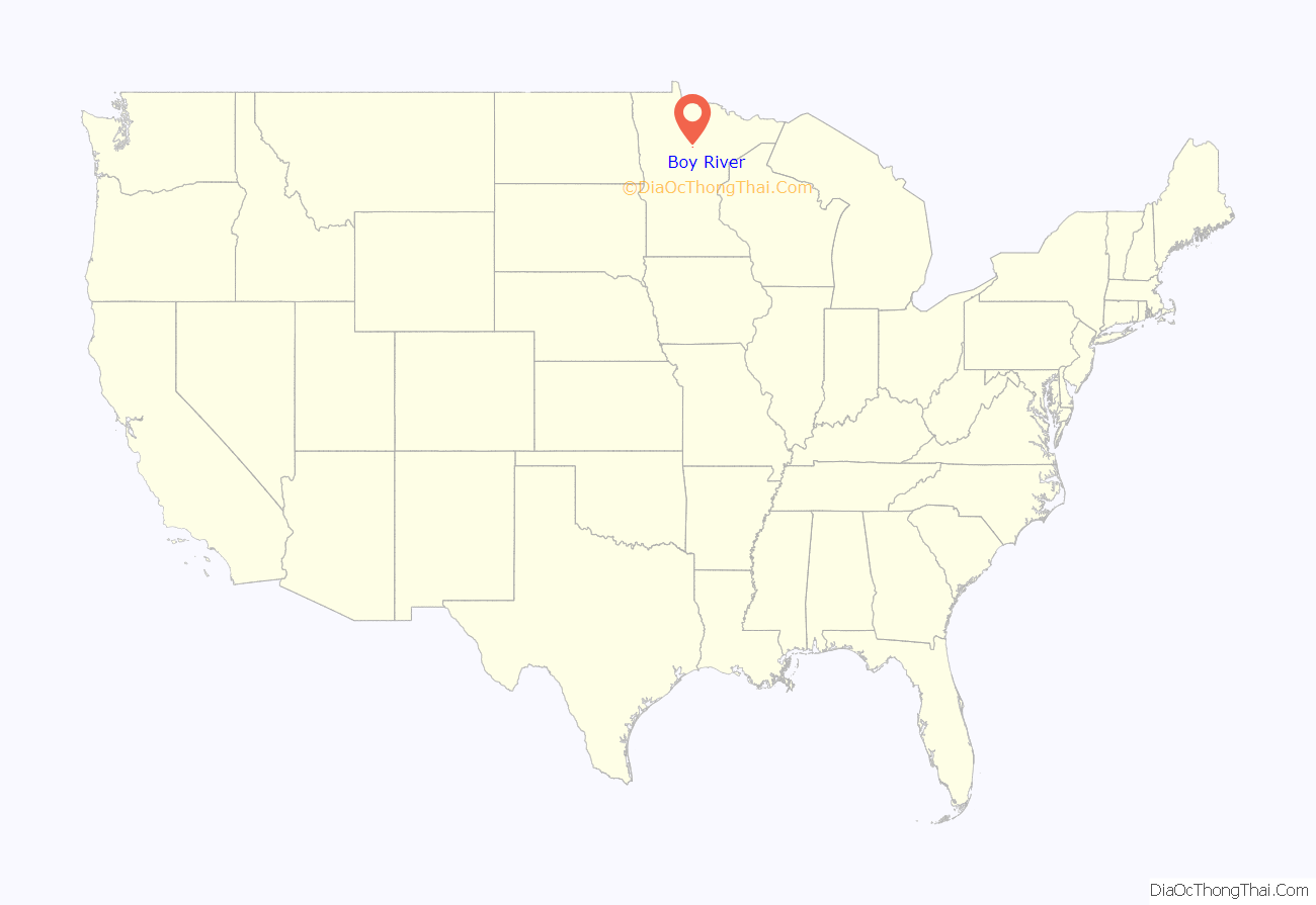
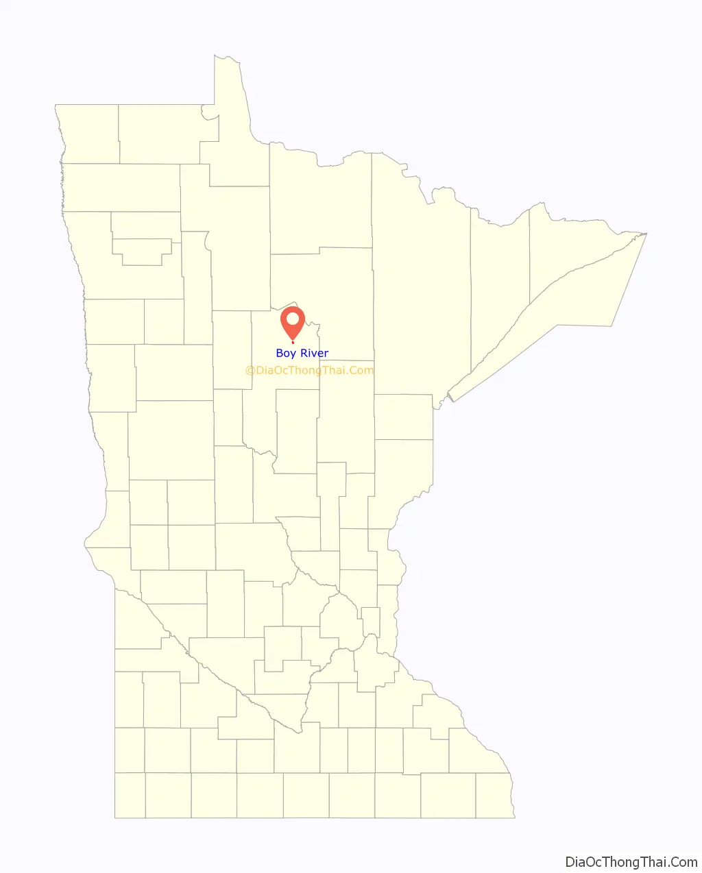
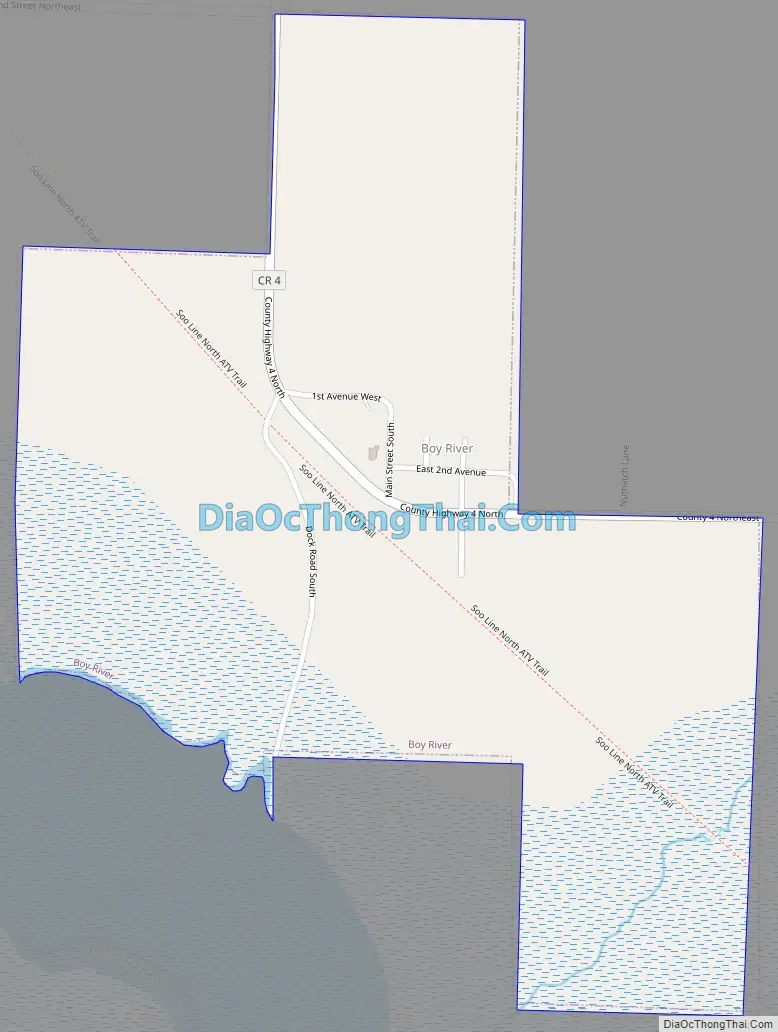
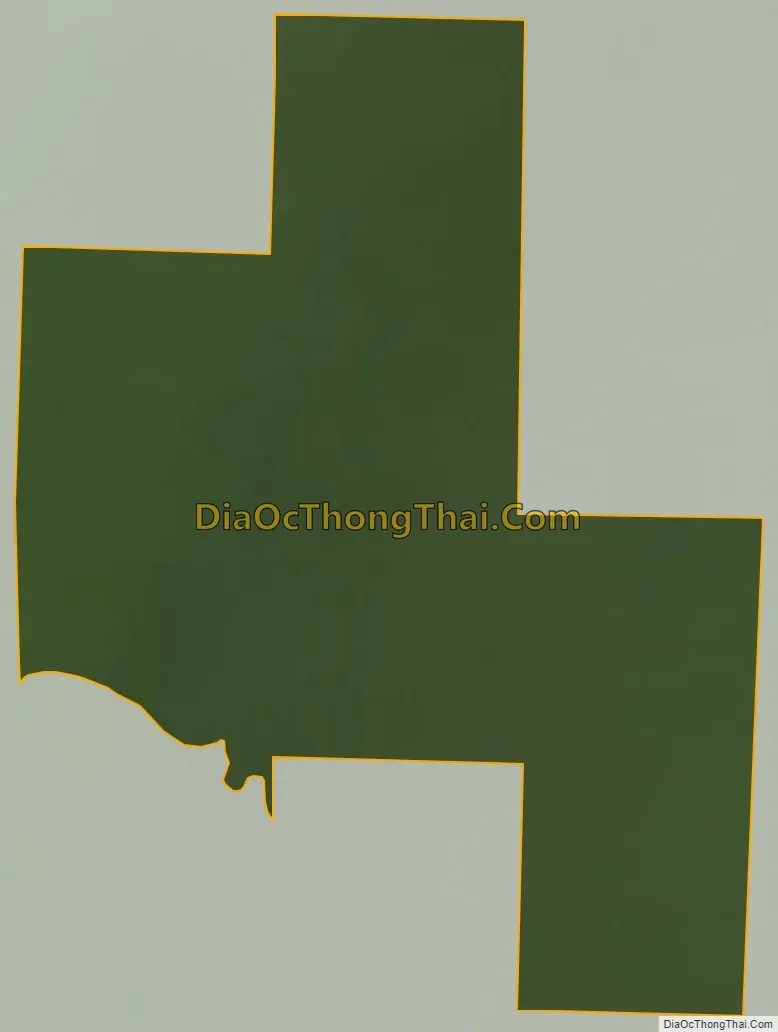
Boy River location map. Where is Boy River city?
History
A post office called Boy River was established in 1910, and remained in operation until it was discontinued in 1985. The city took its name from the nearby Boy River. In 2018, the State of Minnesota denied the City of Boy River’s petition to dissolve after a special election in which three of five total voters voted to not dissolve.
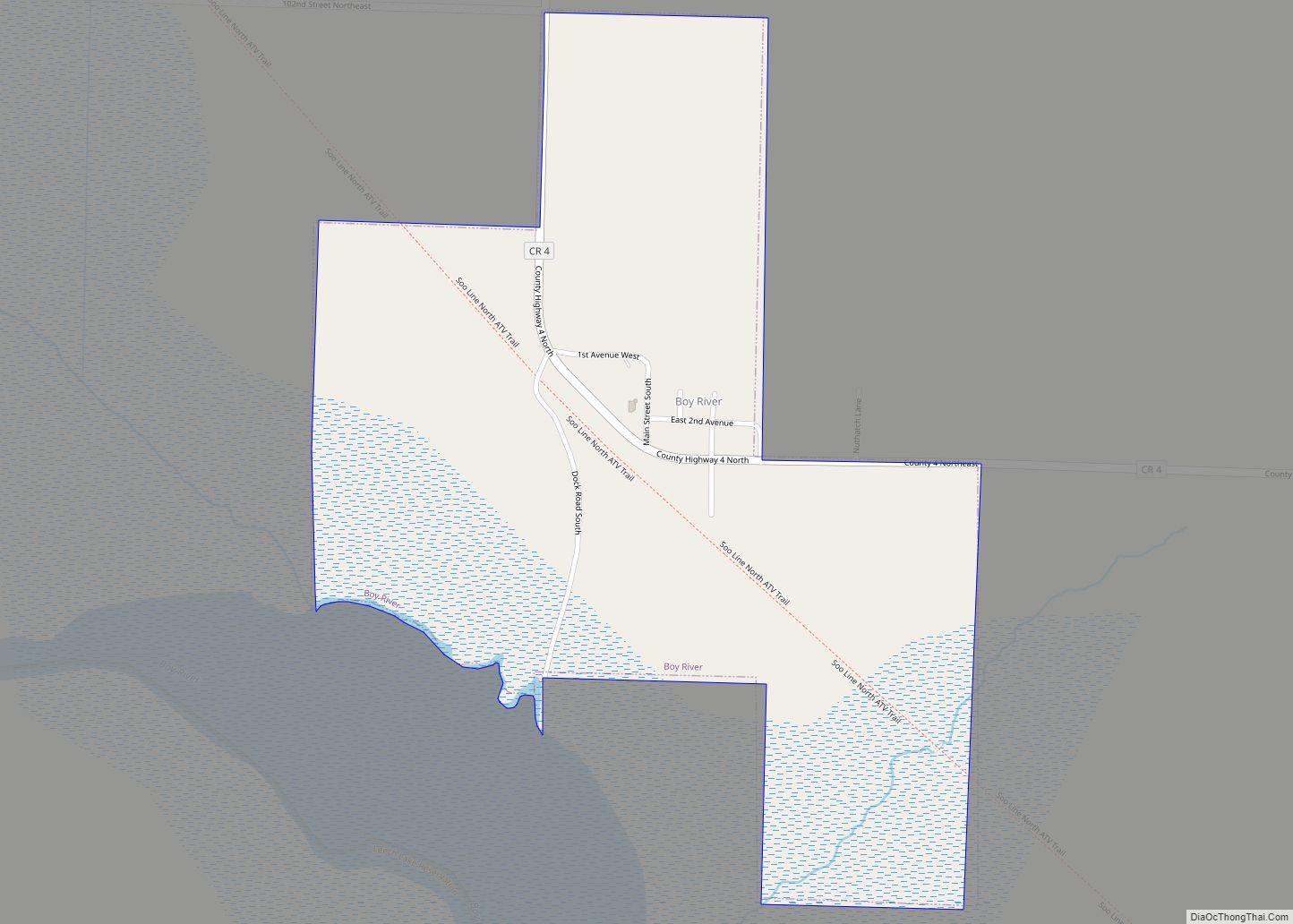
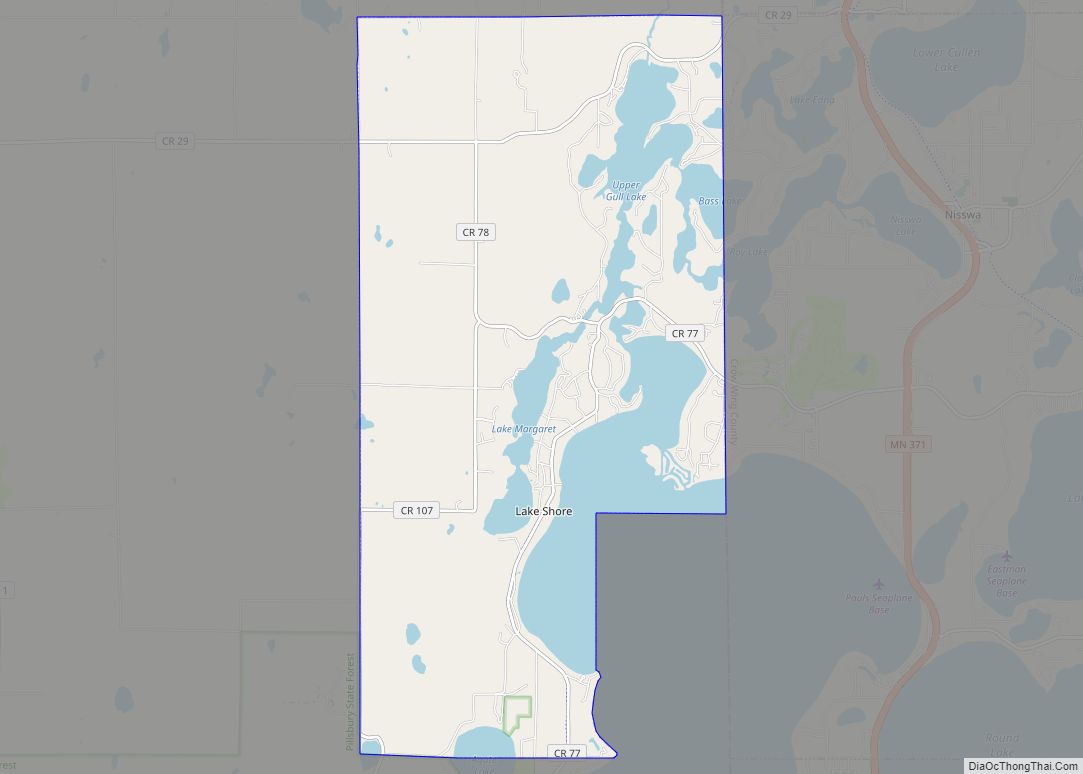
Boy River Road Map
Boy River city Satellite Map
Geography
According to the United States Census Bureau, the city has a total area of 0.37 square miles (0.96 km), all land. County Roads 4 and 63 are the main routes in the community.
See also
Map of Minnesota State and its subdivision:- Aitkin
- Anoka
- Becker
- Beltrami
- Benton
- Big Stone
- Blue Earth
- Brown
- Carlton
- Carver
- Cass
- Chippewa
- Chisago
- Clay
- Clearwater
- Cook
- Cottonwood
- Crow Wing
- Dakota
- Dodge
- Douglas
- Faribault
- Fillmore
- Freeborn
- Goodhue
- Grant
- Hennepin
- Houston
- Hubbard
- Isanti
- Itasca
- Jackson
- Kanabec
- Kandiyohi
- Kittson
- Koochiching
- Lac qui Parle
- Lake
- Lake of the Woods
- Lake Superior
- Le Sueur
- Lincoln
- Lyon
- Mahnomen
- Marshall
- Martin
- McLeod
- Meeker
- Mille Lacs
- Morrison
- Mower
- Murray
- Nicollet
- Nobles
- Norman
- Olmsted
- Otter Tail
- Pennington
- Pine
- Pipestone
- Polk
- Pope
- Ramsey
- Red Lake
- Redwood
- Renville
- Rice
- Rock
- Roseau
- Saint Louis
- Scott
- Sherburne
- Sibley
- Stearns
- Steele
- Stevens
- Swift
- Todd
- Traverse
- Wabasha
- Wadena
- Waseca
- Washington
- Watonwan
- Wilkin
- Winona
- Wright
- Yellow Medicine
- Alabama
- Alaska
- Arizona
- Arkansas
- California
- Colorado
- Connecticut
- Delaware
- District of Columbia
- Florida
- Georgia
- Hawaii
- Idaho
- Illinois
- Indiana
- Iowa
- Kansas
- Kentucky
- Louisiana
- Maine
- Maryland
- Massachusetts
- Michigan
- Minnesota
- Mississippi
- Missouri
- Montana
- Nebraska
- Nevada
- New Hampshire
- New Jersey
- New Mexico
- New York
- North Carolina
- North Dakota
- Ohio
- Oklahoma
- Oregon
- Pennsylvania
- Rhode Island
- South Carolina
- South Dakota
- Tennessee
- Texas
- Utah
- Vermont
- Virginia
- Washington
- West Virginia
- Wisconsin
- Wyoming