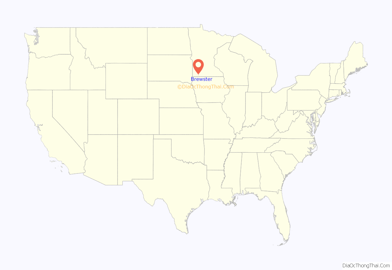
Brewster is a city in Nobles County, Minnesota, United States. The population was 473 at the 2010 census.
| Name: | Brewster city |
|---|---|
| LSAD Code: | 25 |
| LSAD Description: | city (suffix) |
| State: | Minnesota |
| County: | Nobles County |
| Elevation: | 1,490 ft (454 m) |
| Total Area: | 1.39 sq mi (3.59 km²) |
| Land Area: | 1.39 sq mi (3.59 km²) |
| Water Area: | 0.00 sq mi (0.00 km²) |
| Total Population: | 506 |
| Population Density: | 365.34/sq mi (141.09/km²) |
| ZIP code: | 56119 |
| Area code: | 507 |
| FIPS code: | 2707660 |
| GNISfeature ID: | 0640469 |
Online Interactive Map
Click on ![]() to view map in "full screen" mode.
to view map in "full screen" mode.
Brewster location map. Where is Brewster city?
History
Founding of Brewster: The town of Brewster was in established in the spring of 1872, but was known for many years as Hersey. It was the first town established in Nobles County by the St. Paul and Sioux City Railroad, and was named after General Samuel F. Hersey, a lumber baron from Maine, and one of the railroad’s directors. The first resident was W. R. Bennett, who came to take charge of the railroad station. T. J. Smith put up the first store which was run by A. J. Timlin for many years. Mr. A. O. Conde established a lumber yard and a grain business, Martin Heiser opened a second store, a hotel was opened by a Mr. Humphrey, and John Iverson established a blacksmith shop. All of this occurred in 1872, the same year that A. J. Timlin became postmaster.
Source of name: In 1880, the St. Paul and Sioux City Railroad was purchased by the Chicago, St. Paul, Minneapolis and Omaha Railway, or the Omaha Road, and there was already a station named Hersey on the latter road’s track in Wisconsin. In order to avoid confusion, the name of Hersey was changed, briefly to Nobles County Station. Soon thereafter, the name Brewster was settled upon. There is some confusion regarding the choice of name. E. F. Drake, president of the St. Paul and Sioux City Railroad once stated that the name “was changed to Brewster after a director of the Omaha Road.” But a brochure later put out by the Chicago and North Western Railway Company stated that “the present name was given in honor of Brewster, a town in Barnstable County, Massachusetts, which was named in honor of Elder William Brewster, one of the first settlers of Plymouth Colony.”
Incorporation: By the fall of 1898, it was found that 180 people lived in the community of Brewster. Thus it was decided that the time had come for incorporation. An election was held on December 14, 1898, and out of the 28 ballots cast, only one was opposed to idea of municipal government. On January 9, 1899, Leon Morris assumed duties as the first president of Brewster Village.
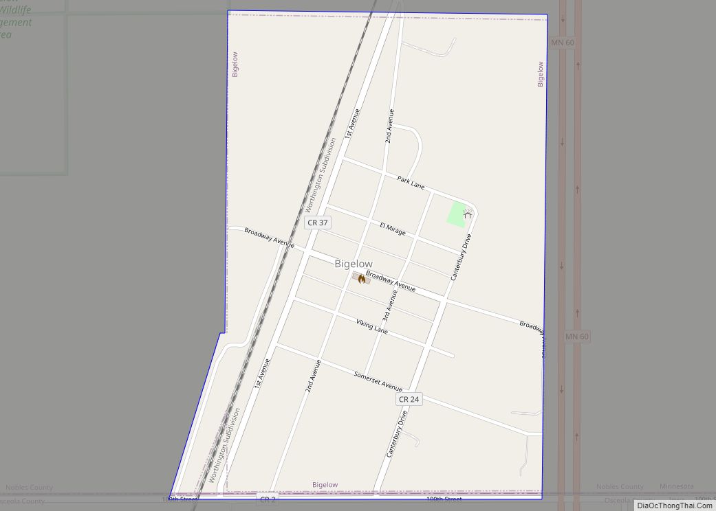
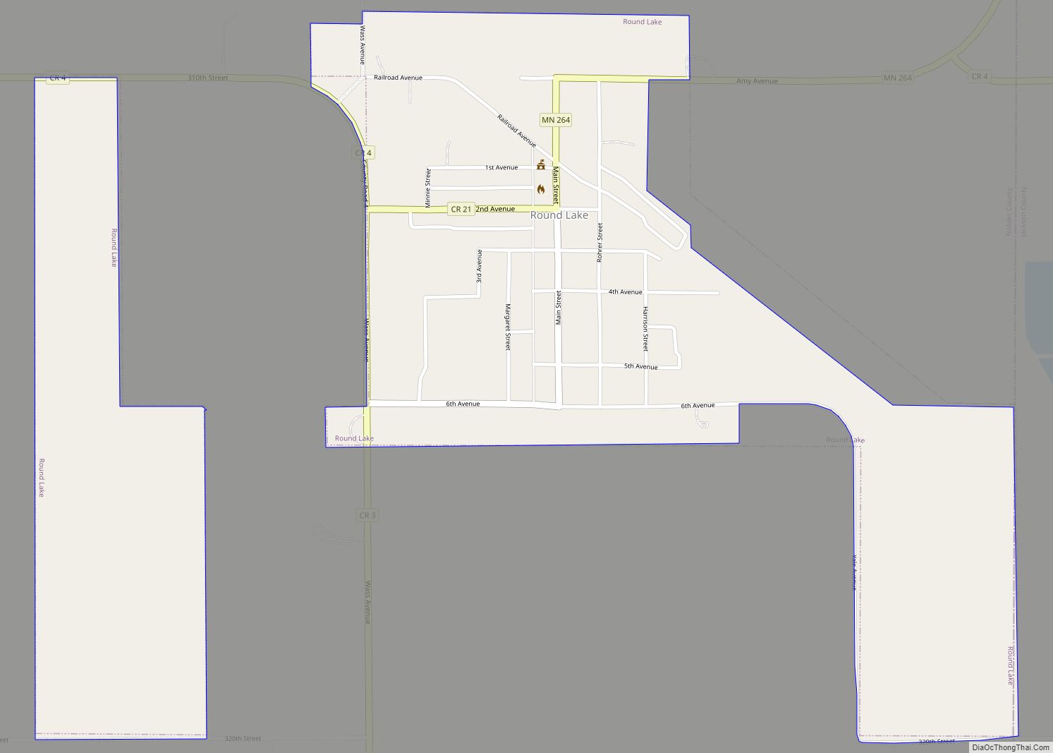
Brewster Road Map
Brewster city Satellite Map
Geography
According to the United States Census Bureau, the city has a total area of 1.36 square miles (3.52 km), all land. It is located one-half mile from the Jackson County line, on section 25 of Hersey Township. The population was 502 at the 2000 census.
Main highways include:
- Minnesota State Highway 60
- Nobles County Road 1
- Nobles County Road 14
See also
Map of Minnesota State and its subdivision:- Aitkin
- Anoka
- Becker
- Beltrami
- Benton
- Big Stone
- Blue Earth
- Brown
- Carlton
- Carver
- Cass
- Chippewa
- Chisago
- Clay
- Clearwater
- Cook
- Cottonwood
- Crow Wing
- Dakota
- Dodge
- Douglas
- Faribault
- Fillmore
- Freeborn
- Goodhue
- Grant
- Hennepin
- Houston
- Hubbard
- Isanti
- Itasca
- Jackson
- Kanabec
- Kandiyohi
- Kittson
- Koochiching
- Lac qui Parle
- Lake
- Lake of the Woods
- Lake Superior
- Le Sueur
- Lincoln
- Lyon
- Mahnomen
- Marshall
- Martin
- McLeod
- Meeker
- Mille Lacs
- Morrison
- Mower
- Murray
- Nicollet
- Nobles
- Norman
- Olmsted
- Otter Tail
- Pennington
- Pine
- Pipestone
- Polk
- Pope
- Ramsey
- Red Lake
- Redwood
- Renville
- Rice
- Rock
- Roseau
- Saint Louis
- Scott
- Sherburne
- Sibley
- Stearns
- Steele
- Stevens
- Swift
- Todd
- Traverse
- Wabasha
- Wadena
- Waseca
- Washington
- Watonwan
- Wilkin
- Winona
- Wright
- Yellow Medicine
- Alabama
- Alaska
- Arizona
- Arkansas
- California
- Colorado
- Connecticut
- Delaware
- District of Columbia
- Florida
- Georgia
- Hawaii
- Idaho
- Illinois
- Indiana
- Iowa
- Kansas
- Kentucky
- Louisiana
- Maine
- Maryland
- Massachusetts
- Michigan
- Minnesota
- Mississippi
- Missouri
- Montana
- Nebraska
- Nevada
- New Hampshire
- New Jersey
- New Mexico
- New York
- North Carolina
- North Dakota
- Ohio
- Oklahoma
- Oregon
- Pennsylvania
- Rhode Island
- South Carolina
- South Dakota
- Tennessee
- Texas
- Utah
- Vermont
- Virginia
- Washington
- West Virginia
- Wisconsin
- Wyoming
