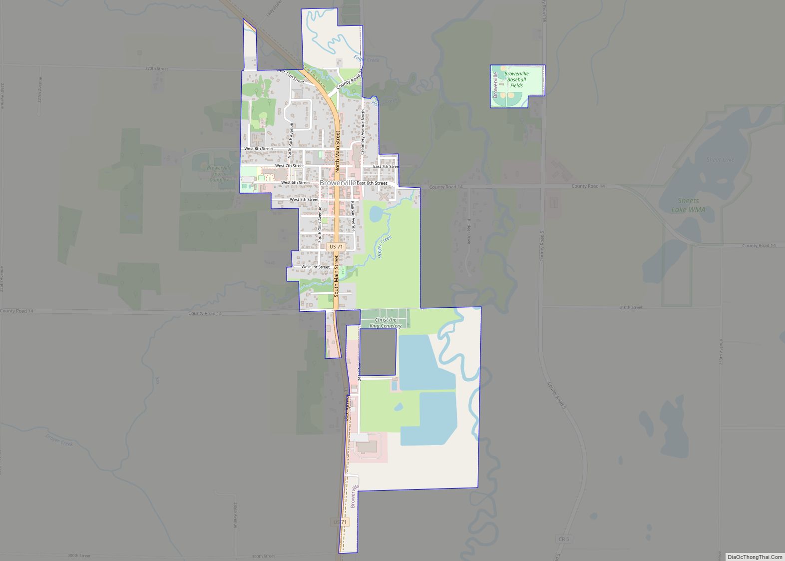
Browerville is a city in Todd County, Minnesota. The population was 790 at the time of the 2010 census.
| Name: | Browerville city |
|---|---|
| LSAD Code: | 25 |
| LSAD Description: | city (suffix) |
| State: | Minnesota |
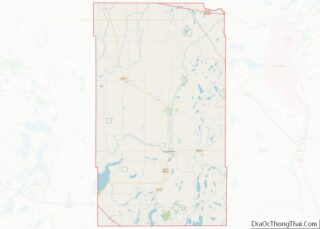
| County: | Todd County |
| Elevation: | 1,283 ft (391 m) |
| Total Area: | 1.09 sq mi (2.82 km²) |
| Land Area: | 1.09 sq mi (2.82 km²) |
| Water Area: | 0.00 sq mi (0.00 km²) |
| Total Population: | 839 |
| Population Density: | 770.43/sq mi (297.50/km²) |
| ZIP code: | 56438 |
| Area code: | 320 |
| FIPS code: | 2708110 |
| GNISfeature ID: | 0640527 |
| Website: | http://www.browerville.govoffice.com/ |
Online Interactive Map
Click on ![]() to view map in "full screen" mode.
to view map in "full screen" mode.
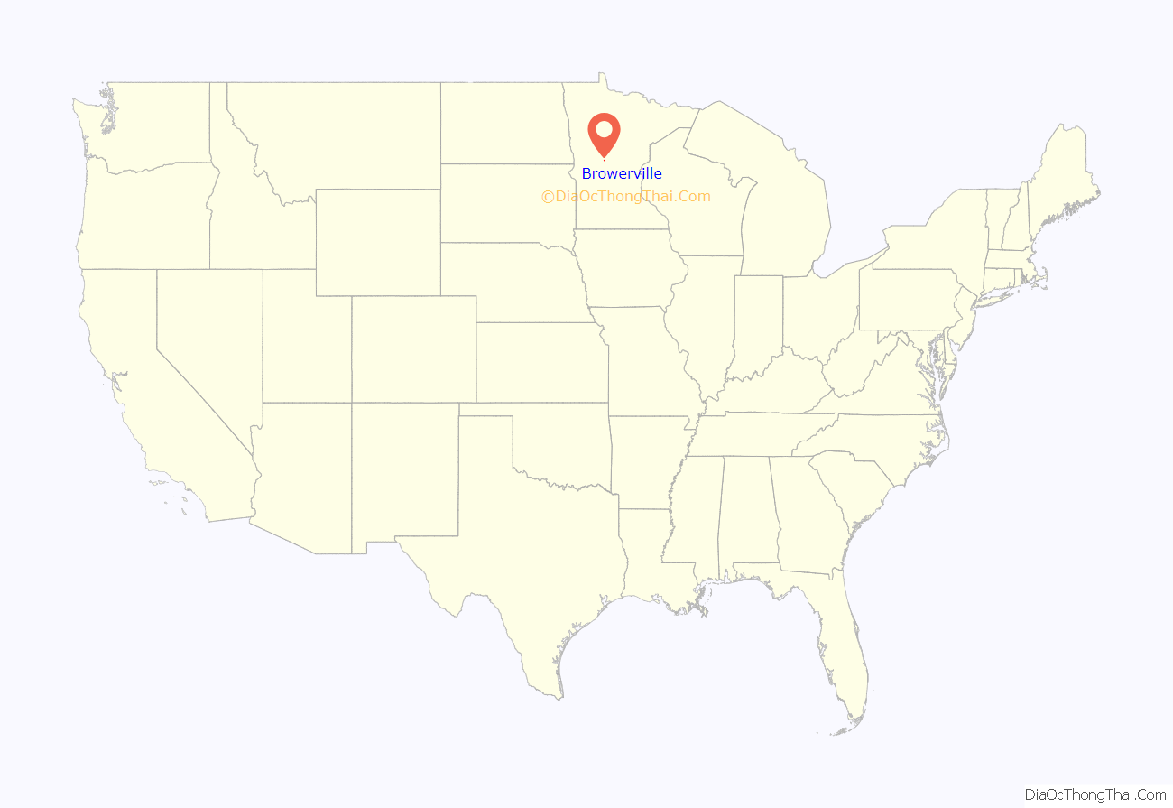
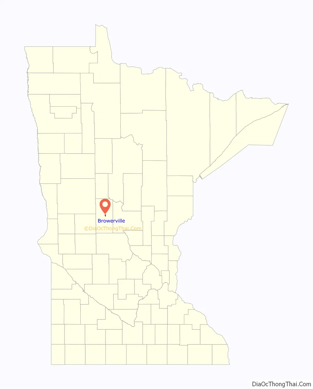
Browerville location map. Where is Browerville city?
History
Browerville was platted in 1882, and named after Jacob V. Brower (1844–1905), a county official. Browerville was incorporated in 1884. Two properties in town are on the National Register of Historic Places: the Kahlert Mercantile Store, built in 1883, and the Church of St. Joseph, completed in 1909.
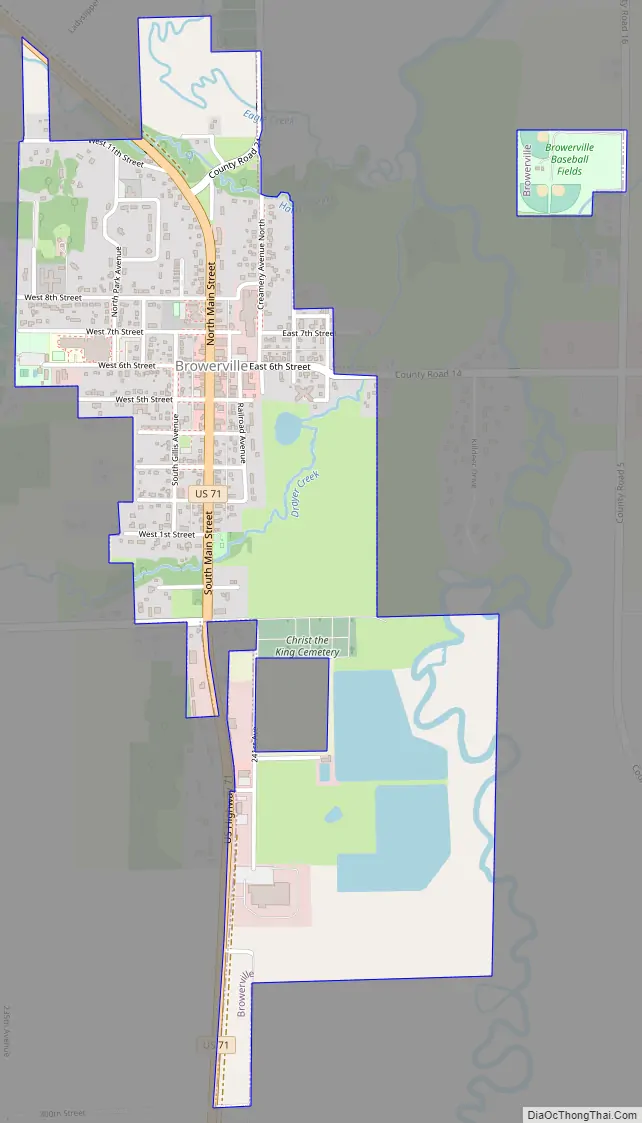
Browerville Road Map
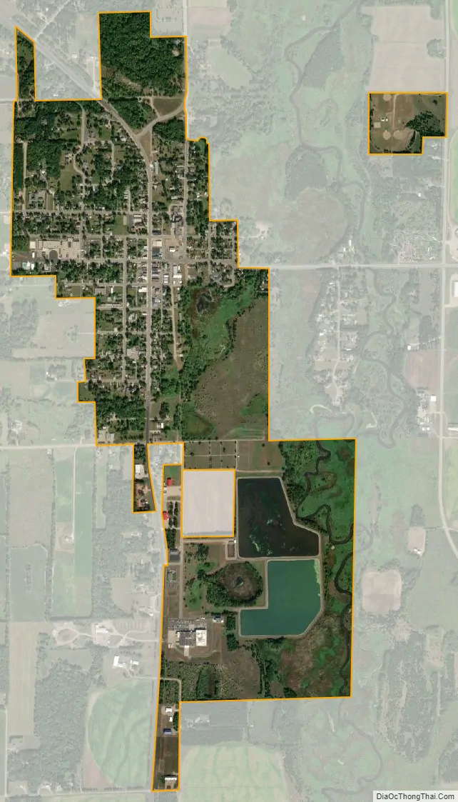
Browerville city Satellite Map
Geography
According to the United States Census Bureau, the city has a total area of 1.06 square miles (2.75 km), all land. The Long Prairie River, flows near the town’s eastern boundary. Eagle and Harris Creeks join the river near town Browerville is along U.S. Highway 71, and County Roads 14 and 21.
See also
Map of Minnesota State and its subdivision:- Aitkin
- Anoka
- Becker
- Beltrami
- Benton
- Big Stone
- Blue Earth
- Brown
- Carlton
- Carver
- Cass
- Chippewa
- Chisago
- Clay
- Clearwater
- Cook
- Cottonwood
- Crow Wing
- Dakota
- Dodge
- Douglas
- Faribault
- Fillmore
- Freeborn
- Goodhue
- Grant
- Hennepin
- Houston
- Hubbard
- Isanti
- Itasca
- Jackson
- Kanabec
- Kandiyohi
- Kittson
- Koochiching
- Lac qui Parle
- Lake
- Lake of the Woods
- Lake Superior
- Le Sueur
- Lincoln
- Lyon
- Mahnomen
- Marshall
- Martin
- McLeod
- Meeker
- Mille Lacs
- Morrison
- Mower
- Murray
- Nicollet
- Nobles
- Norman
- Olmsted
- Otter Tail
- Pennington
- Pine
- Pipestone
- Polk
- Pope
- Ramsey
- Red Lake
- Redwood
- Renville
- Rice
- Rock
- Roseau
- Saint Louis
- Scott
- Sherburne
- Sibley
- Stearns
- Steele
- Stevens
- Swift
- Todd
- Traverse
- Wabasha
- Wadena
- Waseca
- Washington
- Watonwan
- Wilkin
- Winona
- Wright
- Yellow Medicine
- Alabama
- Alaska
- Arizona
- Arkansas
- California
- Colorado
- Connecticut
- Delaware
- District of Columbia
- Florida
- Georgia
- Hawaii
- Idaho
- Illinois
- Indiana
- Iowa
- Kansas
- Kentucky
- Louisiana
- Maine
- Maryland
- Massachusetts
- Michigan
- Minnesota
- Mississippi
- Missouri
- Montana
- Nebraska
- Nevada
- New Hampshire
- New Jersey
- New Mexico
- New York
- North Carolina
- North Dakota
- Ohio
- Oklahoma
- Oregon
- Pennsylvania
- Rhode Island
- South Carolina
- South Dakota
- Tennessee
- Texas
- Utah
- Vermont
- Virginia
- Washington
- West Virginia
- Wisconsin
- Wyoming