Brownsville is a city in Houston County, Minnesota, United States. The population was 566 at the 2020 census.
| Name: | Brownsville city |
|---|---|
| LSAD Code: | 25 |
| LSAD Description: | city (suffix) |
| State: | Minnesota |
| County: | Houston County |
| Elevation: | 705 ft (215 m) |
| Total Area: | 1.85 sq mi (4.79 km²) |
| Land Area: | 1.85 sq mi (4.79 km²) |
| Water Area: | 0.00 sq mi (0.00 km²) |
| Total Population: | 566 |
| Population Density: | 306.11/sq mi (118.19/km²) |
| ZIP code: | 55919 |
| Area code: | 507 |
| FIPS code: | 2708218 |
| GNISfeature ID: | 0640547 |
| Website: | brownsvillemn.org |
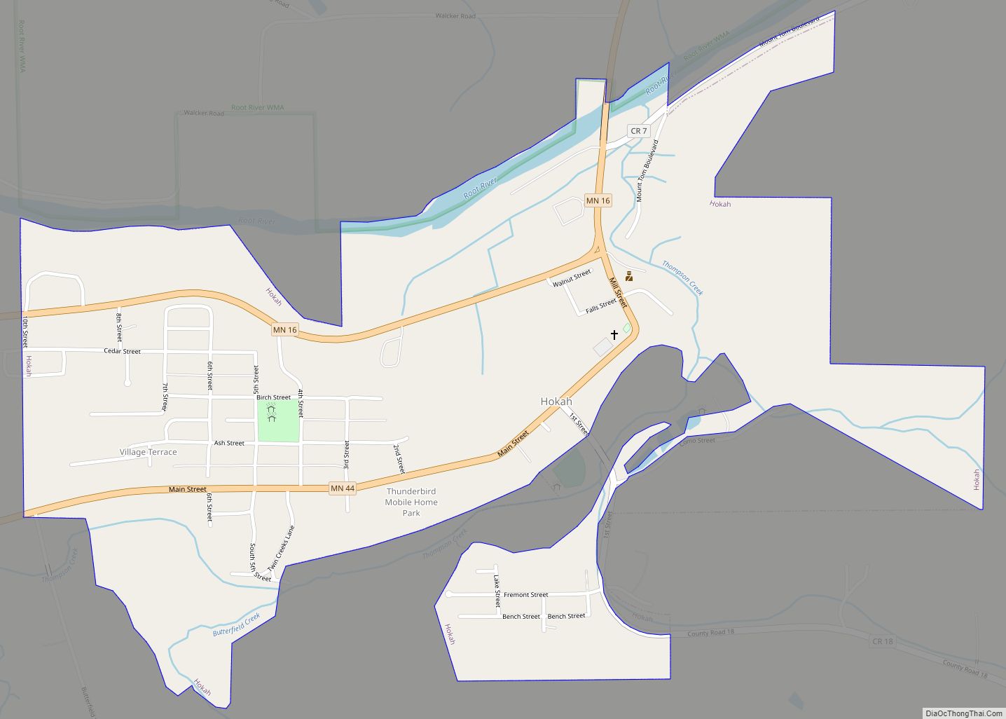
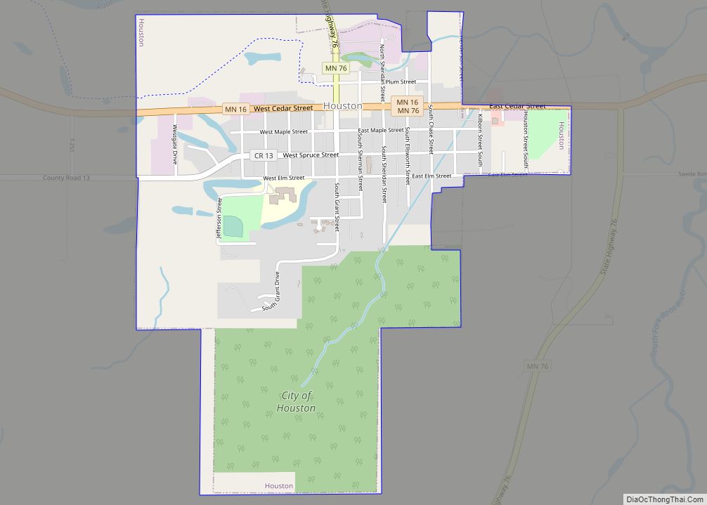
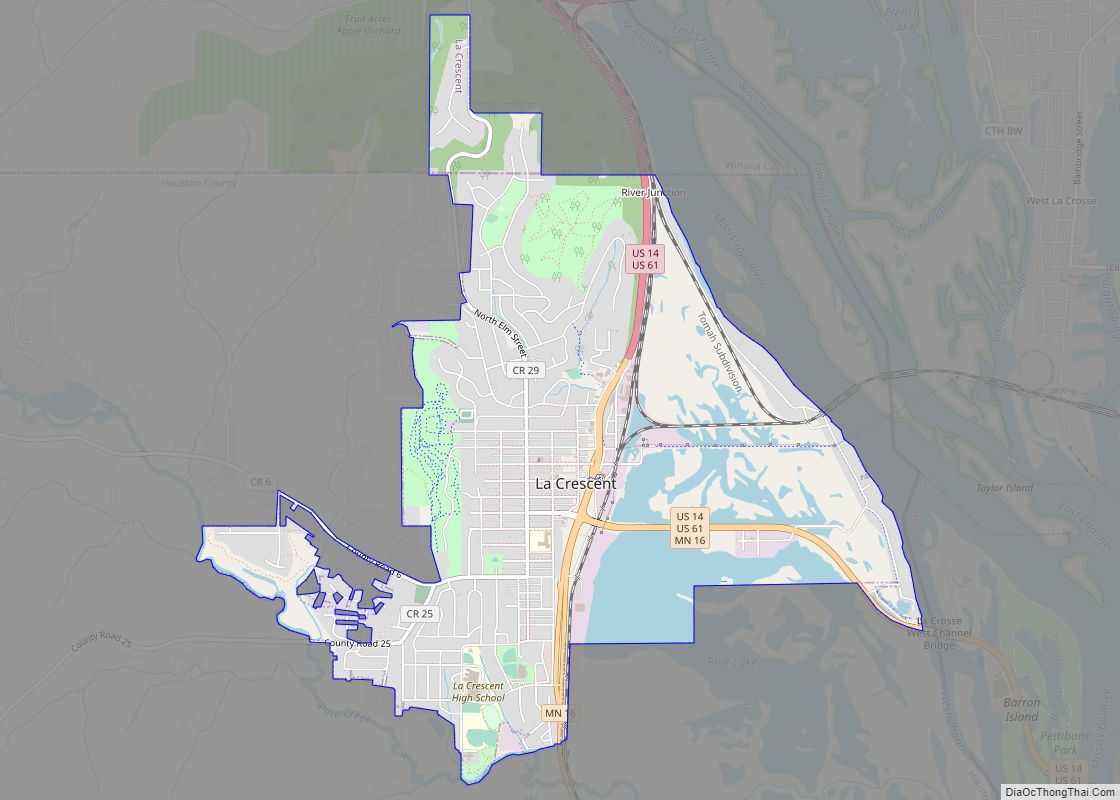
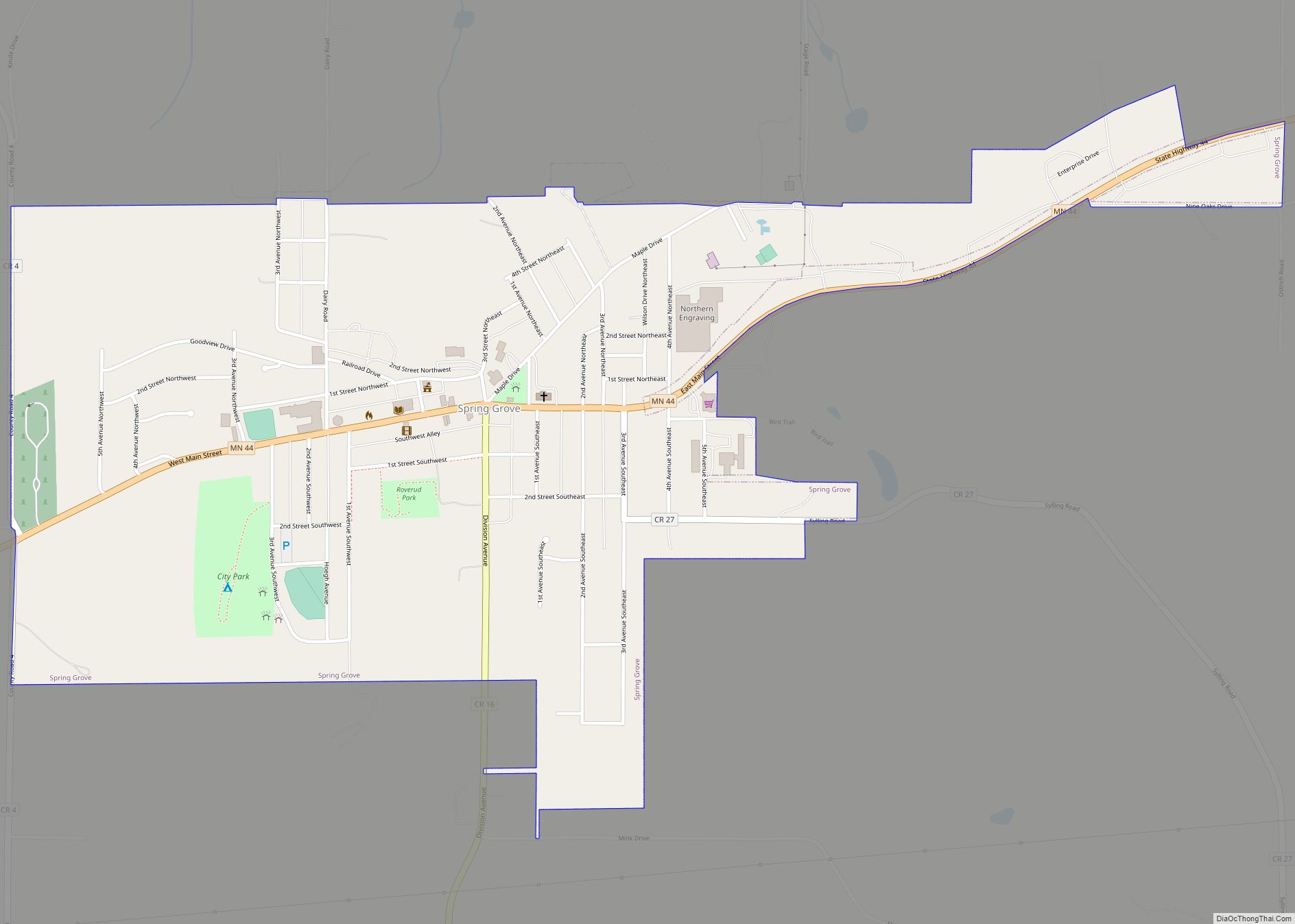
Online Interactive Map
Click on ![]() to view map in "full screen" mode.
to view map in "full screen" mode.
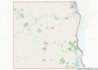
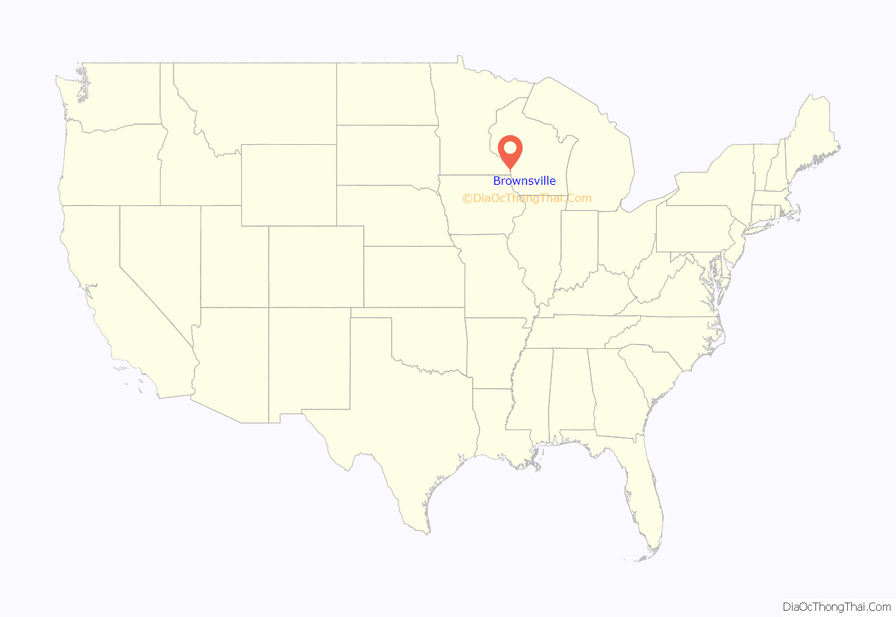
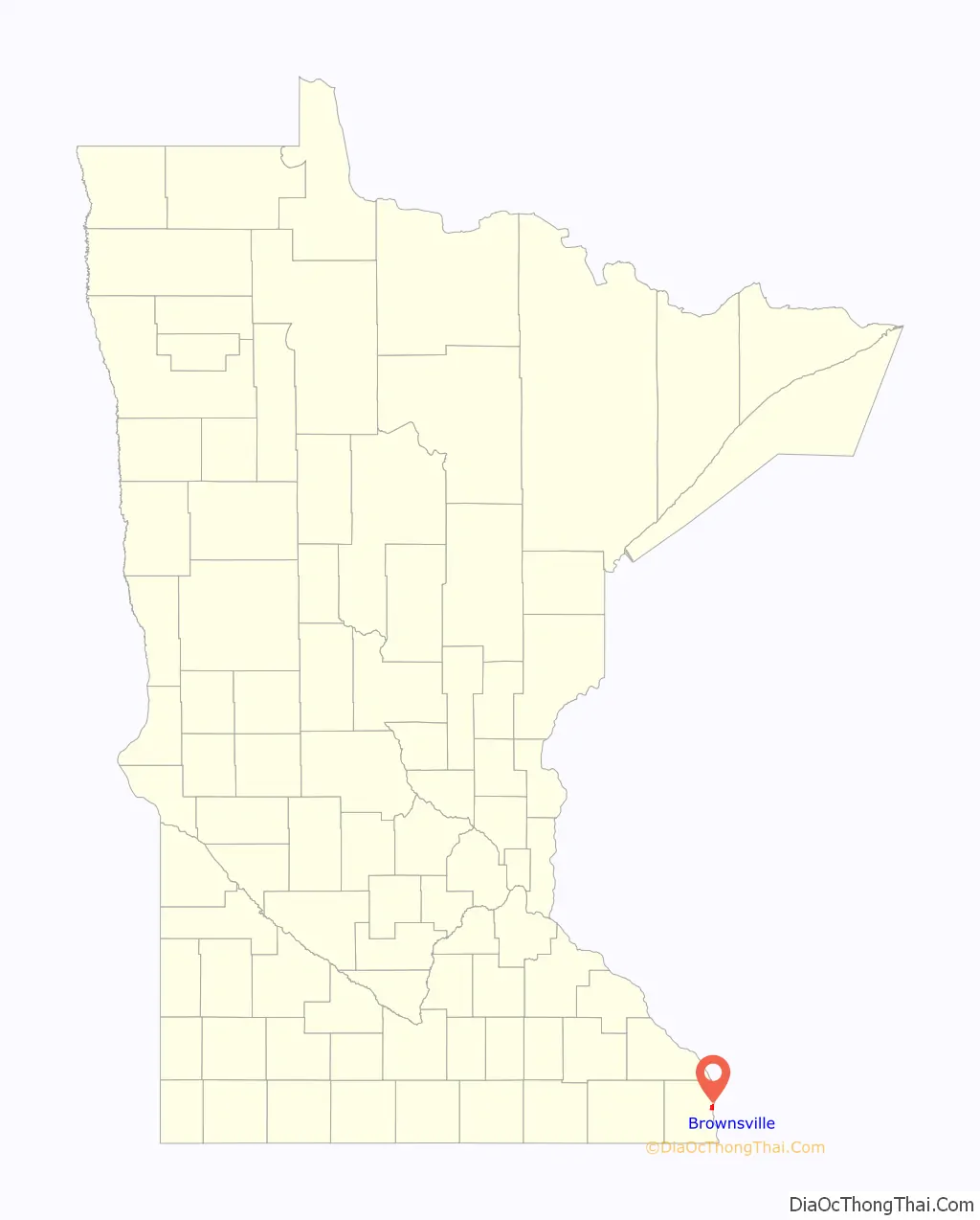
Brownsville location map. Where is Brownsville city?
History
A post office called Brownsville has been in operation since 1852. Brownsville was platted in 1854 by the brothers Job and Charles Brown, and named for them.
The village of Brownsville was destroyed by fire in October 1920. The loss was reported to be worth $75,000. The rail depot and eight other buildings were destroyed.
The weekly Brownsville News newspaper, established in June 1885, ceased publication in October 1920. It was issued with the Houston County Chief from November 1920 to April 1927 and with the Hokah Chief from April to July 1927.
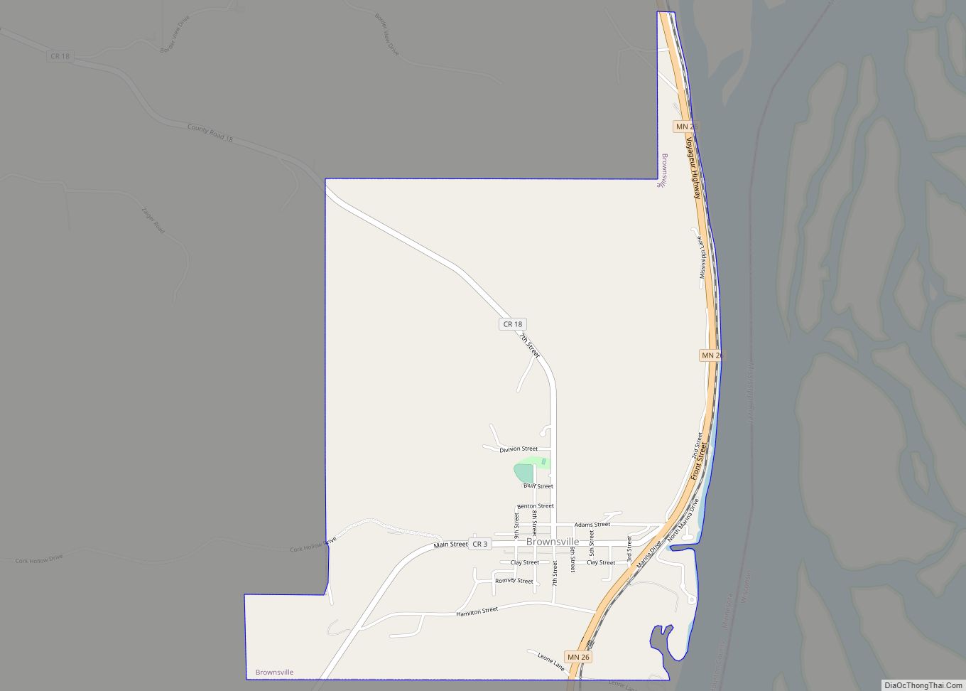
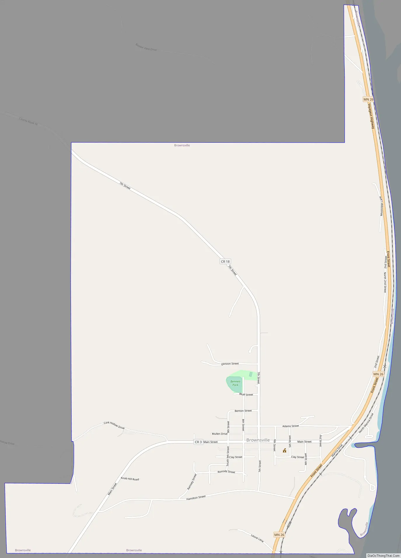
Brownsville Road Map
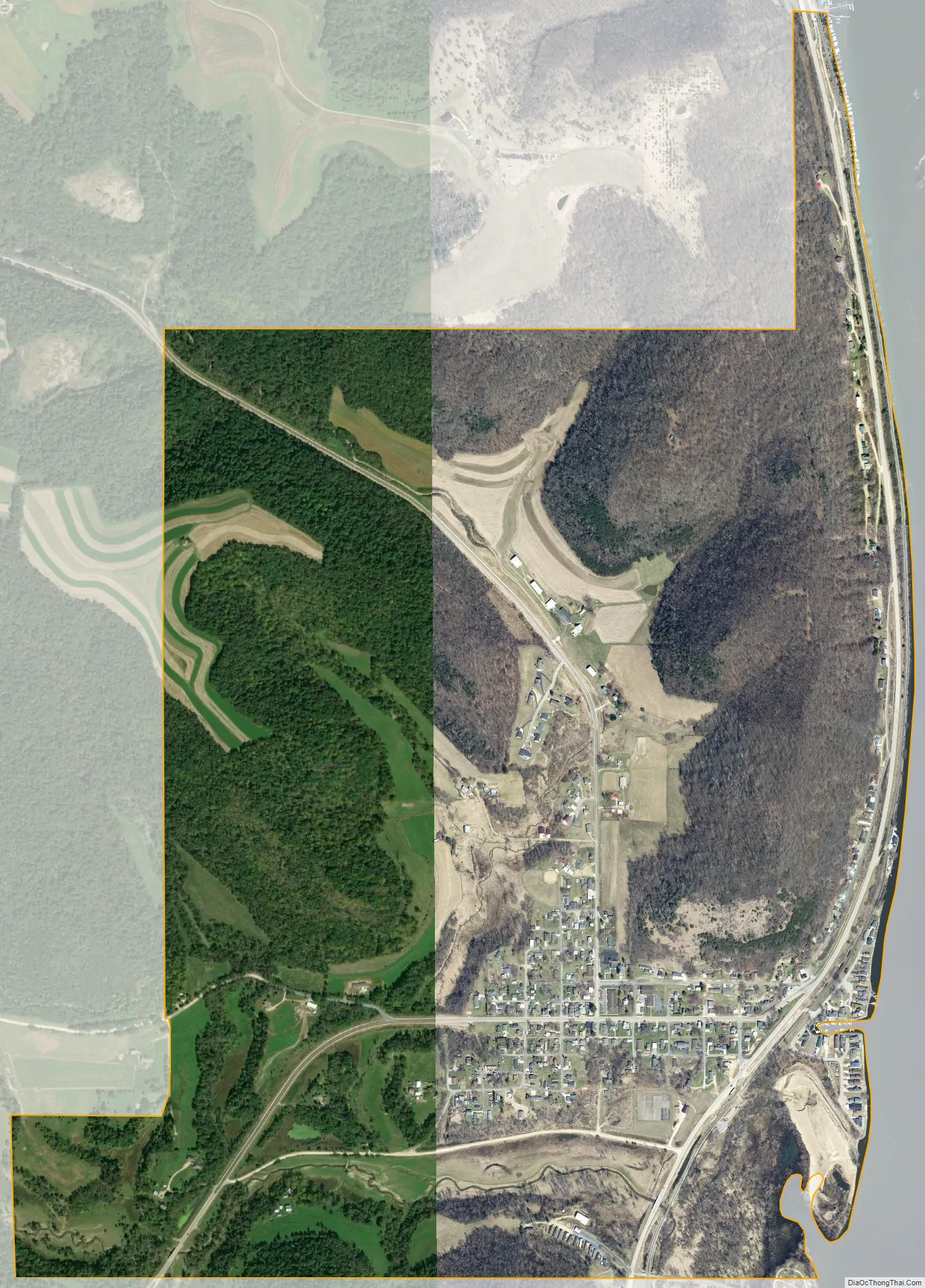
Brownsville city Satellite Map
Geography
According to the United States Census Bureau, the city has a total area of 1.94 square miles (5.02 km), of which 1.75 square miles (4.53 km) is land and 0.19 square miles (0.49 km) is water.
Minnesota State Highway 26 and County Road 3 (Main Street) are two of the main routes in the community.
See also
Map of Minnesota State and its subdivision:- Aitkin
- Anoka
- Becker
- Beltrami
- Benton
- Big Stone
- Blue Earth
- Brown
- Carlton
- Carver
- Cass
- Chippewa
- Chisago
- Clay
- Clearwater
- Cook
- Cottonwood
- Crow Wing
- Dakota
- Dodge
- Douglas
- Faribault
- Fillmore
- Freeborn
- Goodhue
- Grant
- Hennepin
- Houston
- Hubbard
- Isanti
- Itasca
- Jackson
- Kanabec
- Kandiyohi
- Kittson
- Koochiching
- Lac qui Parle
- Lake
- Lake of the Woods
- Lake Superior
- Le Sueur
- Lincoln
- Lyon
- Mahnomen
- Marshall
- Martin
- McLeod
- Meeker
- Mille Lacs
- Morrison
- Mower
- Murray
- Nicollet
- Nobles
- Norman
- Olmsted
- Otter Tail
- Pennington
- Pine
- Pipestone
- Polk
- Pope
- Ramsey
- Red Lake
- Redwood
- Renville
- Rice
- Rock
- Roseau
- Saint Louis
- Scott
- Sherburne
- Sibley
- Stearns
- Steele
- Stevens
- Swift
- Todd
- Traverse
- Wabasha
- Wadena
- Waseca
- Washington
- Watonwan
- Wilkin
- Winona
- Wright
- Yellow Medicine
- Alabama
- Alaska
- Arizona
- Arkansas
- California
- Colorado
- Connecticut
- Delaware
- District of Columbia
- Florida
- Georgia
- Hawaii
- Idaho
- Illinois
- Indiana
- Iowa
- Kansas
- Kentucky
- Louisiana
- Maine
- Maryland
- Massachusetts
- Michigan
- Minnesota
- Mississippi
- Missouri
- Montana
- Nebraska
- Nevada
- New Hampshire
- New Jersey
- New Mexico
- New York
- North Carolina
- North Dakota
- Ohio
- Oklahoma
- Oregon
- Pennsylvania
- Rhode Island
- South Carolina
- South Dakota
- Tennessee
- Texas
- Utah
- Vermont
- Virginia
- Washington
- West Virginia
- Wisconsin
- Wyoming