Byron is a city in Olmsted County, Minnesota, United States, approximately five miles (8 km) west of Rochester on U.S. Route 14. It is surrounded by Kalmar Township. The population was 6,312 at the 2020 census.
Local industries are in the form of farm services and printing. A grain elevator is situated next to the rail line that runs through town, which is owned by the Dakota, Minnesota and Eastern Railroad. Schmidt Printing (a subsidiary of Taylor Corporation) is another major company in town. Byron is also a bedroom community for nearby Rochester, Minnesota.
| Name: | Byron city |
|---|---|
| LSAD Code: | 25 |
| LSAD Description: | city (suffix) |
| State: | Minnesota |
| County: | Olmsted County |
| Incorporated: | 1873 |
| Elevation: | 1,257 ft (383 m) |
| Total Area: | 3.04 sq mi (7.87 km²) |
| Land Area: | 3.04 sq mi (7.87 km²) |
| Water Area: | 0.00 sq mi (0.00 km²) |
| Total Population: | 6,312 |
| Population Density: | 2,077.00/sq mi (801.99/km²) |
| ZIP code: | 55920 |
| Area code: | 507 |
| FIPS code: | 2709154 |
| GNISfeature ID: | 0640721 |
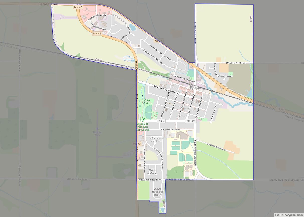
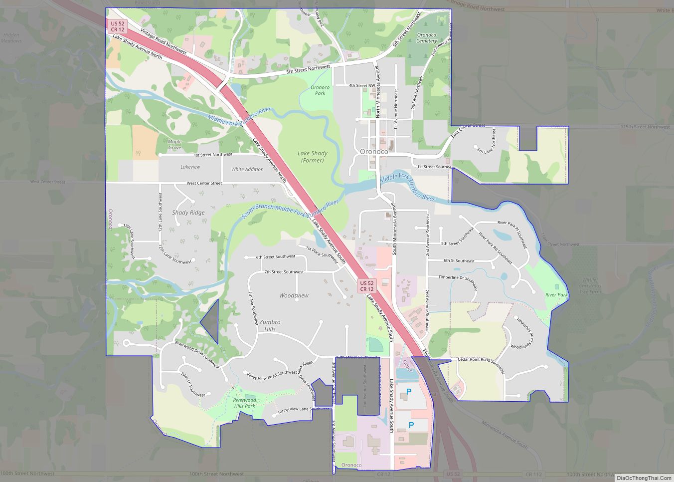
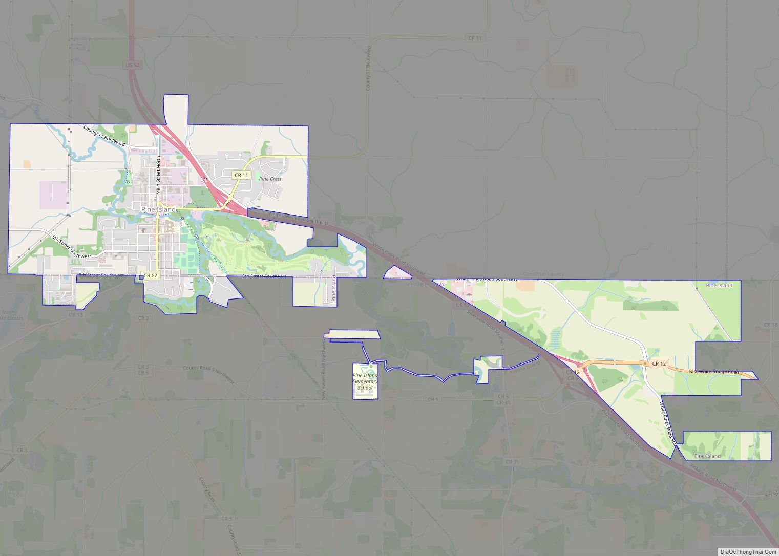
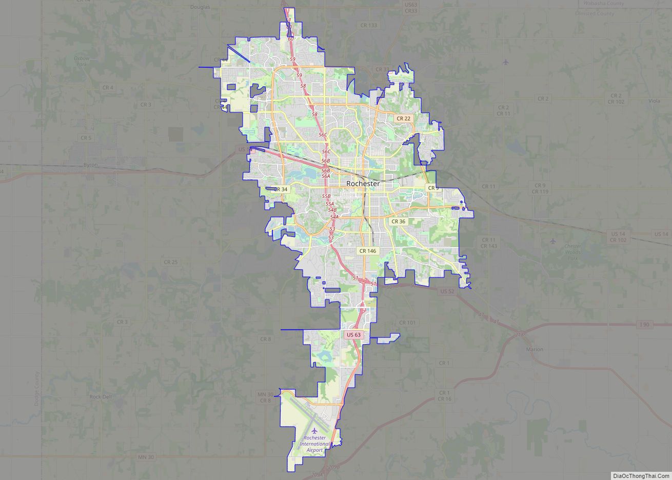
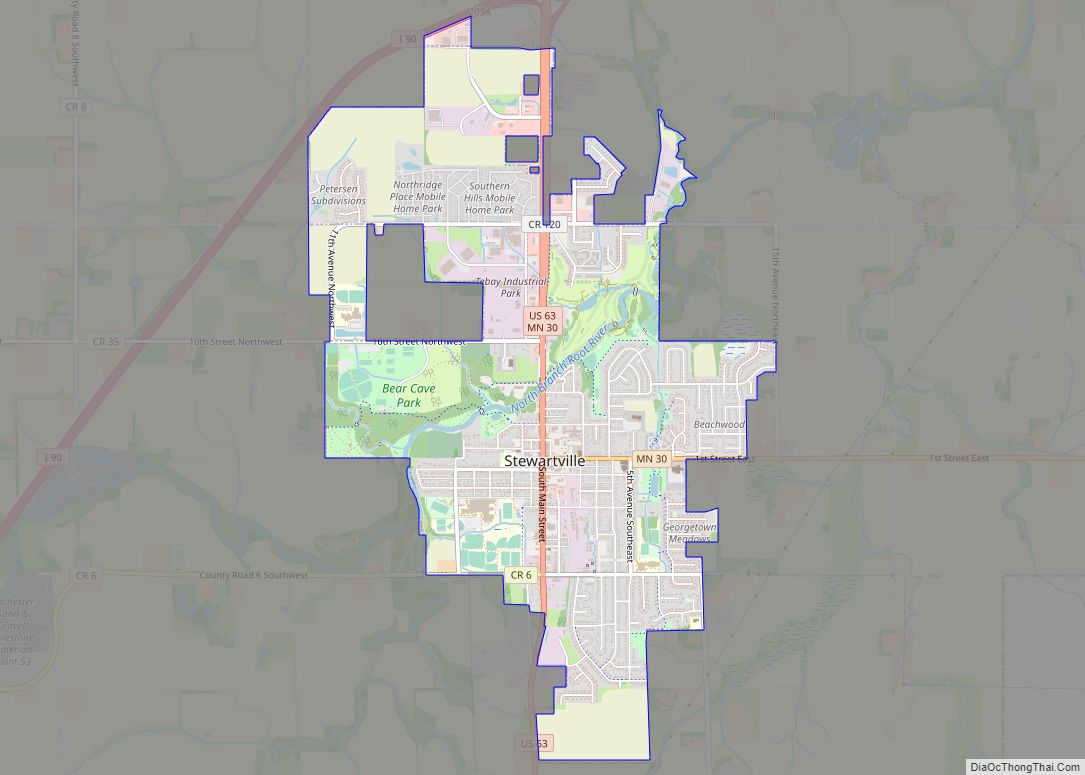
Online Interactive Map
Click on ![]() to view map in "full screen" mode.
to view map in "full screen" mode.
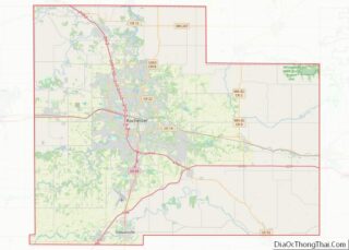
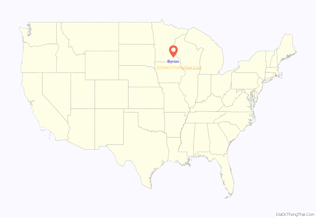
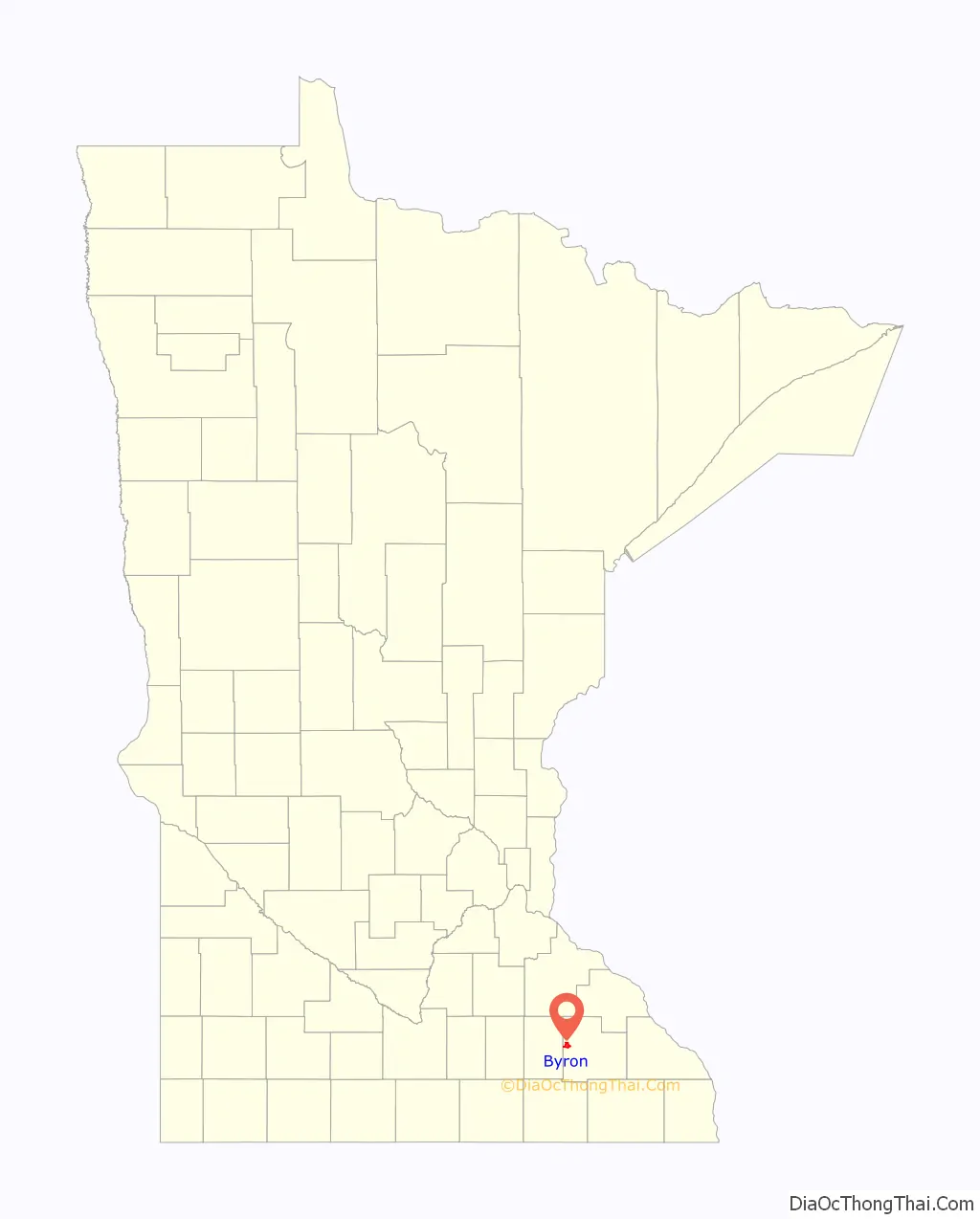
Byron location map. Where is Byron city?
History
Byron was platted in 1864. The city was named after Port Byron, New York by George W. Van Dusen, an early businessman in the area. A post office called Byron has been in operation since 1868. Byron was incorporated in 1873. Before the town was established, a small community known as Bear Grove was west of present-day Byron.
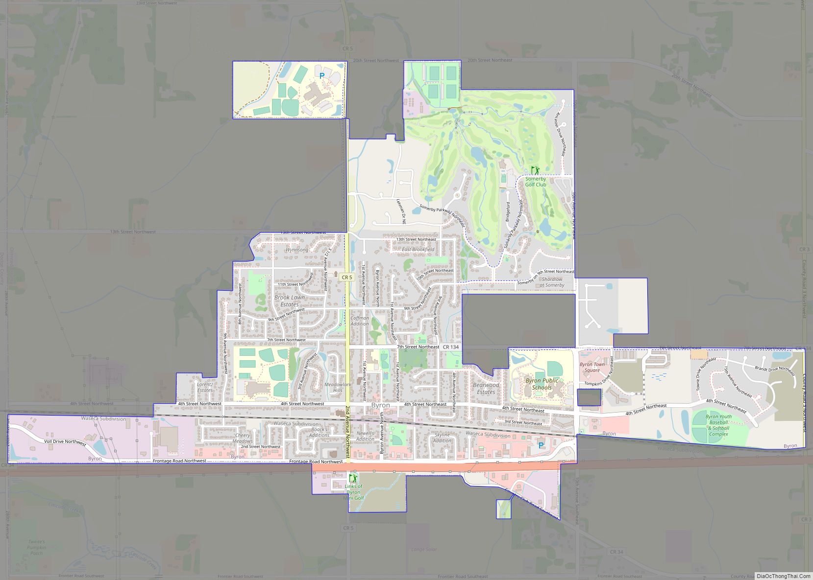
Byron Road Map
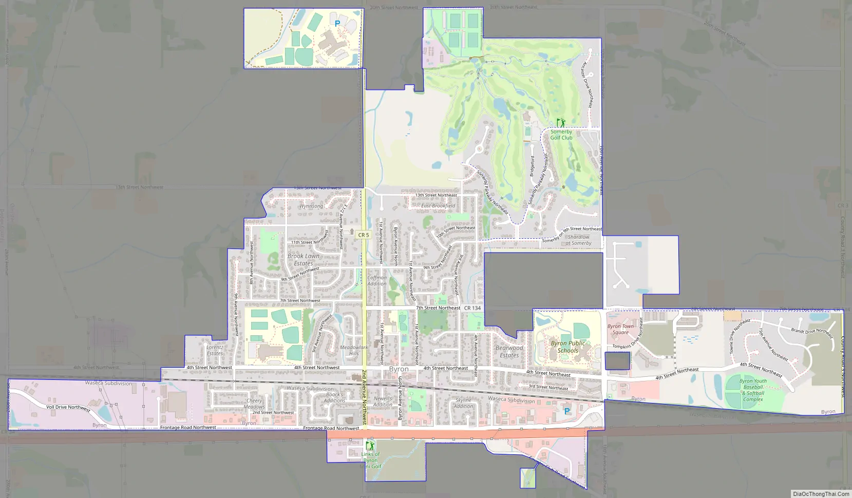
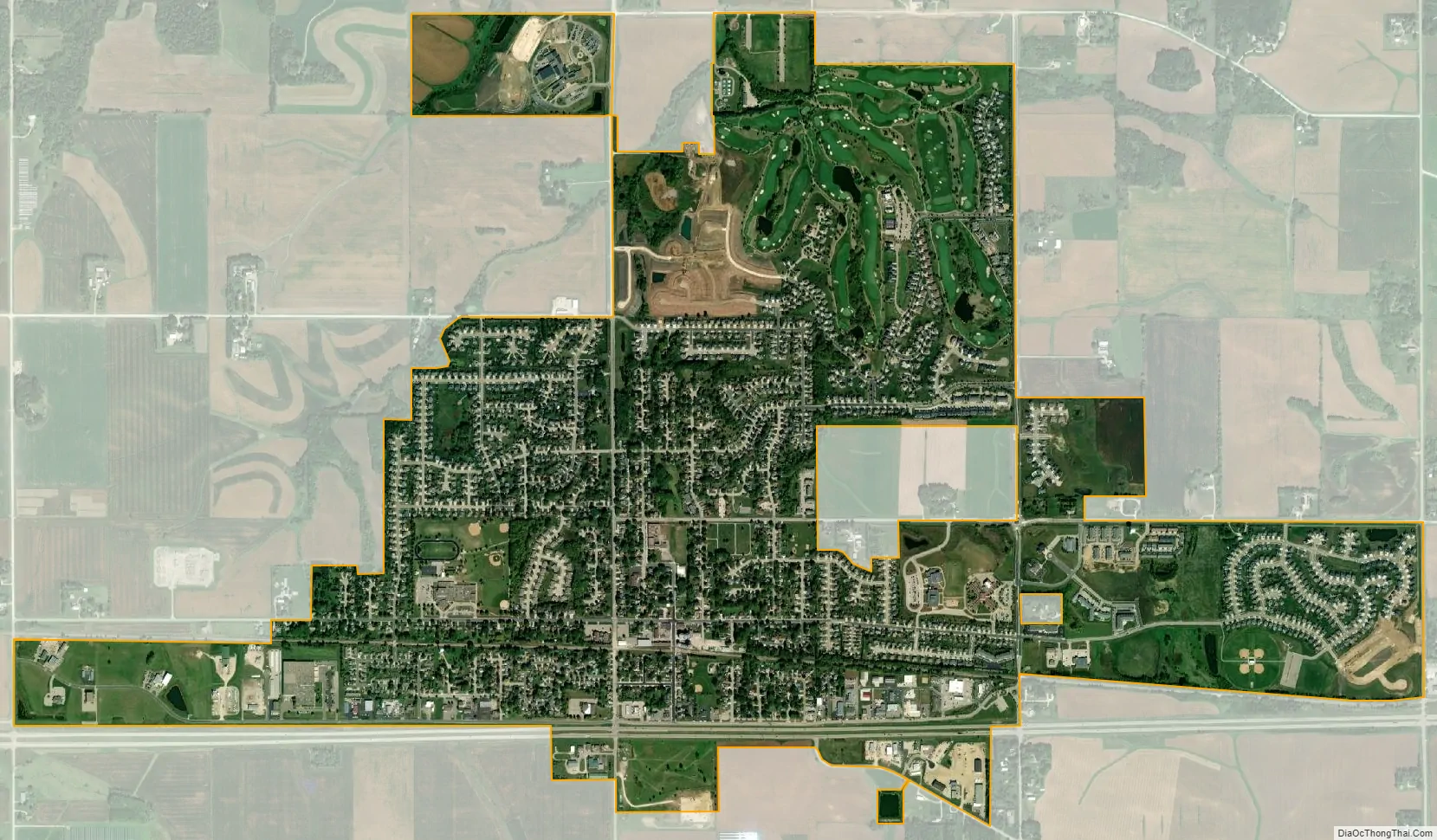
Byron city Satellite Map
Geography
According to the United States Census Bureau, the city has a total area of 2.91 square miles (7.54 km), all land.
See also
Map of Minnesota State and its subdivision:- Aitkin
- Anoka
- Becker
- Beltrami
- Benton
- Big Stone
- Blue Earth
- Brown
- Carlton
- Carver
- Cass
- Chippewa
- Chisago
- Clay
- Clearwater
- Cook
- Cottonwood
- Crow Wing
- Dakota
- Dodge
- Douglas
- Faribault
- Fillmore
- Freeborn
- Goodhue
- Grant
- Hennepin
- Houston
- Hubbard
- Isanti
- Itasca
- Jackson
- Kanabec
- Kandiyohi
- Kittson
- Koochiching
- Lac qui Parle
- Lake
- Lake of the Woods
- Lake Superior
- Le Sueur
- Lincoln
- Lyon
- Mahnomen
- Marshall
- Martin
- McLeod
- Meeker
- Mille Lacs
- Morrison
- Mower
- Murray
- Nicollet
- Nobles
- Norman
- Olmsted
- Otter Tail
- Pennington
- Pine
- Pipestone
- Polk
- Pope
- Ramsey
- Red Lake
- Redwood
- Renville
- Rice
- Rock
- Roseau
- Saint Louis
- Scott
- Sherburne
- Sibley
- Stearns
- Steele
- Stevens
- Swift
- Todd
- Traverse
- Wabasha
- Wadena
- Waseca
- Washington
- Watonwan
- Wilkin
- Winona
- Wright
- Yellow Medicine
- Alabama
- Alaska
- Arizona
- Arkansas
- California
- Colorado
- Connecticut
- Delaware
- District of Columbia
- Florida
- Georgia
- Hawaii
- Idaho
- Illinois
- Indiana
- Iowa
- Kansas
- Kentucky
- Louisiana
- Maine
- Maryland
- Massachusetts
- Michigan
- Minnesota
- Mississippi
- Missouri
- Montana
- Nebraska
- Nevada
- New Hampshire
- New Jersey
- New Mexico
- New York
- North Carolina
- North Dakota
- Ohio
- Oklahoma
- Oregon
- Pennsylvania
- Rhode Island
- South Carolina
- South Dakota
- Tennessee
- Texas
- Utah
- Vermont
- Virginia
- Washington
- West Virginia
- Wisconsin
- Wyoming