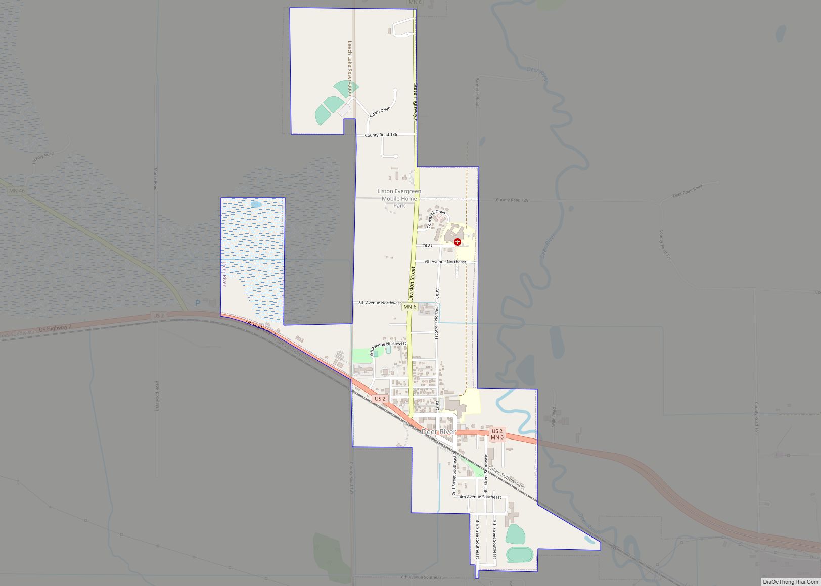
Deer River is a city in Itasca County, Minnesota, United States. The population was 930 at the 2010 census.
U.S. Highway 2 and Minnesota State Highways 6 and 46 are three of the main routes in the community.
| Name: | Deer River city |
|---|---|
| LSAD Code: | 25 |
| LSAD Description: | city (suffix) |
| State: | Minnesota |
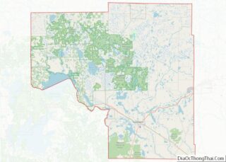
| County: | Itasca County |
| Elevation: | 1,293 ft (394 m) |
| Total Area: | 1.51 sq mi (3.91 km²) |
| Land Area: | 1.51 sq mi (3.91 km²) |
| Water Area: | 0.00 sq mi (0.00 km²) |
| Total Population: | 909 |
| Population Density: | 602.39/sq mi (232.62/km²) |
| ZIP code: | 56636 |
| Area code: | 218 |
| FIPS code: | 2715310 |
| GNISfeature ID: | 0655967 |
| Website: | www.deerriver.org |
Online Interactive Map
Click on ![]() to view map in "full screen" mode.
to view map in "full screen" mode.
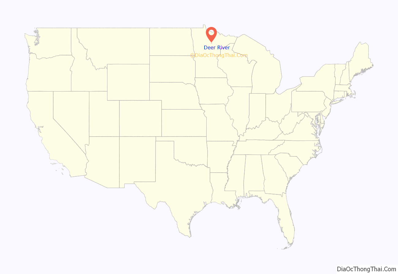
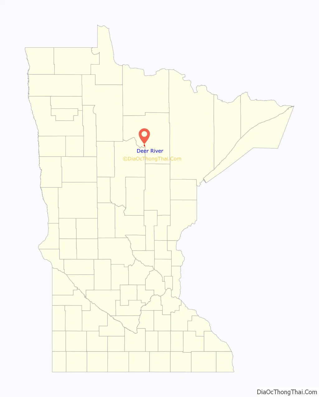
Deer River location map. Where is Deer River city?
History
Deer River has a site on the National Register of Historic Places, the Itasca Lumber Company Superintendent’s House, built in 1904 by the leading lumber company in the area.
Late in World War II, a logging camp manned by prisoners of war was located at the site of an old CCC camp near Deer River.
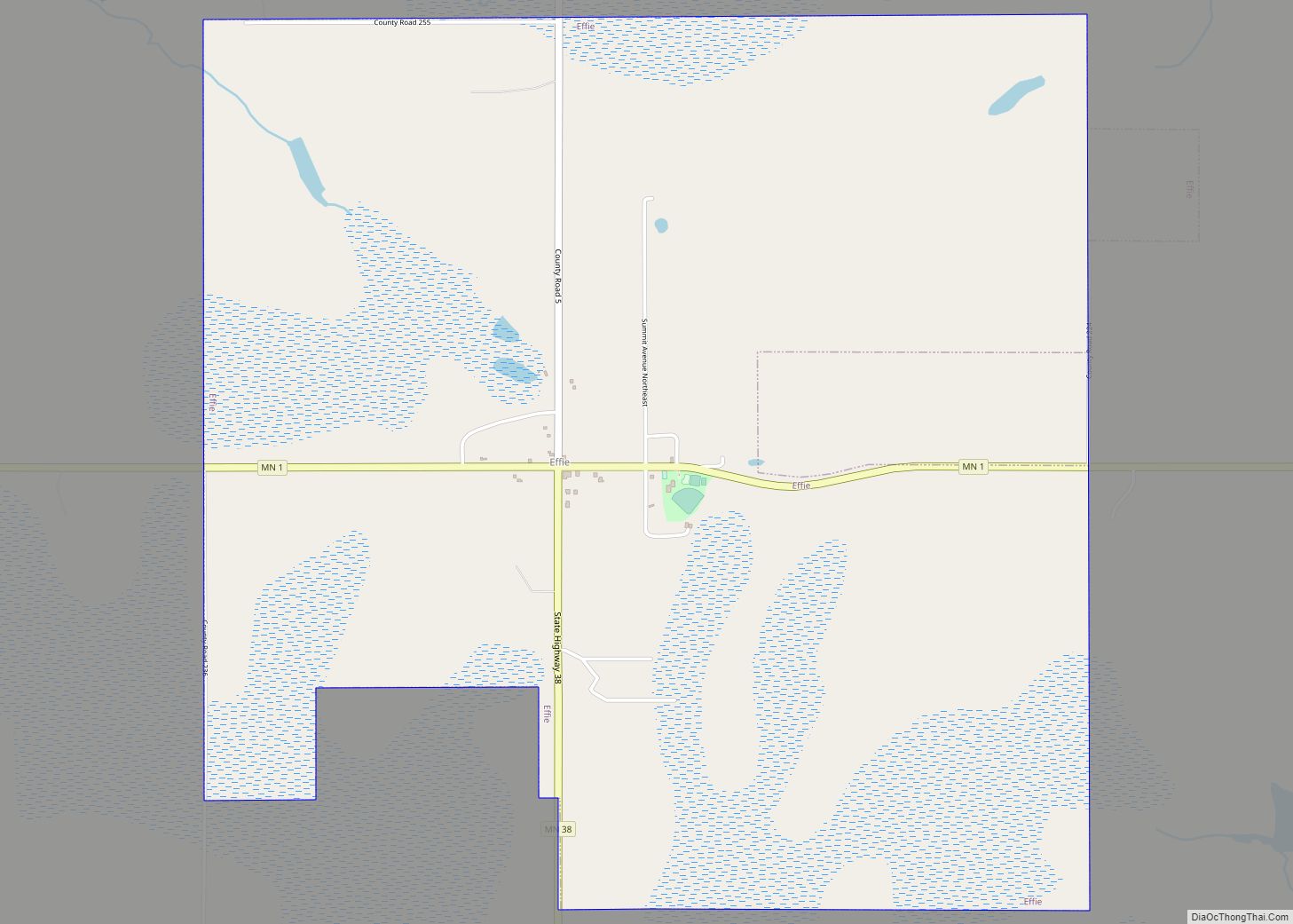
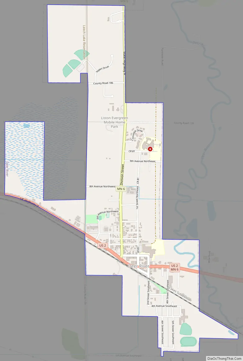
Deer River Road Map
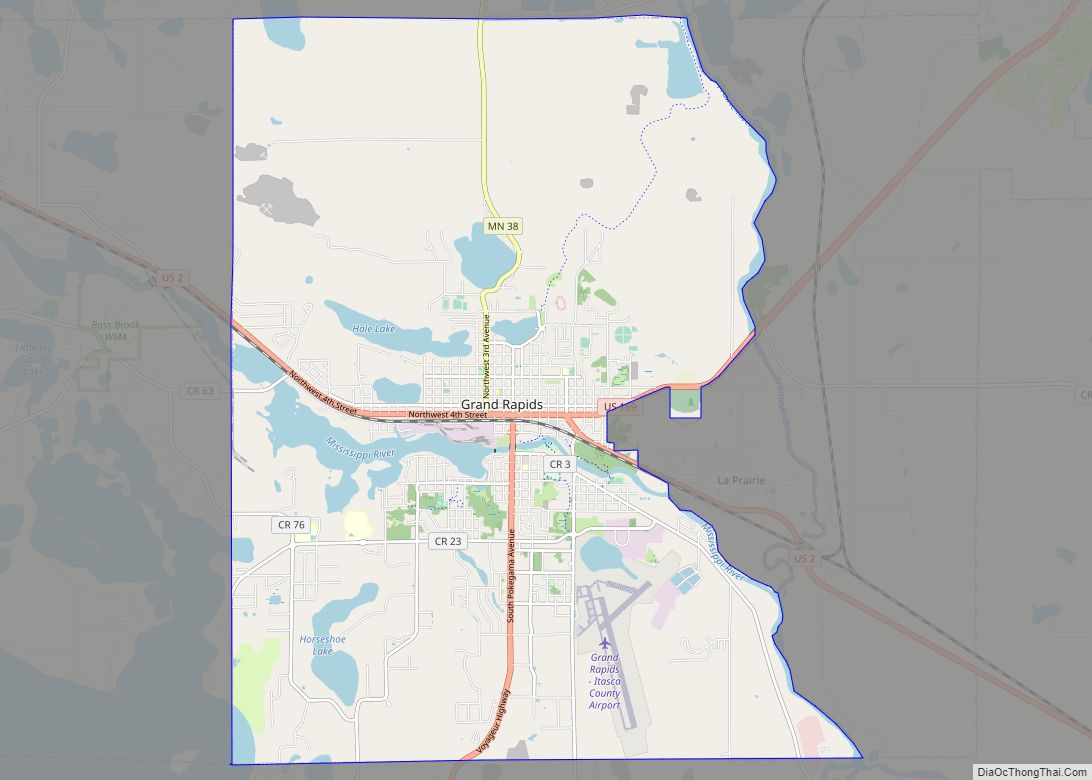
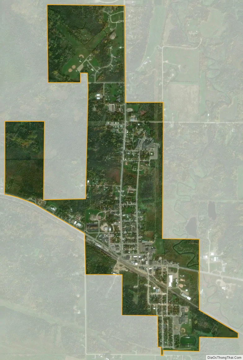
Deer River city Satellite Map
Geography
According to the United States Census Bureau, the city has a total area of 1.29 square miles (3.34 km), all land.
See also
Map of Minnesota State and its subdivision:- Aitkin
- Anoka
- Becker
- Beltrami
- Benton
- Big Stone
- Blue Earth
- Brown
- Carlton
- Carver
- Cass
- Chippewa
- Chisago
- Clay
- Clearwater
- Cook
- Cottonwood
- Crow Wing
- Dakota
- Dodge
- Douglas
- Faribault
- Fillmore
- Freeborn
- Goodhue
- Grant
- Hennepin
- Houston
- Hubbard
- Isanti
- Itasca
- Jackson
- Kanabec
- Kandiyohi
- Kittson
- Koochiching
- Lac qui Parle
- Lake
- Lake of the Woods
- Lake Superior
- Le Sueur
- Lincoln
- Lyon
- Mahnomen
- Marshall
- Martin
- McLeod
- Meeker
- Mille Lacs
- Morrison
- Mower
- Murray
- Nicollet
- Nobles
- Norman
- Olmsted
- Otter Tail
- Pennington
- Pine
- Pipestone
- Polk
- Pope
- Ramsey
- Red Lake
- Redwood
- Renville
- Rice
- Rock
- Roseau
- Saint Louis
- Scott
- Sherburne
- Sibley
- Stearns
- Steele
- Stevens
- Swift
- Todd
- Traverse
- Wabasha
- Wadena
- Waseca
- Washington
- Watonwan
- Wilkin
- Winona
- Wright
- Yellow Medicine
- Alabama
- Alaska
- Arizona
- Arkansas
- California
- Colorado
- Connecticut
- Delaware
- District of Columbia
- Florida
- Georgia
- Hawaii
- Idaho
- Illinois
- Indiana
- Iowa
- Kansas
- Kentucky
- Louisiana
- Maine
- Maryland
- Massachusetts
- Michigan
- Minnesota
- Mississippi
- Missouri
- Montana
- Nebraska
- Nevada
- New Hampshire
- New Jersey
- New Mexico
- New York
- North Carolina
- North Dakota
- Ohio
- Oklahoma
- Oregon
- Pennsylvania
- Rhode Island
- South Carolina
- South Dakota
- Tennessee
- Texas
- Utah
- Vermont
- Virginia
- Washington
- West Virginia
- Wisconsin
- Wyoming