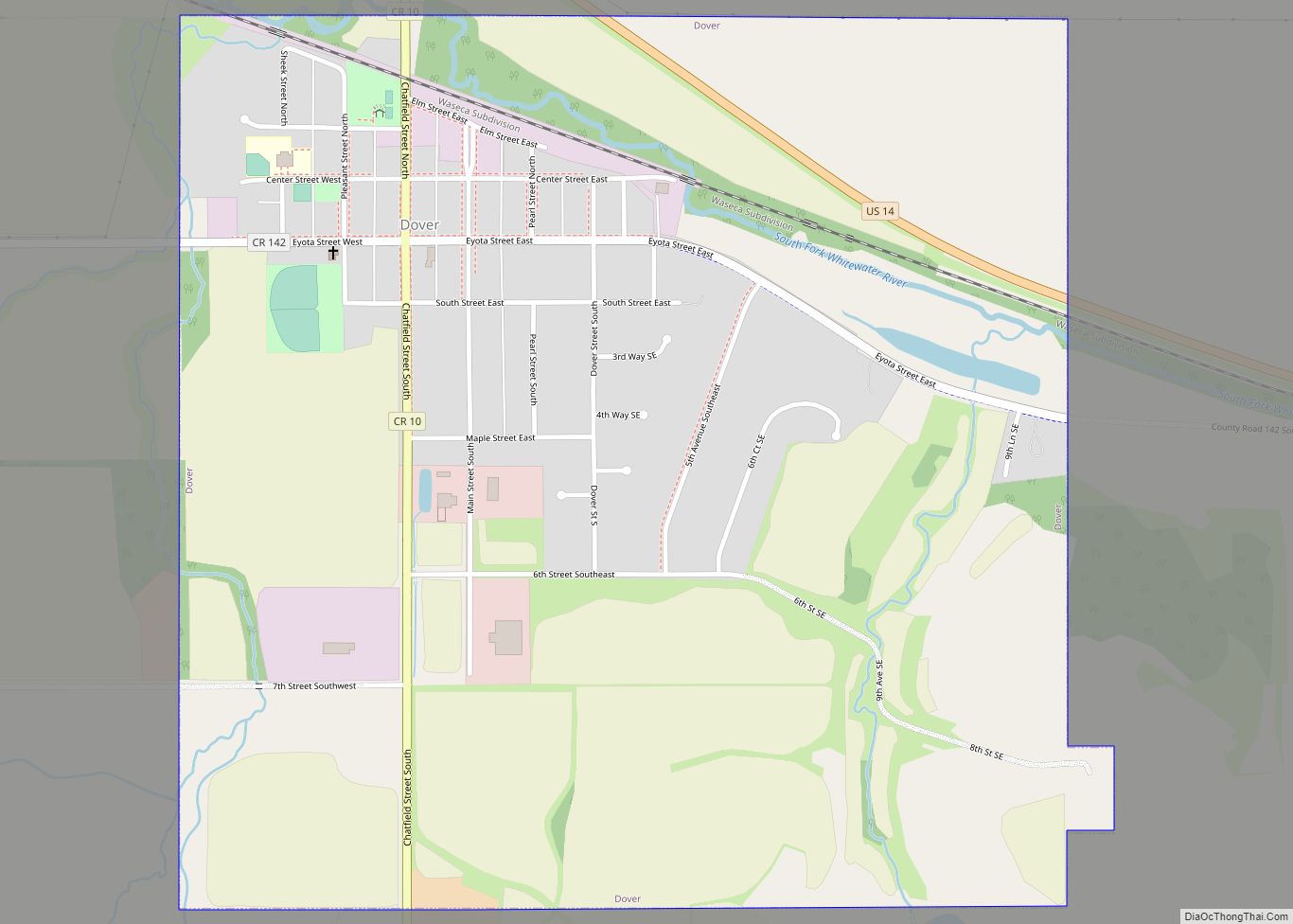
Dover is a city in Olmsted County, Minnesota, United States. The population was 735 at the 2010 census.
| Name: | Dover city |
|---|---|
| LSAD Code: | 25 |
| LSAD Description: | city (suffix) |
| State: | Minnesota |
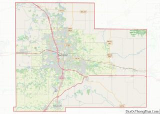
| County: | Olmsted County |
| Elevation: | 1,155 ft (352 m) |
| Total Area: | 1.00 sq mi (2.60 km²) |
| Land Area: | 1.00 sq mi (2.60 km²) |
| Water Area: | 0.00 sq mi (0.00 km²) |
| Total Population: | 782 |
| Population Density: | 778.88/sq mi (300.61/km²) |
| ZIP code: | 55929 |
| Area code: | 507 |
| FIPS code: | 2716264 |
| GNISfeature ID: | 0642910 |
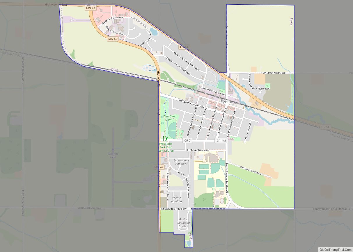
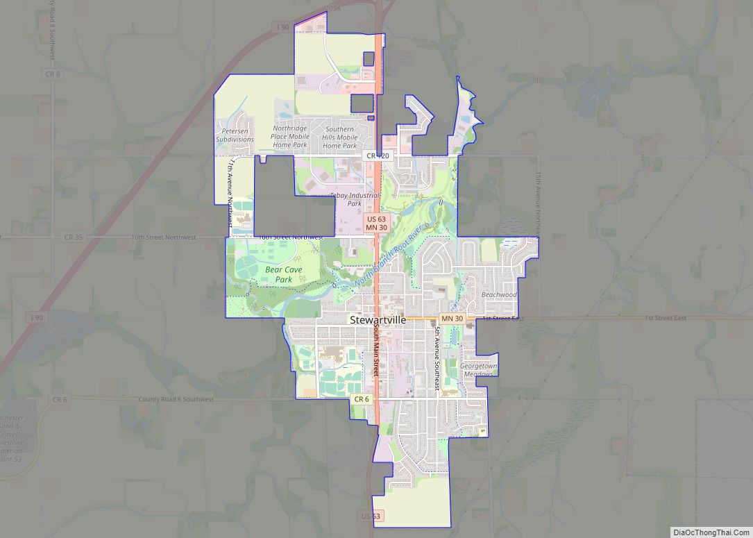
Online Interactive Map
Click on ![]() to view map in "full screen" mode.
to view map in "full screen" mode.
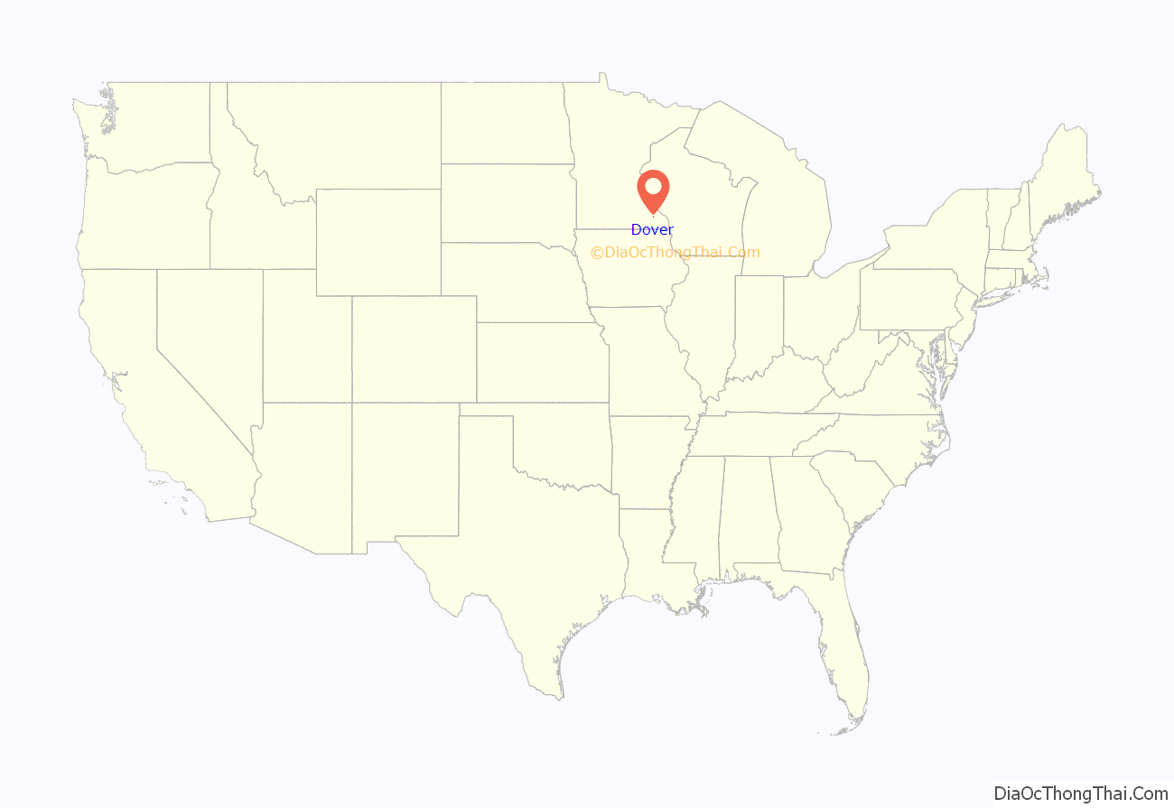
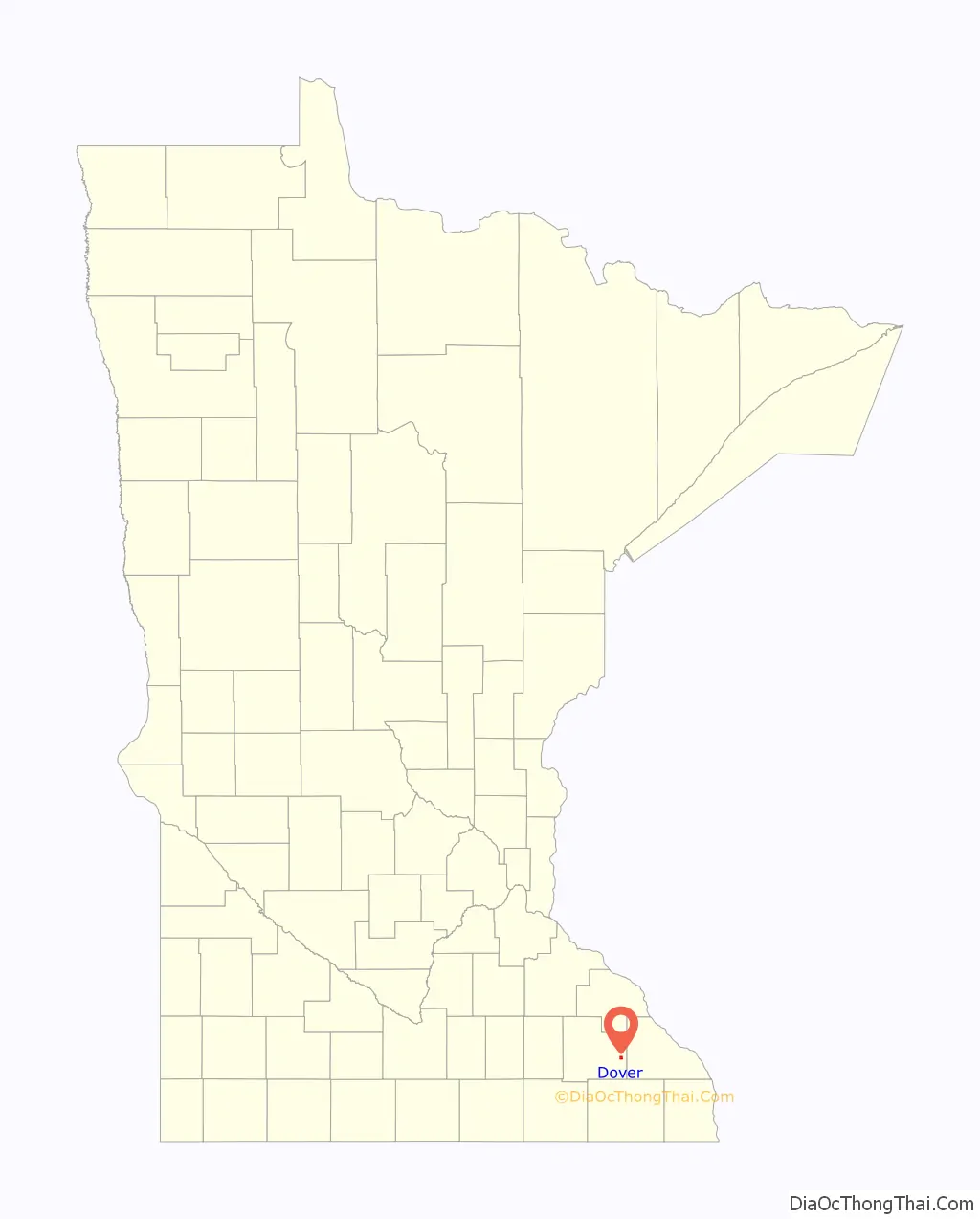
Dover location map. Where is Dover city?
History
An early name of Dover was Dover Center, so named from its location near the geographical center of Dover Township. Dover was platted in 1869.
Dover Road Map
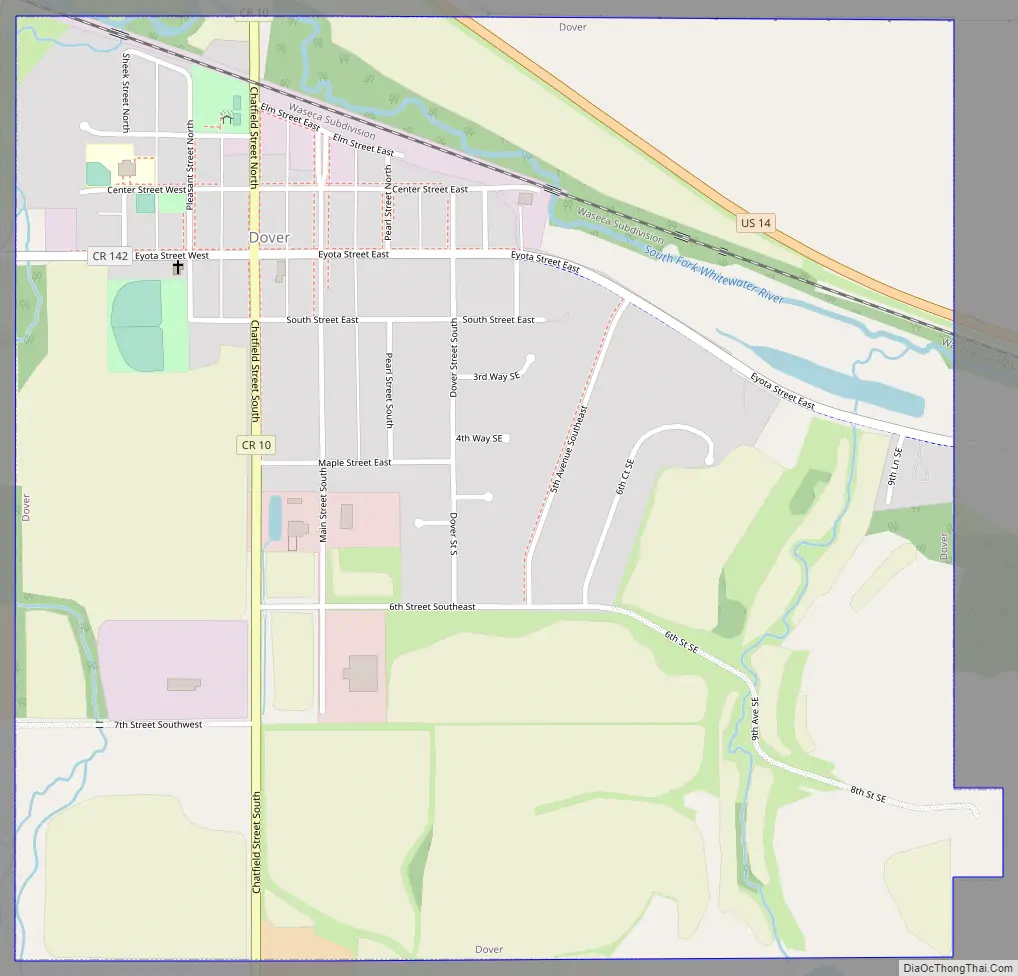
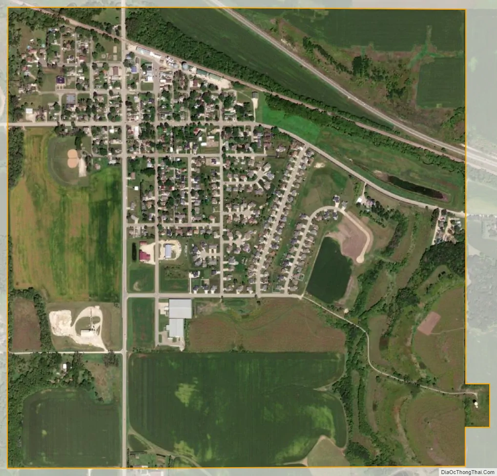
Dover city Satellite Map
Geography
According to the United States Census Bureau, the city has a total area of 1.00 square mile (2.59 km), all land.
The south branch of the Whitewater River passes through the northern edge of the city.
U.S. Route 14 is the main route serving the community. Interstate 90 is immediately south of the city.
See also
Map of Minnesota State and its subdivision:- Aitkin
- Anoka
- Becker
- Beltrami
- Benton
- Big Stone
- Blue Earth
- Brown
- Carlton
- Carver
- Cass
- Chippewa
- Chisago
- Clay
- Clearwater
- Cook
- Cottonwood
- Crow Wing
- Dakota
- Dodge
- Douglas
- Faribault
- Fillmore
- Freeborn
- Goodhue
- Grant
- Hennepin
- Houston
- Hubbard
- Isanti
- Itasca
- Jackson
- Kanabec
- Kandiyohi
- Kittson
- Koochiching
- Lac qui Parle
- Lake
- Lake of the Woods
- Lake Superior
- Le Sueur
- Lincoln
- Lyon
- Mahnomen
- Marshall
- Martin
- McLeod
- Meeker
- Mille Lacs
- Morrison
- Mower
- Murray
- Nicollet
- Nobles
- Norman
- Olmsted
- Otter Tail
- Pennington
- Pine
- Pipestone
- Polk
- Pope
- Ramsey
- Red Lake
- Redwood
- Renville
- Rice
- Rock
- Roseau
- Saint Louis
- Scott
- Sherburne
- Sibley
- Stearns
- Steele
- Stevens
- Swift
- Todd
- Traverse
- Wabasha
- Wadena
- Waseca
- Washington
- Watonwan
- Wilkin
- Winona
- Wright
- Yellow Medicine
- Alabama
- Alaska
- Arizona
- Arkansas
- California
- Colorado
- Connecticut
- Delaware
- District of Columbia
- Florida
- Georgia
- Hawaii
- Idaho
- Illinois
- Indiana
- Iowa
- Kansas
- Kentucky
- Louisiana
- Maine
- Maryland
- Massachusetts
- Michigan
- Minnesota
- Mississippi
- Missouri
- Montana
- Nebraska
- Nevada
- New Hampshire
- New Jersey
- New Mexico
- New York
- North Carolina
- North Dakota
- Ohio
- Oklahoma
- Oregon
- Pennsylvania
- Rhode Island
- South Carolina
- South Dakota
- Tennessee
- Texas
- Utah
- Vermont
- Virginia
- Washington
- West Virginia
- Wisconsin
- Wyoming