Eagle Bend is a city in Todd County, Minnesota, United States. The population was 535 at the 2010 census.
| Name: | Eagle Bend city |
|---|---|
| LSAD Code: | 25 |
| LSAD Description: | city (suffix) |
| State: | Minnesota |
| County: | Todd County |
| Elevation: | 1,368 ft (417 m) |
| Total Area: | 1.35 sq mi (3.50 km²) |
| Land Area: | 1.35 sq mi (3.50 km²) |
| Water Area: | 0.00 sq mi (0.00 km²) |
| Total Population: | 546 |
| Population Density: | 404.44/sq mi (156.14/km²) |
| ZIP code: | 56446 |
| Area code: | 218 |
| FIPS code: | 2717342 |
| GNISfeature ID: | 0643006 |
Online Interactive Map
Click on ![]() to view map in "full screen" mode.
to view map in "full screen" mode.
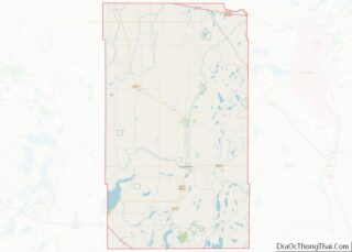
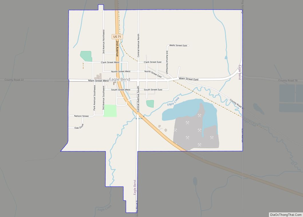
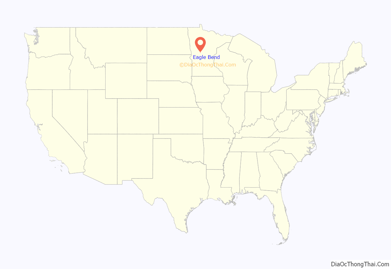
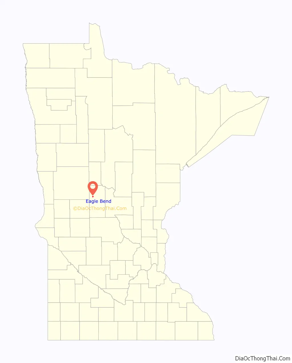
Eagle Bend location map. Where is Eagle Bend city?
History
Eagle Bend was first settled in the early 1880s. The first pioneers were Charles O’Dell, a merchant, and Marion Crider, a homesteader from eastern Kentucky. When O’Dell opened his general store, his first customer was Crider, who bought a pound of coffee. The townsite was purchased by a railroad executive, Benjamin F. Abbott, who wished to change the name of the town to Abbottsville; however, sensibility prevailed and the evocative name of Eagle Bend was retained. The post office was established in O’Dell’s store in 1882, and the village was incorporated on January 21, 1890.
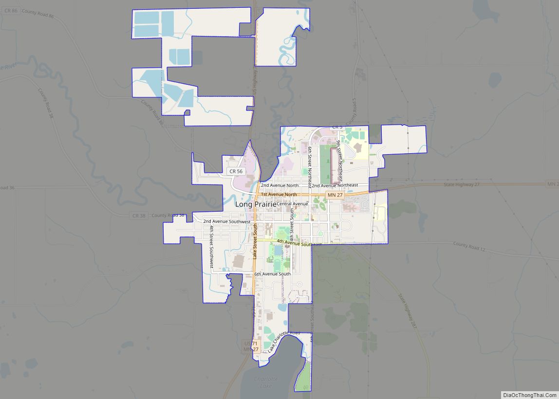
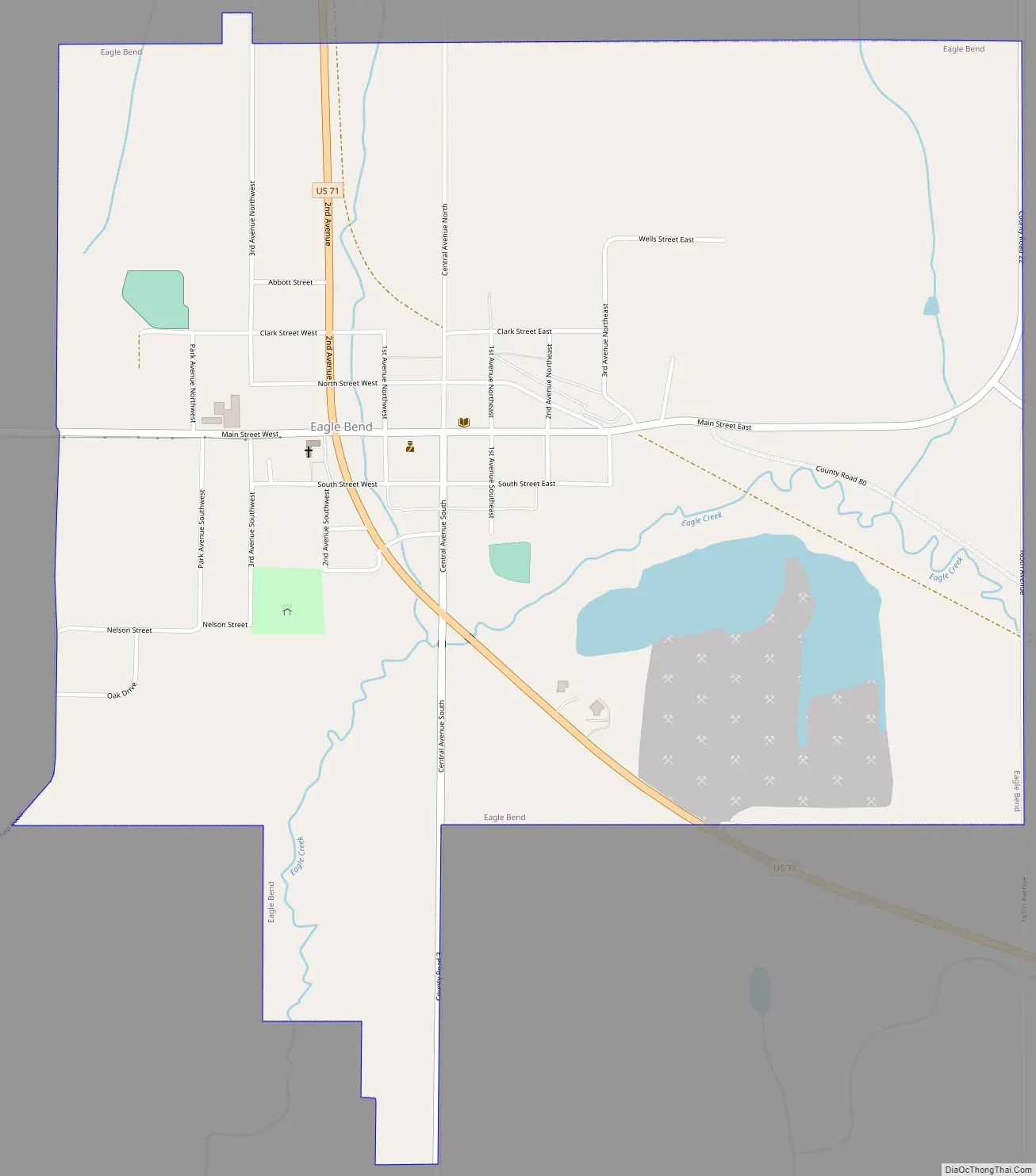
Eagle Bend Road Map
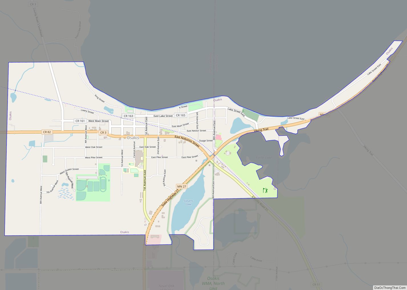
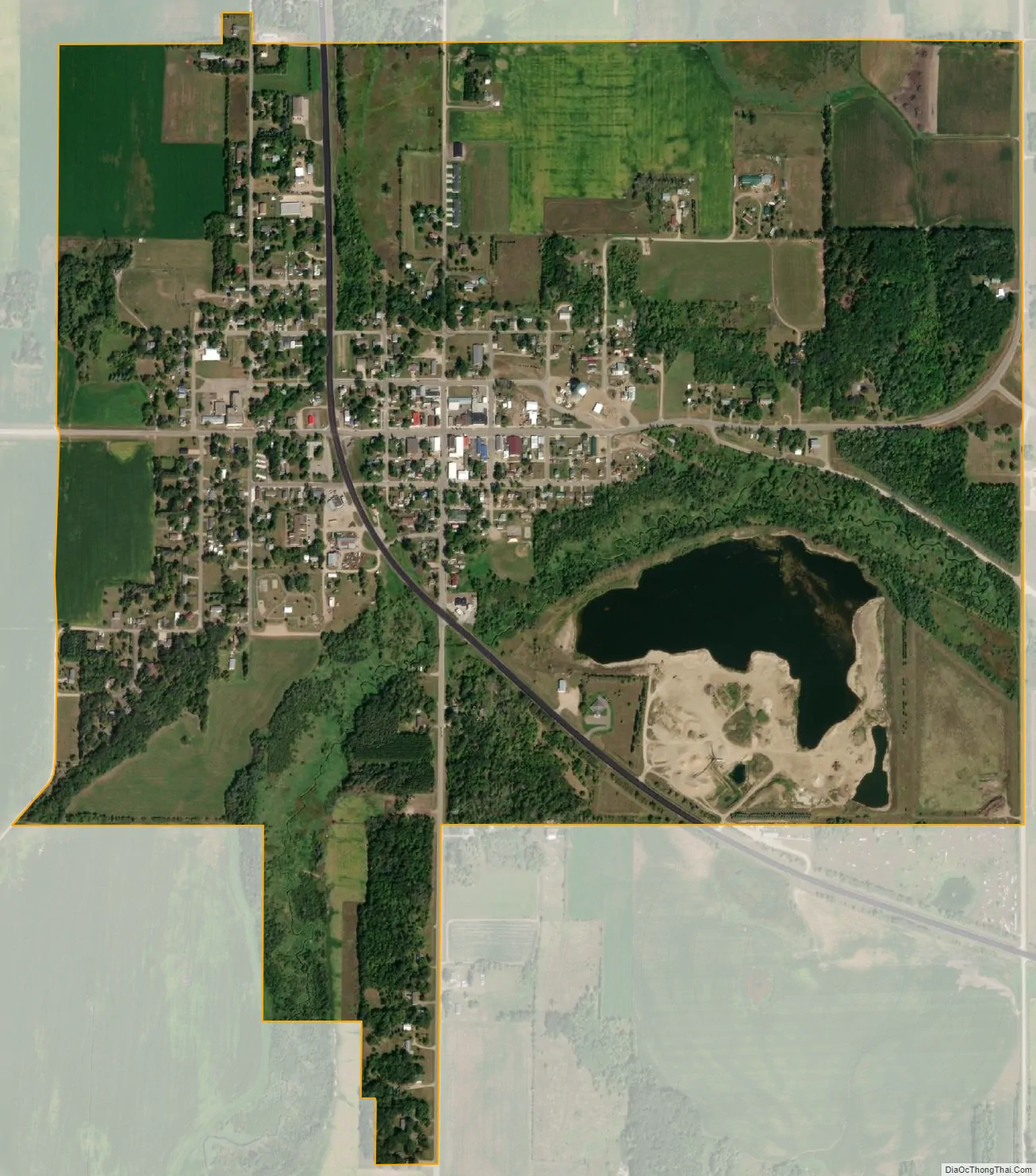
Eagle Bend city Satellite Map
Geography
According to the United States Census Bureau, the city has a total area of 1.35 square miles (3.50 km), all land. The village is located at a bend of Eagle Creek. Eagle Creek drains Harris Creek, and in turn flows into Long Prairie River.
See also
Map of Minnesota State and its subdivision:- Aitkin
- Anoka
- Becker
- Beltrami
- Benton
- Big Stone
- Blue Earth
- Brown
- Carlton
- Carver
- Cass
- Chippewa
- Chisago
- Clay
- Clearwater
- Cook
- Cottonwood
- Crow Wing
- Dakota
- Dodge
- Douglas
- Faribault
- Fillmore
- Freeborn
- Goodhue
- Grant
- Hennepin
- Houston
- Hubbard
- Isanti
- Itasca
- Jackson
- Kanabec
- Kandiyohi
- Kittson
- Koochiching
- Lac qui Parle
- Lake
- Lake of the Woods
- Lake Superior
- Le Sueur
- Lincoln
- Lyon
- Mahnomen
- Marshall
- Martin
- McLeod
- Meeker
- Mille Lacs
- Morrison
- Mower
- Murray
- Nicollet
- Nobles
- Norman
- Olmsted
- Otter Tail
- Pennington
- Pine
- Pipestone
- Polk
- Pope
- Ramsey
- Red Lake
- Redwood
- Renville
- Rice
- Rock
- Roseau
- Saint Louis
- Scott
- Sherburne
- Sibley
- Stearns
- Steele
- Stevens
- Swift
- Todd
- Traverse
- Wabasha
- Wadena
- Waseca
- Washington
- Watonwan
- Wilkin
- Winona
- Wright
- Yellow Medicine
- Alabama
- Alaska
- Arizona
- Arkansas
- California
- Colorado
- Connecticut
- Delaware
- District of Columbia
- Florida
- Georgia
- Hawaii
- Idaho
- Illinois
- Indiana
- Iowa
- Kansas
- Kentucky
- Louisiana
- Maine
- Maryland
- Massachusetts
- Michigan
- Minnesota
- Mississippi
- Missouri
- Montana
- Nebraska
- Nevada
- New Hampshire
- New Jersey
- New Mexico
- New York
- North Carolina
- North Dakota
- Ohio
- Oklahoma
- Oregon
- Pennsylvania
- Rhode Island
- South Carolina
- South Dakota
- Tennessee
- Texas
- Utah
- Vermont
- Virginia
- Washington
- West Virginia
- Wisconsin
- Wyoming