Eitzen is a city in Houston County, Minnesota, United States. The population was 243 at the 2010 census.
| Name: | Eitzen city |
|---|---|
| LSAD Code: | 25 |
| LSAD Description: | city (suffix) |
| State: | Minnesota |
| County: | Houston County |
| Elevation: | 1,155 ft (352 m) |
| Total Area: | 0.61 sq mi (1.58 km²) |
| Land Area: | 0.61 sq mi (1.58 km²) |
| Water Area: | 0.00 sq mi (0.00 km²) |
| Total Population: | 279 |
| Population Density: | 457.38/sq mi (176.69/km²) |
| ZIP code: | 55931 |
| Area code: | 507 |
| FIPS code: | 2718368 |
| GNISfeature ID: | 0643220 |
| Website: | www.eitzenmn.com |
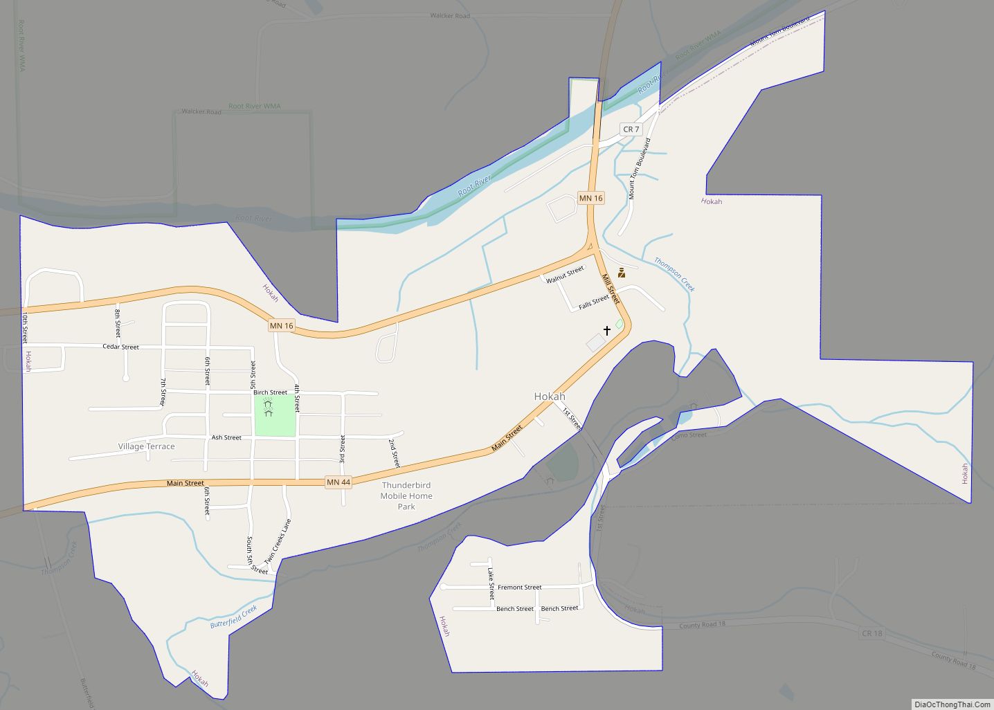
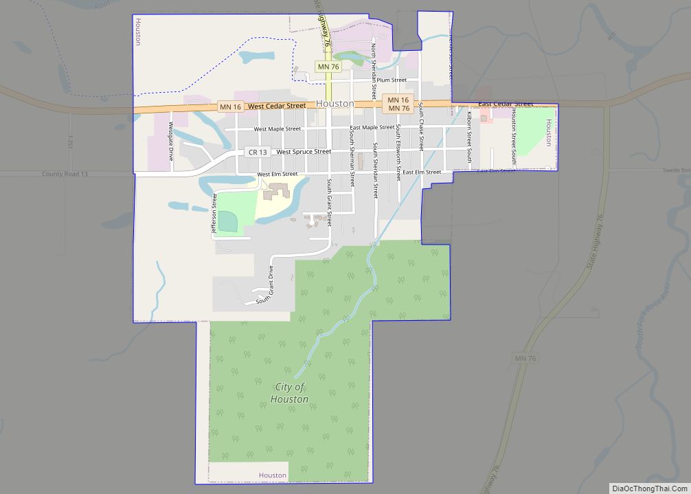
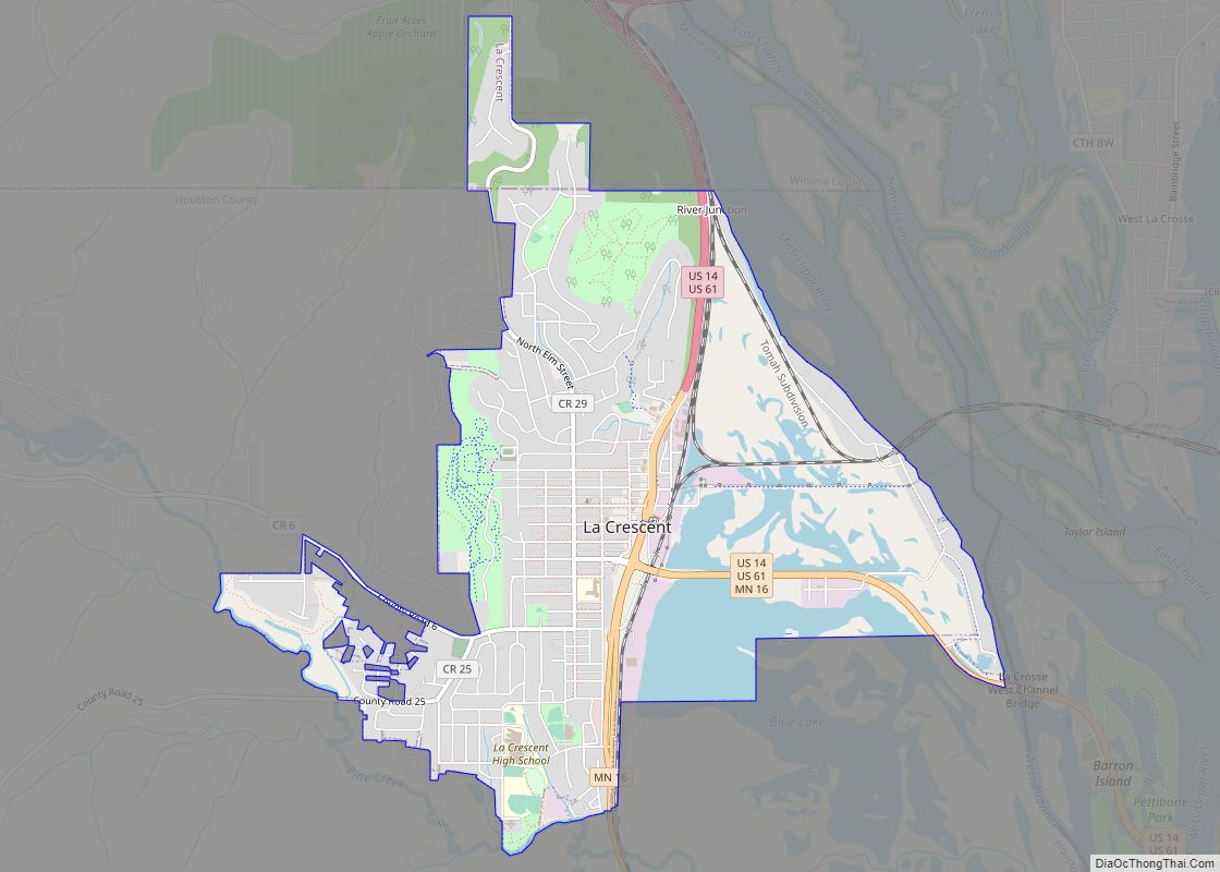
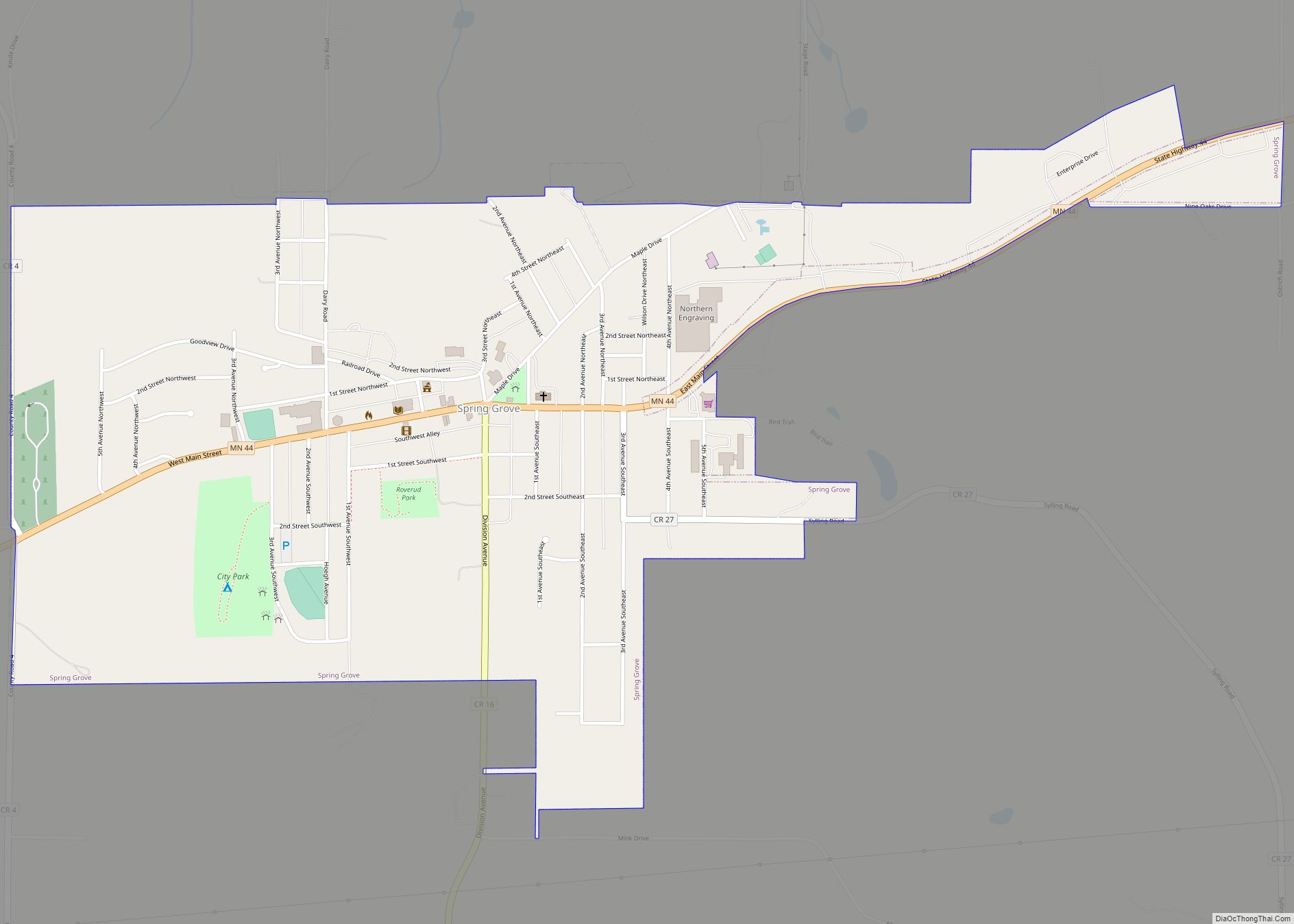
Online Interactive Map
Click on ![]() to view map in "full screen" mode.
to view map in "full screen" mode.
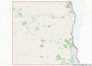
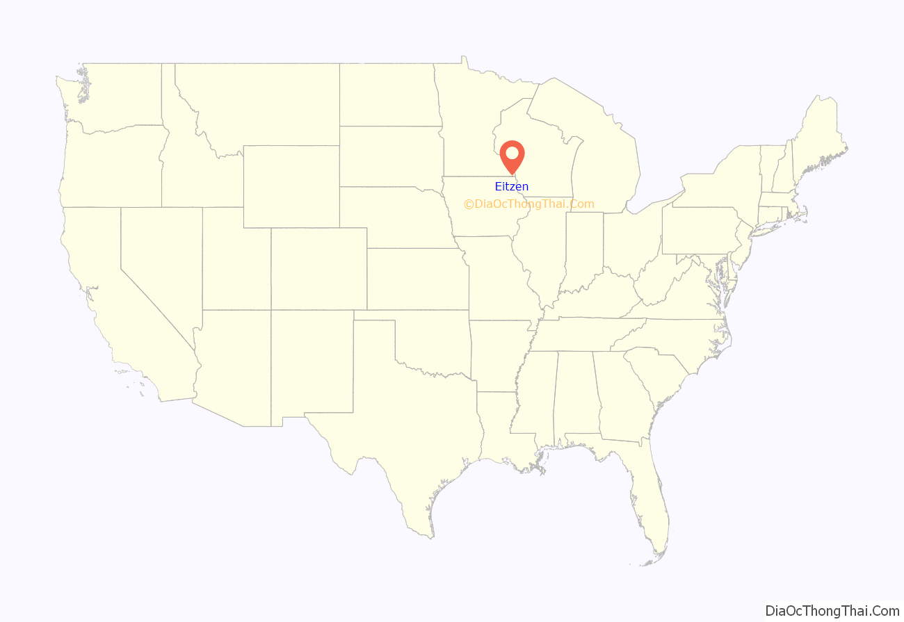
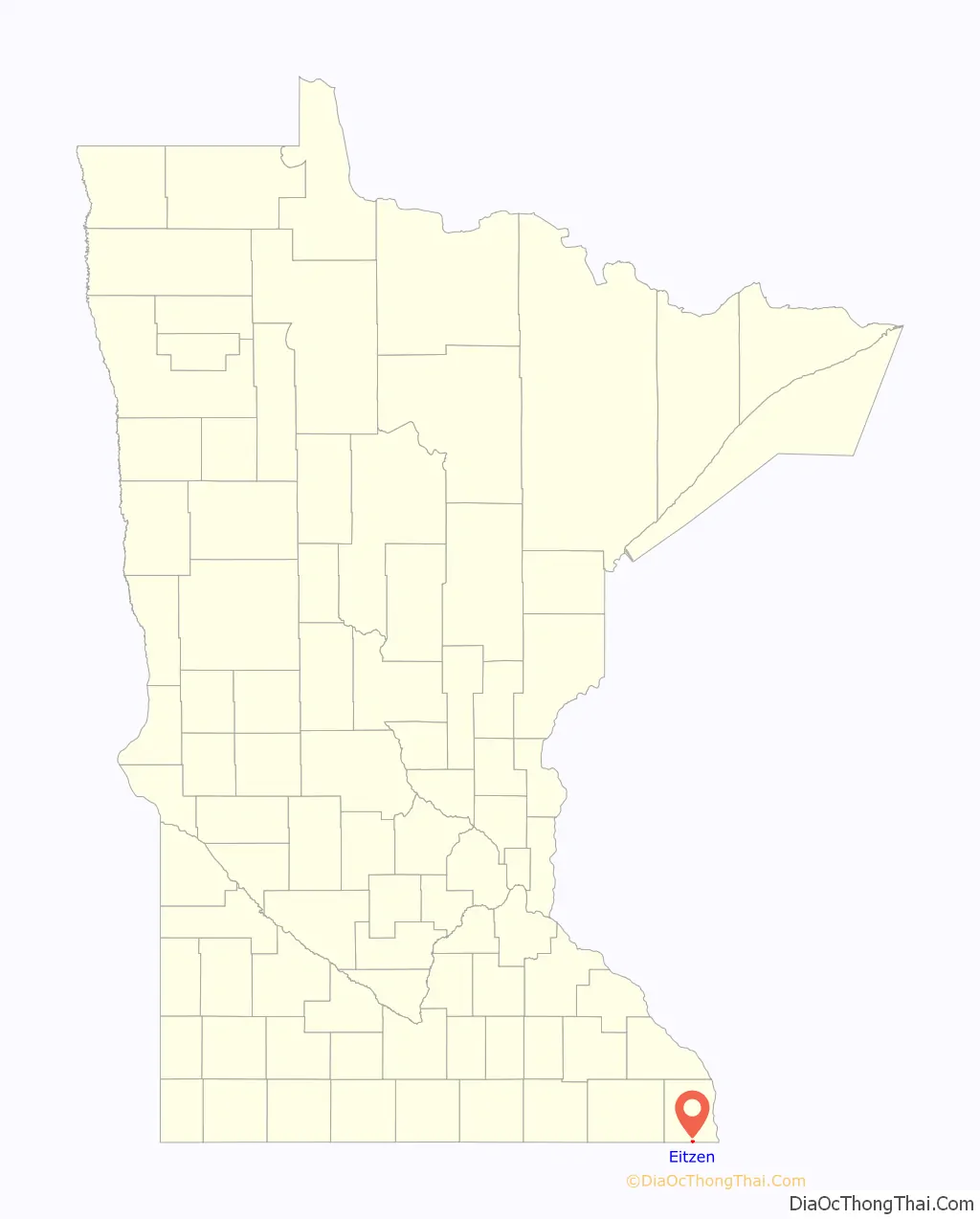
Eitzen location map. Where is Eitzen city?
History
A post office called Eitzen has been in operation since 1868. A share of the early settlers being natives of Eitzen, Germany, caused the name to be selected.
In September 2020, while visiting randomly selected households in Eitzen, a group of CDC officials claimed to have been confronted, and to have had their cars surrounded, by residents of houses who did not believe they were who they claimed to be; the incident was one of several that led to the discontinuation of the program. This account was disputed by mayor Jeff Adamson, who claimed the city was never informed about the plan to approach random households, and said “I think they owe the city of Eitzen and its citizens an apology”. He further said that “a city official and two other residents responded to concerns about people going door-to-door in an unmarked car with California plates […] Two vehicles driven by the city official and residents were parked on either side of the COVID-19 team’s vehicle, but it was never blocked.”
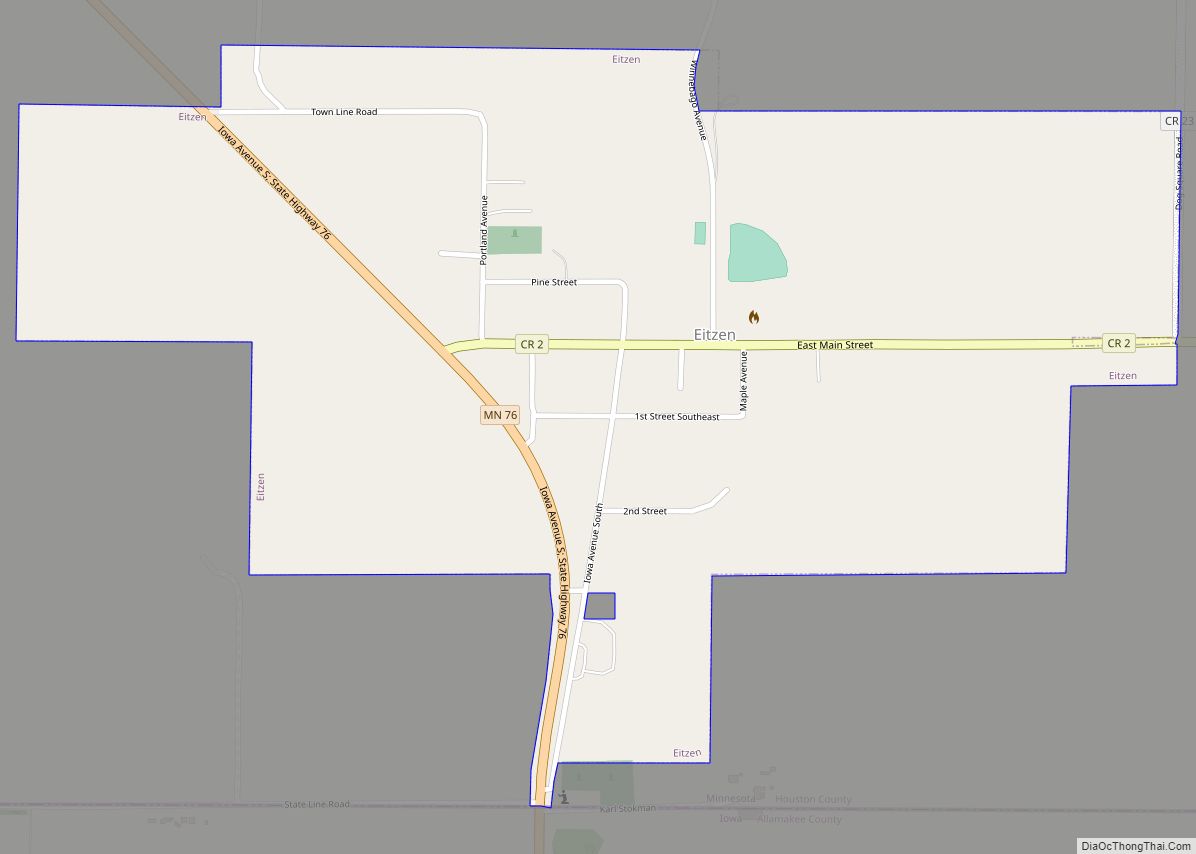
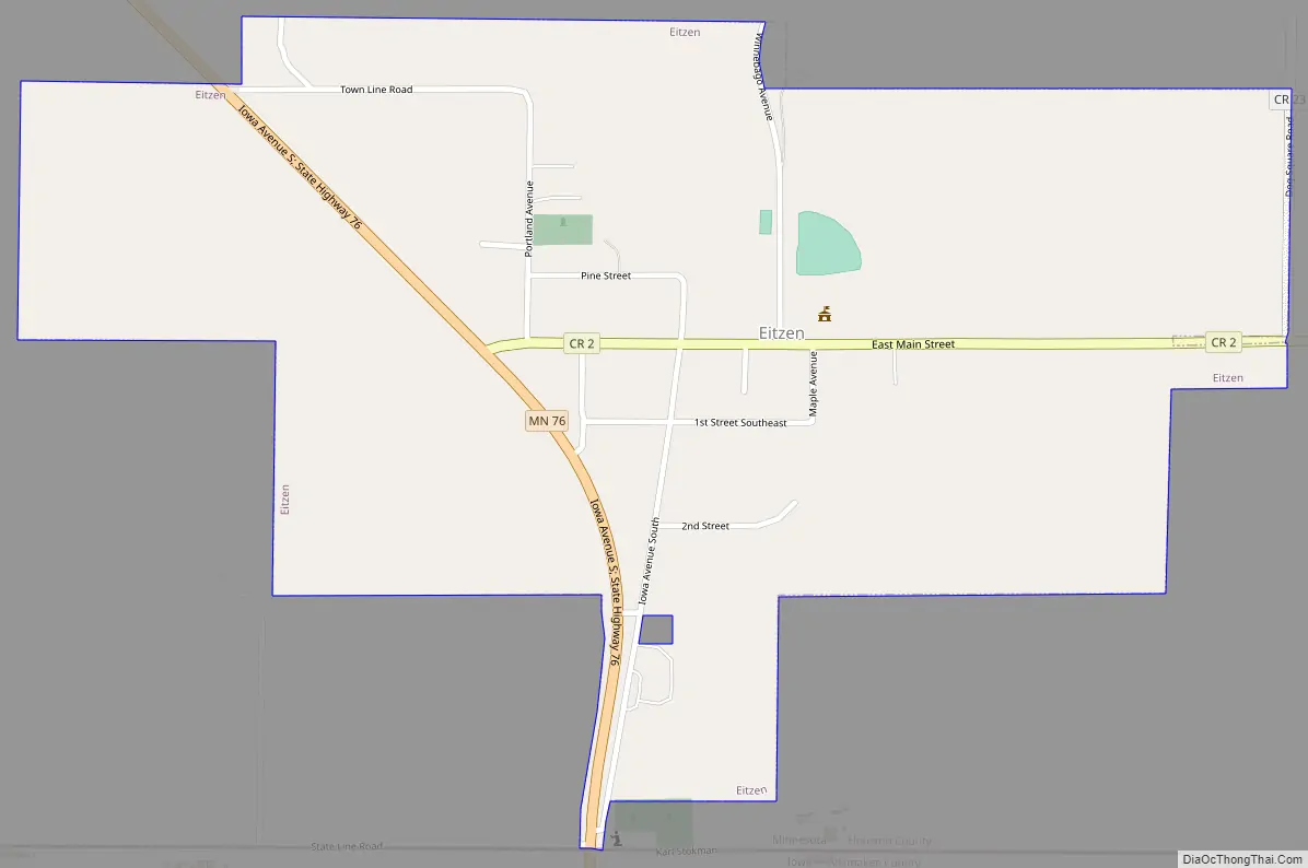
Eitzen Road Map
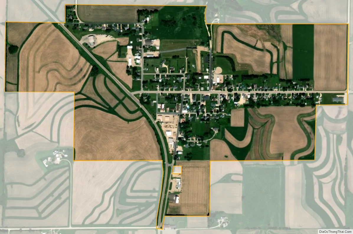
Eitzen city Satellite Map
Geography
According to the United States Census Bureau, the city has a total area of 0.58 square miles (1.50 km), all land.
See also
Map of Minnesota State and its subdivision:- Aitkin
- Anoka
- Becker
- Beltrami
- Benton
- Big Stone
- Blue Earth
- Brown
- Carlton
- Carver
- Cass
- Chippewa
- Chisago
- Clay
- Clearwater
- Cook
- Cottonwood
- Crow Wing
- Dakota
- Dodge
- Douglas
- Faribault
- Fillmore
- Freeborn
- Goodhue
- Grant
- Hennepin
- Houston
- Hubbard
- Isanti
- Itasca
- Jackson
- Kanabec
- Kandiyohi
- Kittson
- Koochiching
- Lac qui Parle
- Lake
- Lake of the Woods
- Lake Superior
- Le Sueur
- Lincoln
- Lyon
- Mahnomen
- Marshall
- Martin
- McLeod
- Meeker
- Mille Lacs
- Morrison
- Mower
- Murray
- Nicollet
- Nobles
- Norman
- Olmsted
- Otter Tail
- Pennington
- Pine
- Pipestone
- Polk
- Pope
- Ramsey
- Red Lake
- Redwood
- Renville
- Rice
- Rock
- Roseau
- Saint Louis
- Scott
- Sherburne
- Sibley
- Stearns
- Steele
- Stevens
- Swift
- Todd
- Traverse
- Wabasha
- Wadena
- Waseca
- Washington
- Watonwan
- Wilkin
- Winona
- Wright
- Yellow Medicine
- Alabama
- Alaska
- Arizona
- Arkansas
- California
- Colorado
- Connecticut
- Delaware
- District of Columbia
- Florida
- Georgia
- Hawaii
- Idaho
- Illinois
- Indiana
- Iowa
- Kansas
- Kentucky
- Louisiana
- Maine
- Maryland
- Massachusetts
- Michigan
- Minnesota
- Mississippi
- Missouri
- Montana
- Nebraska
- Nevada
- New Hampshire
- New Jersey
- New Mexico
- New York
- North Carolina
- North Dakota
- Ohio
- Oklahoma
- Oregon
- Pennsylvania
- Rhode Island
- South Carolina
- South Dakota
- Tennessee
- Texas
- Utah
- Vermont
- Virginia
- Washington
- West Virginia
- Wisconsin
- Wyoming