Flensburg is a city in Morrison County, Minnesota, United States. The population was 216 at the 2020 census.
| Name: | Flensburg city |
|---|---|
| LSAD Code: | 25 |
| LSAD Description: | city (suffix) |
| State: | Minnesota |
| County: | Morrison County |
| Elevation: | 1,211 ft (369 m) |
| Total Area: | 7.02 sq mi (18.19 km²) |
| Land Area: | 6.98 sq mi (18.08 km²) |
| Water Area: | 0.04 sq mi (0.11 km²) |
| Total Population: | 216 |
| Population Density: | 30.95/sq mi (11.95/km²) |
| ZIP code: | 56328 |
| Area code: | 320 |
| FIPS code: | 2721266 |
| GNISfeature ID: | 0643739 |
Online Interactive Map
Click on ![]() to view map in "full screen" mode.
to view map in "full screen" mode.
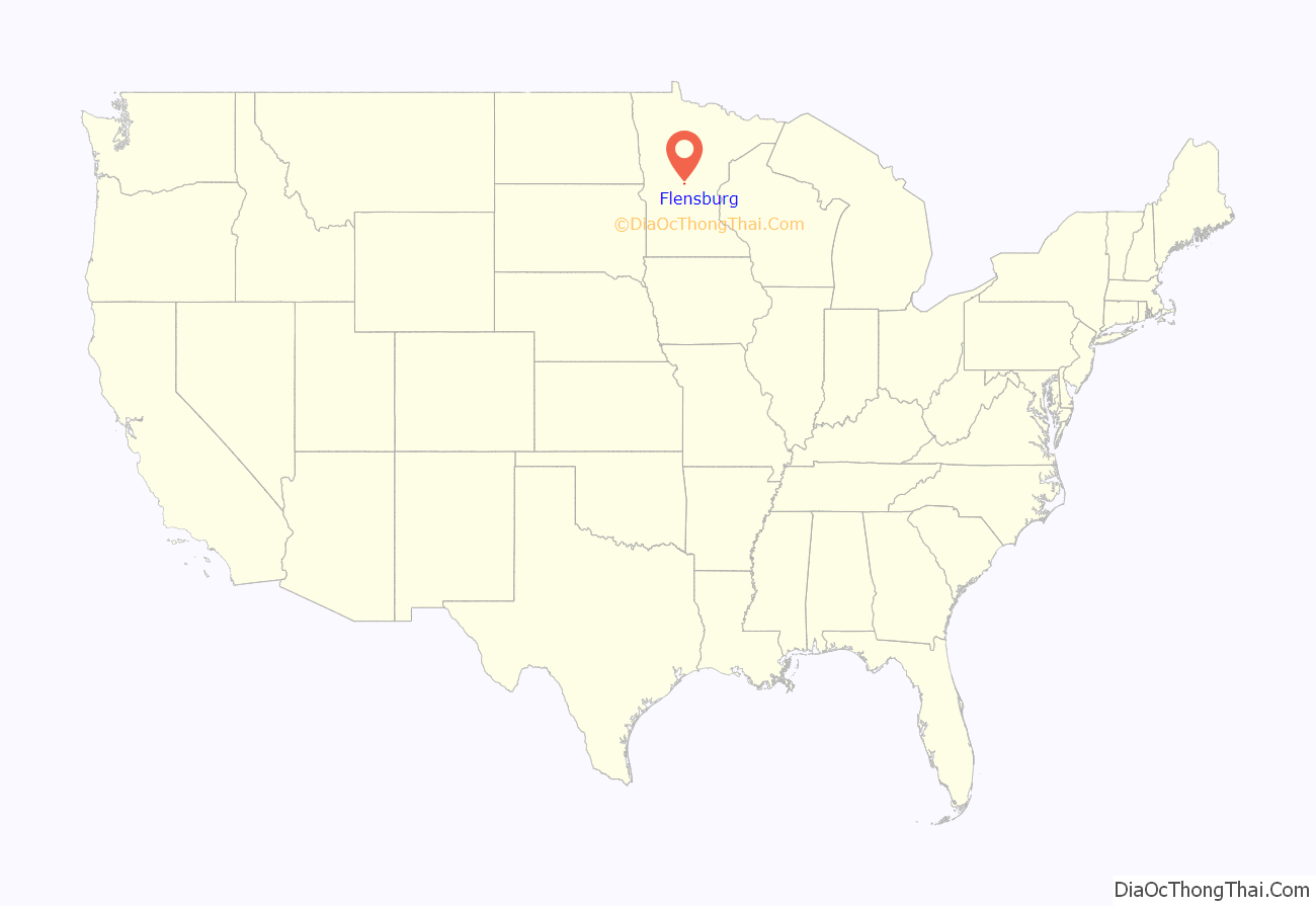
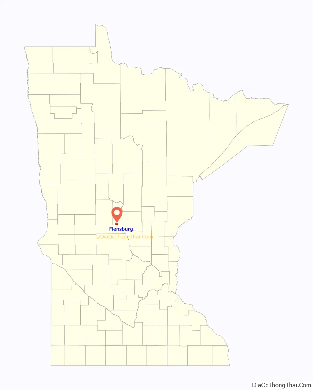
Flensburg location map. Where is Flensburg city?
History
After the Little Falls and Dakota Railroad was completed in 1882, there was a sidetrack to a mill at the site which later became Flensburg Village. The mill was called Flen’s Landing or Flynn’s Siding, with a depot and named for J. C. Flynn of Little Falls. Flynn was a teacher in the Little Falls schools in the late 1870s. Later, Flynn was an inspector for the Northern Pacific Railroad and a representative in the state legislature. He was also instrumental in developing the Little Falls & Dakota (L.F.& D.) railroad which ran through the future town of Flensburg.
Flensburg was platted in March 1890 by Olaf and Dagmar Searle. The post office began in 1892 and Flensburg was incorporated on June 17, 1911. Flensburg received its name in 1892 and the local newspapers, the Little Falls Weekly Tribune and Little Falls Herald, began using that name about that time. However, a brief item in the April 7, 1893 edition of the Little Falls Transcript states, “The name of Flynn station, on the L.F.& D., has been changed to Flensburg, to take effect on April 1, 1893.” No further explanation was given.
One theory is that Flensburg may have been named after the German town of Flensburg, a seaport in the German state of Schleswig-Holstein. However, many land owner surnames were Polish in the 1892 Culdrum Township Plat Book of the Flensburg area and it seems unlikely they would have chosen the name of a distant German seaport for their new town. Since “burg” simply means CASTLE it would be reasonable to name the new town Flynnsburg, or the shorter version Flensburg, since the name “Flen’s Landing” was also in use for Flynn Station.
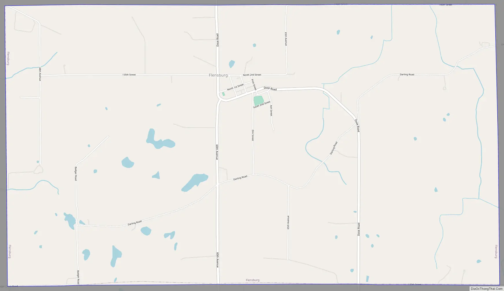
Flensburg Road Map
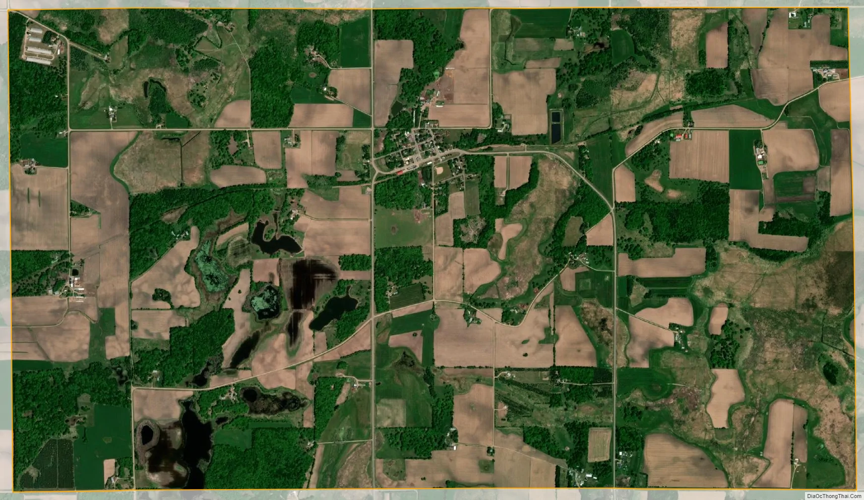
Flensburg city Satellite Map
Geography
According to the United States Census Bureau, the city has a total area of 7.01 square miles (18.16 km), of which 6.97 square miles (18.05 km) is land and 0.04 square miles (0.10 km) is water.
See also
Map of Minnesota State and its subdivision:- Aitkin
- Anoka
- Becker
- Beltrami
- Benton
- Big Stone
- Blue Earth
- Brown
- Carlton
- Carver
- Cass
- Chippewa
- Chisago
- Clay
- Clearwater
- Cook
- Cottonwood
- Crow Wing
- Dakota
- Dodge
- Douglas
- Faribault
- Fillmore
- Freeborn
- Goodhue
- Grant
- Hennepin
- Houston
- Hubbard
- Isanti
- Itasca
- Jackson
- Kanabec
- Kandiyohi
- Kittson
- Koochiching
- Lac qui Parle
- Lake
- Lake of the Woods
- Lake Superior
- Le Sueur
- Lincoln
- Lyon
- Mahnomen
- Marshall
- Martin
- McLeod
- Meeker
- Mille Lacs
- Morrison
- Mower
- Murray
- Nicollet
- Nobles
- Norman
- Olmsted
- Otter Tail
- Pennington
- Pine
- Pipestone
- Polk
- Pope
- Ramsey
- Red Lake
- Redwood
- Renville
- Rice
- Rock
- Roseau
- Saint Louis
- Scott
- Sherburne
- Sibley
- Stearns
- Steele
- Stevens
- Swift
- Todd
- Traverse
- Wabasha
- Wadena
- Waseca
- Washington
- Watonwan
- Wilkin
- Winona
- Wright
- Yellow Medicine
- Alabama
- Alaska
- Arizona
- Arkansas
- California
- Colorado
- Connecticut
- Delaware
- District of Columbia
- Florida
- Georgia
- Hawaii
- Idaho
- Illinois
- Indiana
- Iowa
- Kansas
- Kentucky
- Louisiana
- Maine
- Maryland
- Massachusetts
- Michigan
- Minnesota
- Mississippi
- Missouri
- Montana
- Nebraska
- Nevada
- New Hampshire
- New Jersey
- New Mexico
- New York
- North Carolina
- North Dakota
- Ohio
- Oklahoma
- Oregon
- Pennsylvania
- Rhode Island
- South Carolina
- South Dakota
- Tennessee
- Texas
- Utah
- Vermont
- Virginia
- Washington
- West Virginia
- Wisconsin
- Wyoming


