Forada is a city in Douglas County, Minnesota, United States. The population was 170 at the 2020 census.
| Name: | Forada city |
|---|---|
| LSAD Code: | 25 |
| LSAD Description: | city (suffix) |
| State: | Minnesota |
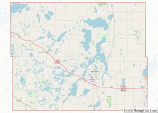
| County: | Douglas County |
| Elevation: | 1,414 ft (431 m) |
| Total Area: | 0.54 sq mi (1.41 km²) |
| Land Area: | 0.54 sq mi (1.39 km²) |
| Water Area: | 0.01 sq mi (0.02 km²) |
| Total Population: | 170 |
| Population Density: | 316.57/sq mi (122.18/km²) |
| ZIP code: | 56308 |
| FIPS code: | 2721608 |
| GNISfeature ID: | 0643791 |
| Website: | foradadays.com |
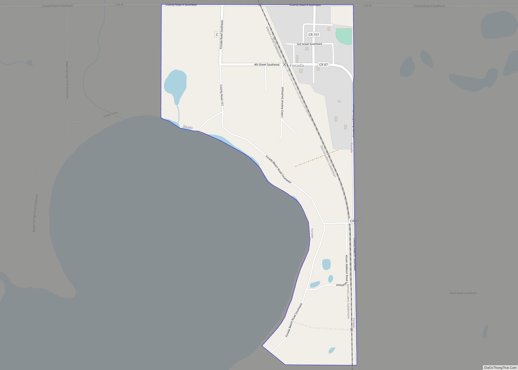
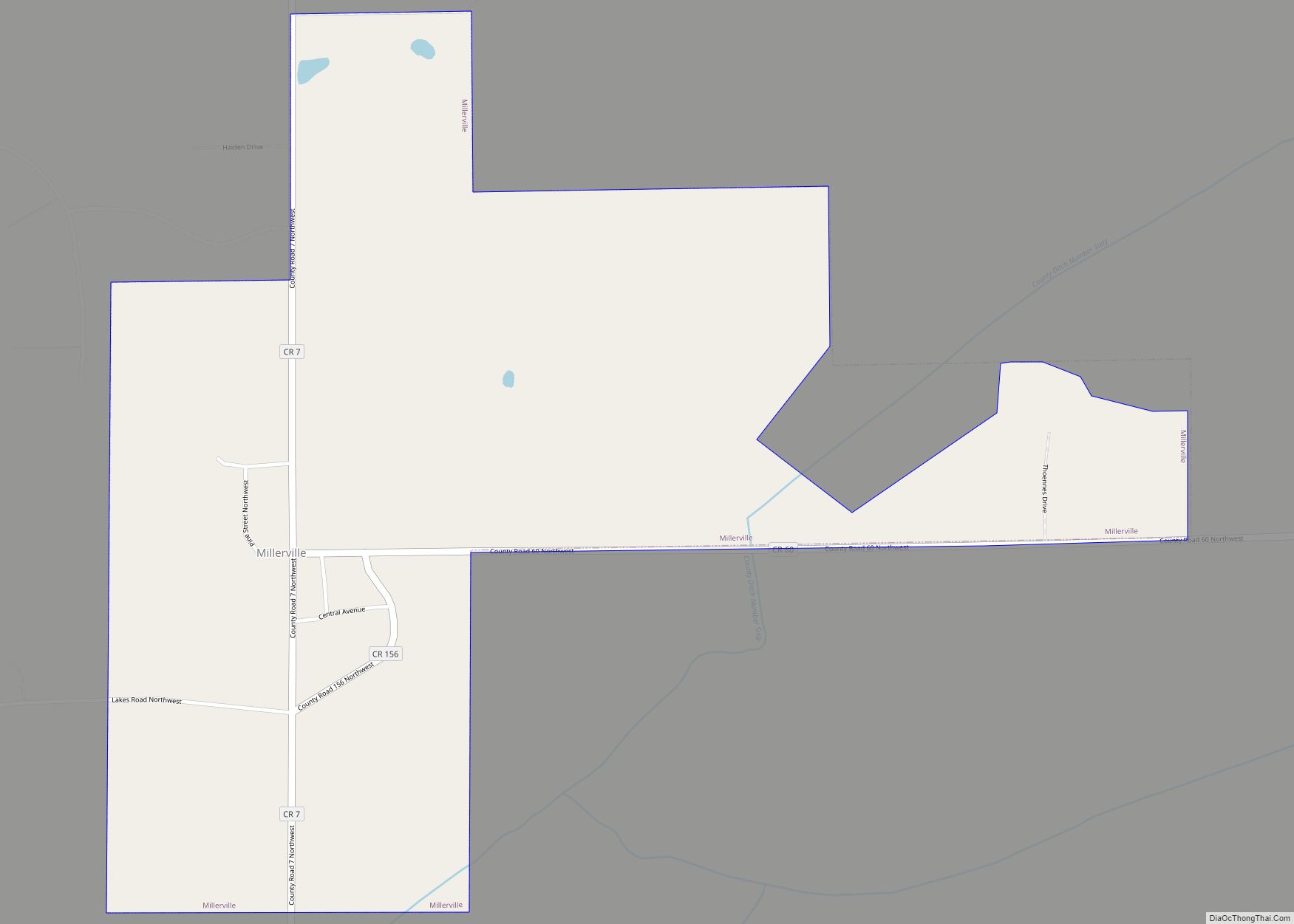
Online Interactive Map
Click on ![]() to view map in "full screen" mode.
to view map in "full screen" mode.
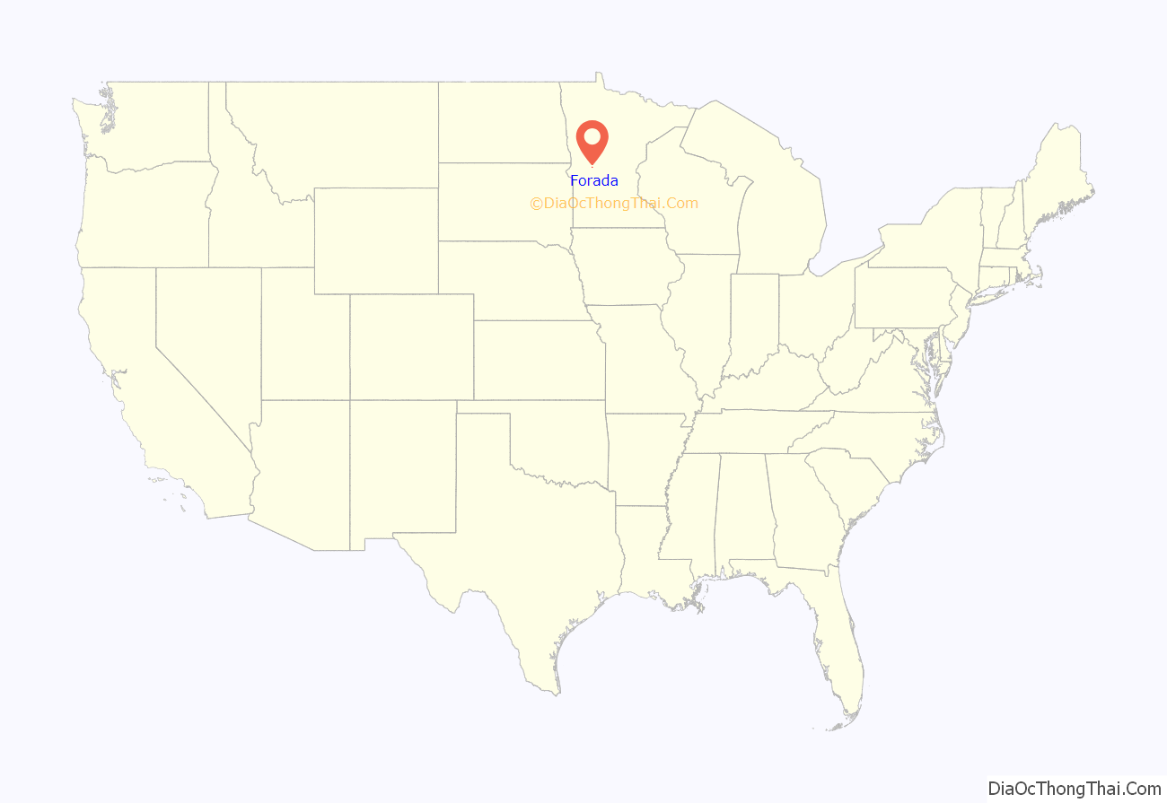
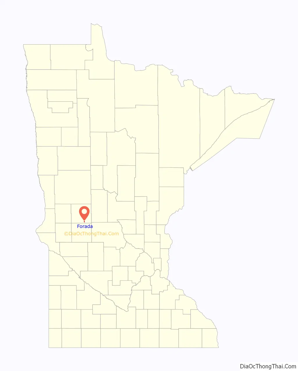
Forada location map. Where is Forada city?
History
Forada was platted in 1903, and named for Ada Campbell, the founder’s wife. A post office was established at Forada in 1904, and remained in operation until it was discontinued in 1954. on May 30th 2022, an EF2 tornado struck the town severely damaging several homes and buisnesess.
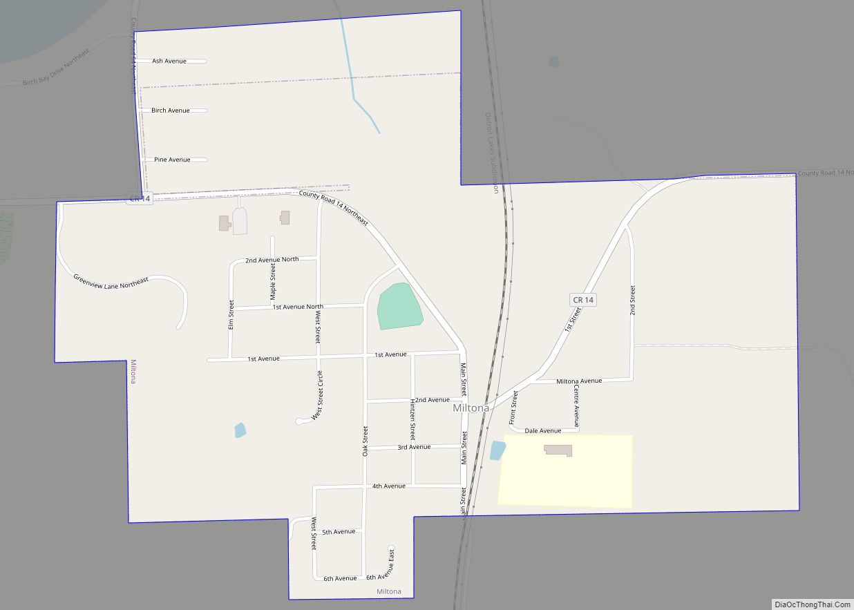
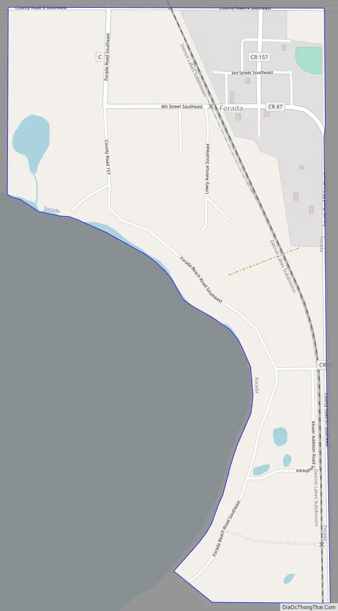
Forada Road Map
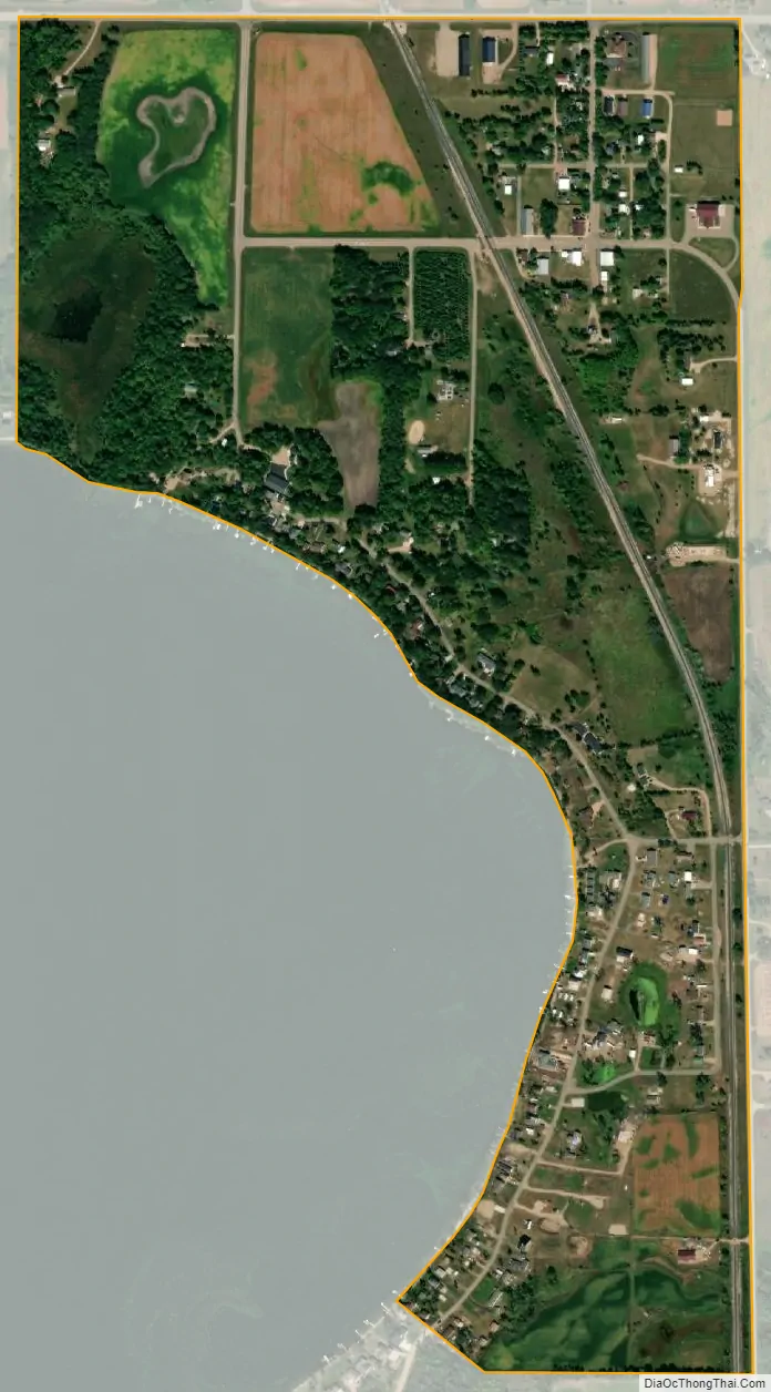
Forada city Satellite Map
Geography
According to the United States Census Bureau, the city has a total area of 0.55 square miles (1.42 km), of which 0.54 square miles (1.40 km) is land and 0.01 square miles (0.03 km) is water.
Minnesota State Highway 29 and County Highway 4 are two of the main routes in the community.
See also
Map of Minnesota State and its subdivision:- Aitkin
- Anoka
- Becker
- Beltrami
- Benton
- Big Stone
- Blue Earth
- Brown
- Carlton
- Carver
- Cass
- Chippewa
- Chisago
- Clay
- Clearwater
- Cook
- Cottonwood
- Crow Wing
- Dakota
- Dodge
- Douglas
- Faribault
- Fillmore
- Freeborn
- Goodhue
- Grant
- Hennepin
- Houston
- Hubbard
- Isanti
- Itasca
- Jackson
- Kanabec
- Kandiyohi
- Kittson
- Koochiching
- Lac qui Parle
- Lake
- Lake of the Woods
- Lake Superior
- Le Sueur
- Lincoln
- Lyon
- Mahnomen
- Marshall
- Martin
- McLeod
- Meeker
- Mille Lacs
- Morrison
- Mower
- Murray
- Nicollet
- Nobles
- Norman
- Olmsted
- Otter Tail
- Pennington
- Pine
- Pipestone
- Polk
- Pope
- Ramsey
- Red Lake
- Redwood
- Renville
- Rice
- Rock
- Roseau
- Saint Louis
- Scott
- Sherburne
- Sibley
- Stearns
- Steele
- Stevens
- Swift
- Todd
- Traverse
- Wabasha
- Wadena
- Waseca
- Washington
- Watonwan
- Wilkin
- Winona
- Wright
- Yellow Medicine
- Alabama
- Alaska
- Arizona
- Arkansas
- California
- Colorado
- Connecticut
- Delaware
- District of Columbia
- Florida
- Georgia
- Hawaii
- Idaho
- Illinois
- Indiana
- Iowa
- Kansas
- Kentucky
- Louisiana
- Maine
- Maryland
- Massachusetts
- Michigan
- Minnesota
- Mississippi
- Missouri
- Montana
- Nebraska
- Nevada
- New Hampshire
- New Jersey
- New Mexico
- New York
- North Carolina
- North Dakota
- Ohio
- Oklahoma
- Oregon
- Pennsylvania
- Rhode Island
- South Carolina
- South Dakota
- Tennessee
- Texas
- Utah
- Vermont
- Virginia
- Washington
- West Virginia
- Wisconsin
- Wyoming