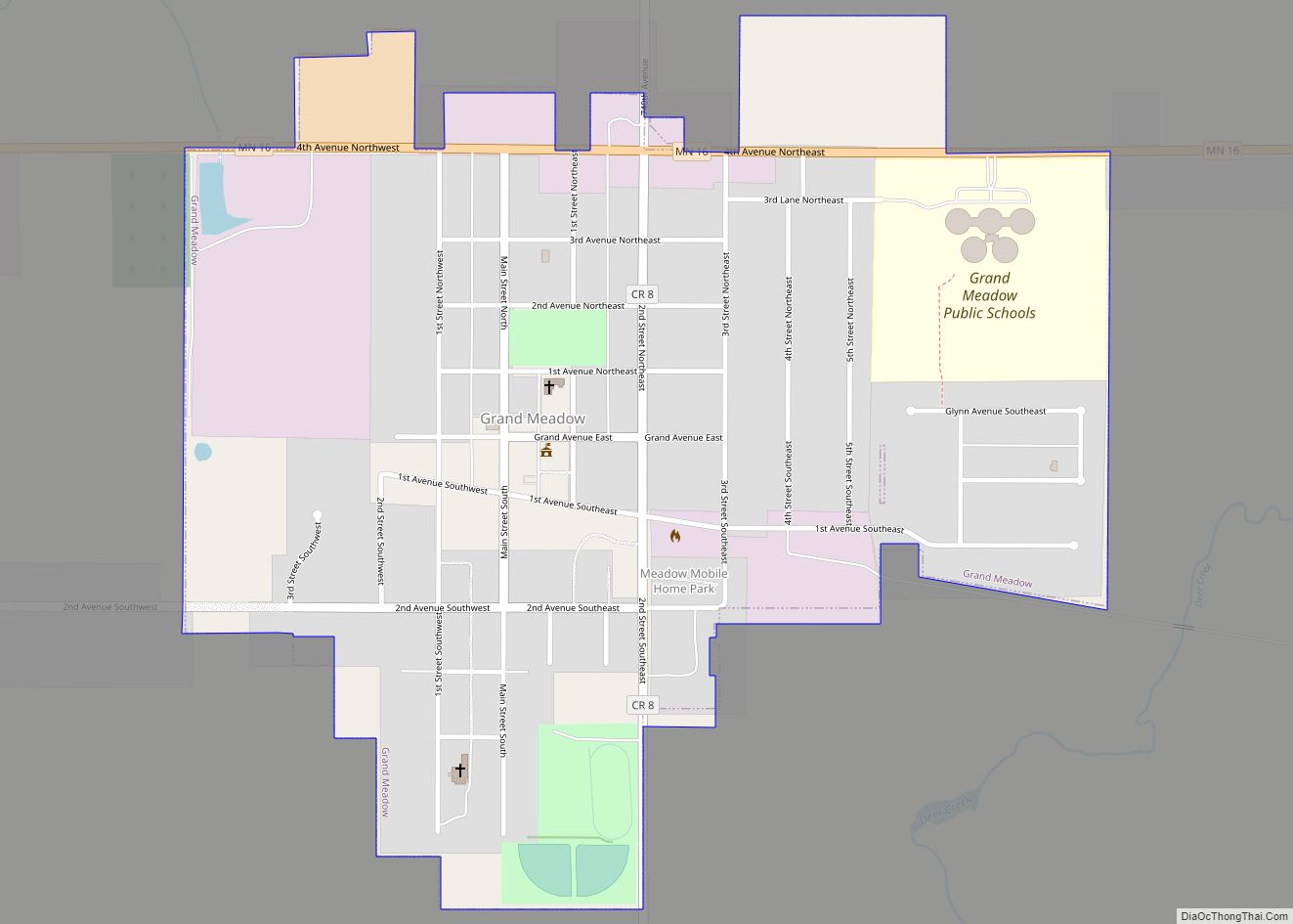
Grand Meadow is a city in Mower County, Minnesota, United States. The city is on the boundary between Grand Meadow Township and Frankford Township, and it is politically independent of both townships. The population was 1,139 at the 2010 census.
| Name: | Grand Meadow city |
|---|---|
| LSAD Code: | 25 |
| LSAD Description: | city (suffix) |
| State: | Minnesota |
| County: | Mower County |
| Elevation: | 1,352 ft (412 m) |
| Total Area: | 0.68 sq mi (1.77 km²) |
| Land Area: | 0.68 sq mi (1.77 km²) |
| Water Area: | 0.00 sq mi (0.00 km²) |
| Total Population: | 1,127 |
| Population Density: | 1,652.49/sq mi (637.64/km²) |
| ZIP code: | 55936 |
| Area code: | 507 |
| FIPS code: | 2725010 |
| GNISfeature ID: | 0644326 |
| Website: | www.cityofgrandmeadow.com |
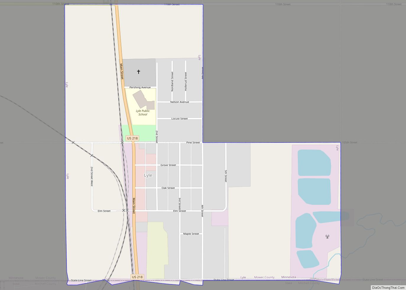
Online Interactive Map
Click on ![]() to view map in "full screen" mode.
to view map in "full screen" mode.
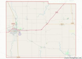
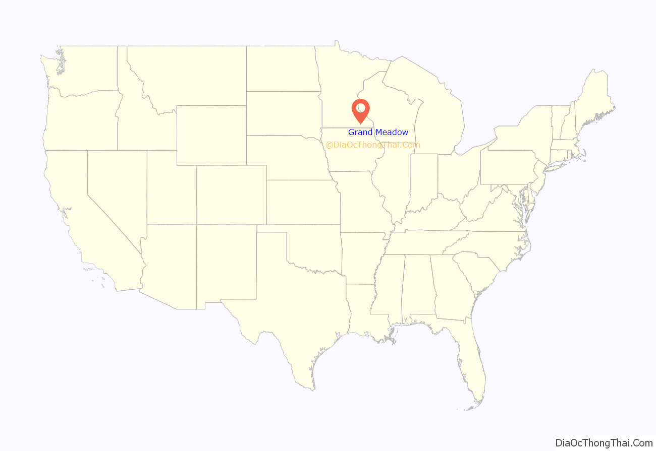
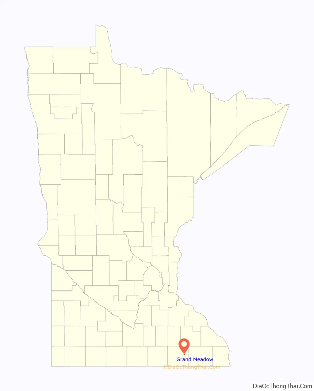
Grand Meadow location map. Where is Grand Meadow city?
History
Grand Meadow was platted in 1870, and named for the prairies near the original town site.
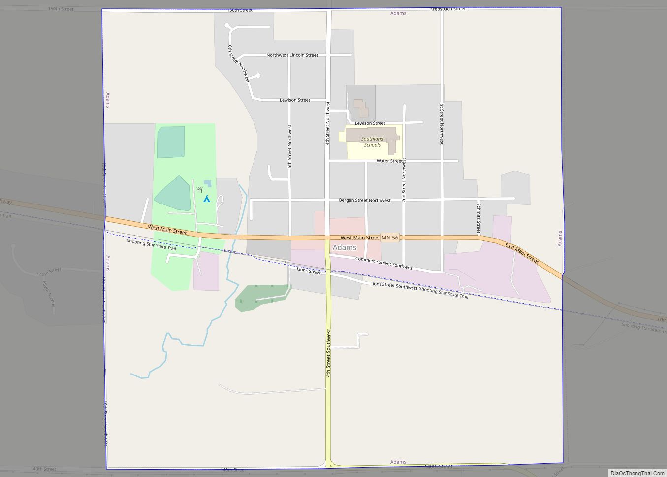
Grand Meadow Road Map

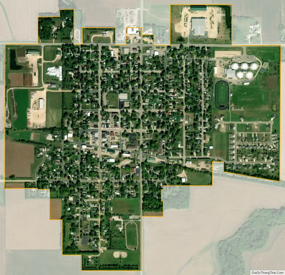
Grand Meadow city Satellite Map
Geography
According to the United States Census Bureau, the city has a total area of 0.67 square miles (1.74 km), all land.
Climate
Transportation
The city is located at the intersection of Mower County road 8 and Minnesota State Highway 16. The city was served by the Milwaukee Road railroad until the late 1970s.
Parks
Parks in the city are:
- Pine Lawn, located east of town on State Highway 16.
- City Park, located on 1st Avenue SE.
- Veterans Memorial Park, located on the site of the old Grand Meadow school.
See also
Map of Minnesota State and its subdivision:- Aitkin
- Anoka
- Becker
- Beltrami
- Benton
- Big Stone
- Blue Earth
- Brown
- Carlton
- Carver
- Cass
- Chippewa
- Chisago
- Clay
- Clearwater
- Cook
- Cottonwood
- Crow Wing
- Dakota
- Dodge
- Douglas
- Faribault
- Fillmore
- Freeborn
- Goodhue
- Grant
- Hennepin
- Houston
- Hubbard
- Isanti
- Itasca
- Jackson
- Kanabec
- Kandiyohi
- Kittson
- Koochiching
- Lac qui Parle
- Lake
- Lake of the Woods
- Lake Superior
- Le Sueur
- Lincoln
- Lyon
- Mahnomen
- Marshall
- Martin
- McLeod
- Meeker
- Mille Lacs
- Morrison
- Mower
- Murray
- Nicollet
- Nobles
- Norman
- Olmsted
- Otter Tail
- Pennington
- Pine
- Pipestone
- Polk
- Pope
- Ramsey
- Red Lake
- Redwood
- Renville
- Rice
- Rock
- Roseau
- Saint Louis
- Scott
- Sherburne
- Sibley
- Stearns
- Steele
- Stevens
- Swift
- Todd
- Traverse
- Wabasha
- Wadena
- Waseca
- Washington
- Watonwan
- Wilkin
- Winona
- Wright
- Yellow Medicine
- Alabama
- Alaska
- Arizona
- Arkansas
- California
- Colorado
- Connecticut
- Delaware
- District of Columbia
- Florida
- Georgia
- Hawaii
- Idaho
- Illinois
- Indiana
- Iowa
- Kansas
- Kentucky
- Louisiana
- Maine
- Maryland
- Massachusetts
- Michigan
- Minnesota
- Mississippi
- Missouri
- Montana
- Nebraska
- Nevada
- New Hampshire
- New Jersey
- New Mexico
- New York
- North Carolina
- North Dakota
- Ohio
- Oklahoma
- Oregon
- Pennsylvania
- Rhode Island
- South Carolina
- South Dakota
- Tennessee
- Texas
- Utah
- Vermont
- Virginia
- Washington
- West Virginia
- Wisconsin
- Wyoming