Hill City is a city in Aitkin County, Minnesota, United States. The population was 613 at the 2020 census.
Hill City is located along U.S. Highway 169 and Minnesota State Highway 200.
| Name: | Hill City city |
|---|---|
| LSAD Code: | 25 |
| LSAD Description: | city (suffix) |
| State: | Minnesota |
| County: | Aitkin County |
| Incorporated: | February 19, 1910 |
| Elevation: | 1,339 ft (408 m) |
| Total Area: | 1.35 sq mi (3.51 km²) |
| Land Area: | 1.11 sq mi (2.89 km²) |
| Water Area: | 0.24 sq mi (0.62 km²) |
| Total Population: | 613 |
| Population Density: | 550.27/sq mi (212.48/km²) |
| ZIP code: | 55748 |
| Area code: | 218 |
| FIPS code: | 2729096 |
| GNISfeature ID: | 0644967 |
| Website: | hillcity-mn.com |
Online Interactive Map
Click on ![]() to view map in "full screen" mode.
to view map in "full screen" mode.
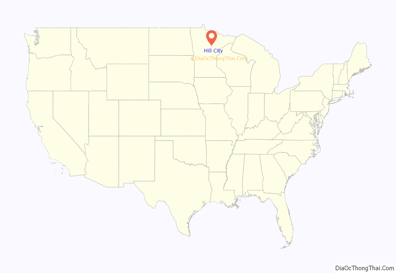
Hill City location map. Where is Hill City city?
History
Hill City was incorporated in 1910, and separated from surrounding Hill Lake Township in 1911. The post office began in 1901. Economic growth began with shipping cooperage stock, forest products, and produce. One property in Hill City, the 1910 National Woodenware Company Superintendent’s Residence, is listed on the National Register of Historic Places.
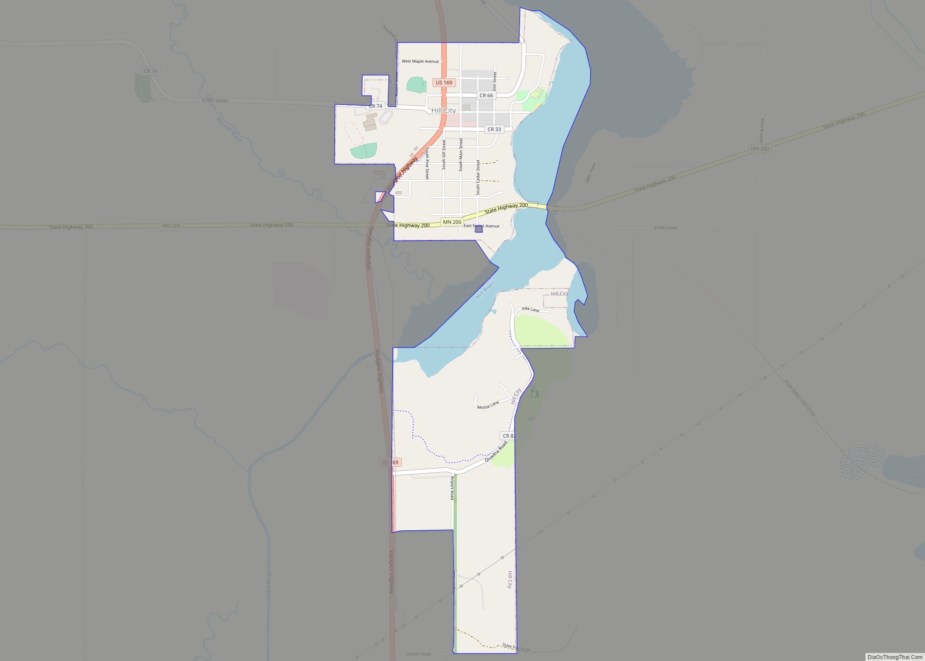
Hill City Road Map
Hill City city Satellite Map
Geography
According to the United States Census Bureau, the city has a total area of 1.52 square miles (3.94 km), of which 1.28 square miles (3.32 km) is land and 0.24 square miles (0.62 km) is water.
Hill City is along the shores of Hill Lake, a glacial formation roughly 2 miles (3.2 km) long and an average of 0.25 miles (0.40 km) wide. At the southern end of the lake there is a large hill, named Quadna Mountain locally, presumably formed at the same time as the lake. The “mountain” is the namesake of Hill City. The Hill River and Morrison Brook both flow nearby. Hill lake has a depth of approximately 50 feet.
See also
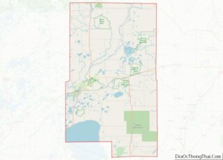
Map of Minnesota State and its subdivision:- Aitkin
- Anoka
- Becker
- Beltrami
- Benton
- Big Stone
- Blue Earth
- Brown
- Carlton
- Carver
- Cass
- Chippewa
- Chisago
- Clay
- Clearwater
- Cook
- Cottonwood
- Crow Wing
- Dakota
- Dodge
- Douglas
- Faribault
- Fillmore
- Freeborn
- Goodhue
- Grant
- Hennepin
- Houston
- Hubbard
- Isanti
- Itasca
- Jackson
- Kanabec
- Kandiyohi
- Kittson
- Koochiching
- Lac qui Parle
- Lake
- Lake of the Woods
- Lake Superior
- Le Sueur
- Lincoln
- Lyon
- Mahnomen
- Marshall
- Martin
- McLeod
- Meeker
- Mille Lacs
- Morrison
- Mower
- Murray
- Nicollet
- Nobles
- Norman
- Olmsted
- Otter Tail
- Pennington
- Pine
- Pipestone
- Polk
- Pope
- Ramsey
- Red Lake
- Redwood
- Renville
- Rice
- Rock
- Roseau
- Saint Louis
- Scott
- Sherburne
- Sibley
- Stearns
- Steele
- Stevens
- Swift
- Todd
- Traverse
- Wabasha
- Wadena
- Waseca
- Washington
- Watonwan
- Wilkin
- Winona
- Wright
- Yellow Medicine
- Alabama
- Alaska
- Arizona
- Arkansas
- California
- Colorado
- Connecticut
- Delaware
- District of Columbia
- Florida
- Georgia
- Hawaii
- Idaho
- Illinois
- Indiana
- Iowa
- Kansas
- Kentucky
- Louisiana
- Maine
- Maryland
- Massachusetts
- Michigan
- Minnesota
- Mississippi
- Missouri
- Montana
- Nebraska
- Nevada
- New Hampshire
- New Jersey
- New Mexico
- New York
- North Carolina
- North Dakota
- Ohio
- Oklahoma
- Oregon
- Pennsylvania
- Rhode Island
- South Carolina
- South Dakota
- Tennessee
- Texas
- Utah
- Vermont
- Virginia
- Washington
- West Virginia
- Wisconsin
- Wyoming
