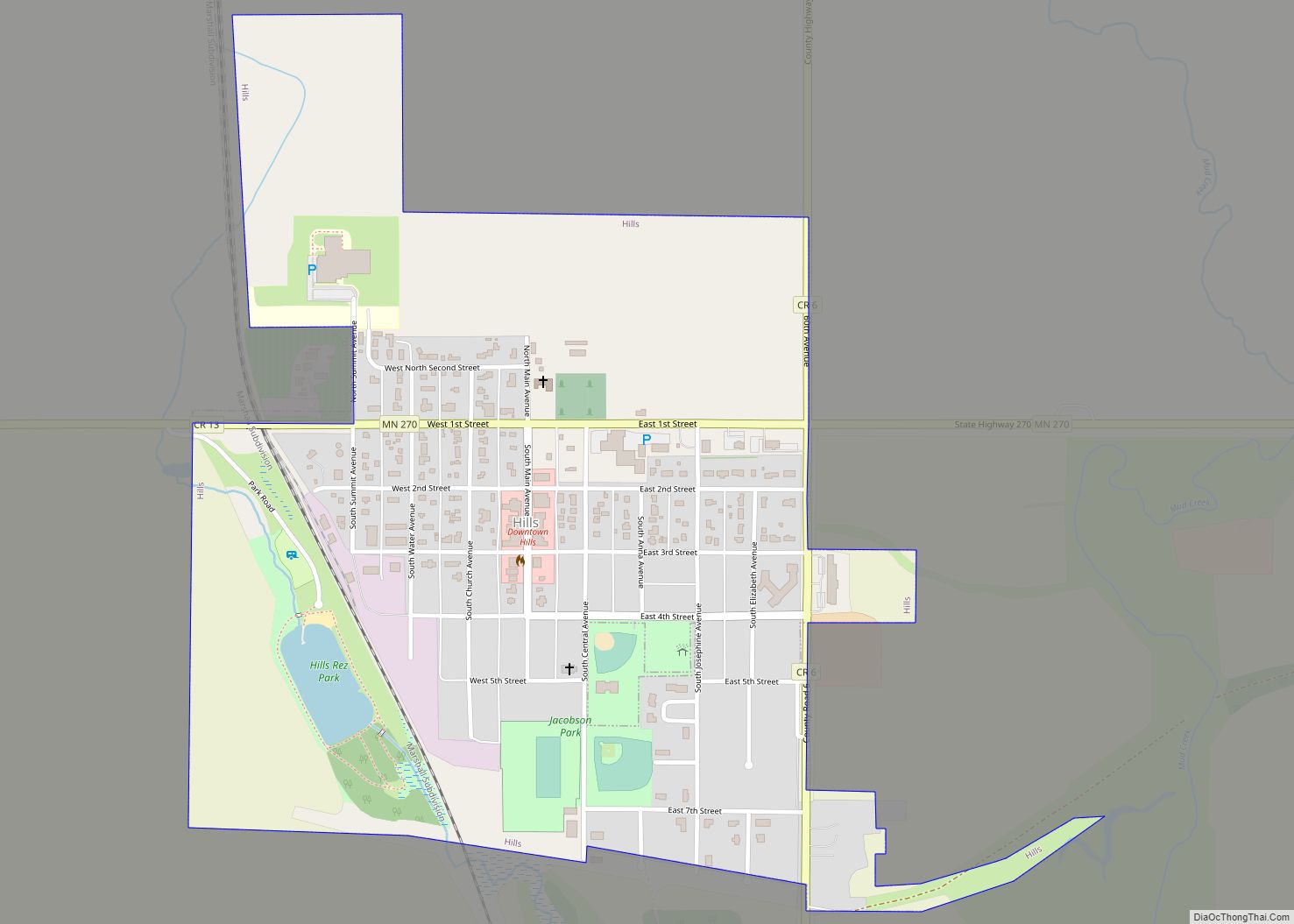
Hills is a city in Rock County, Minnesota, United States. Located approximately four miles (6 km) from the South Dakota border and two miles (3 km) from the Iowa border, it is the southwesternmost city in Minnesota. The population was 686 at the 2010 census.
| Name: | Hills city |
|---|---|
| LSAD Code: | 25 |
| LSAD Description: | city (suffix) |
| State: | Minnesota |
| County: | Rock County |
| Elevation: | 1,486 ft (453 m) |
| Total Area: | 0.64 sq mi (1.66 km²) |
| Land Area: | 0.63 sq mi (1.63 km²) |
| Water Area: | 0.01 sq mi (0.03 km²) |
| Total Population: | 686 |
| Population Density: | 1,088.89/sq mi (420.68/km²) |
| ZIP code: | 56138 |
| Area code: | 507 |
| FIPS code: | 2729204 |
| GNISfeature ID: | 2394383 |
| Website: | http://www.hillsmn.com/ |
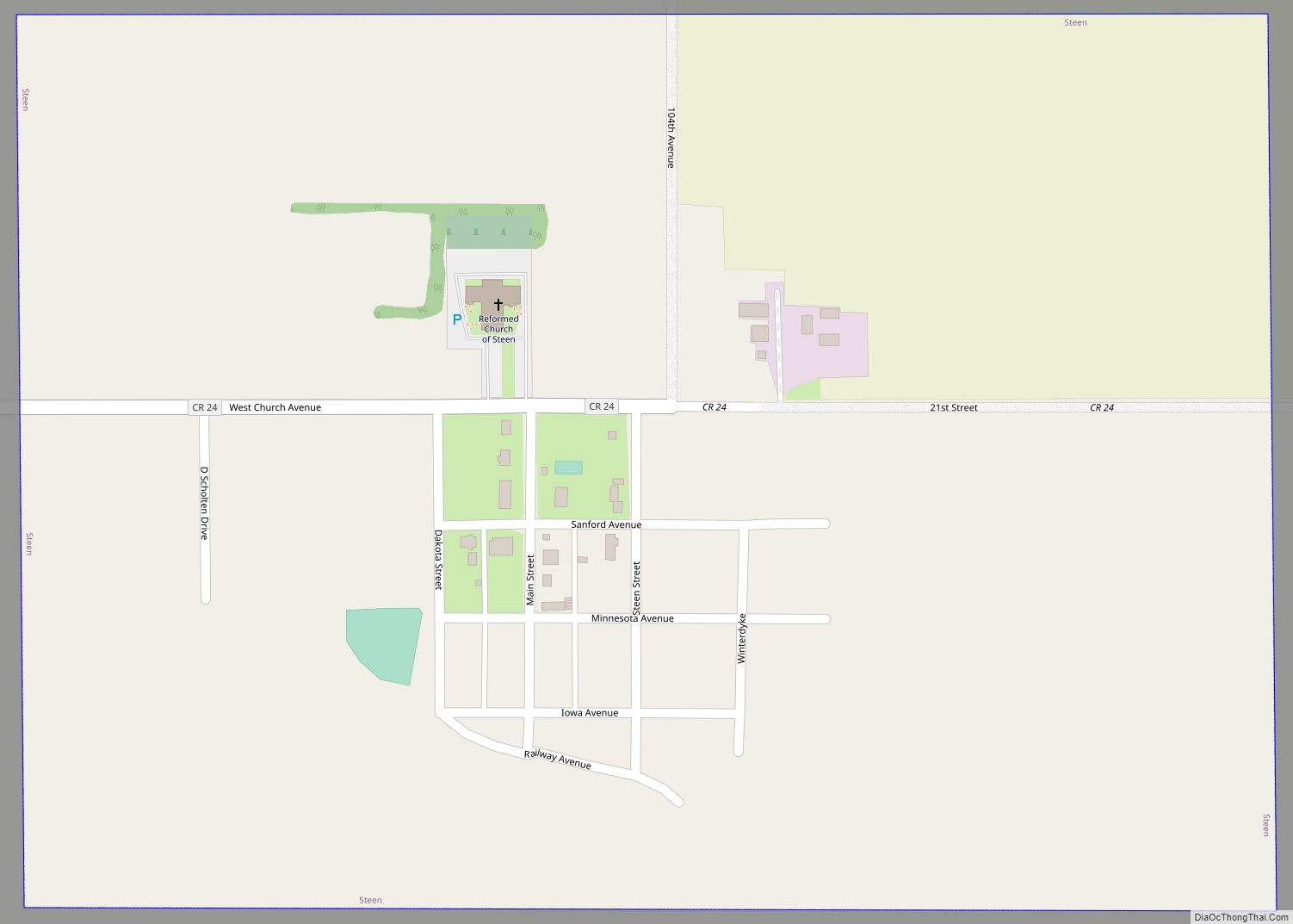
Online Interactive Map
Click on ![]() to view map in "full screen" mode.
to view map in "full screen" mode.
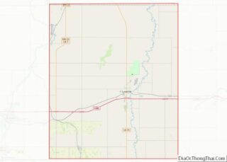
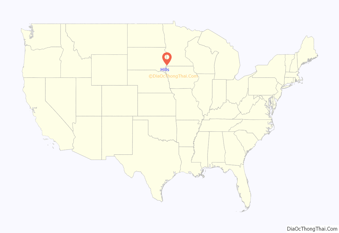
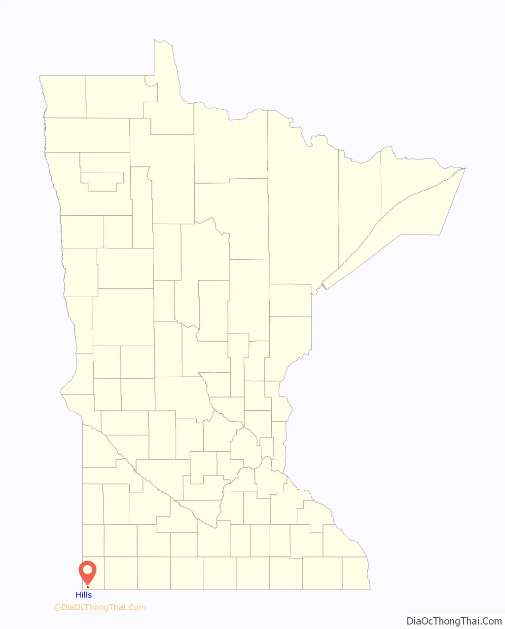
Hills location map. Where is Hills city?
History
Hills was platted in 1889, and named for Frederick C. Hills, a railroad official. A post office has been in operation at Hills since 1890. Hills was incorporated in 1904.
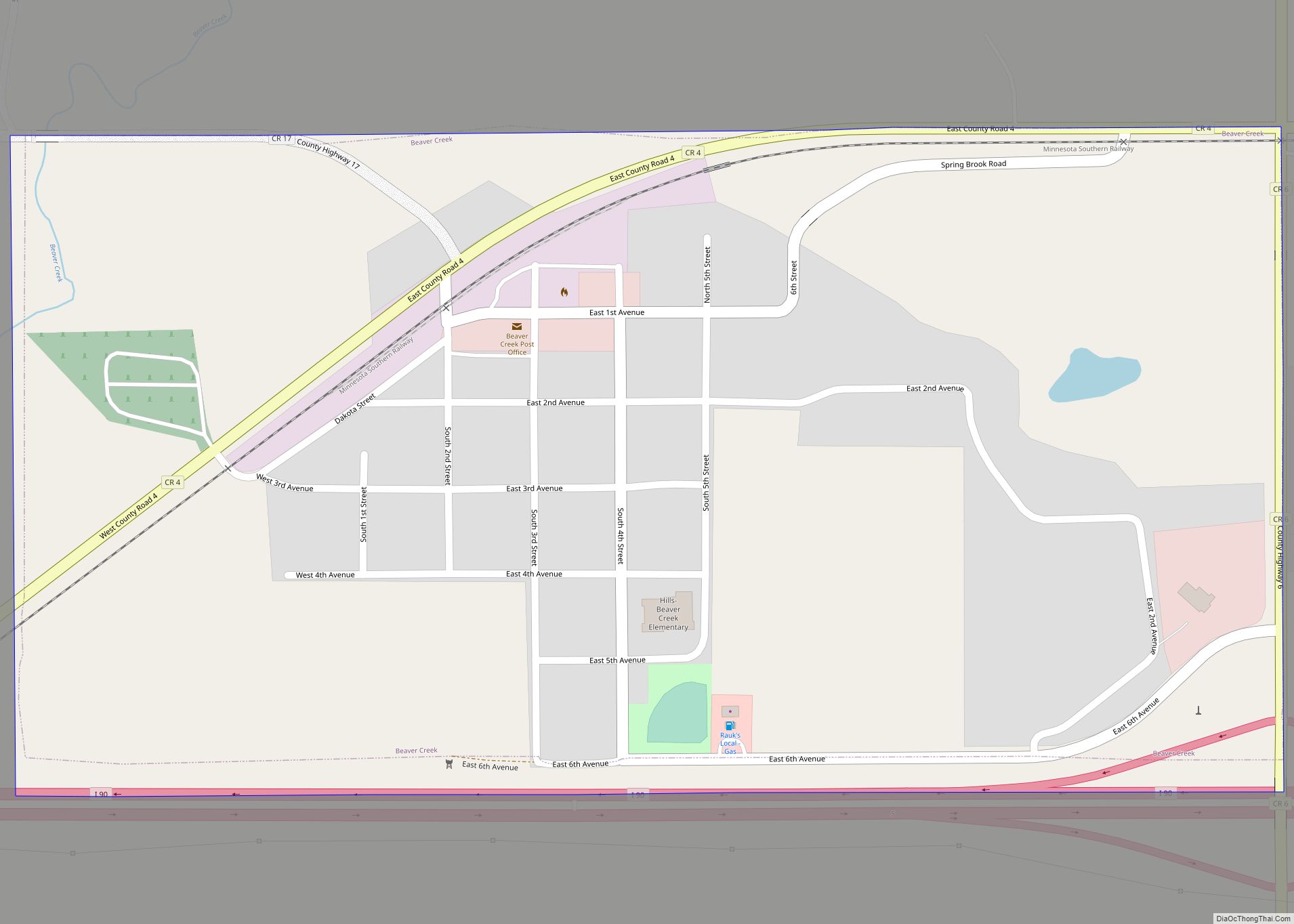
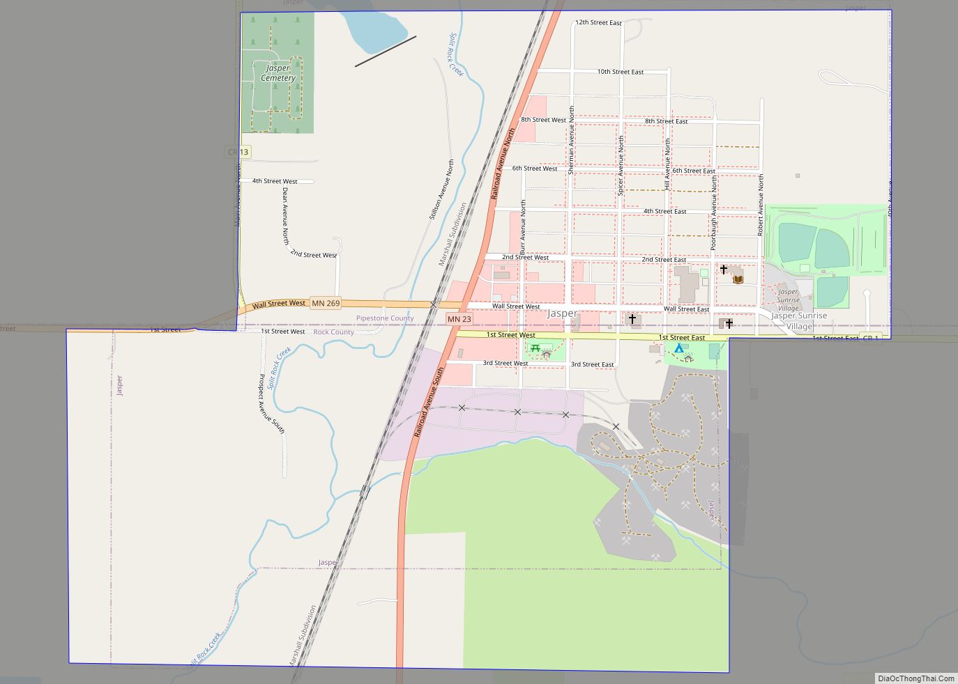
Hills Road Map
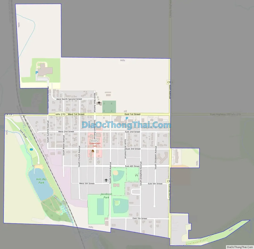
Hills city Satellite Map

Geography
According to the United States Census Bureau, the city has a total area of 0.54 square miles (1.40 km); 0.53 square miles (1.37 km) is land and 0.01 square miles (0.03 km) is water. The landscape is flat with some gently rolling hills; however, the town’s name does not derive from a particular topographical feature. The town includes one park, Jacobson Park.
See also
Map of Minnesota State and its subdivision:- Aitkin
- Anoka
- Becker
- Beltrami
- Benton
- Big Stone
- Blue Earth
- Brown
- Carlton
- Carver
- Cass
- Chippewa
- Chisago
- Clay
- Clearwater
- Cook
- Cottonwood
- Crow Wing
- Dakota
- Dodge
- Douglas
- Faribault
- Fillmore
- Freeborn
- Goodhue
- Grant
- Hennepin
- Houston
- Hubbard
- Isanti
- Itasca
- Jackson
- Kanabec
- Kandiyohi
- Kittson
- Koochiching
- Lac qui Parle
- Lake
- Lake of the Woods
- Lake Superior
- Le Sueur
- Lincoln
- Lyon
- Mahnomen
- Marshall
- Martin
- McLeod
- Meeker
- Mille Lacs
- Morrison
- Mower
- Murray
- Nicollet
- Nobles
- Norman
- Olmsted
- Otter Tail
- Pennington
- Pine
- Pipestone
- Polk
- Pope
- Ramsey
- Red Lake
- Redwood
- Renville
- Rice
- Rock
- Roseau
- Saint Louis
- Scott
- Sherburne
- Sibley
- Stearns
- Steele
- Stevens
- Swift
- Todd
- Traverse
- Wabasha
- Wadena
- Waseca
- Washington
- Watonwan
- Wilkin
- Winona
- Wright
- Yellow Medicine
- Alabama
- Alaska
- Arizona
- Arkansas
- California
- Colorado
- Connecticut
- Delaware
- District of Columbia
- Florida
- Georgia
- Hawaii
- Idaho
- Illinois
- Indiana
- Iowa
- Kansas
- Kentucky
- Louisiana
- Maine
- Maryland
- Massachusetts
- Michigan
- Minnesota
- Mississippi
- Missouri
- Montana
- Nebraska
- Nevada
- New Hampshire
- New Jersey
- New Mexico
- New York
- North Carolina
- North Dakota
- Ohio
- Oklahoma
- Oregon
- Pennsylvania
- Rhode Island
- South Carolina
- South Dakota
- Tennessee
- Texas
- Utah
- Vermont
- Virginia
- Washington
- West Virginia
- Wisconsin
- Wyoming