Luverne (/ləˈvɜːrn/ lə-VURN) is a city in Rock County, Minnesota, United States, along the Rock River. The population was 4,946 at the 2020 census. It is one of four towns profiled in the 2007 Ken Burns documentary The War. It is the main setting for the second season of the TV show Fargo.
| Name: | Luverne city |
|---|---|
| LSAD Code: | 25 |
| LSAD Description: | city (suffix) |
| State: | Minnesota |
| County: | Rock County |
| Elevation: | 1,463 ft (446 m) |
| Total Area: | 3.68 sq mi (9.53 km²) |
| Land Area: | 3.67 sq mi (9.51 km²) |
| Water Area: | 0.01 sq mi (0.02 km²) |
| Total Population: | 4,946 |
| Population Density: | 1,346.58/sq mi (519.86/km²) |
| ZIP code: | 56156 |
| Area code: | 507 |
| FIPS code: | 2738564 |
| GNISfeature ID: | 2395787 |
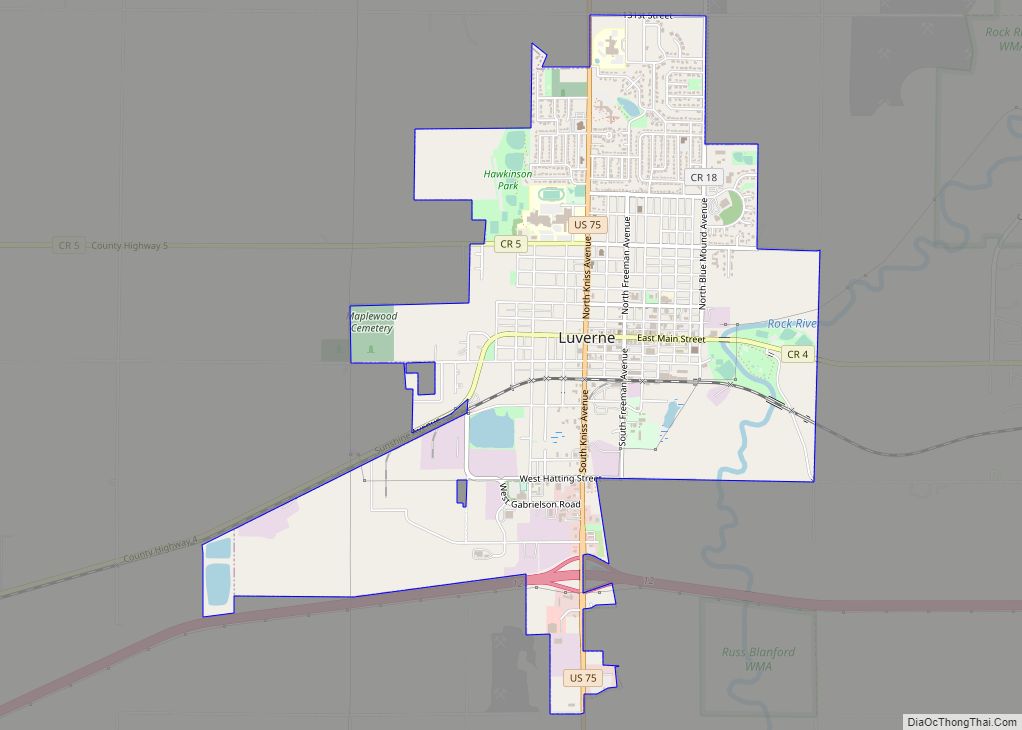
Online Interactive Map
Click on ![]() to view map in "full screen" mode.
to view map in "full screen" mode.
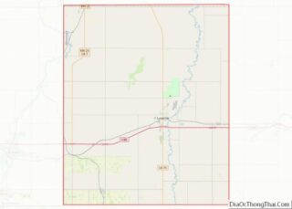
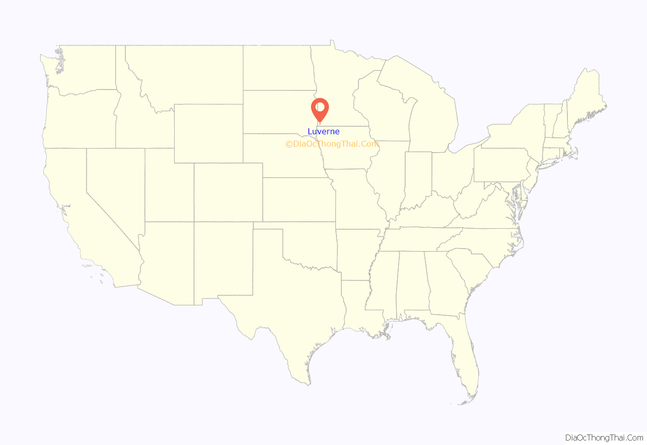
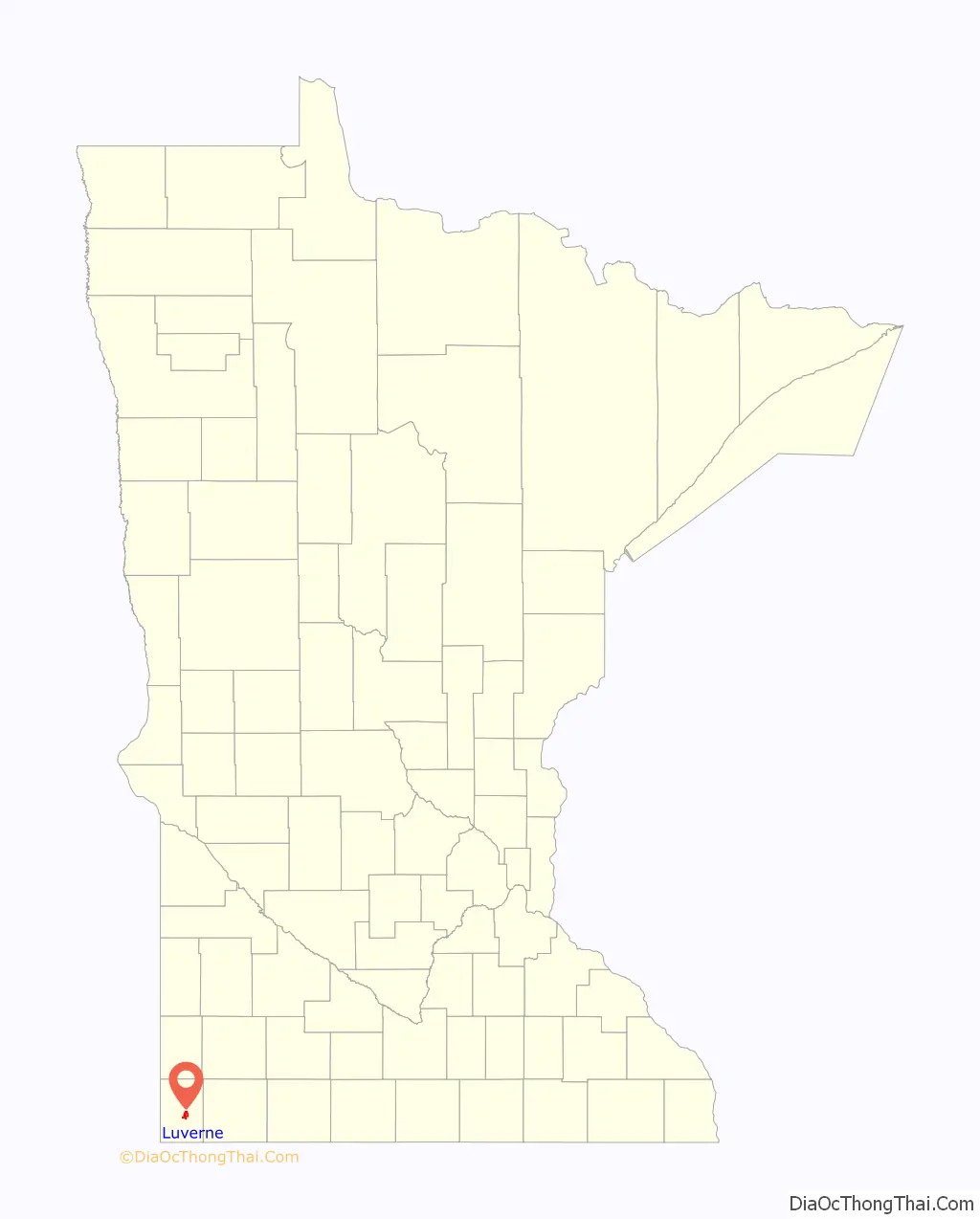
Luverne location map. Where is Luverne city?
History
A post office called Luverne has been in operation since 1868. Luverne was platted in 1870, and named for Luverne Hawes, the daughter of a settler.
Nutcrackers
Luverne is also well known for its large collection of nutcrackers. The Rock County Historical Society is home to a permanent collection of over 5,300 nutcrackers and is a staple of the history of Luverne. Nutcrackers of many shapes, sizes and colors from all over the world are showcased. Year-round, businesses and residents display nutcrackers. A scavenger hunt is held to find the names of the over 130 nutcrackers scattered throughout town. Other nutcracker-themed events take place throughout the year.
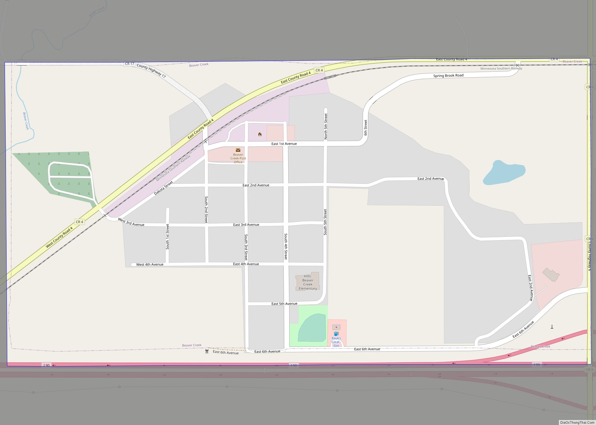
Luverne Road Map
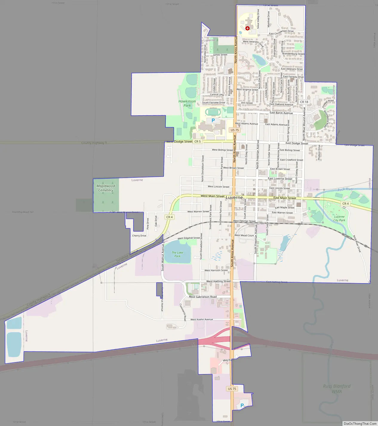
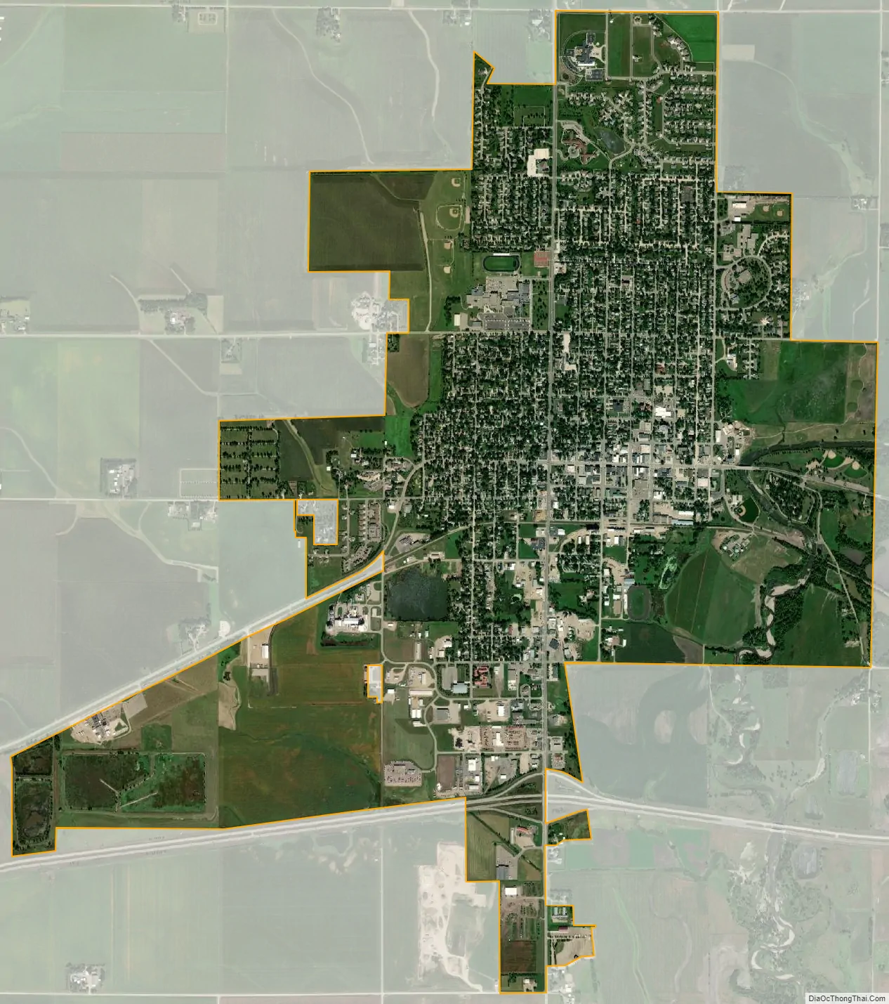
Luverne city Satellite Map
Geography
According to the United States Census Bureau, the city has a total area of 3.69 square miles (9.56 km); 3.68 square miles (9.53 km) is land and 0.01 square miles (0.03 km) is water.
Rock County holds the distinction of being one of four counties in the state of Minnesota without a natural lake.
See also
Map of Minnesota State and its subdivision:- Aitkin
- Anoka
- Becker
- Beltrami
- Benton
- Big Stone
- Blue Earth
- Brown
- Carlton
- Carver
- Cass
- Chippewa
- Chisago
- Clay
- Clearwater
- Cook
- Cottonwood
- Crow Wing
- Dakota
- Dodge
- Douglas
- Faribault
- Fillmore
- Freeborn
- Goodhue
- Grant
- Hennepin
- Houston
- Hubbard
- Isanti
- Itasca
- Jackson
- Kanabec
- Kandiyohi
- Kittson
- Koochiching
- Lac qui Parle
- Lake
- Lake of the Woods
- Lake Superior
- Le Sueur
- Lincoln
- Lyon
- Mahnomen
- Marshall
- Martin
- McLeod
- Meeker
- Mille Lacs
- Morrison
- Mower
- Murray
- Nicollet
- Nobles
- Norman
- Olmsted
- Otter Tail
- Pennington
- Pine
- Pipestone
- Polk
- Pope
- Ramsey
- Red Lake
- Redwood
- Renville
- Rice
- Rock
- Roseau
- Saint Louis
- Scott
- Sherburne
- Sibley
- Stearns
- Steele
- Stevens
- Swift
- Todd
- Traverse
- Wabasha
- Wadena
- Waseca
- Washington
- Watonwan
- Wilkin
- Winona
- Wright
- Yellow Medicine
- Alabama
- Alaska
- Arizona
- Arkansas
- California
- Colorado
- Connecticut
- Delaware
- District of Columbia
- Florida
- Georgia
- Hawaii
- Idaho
- Illinois
- Indiana
- Iowa
- Kansas
- Kentucky
- Louisiana
- Maine
- Maryland
- Massachusetts
- Michigan
- Minnesota
- Mississippi
- Missouri
- Montana
- Nebraska
- Nevada
- New Hampshire
- New Jersey
- New Mexico
- New York
- North Carolina
- North Dakota
- Ohio
- Oklahoma
- Oregon
- Pennsylvania
- Rhode Island
- South Carolina
- South Dakota
- Tennessee
- Texas
- Utah
- Vermont
- Virginia
- Washington
- West Virginia
- Wisconsin
- Wyoming