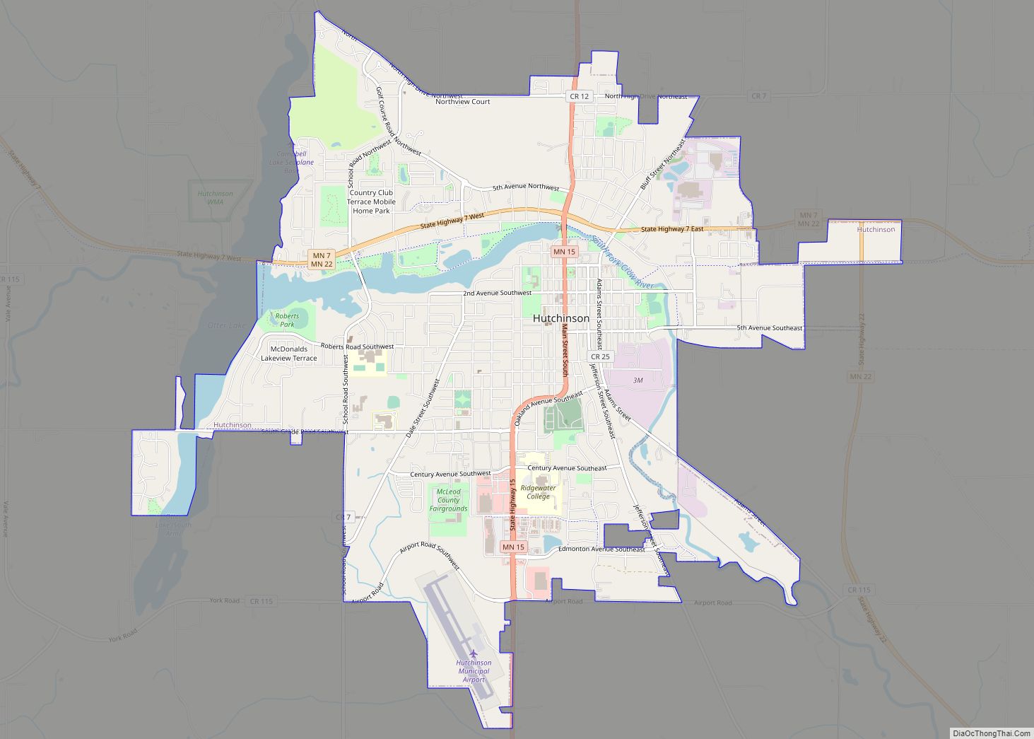
Hutchinson is the largest city in McLeod County, Minnesota, United States. It lies along the South Fork of the Crow River. The population was 14,599 at the 2020 census.
| Name: | Hutchinson city |
|---|---|
| LSAD Code: | 25 |
| LSAD Description: | city (suffix) |
| State: | Minnesota |
| County: | McLeod County |
| Elevation: | 1,060 ft (323 m) |
| Total Area: | 8.82 sq mi (22.84 km²) |
| Land Area: | 8.48 sq mi (21.97 km²) |
| Water Area: | 0.34 sq mi (0.87 km²) |
| Total Population: | 14,599 |
| Population Density: | 1,720.97/sq mi (664.43/km²) |
| ZIP code: | 55350 |
| Area code: | 320 |
| FIPS code: | 2730644 |
| GNISfeature ID: | 0645316 |
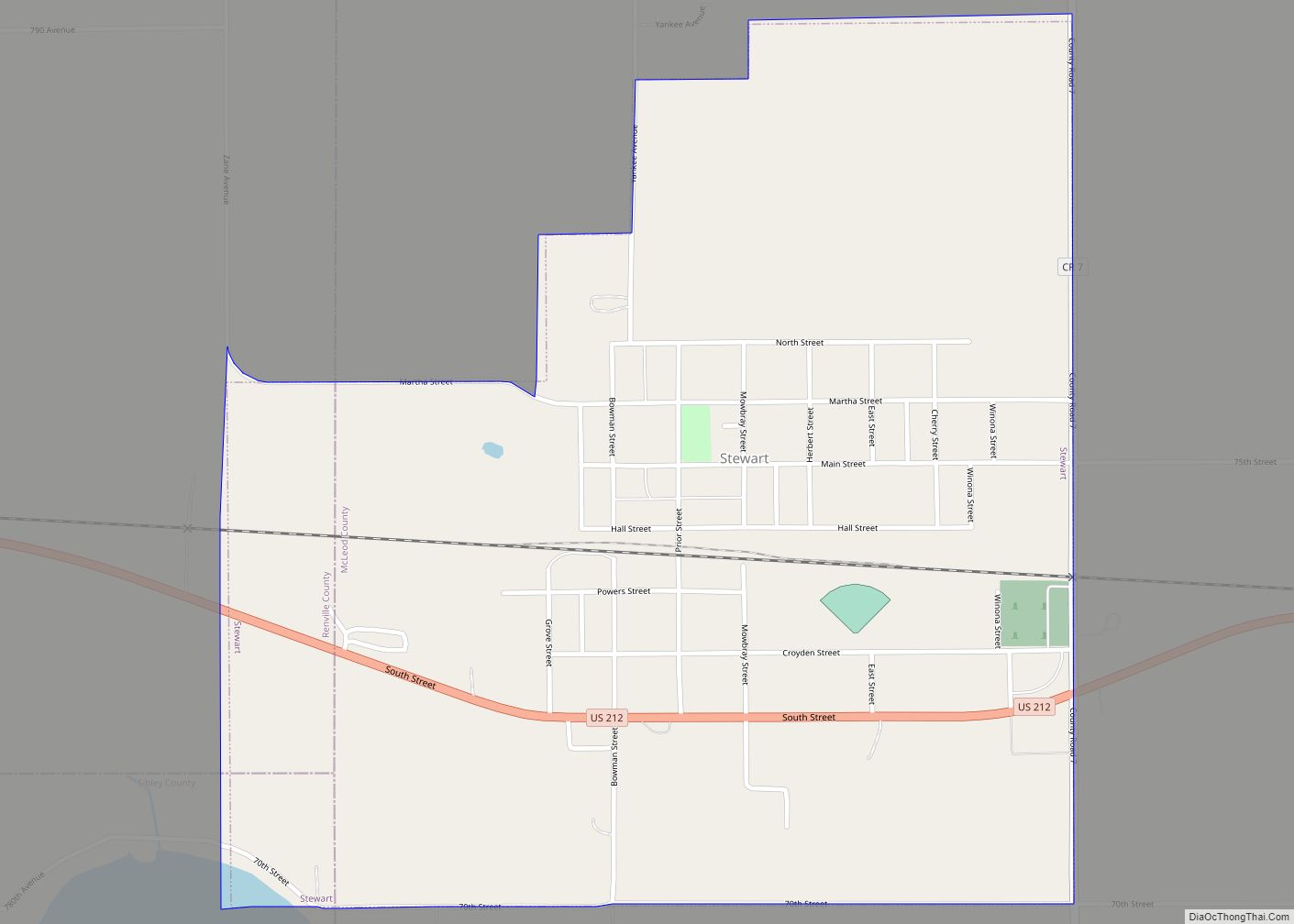
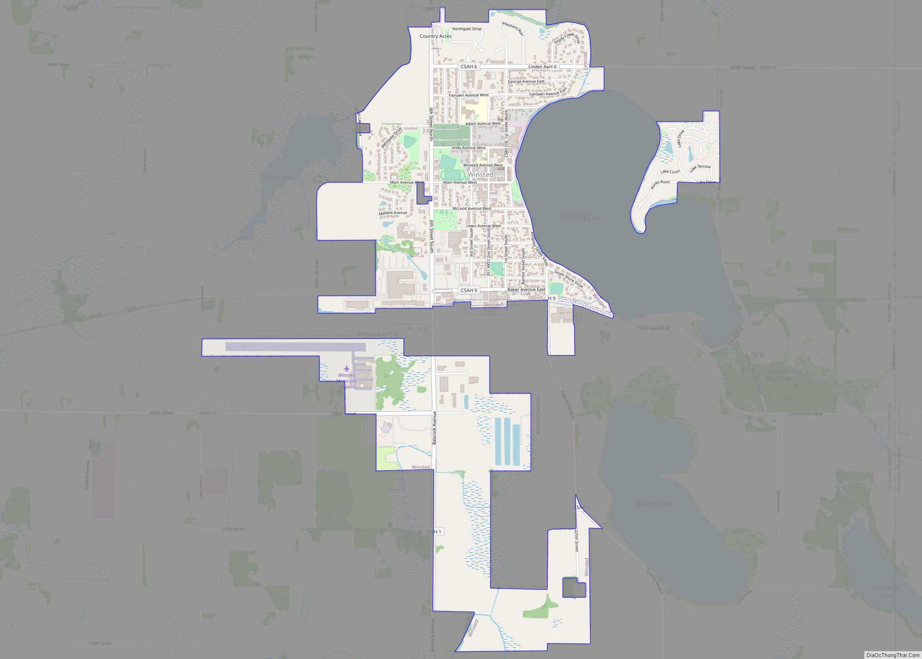
Online Interactive Map
Click on ![]() to view map in "full screen" mode.
to view map in "full screen" mode.
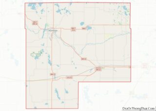
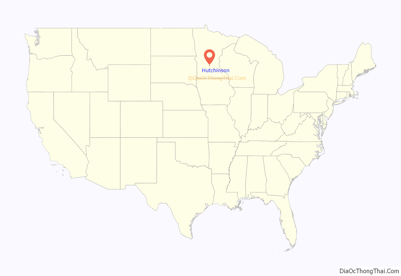
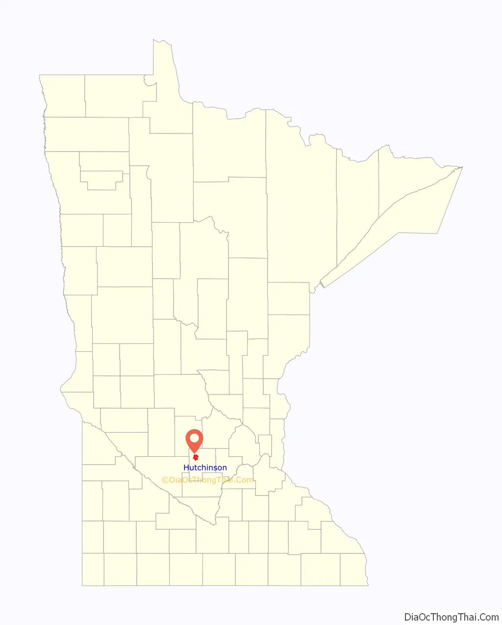
Hutchinson location map. Where is Hutchinson city?
History
The Hutchinson Family Singers (John, Asa, and Judson Hutchinson) are credited with founding the town in November 1855. A post office has been in operation in Hutchinson since 1856. The city was incorporated in 1904.
In 1942, muralist Elsa Jemne completed an egg tempera on plaster mural, The Hutchinson Singers, in the town’s post office. Federally commissioned murals were produced from 1934 to 1943 through the Section of Painting and Sculpture, later called the Section of Fine Arts, of the Treasury Department. The program created public art for numerous buildings constructed during the Great Depression as part of President Franklin D. Roosevelt’s Public Works Administration’s program to provide employment and improve infrastructure.
Hutchinson was once served by three railroads. The Electric Short Line (commonly known as the Luce Line) provided freight and interurban service between Minneapolis and Gluek via Hutchinson. During the mid-20th century, there was extensive restructuring in the railroad industry, as automobiles caused a decline in passenger traffic and trucking cut into freight movement.
The Electric Short Line was purchased by the Minneapolis & St. Louis in 1956, which was in turn purchased by the Chicago & North Western in 1960. The tracks west of Hutchinson were abandoned in 1967, and the tracks between Hutchinson and Plymouth were abandoned in 1972. The Milwaukee Road had a branch line to Hutchinson from Glencoe, which was abandoned in 1956. The Great Northern Railway also had a branch line, which went from Wayzata to Hutchinson. This was taken over by Burlington Northern in 1970. In 1985 Burlington Northern petitioned to abandon its line to Hutchinson, but Dakota Rail took over operations that same year. Dakota Rail struggled to turn a profit and sought to abandon the line in 2000. The tracks were officially abandoned in 2001. Hutchinson’s Great Northern Depot has been preserved.
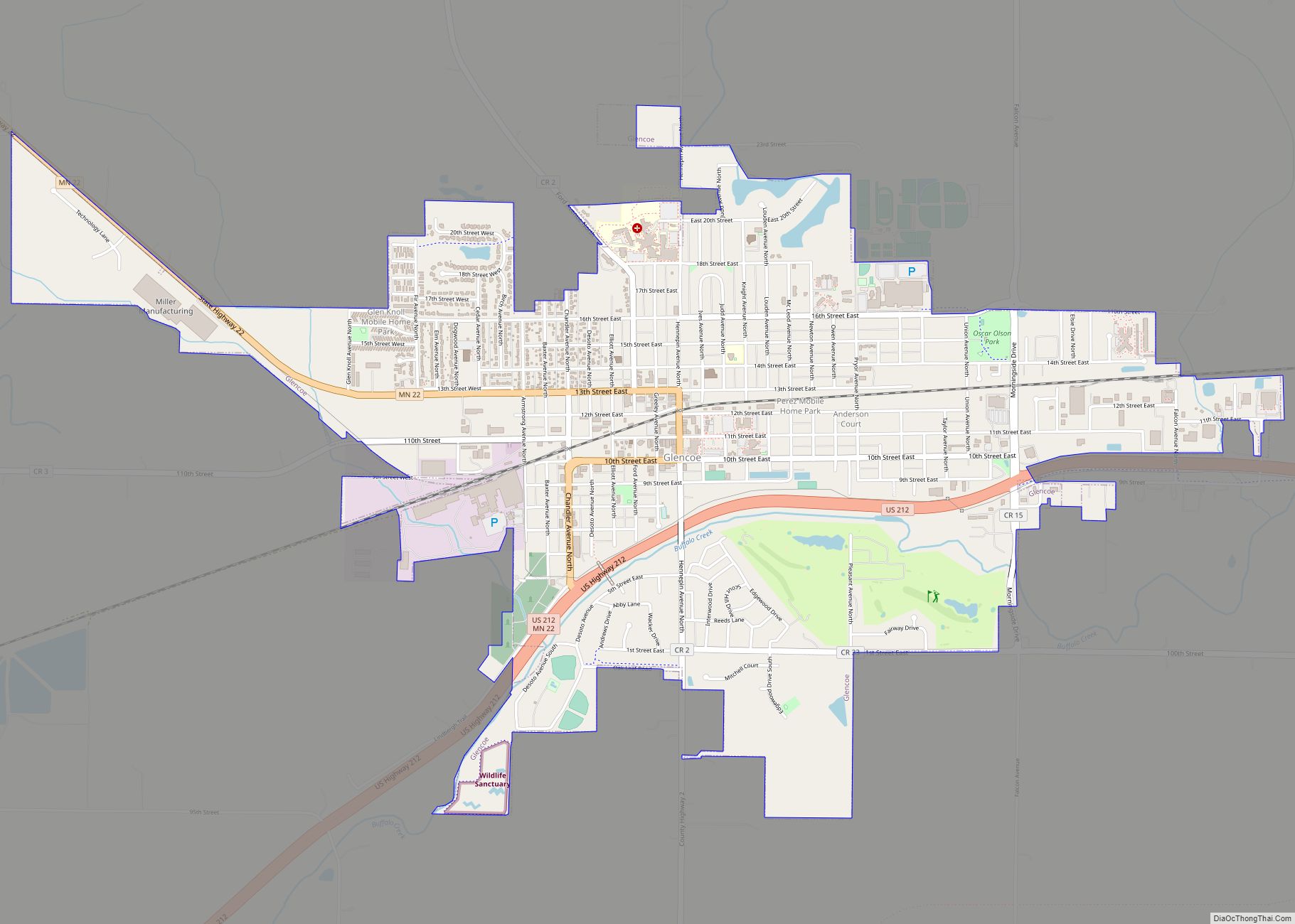
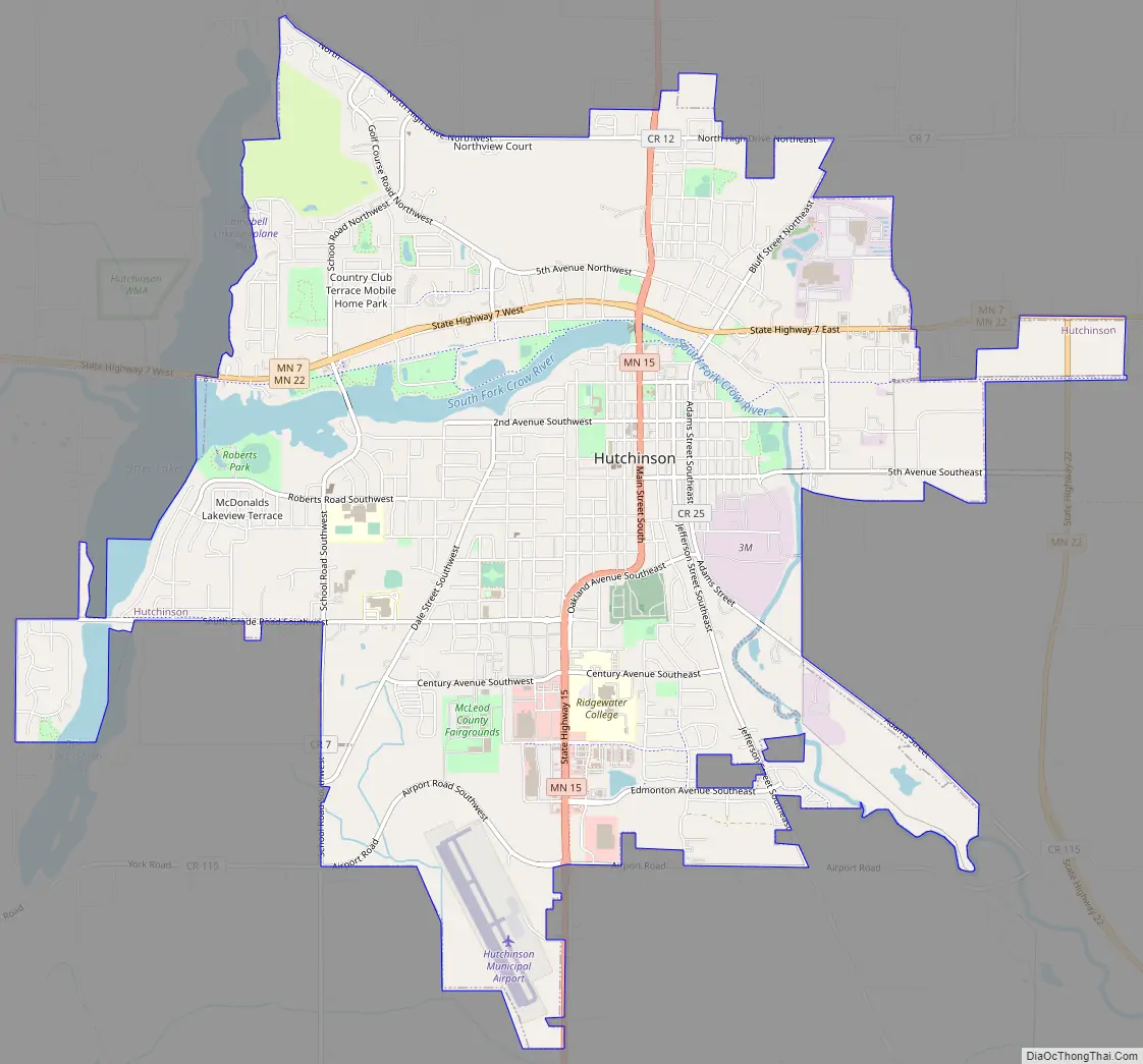
Hutchinson Road Map
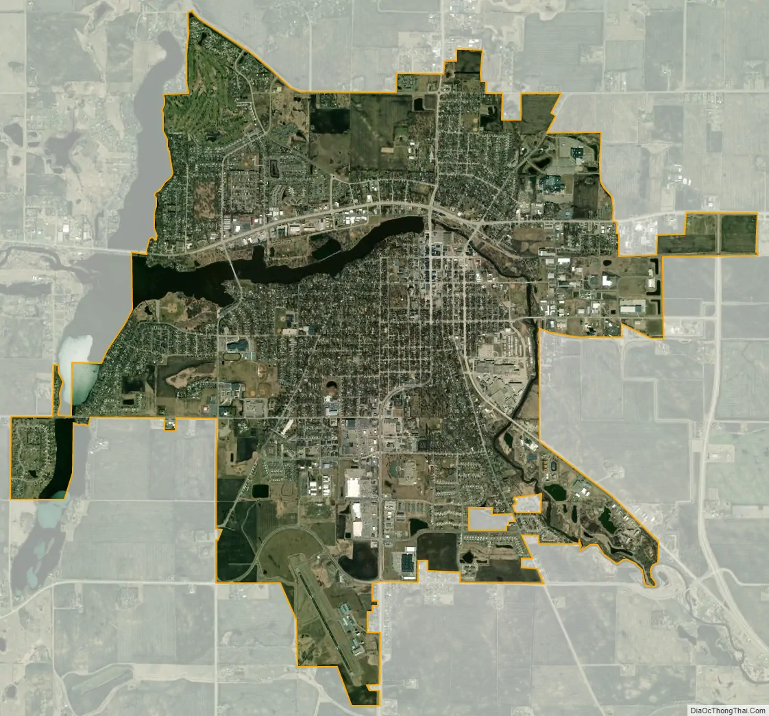
Hutchinson city Satellite Map
Geography
According to the United States Census Bureau, the city has an area of 9.02 square miles (23.36 km), of which 8.60 square miles (22.27 km) is land and 0.42 square miles (1.09 km) is water.
Minnesota State Highways 7, 15, and 22 are three of the city’s main routes.
Major bodies of water include the Crow River, which flows through the downtown; Otter Lake; and Campbell Lake. Started by the Hutchinson brothers, Hutchinson has the nation’s second-oldest city park system (only New York City’s Central Park is older).
See also
Map of Minnesota State and its subdivision:- Aitkin
- Anoka
- Becker
- Beltrami
- Benton
- Big Stone
- Blue Earth
- Brown
- Carlton
- Carver
- Cass
- Chippewa
- Chisago
- Clay
- Clearwater
- Cook
- Cottonwood
- Crow Wing
- Dakota
- Dodge
- Douglas
- Faribault
- Fillmore
- Freeborn
- Goodhue
- Grant
- Hennepin
- Houston
- Hubbard
- Isanti
- Itasca
- Jackson
- Kanabec
- Kandiyohi
- Kittson
- Koochiching
- Lac qui Parle
- Lake
- Lake of the Woods
- Lake Superior
- Le Sueur
- Lincoln
- Lyon
- Mahnomen
- Marshall
- Martin
- McLeod
- Meeker
- Mille Lacs
- Morrison
- Mower
- Murray
- Nicollet
- Nobles
- Norman
- Olmsted
- Otter Tail
- Pennington
- Pine
- Pipestone
- Polk
- Pope
- Ramsey
- Red Lake
- Redwood
- Renville
- Rice
- Rock
- Roseau
- Saint Louis
- Scott
- Sherburne
- Sibley
- Stearns
- Steele
- Stevens
- Swift
- Todd
- Traverse
- Wabasha
- Wadena
- Waseca
- Washington
- Watonwan
- Wilkin
- Winona
- Wright
- Yellow Medicine
- Alabama
- Alaska
- Arizona
- Arkansas
- California
- Colorado
- Connecticut
- Delaware
- District of Columbia
- Florida
- Georgia
- Hawaii
- Idaho
- Illinois
- Indiana
- Iowa
- Kansas
- Kentucky
- Louisiana
- Maine
- Maryland
- Massachusetts
- Michigan
- Minnesota
- Mississippi
- Missouri
- Montana
- Nebraska
- Nevada
- New Hampshire
- New Jersey
- New Mexico
- New York
- North Carolina
- North Dakota
- Ohio
- Oklahoma
- Oregon
- Pennsylvania
- Rhode Island
- South Carolina
- South Dakota
- Tennessee
- Texas
- Utah
- Vermont
- Virginia
- Washington
- West Virginia
- Wisconsin
- Wyoming