Kiester (/ˈkiːstər/ KEE-stər) is a city in Faribault County, Minnesota, United States. The population was 501 at the 2010 census.
| Name: | Kiester city |
|---|---|
| LSAD Code: | 25 |
| LSAD Description: | city (suffix) |
| State: | Minnesota |
| County: | Faribault County |
| Elevation: | 1,253 ft (382 m) |
| Total Area: | 0.43 sq mi (1.11 km²) |
| Land Area: | 0.43 sq mi (1.11 km²) |
| Water Area: | 0.00 sq mi (0.00 km²) |
| Total Population: | 488 |
| Population Density: | 1,140.19/sq mi (439.94/km²) |
| ZIP code: | 56051 |
| Area code: | 507 |
| FIPS code: | 2733056 |
| GNISfeature ID: | 0646138 |
| Website: | cityofkiester.com |
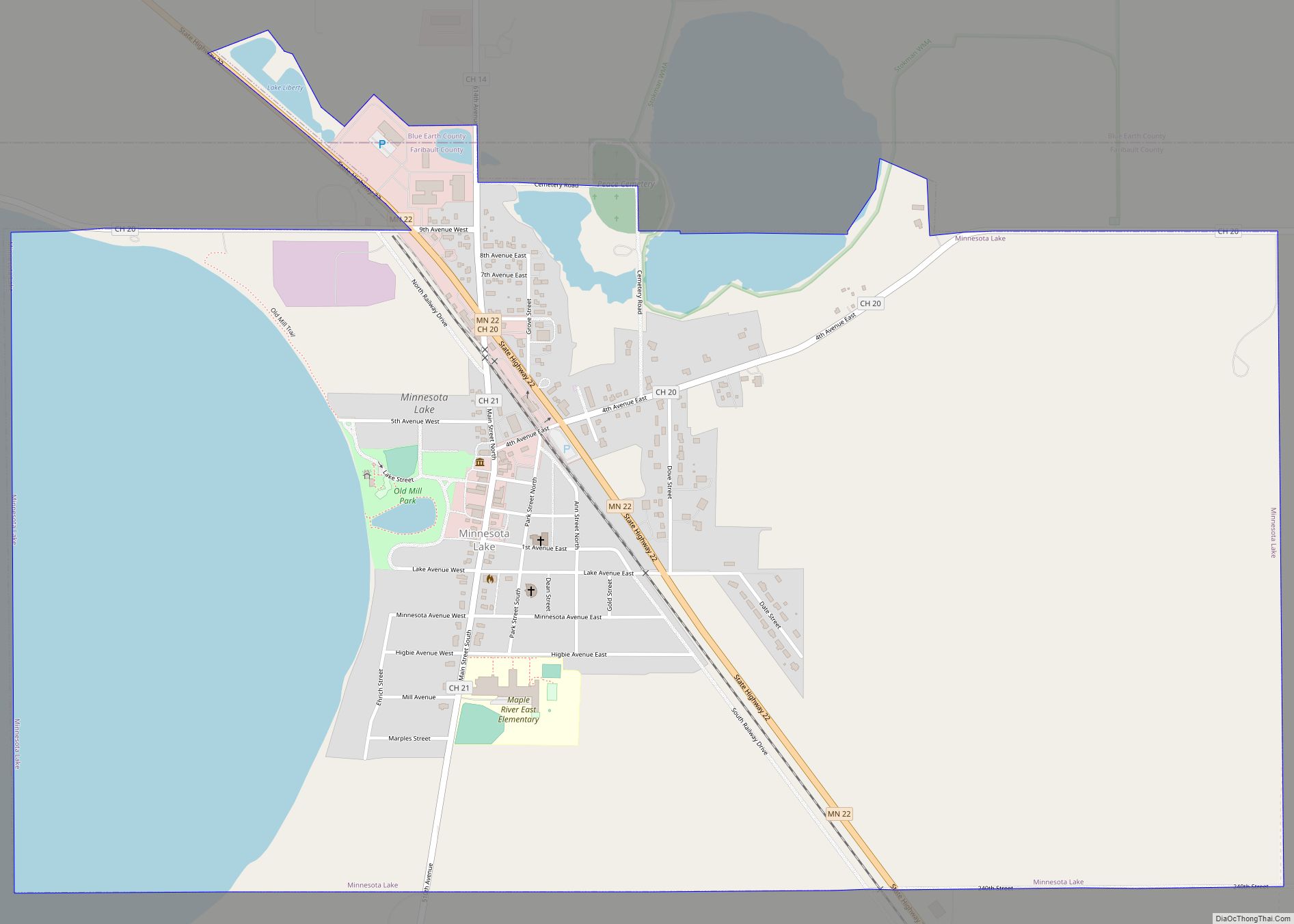
Online Interactive Map
Click on ![]() to view map in "full screen" mode.
to view map in "full screen" mode.
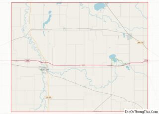
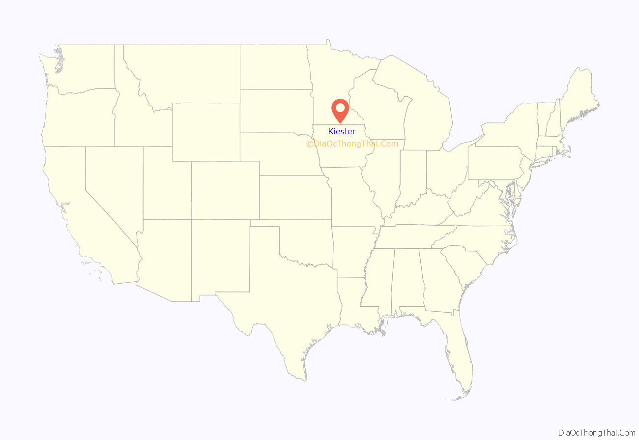
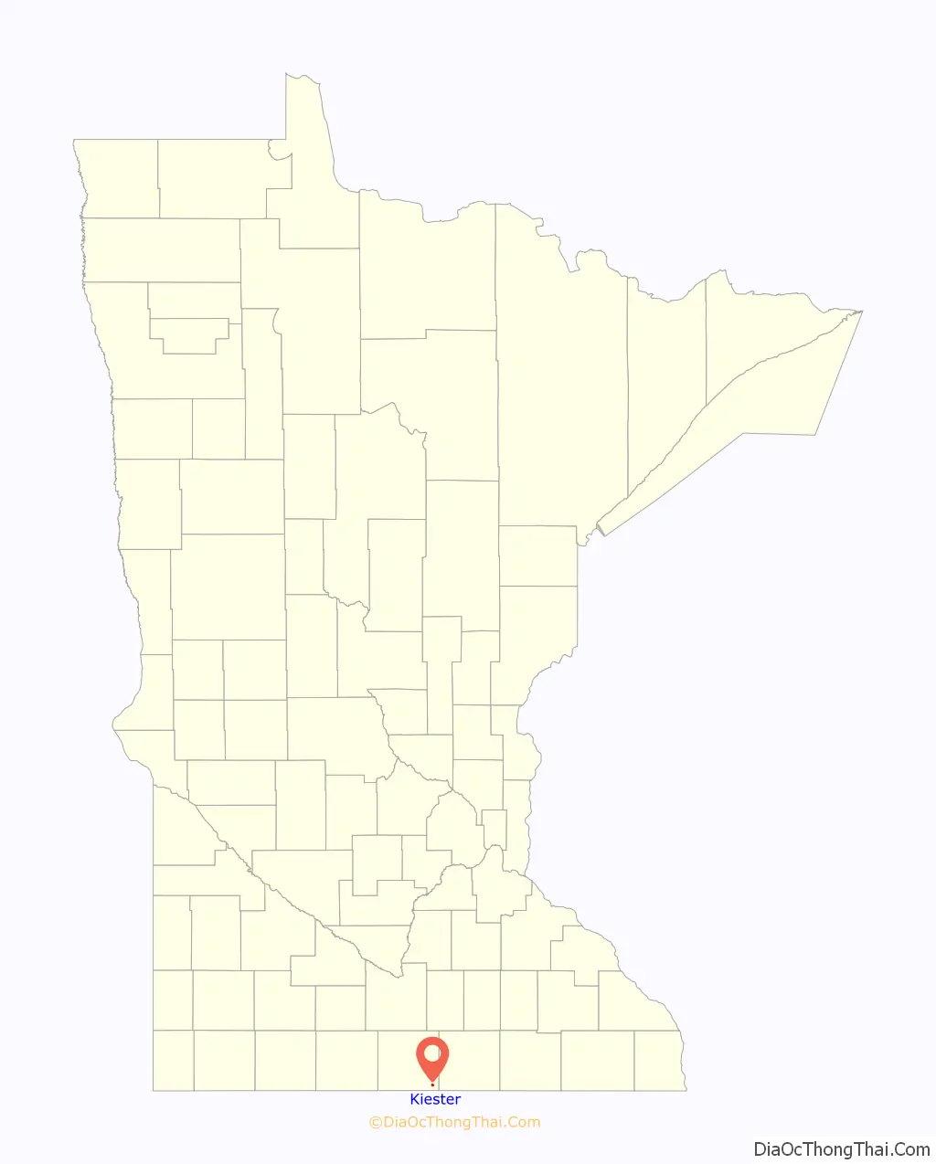
Kiester location map. Where is Kiester city?
History
A post office called Kiester has been in operation since 1882. The city was named for county judge Jacob Armel Kiester.
Tornado
A tornado reportedly touched down in the city of Kiester on June 17, 2010. The tornado caused a large amount of destruction, and several homes were damaged. The tornado was later rated EF2 on the Enhanced Fujita Scale after damage assessment was completed.
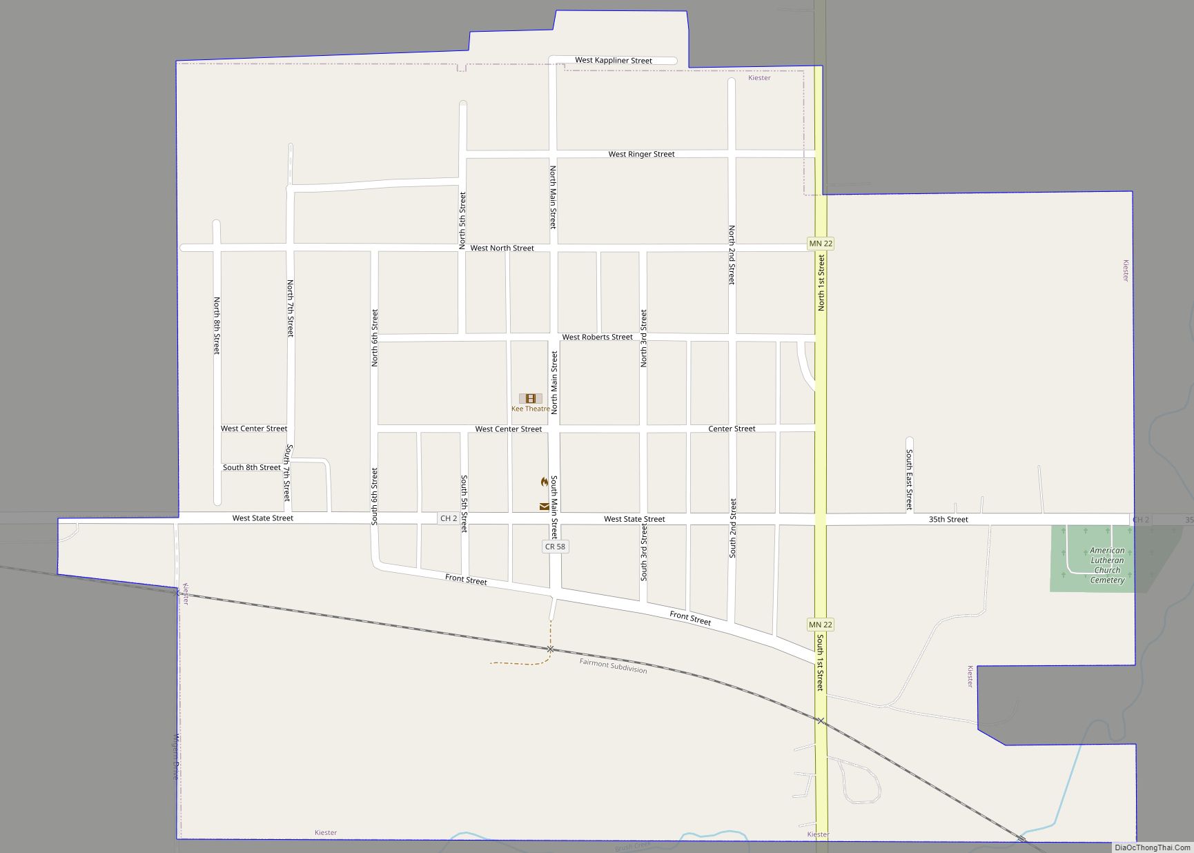
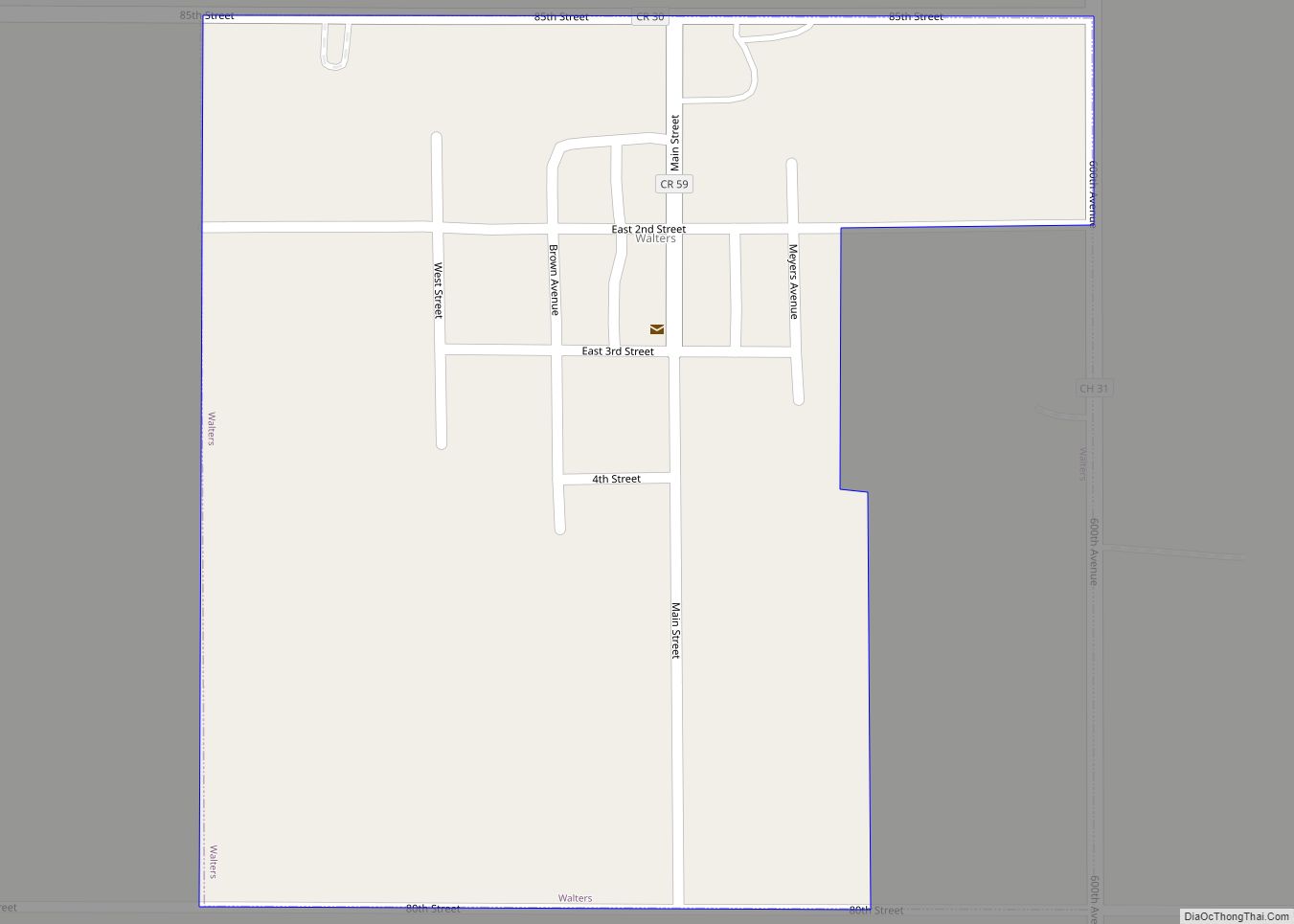
Kiester Road Map
Kiester city Satellite Map
Geography
According to the United States Census Bureau, the city has a total area of 0.44 square miles (1.14 km), all land.
Minnesota State Highway 22 and County Highway 2 are two of the main routes in the community.
See also
Map of Minnesota State and its subdivision:- Aitkin
- Anoka
- Becker
- Beltrami
- Benton
- Big Stone
- Blue Earth
- Brown
- Carlton
- Carver
- Cass
- Chippewa
- Chisago
- Clay
- Clearwater
- Cook
- Cottonwood
- Crow Wing
- Dakota
- Dodge
- Douglas
- Faribault
- Fillmore
- Freeborn
- Goodhue
- Grant
- Hennepin
- Houston
- Hubbard
- Isanti
- Itasca
- Jackson
- Kanabec
- Kandiyohi
- Kittson
- Koochiching
- Lac qui Parle
- Lake
- Lake of the Woods
- Lake Superior
- Le Sueur
- Lincoln
- Lyon
- Mahnomen
- Marshall
- Martin
- McLeod
- Meeker
- Mille Lacs
- Morrison
- Mower
- Murray
- Nicollet
- Nobles
- Norman
- Olmsted
- Otter Tail
- Pennington
- Pine
- Pipestone
- Polk
- Pope
- Ramsey
- Red Lake
- Redwood
- Renville
- Rice
- Rock
- Roseau
- Saint Louis
- Scott
- Sherburne
- Sibley
- Stearns
- Steele
- Stevens
- Swift
- Todd
- Traverse
- Wabasha
- Wadena
- Waseca
- Washington
- Watonwan
- Wilkin
- Winona
- Wright
- Yellow Medicine
- Alabama
- Alaska
- Arizona
- Arkansas
- California
- Colorado
- Connecticut
- Delaware
- District of Columbia
- Florida
- Georgia
- Hawaii
- Idaho
- Illinois
- Indiana
- Iowa
- Kansas
- Kentucky
- Louisiana
- Maine
- Maryland
- Massachusetts
- Michigan
- Minnesota
- Mississippi
- Missouri
- Montana
- Nebraska
- Nevada
- New Hampshire
- New Jersey
- New Mexico
- New York
- North Carolina
- North Dakota
- Ohio
- Oklahoma
- Oregon
- Pennsylvania
- Rhode Island
- South Carolina
- South Dakota
- Tennessee
- Texas
- Utah
- Vermont
- Virginia
- Washington
- West Virginia
- Wisconsin
- Wyoming