Lake Elmo is a city in Washington County, Minnesota, United States. The population was 11,335 at the 2020 census. According to 2021 census estimates, the city is estimated to have a population of 12,899.
Much of the area within the city limits is still farmland, giving the city a rural appearance. Following the loss of a lawsuit against the Metropolitan Council, a regional planning authority, the Minnesota Supreme Court in 2005 ordered that Lake Elmo had to compile a plan in accordance with the Councils regional development guide. The population of Lake Elmo is developing rapidly. It is projected that by 2040, the population of the city will be over 21,000.
| Name: | Lake Elmo city |
|---|---|
| LSAD Code: | 25 |
| LSAD Description: | city (suffix) |
| State: | Minnesota |
| County: | Washington County |
| Founded: | 1925 |
| Elevation: | 938 ft (286 m) |
| Total Area: | 24.19 sq mi (62.64 km²) |
| Land Area: | 22.09 sq mi (57.22 km²) |
| Water Area: | 2.09 sq mi (5.42 km²) |
| Total Population: | 11,335 |
| Population Density: | 513.08/sq mi (198.10/km²) |
| ZIP code: | 55042 |
| Area code: | 651 |
| FIPS code: | 2734244 |
| GNISfeature ID: | 2395589 |
| Website: | lakeelmo.org |
Online Interactive Map
Click on ![]() to view map in "full screen" mode.
to view map in "full screen" mode.
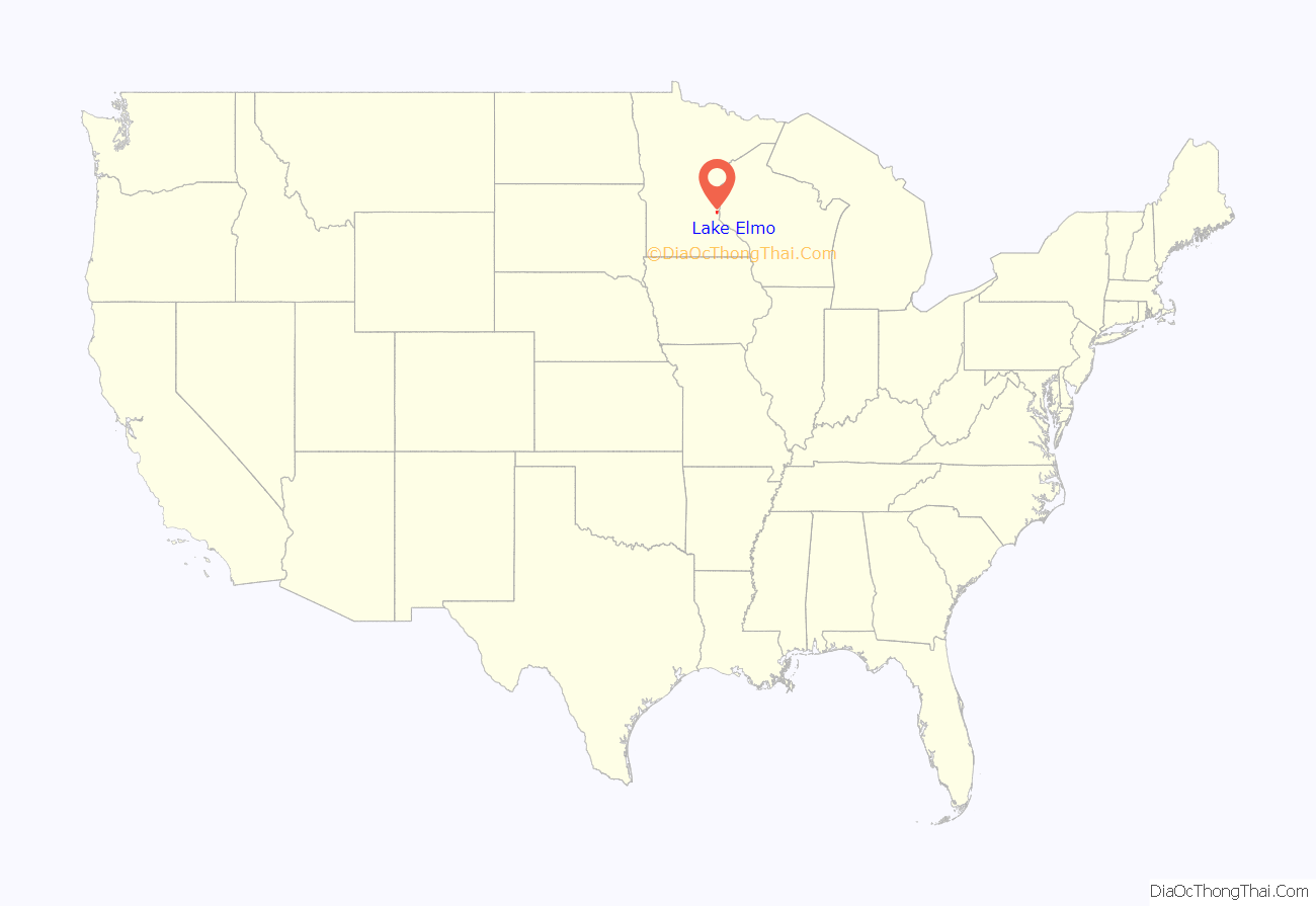
Lake Elmo location map. Where is Lake Elmo city?
History
The city took its name from nearby Lake Elmo. Lake Elmo began with one farm in 1852 on the southwest corner of the intersection of what is now Manning Avenue and 30th Street, just southeast of downtown Lake Elmo and across the highway from the Lake Elmo Airport (FAA LID: 21D). The barn was originally built in 1875 and restored in 1998 as a house. The 1852 farmhouse was intentionally burned down in March 2007.
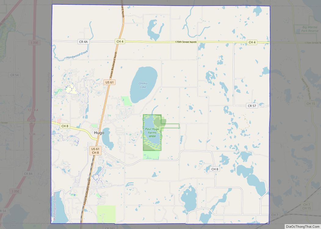
Lake Elmo Road Map
Lake Elmo city Satellite Map
Geography
According to the United States Census Bureau, the city has a total area of 24.36 square miles (63.09 km); 22.25 square miles (57.63 km) is land and 2.11 square miles (5.46 km) is water.
Minnesota State Highway 36 runs east–west along Lake Elmo’s northern boundary line. Interstate 94 runs east–west along Lake Elmo’s southern boundary line. County State-Aid Highway 14 serves as the main east-west route, while County State-Aid Highway 17 serves as the main north-south route.
See also
Map of Minnesota State and its subdivision:- Aitkin
- Anoka
- Becker
- Beltrami
- Benton
- Big Stone
- Blue Earth
- Brown
- Carlton
- Carver
- Cass
- Chippewa
- Chisago
- Clay
- Clearwater
- Cook
- Cottonwood
- Crow Wing
- Dakota
- Dodge
- Douglas
- Faribault
- Fillmore
- Freeborn
- Goodhue
- Grant
- Hennepin
- Houston
- Hubbard
- Isanti
- Itasca
- Jackson
- Kanabec
- Kandiyohi
- Kittson
- Koochiching
- Lac qui Parle
- Lake
- Lake of the Woods
- Lake Superior
- Le Sueur
- Lincoln
- Lyon
- Mahnomen
- Marshall
- Martin
- McLeod
- Meeker
- Mille Lacs
- Morrison
- Mower
- Murray
- Nicollet
- Nobles
- Norman
- Olmsted
- Otter Tail
- Pennington
- Pine
- Pipestone
- Polk
- Pope
- Ramsey
- Red Lake
- Redwood
- Renville
- Rice
- Rock
- Roseau
- Saint Louis
- Scott
- Sherburne
- Sibley
- Stearns
- Steele
- Stevens
- Swift
- Todd
- Traverse
- Wabasha
- Wadena
- Waseca
- Washington
- Watonwan
- Wilkin
- Winona
- Wright
- Yellow Medicine
- Alabama
- Alaska
- Arizona
- Arkansas
- California
- Colorado
- Connecticut
- Delaware
- District of Columbia
- Florida
- Georgia
- Hawaii
- Idaho
- Illinois
- Indiana
- Iowa
- Kansas
- Kentucky
- Louisiana
- Maine
- Maryland
- Massachusetts
- Michigan
- Minnesota
- Mississippi
- Missouri
- Montana
- Nebraska
- Nevada
- New Hampshire
- New Jersey
- New Mexico
- New York
- North Carolina
- North Dakota
- Ohio
- Oklahoma
- Oregon
- Pennsylvania
- Rhode Island
- South Carolina
- South Dakota
- Tennessee
- Texas
- Utah
- Vermont
- Virginia
- Washington
- West Virginia
- Wisconsin
- Wyoming
