Lake Lillian is a city in Kandiyohi County, Minnesota, United States. The population was 238 at the 2010 census.
| Name: | Lake Lillian city |
|---|---|
| LSAD Code: | 25 |
| LSAD Description: | city (suffix) |
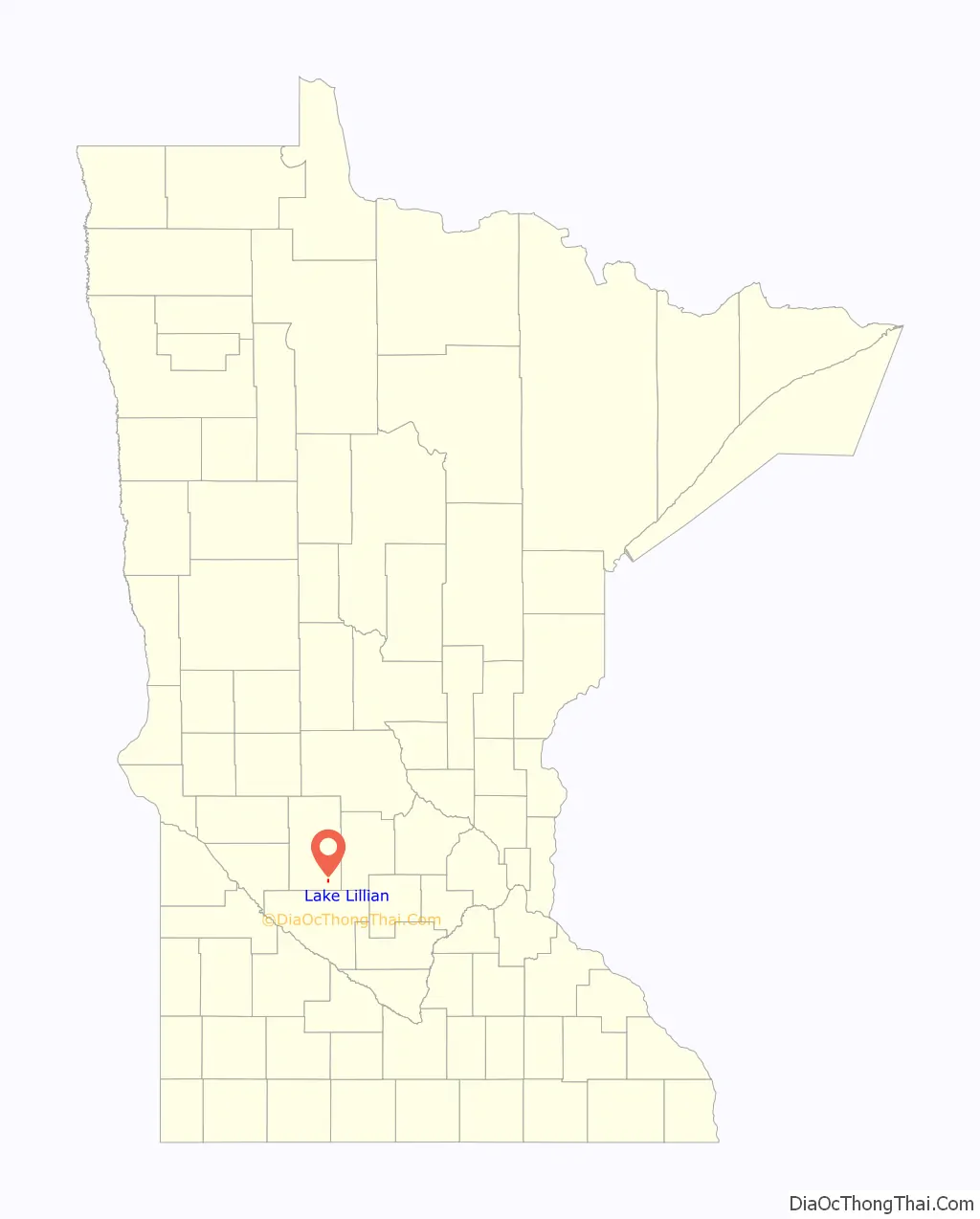
| State: | Minnesota |
| County: | Kandiyohi County |
| Elevation: | 1,109 ft (338 m) |
| Total Area: | 0.45 sq mi (1.17 km²) |
| Land Area: | 0.45 sq mi (1.17 km²) |
| Water Area: | 0.00 sq mi (0.00 km²) |
| Total Population: | 246 |
| Population Density: | 543.05/sq mi (209.85/km²) |
| ZIP code: | 56253 |
| Area code: | 320 |
| FIPS code: | 2734676 |
| GNISfeature ID: | 0646640 |
| Website: | lakelillian.govoffice.com |
Online Interactive Map
Click on ![]() to view map in "full screen" mode.
to view map in "full screen" mode.
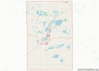
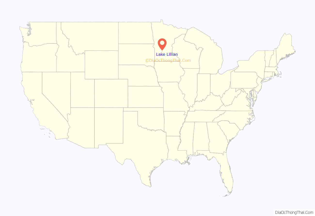
Lake Lillian location map. Where is Lake Lillian city?
History
The town of Lake Lillian formed in February 1923 when railroad tracks were laid for the Luce Line Railroad. The name Lake Lillian came from the nearby lake Lake Lillian. The lake was named after Lillian Whitefield, wife of Edwin Whitefield who explored this area in 1856. The town was incorporated on February 25, 1926. The first school was built in Lake Lillian in 1913. In 1926, there was a report of oil being discovered in the city limits. During World War II, a hemp processing plan was built near Lake Lillian to help the war effort. In 1955, a new school was built. In 1965, Lake Lillian voted to approve the sale of liquor.
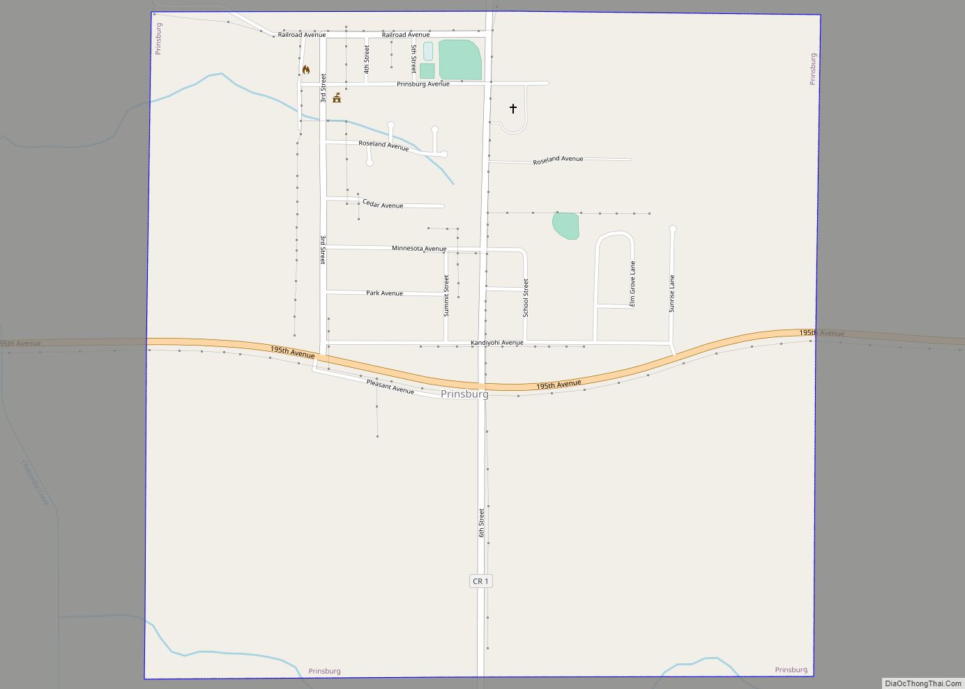
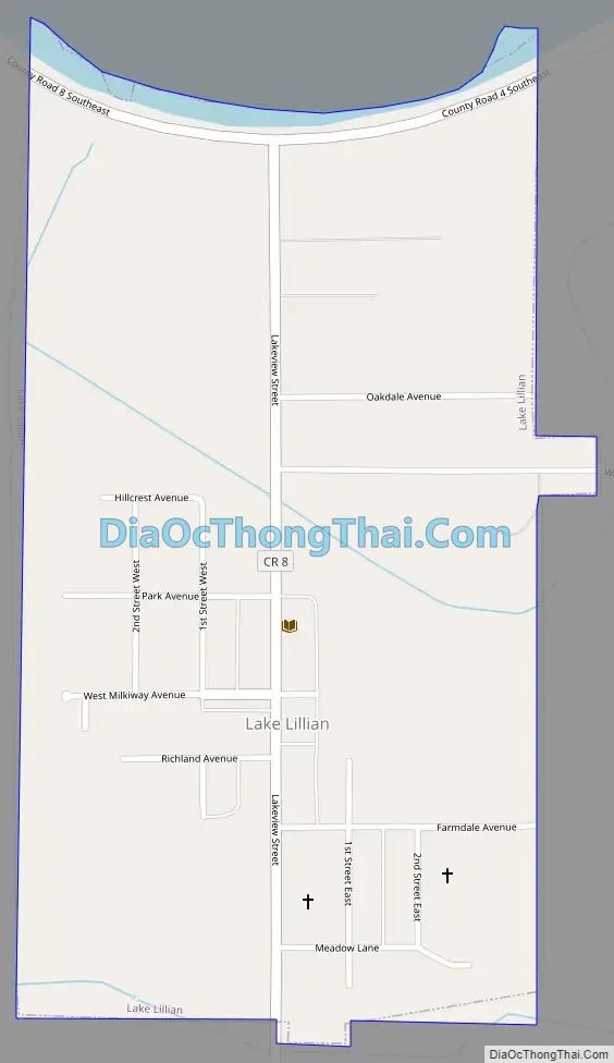
Lake Lillian Road Map
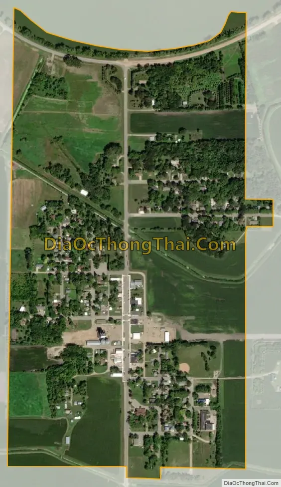
Lake Lillian city Satellite Map
Geography
According to the United States Census Bureau, the city has a total area of 0.46 square miles (1.19 km), all land.
Minnesota State Highway 7 serves as a main route in the community.
Directly to the north is Lake Lillian which has a total area of 1,149 acres.
See also
Map of Minnesota State and its subdivision:- Aitkin
- Anoka
- Becker
- Beltrami
- Benton
- Big Stone
- Blue Earth
- Brown
- Carlton
- Carver
- Cass
- Chippewa
- Chisago
- Clay
- Clearwater
- Cook
- Cottonwood
- Crow Wing
- Dakota
- Dodge
- Douglas
- Faribault
- Fillmore
- Freeborn
- Goodhue
- Grant
- Hennepin
- Houston
- Hubbard
- Isanti
- Itasca
- Jackson
- Kanabec
- Kandiyohi
- Kittson
- Koochiching
- Lac qui Parle
- Lake
- Lake of the Woods
- Lake Superior
- Le Sueur
- Lincoln
- Lyon
- Mahnomen
- Marshall
- Martin
- McLeod
- Meeker
- Mille Lacs
- Morrison
- Mower
- Murray
- Nicollet
- Nobles
- Norman
- Olmsted
- Otter Tail
- Pennington
- Pine
- Pipestone
- Polk
- Pope
- Ramsey
- Red Lake
- Redwood
- Renville
- Rice
- Rock
- Roseau
- Saint Louis
- Scott
- Sherburne
- Sibley
- Stearns
- Steele
- Stevens
- Swift
- Todd
- Traverse
- Wabasha
- Wadena
- Waseca
- Washington
- Watonwan
- Wilkin
- Winona
- Wright
- Yellow Medicine
- Alabama
- Alaska
- Arizona
- Arkansas
- California
- Colorado
- Connecticut
- Delaware
- District of Columbia
- Florida
- Georgia
- Hawaii
- Idaho
- Illinois
- Indiana
- Iowa
- Kansas
- Kentucky
- Louisiana
- Maine
- Maryland
- Massachusetts
- Michigan
- Minnesota
- Mississippi
- Missouri
- Montana
- Nebraska
- Nevada
- New Hampshire
- New Jersey
- New Mexico
- New York
- North Carolina
- North Dakota
- Ohio
- Oklahoma
- Oregon
- Pennsylvania
- Rhode Island
- South Carolina
- South Dakota
- Tennessee
- Texas
- Utah
- Vermont
- Virginia
- Washington
- West Virginia
- Wisconsin
- Wyoming