Lismore is a city in Nobles County, Minnesota, United States. The population was 227 at the 2010 census.
| Name: | Lismore city |
|---|---|
| LSAD Code: | 25 |
| LSAD Description: | city (suffix) |
| State: | Minnesota |
| County: | Nobles County |
| Elevation: | 1,683 ft (513 m) |
| Total Area: | 0.35 sq mi (0.90 km²) |
| Land Area: | 0.35 sq mi (0.90 km²) |
| Water Area: | 0.00 sq mi (0.00 km²) |
| Total Population: | 202 |
| Population Density: | 578.80/sq mi (223.35/km²) |
| ZIP code: | 56155 |
| Area code: | 507 |
| FIPS code: | 2737412 |
| GNISfeature ID: | 0646741 |
| Website: | www.lismore.govoffice2.com |
Online Interactive Map
Click on ![]() to view map in "full screen" mode.
to view map in "full screen" mode.
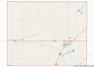
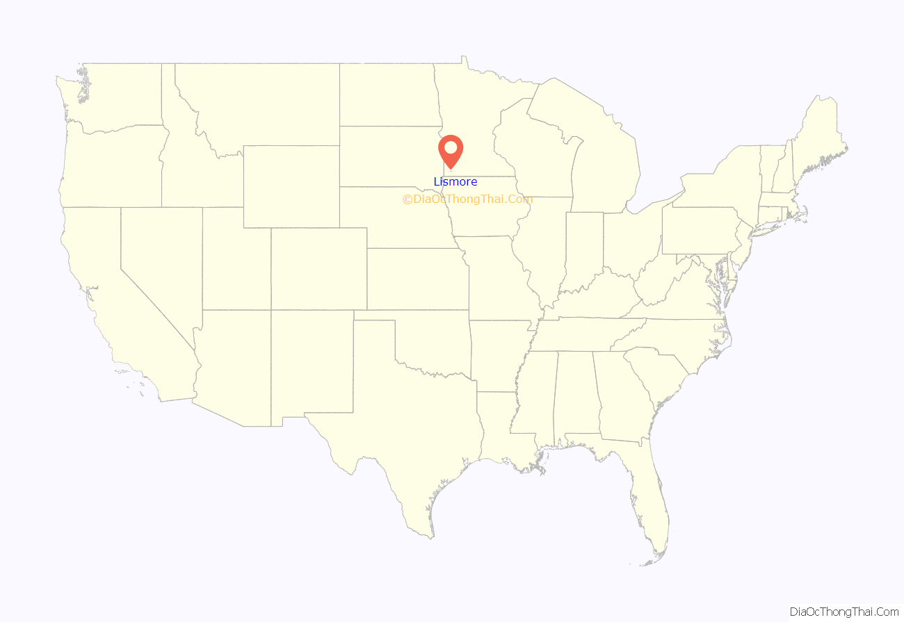
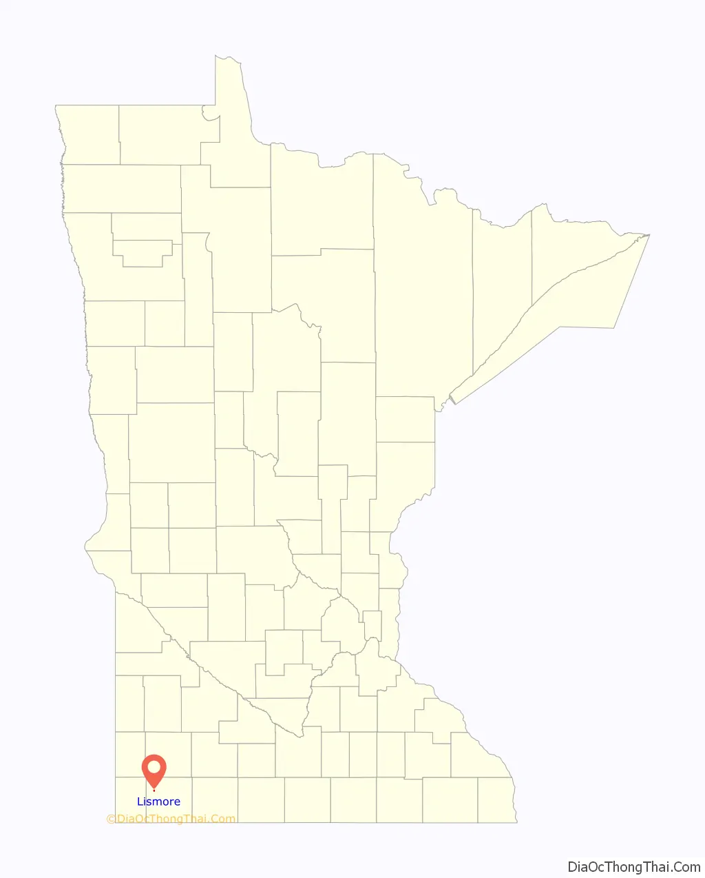
Lismore location map. Where is Lismore city?
History
The town of Lismore was named after Lismore Township which, in turn, was named after a village in County Waterford, Ireland, noted for its beautiful castle. The name for Lismore Township was suggested by Father C. J. Knauf of Adrian.
Lismore owes its existence to the building of the Burlington Railroad through northeast Nobles County. The railroad established the towns of Reading and Wilmont in 1899. When the railroad reached present-day Lismore at 3:00 pm on Saturday, June 9, 1900, construction of the town immediately commenced.
The first business on site was the St. Croix Lumber company which sold its wares from a tent pitched next to a large pile of lumber hauled in from Wilmont. The first building in town was built by James Beacom and was used as a saloon. The second building in town was the O. B. Bratager store building. James Montgomery started a small grain elevator, and James Ramage opened a lumber yard and hardware store under the management of Arch Priest. The Bank of Lismore opened its doors on September 1, 1900, and was incorporated as the State Bank of Lismore three months later. A livery stable, a butcher shop, a restaurant, and a blacksmith shop were also opened in that first year. A school house, churches, several businesses, and many residences were constructed in 1901.
On December 6, 1901, the Lismore Leader was able to boast:
Lismore, for a place only a little over one year old, has made good and substantial growth… Lismore has one bank, two general merchants, one furniture store, two saloons, two pool rooms, two lumber yards, three elevators, four coal dealers, one hotel, one hardware store, two machinery firms, one blacksmith shop, one livery stable, one dray line, and one newspaper.
A census taken on April 10, 1902, showed a population of 186. The town was quickly incorporated, and its first municipal council meeting took place on June 17, 1902, with Emil Graf selected as president. Lismore’s population in the 2000 census was 238.
Lismore, Minnesota was a course in Need for Speed: The Run.
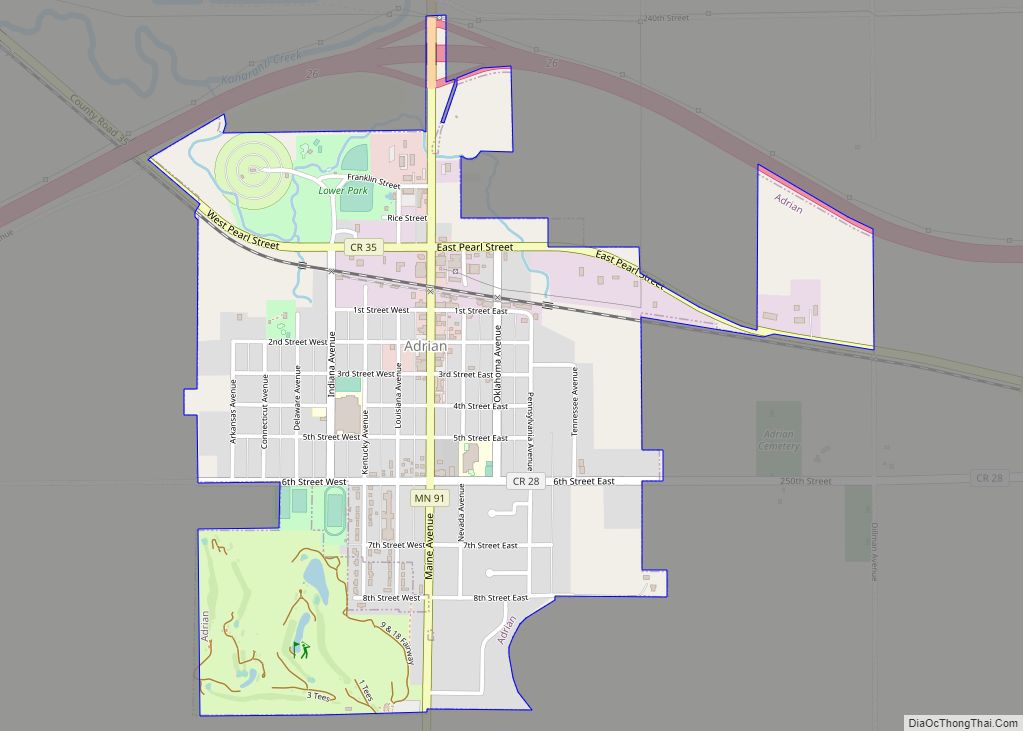
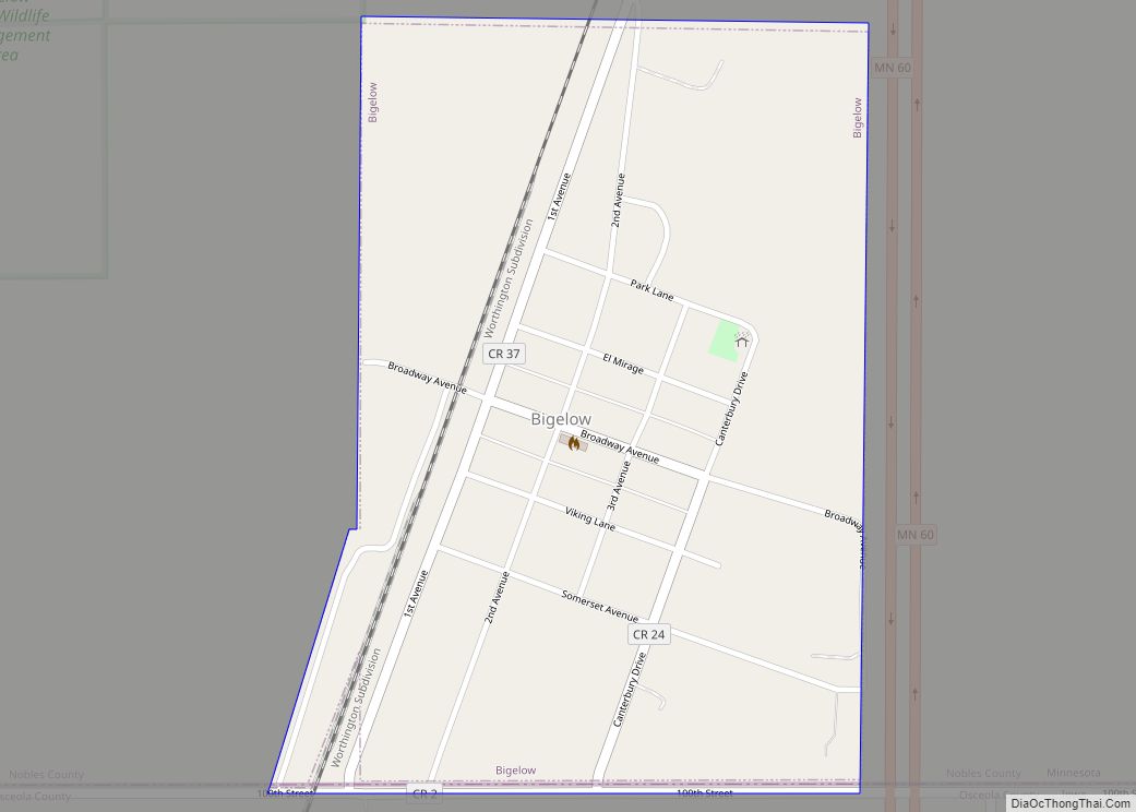
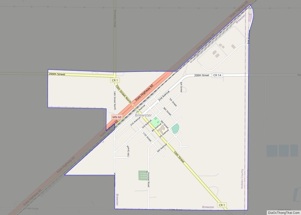
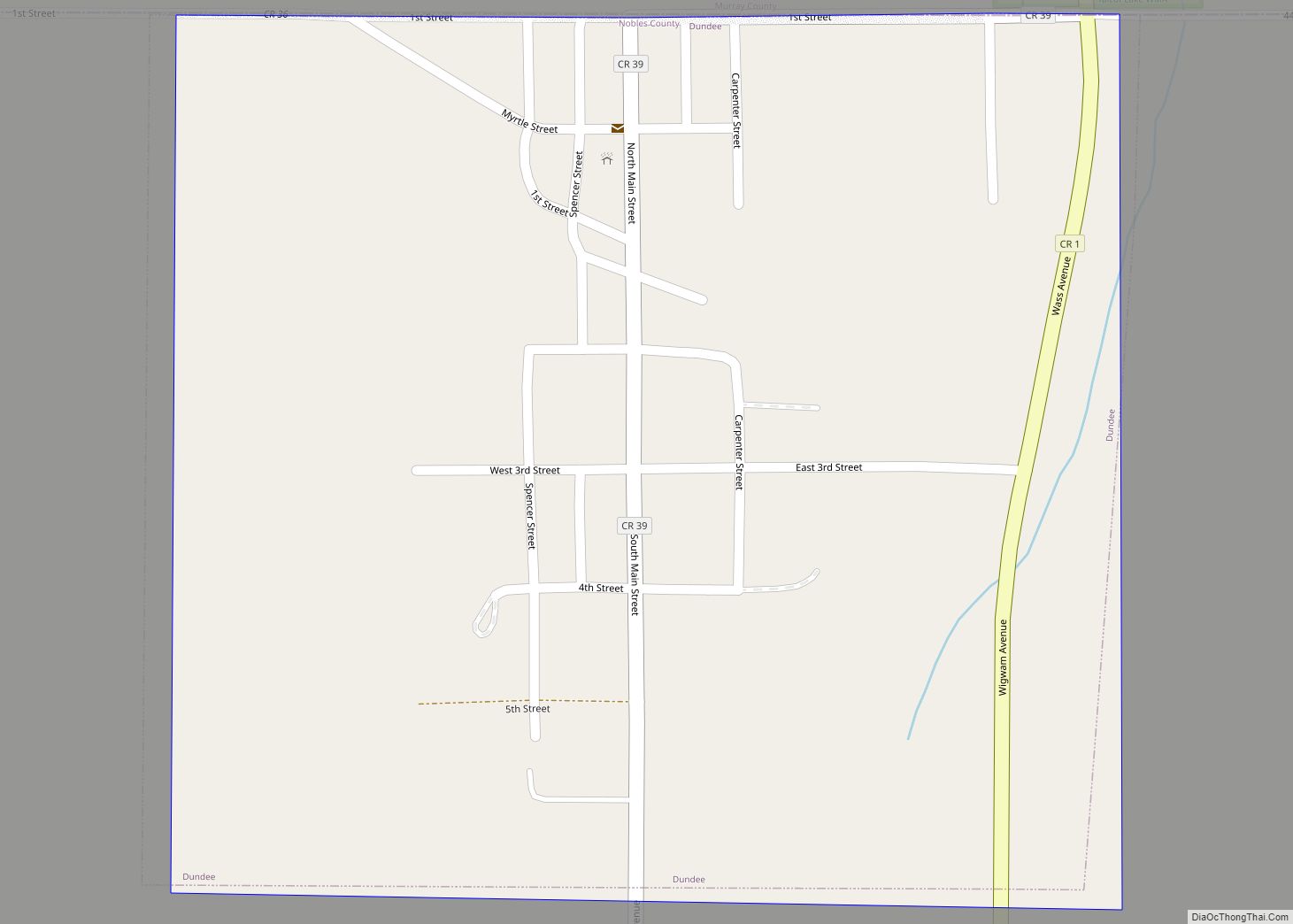
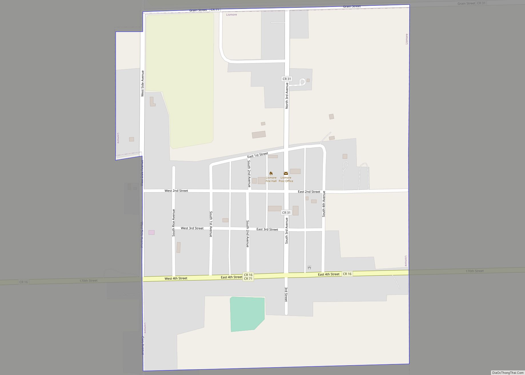
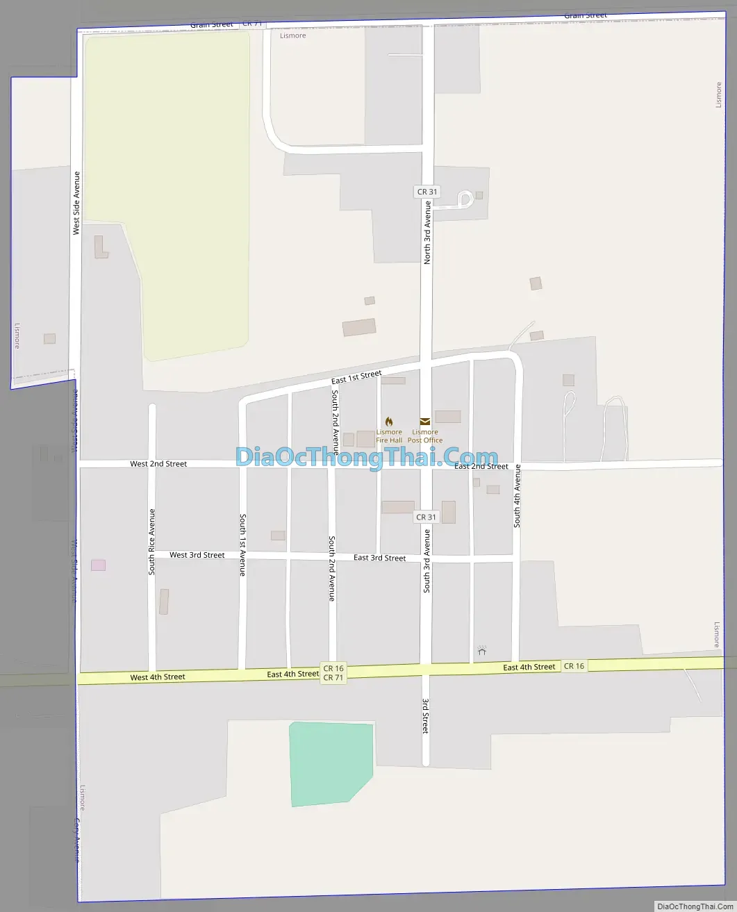
Lismore Road Map
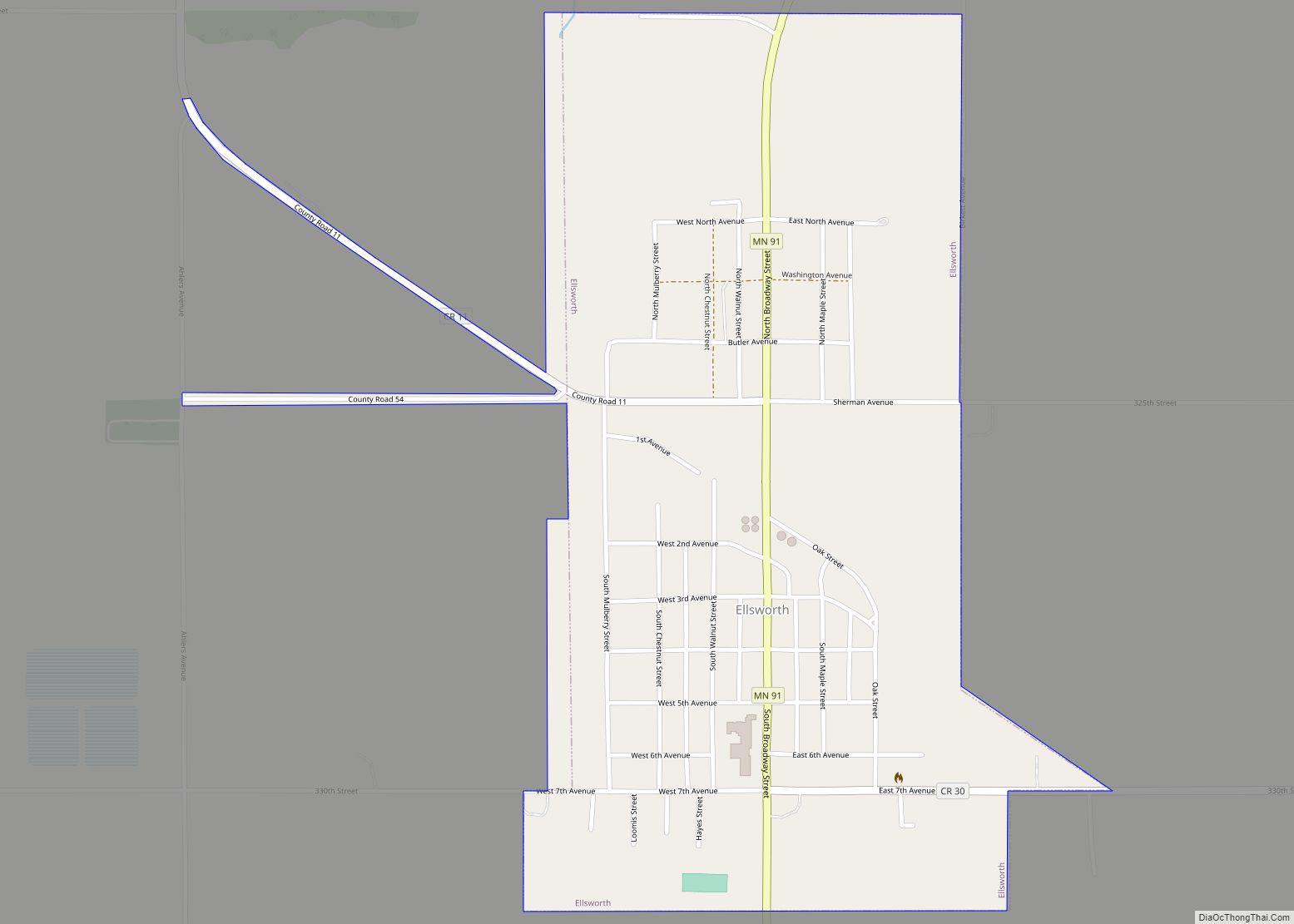
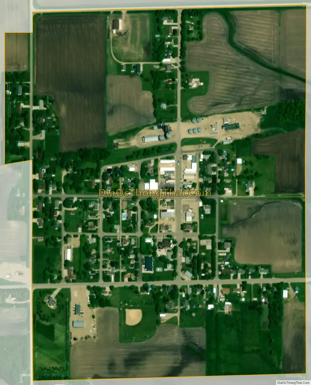
Lismore city Satellite Map
Geography
According to the United States Census Bureau, the city has a total area of 0.36 square miles (0.93 km), all land. Lismore is situated on the western slope of the Buffalo Ridge, a drainage divide separating the Mississippi and Missouri River systems.
Main highways include:
- Minnesota State Highway 91
- Nobles County Road 16
- Nobles County Road 19
See also
Map of Minnesota State and its subdivision:- Aitkin
- Anoka
- Becker
- Beltrami
- Benton
- Big Stone
- Blue Earth
- Brown
- Carlton
- Carver
- Cass
- Chippewa
- Chisago
- Clay
- Clearwater
- Cook
- Cottonwood
- Crow Wing
- Dakota
- Dodge
- Douglas
- Faribault
- Fillmore
- Freeborn
- Goodhue
- Grant
- Hennepin
- Houston
- Hubbard
- Isanti
- Itasca
- Jackson
- Kanabec
- Kandiyohi
- Kittson
- Koochiching
- Lac qui Parle
- Lake
- Lake of the Woods
- Lake Superior
- Le Sueur
- Lincoln
- Lyon
- Mahnomen
- Marshall
- Martin
- McLeod
- Meeker
- Mille Lacs
- Morrison
- Mower
- Murray
- Nicollet
- Nobles
- Norman
- Olmsted
- Otter Tail
- Pennington
- Pine
- Pipestone
- Polk
- Pope
- Ramsey
- Red Lake
- Redwood
- Renville
- Rice
- Rock
- Roseau
- Saint Louis
- Scott
- Sherburne
- Sibley
- Stearns
- Steele
- Stevens
- Swift
- Todd
- Traverse
- Wabasha
- Wadena
- Waseca
- Washington
- Watonwan
- Wilkin
- Winona
- Wright
- Yellow Medicine
- Alabama
- Alaska
- Arizona
- Arkansas
- California
- Colorado
- Connecticut
- Delaware
- District of Columbia
- Florida
- Georgia
- Hawaii
- Idaho
- Illinois
- Indiana
- Iowa
- Kansas
- Kentucky
- Louisiana
- Maine
- Maryland
- Massachusetts
- Michigan
- Minnesota
- Mississippi
- Missouri
- Montana
- Nebraska
- Nevada
- New Hampshire
- New Jersey
- New Mexico
- New York
- North Carolina
- North Dakota
- Ohio
- Oklahoma
- Oregon
- Pennsylvania
- Rhode Island
- South Carolina
- South Dakota
- Tennessee
- Texas
- Utah
- Vermont
- Virginia
- Washington
- West Virginia
- Wisconsin
- Wyoming