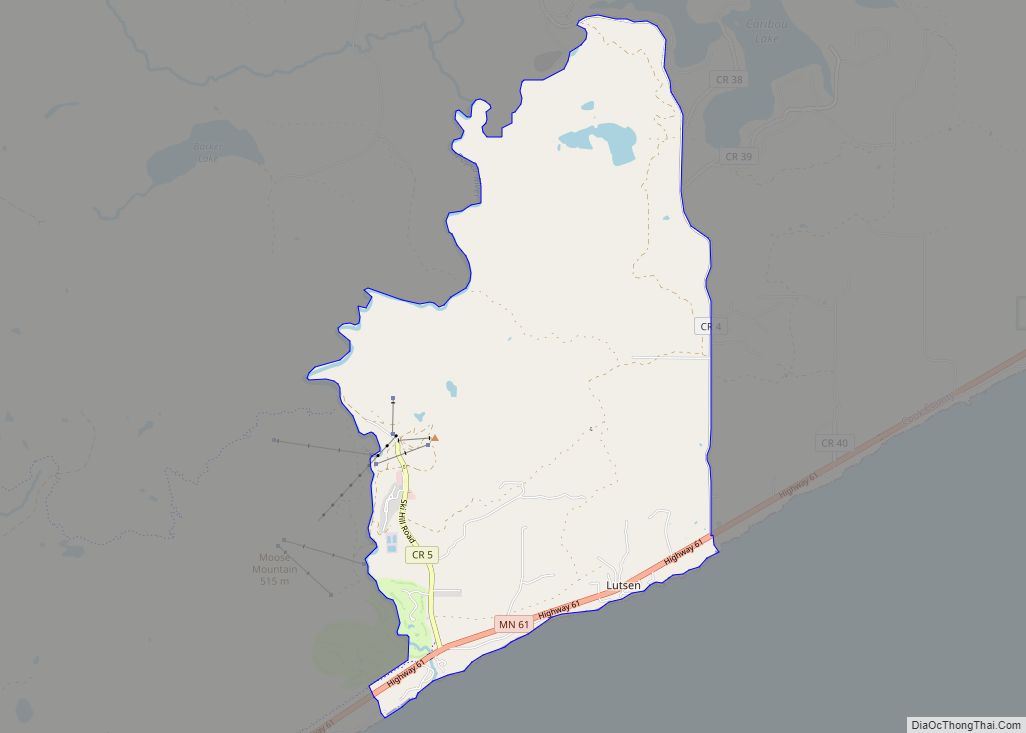
Lutsen (/ˈluːtsən/ LOOT-sən) is an unincorporated community and census-designated place (CDP) in Lutsen Township, Cook County, Minnesota, United States. As of the 2020 census, its population was 220.
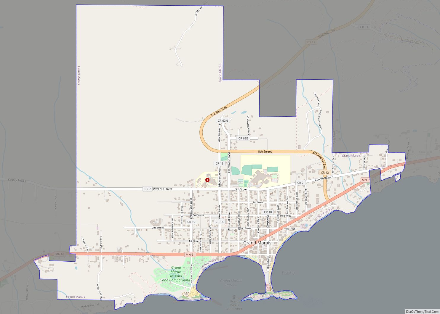
Lutsen is located within the Superior National Forest, on the North Shore of Lake Superior. It is 18 miles southwest of the city of Grand Marais; and 65 miles northeast of the city of Two Harbors. Cascade River State Park and the Superior Hiking Trail are both nearby.
Minnesota Highway 61 serves as a main route in the community.
| Name: | Lutsen CDP |
|---|---|
| LSAD Code: | 57 |
| LSAD Description: | CDP (suffix) |
| State: | Minnesota |
| County: | Cook County |
| Elevation: | 669 ft (204 m) |
| Total Area: | 10.69 sq mi (27.69 km²) |
| Land Area: | 10.58 sq mi (27.39 km²) |
| Water Area: | 0.12 sq mi (0.30 km²) |
| Total Population: | 220 |
| Population Density: | 20.80/sq mi (8.03/km²) |
| ZIP code: | 55604, 55612 |
| Area code: | 218 |
| FIPS code: | 2738546 |
| GNISfeature ID: | 657265 |
Online Interactive Map
Click on ![]() to view map in "full screen" mode.
to view map in "full screen" mode.
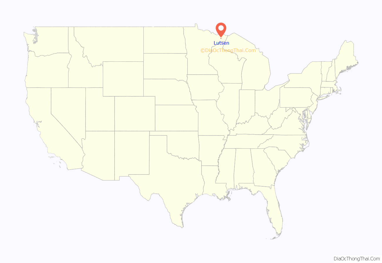
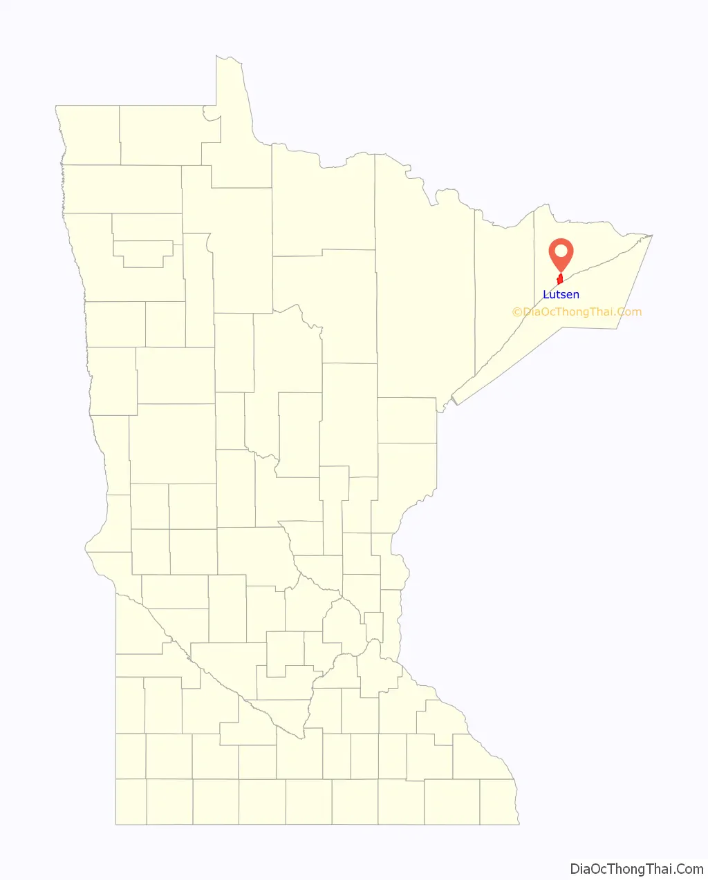
Lutsen location map. Where is Lutsen CDP?
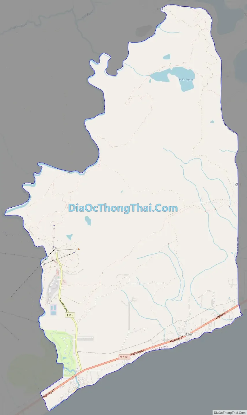
Lutsen Road Map
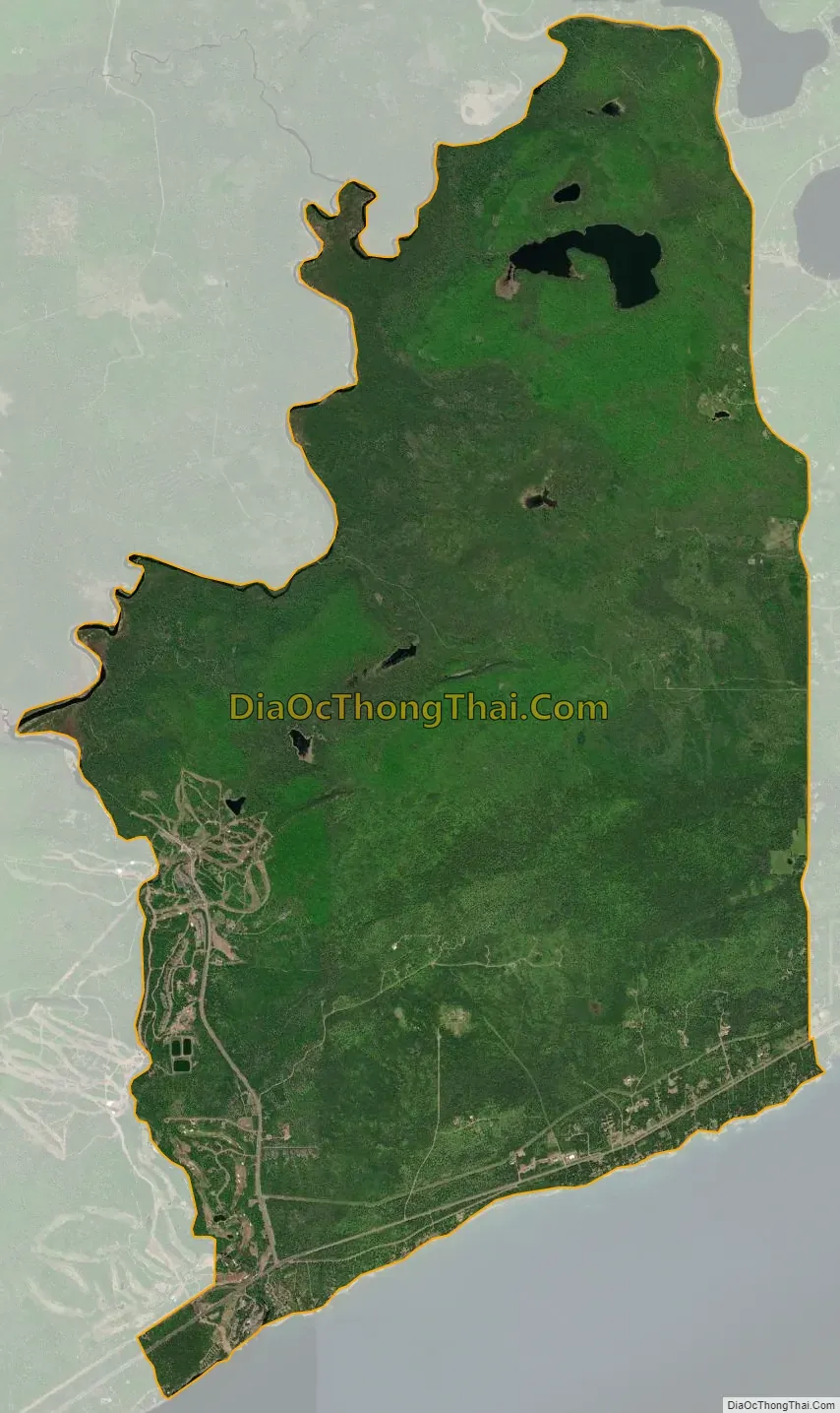
Lutsen city Satellite Map
See also
Map of Minnesota State and its subdivision:- Aitkin
- Anoka
- Becker
- Beltrami
- Benton
- Big Stone
- Blue Earth
- Brown
- Carlton
- Carver
- Cass
- Chippewa
- Chisago
- Clay
- Clearwater
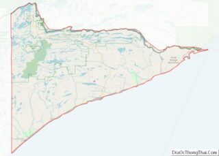
- Cook
- Cottonwood
- Crow Wing
- Dakota
- Dodge
- Douglas
- Faribault
- Fillmore
- Freeborn
- Goodhue
- Grant
- Hennepin
- Houston
- Hubbard
- Isanti
- Itasca
- Jackson
- Kanabec
- Kandiyohi
- Kittson
- Koochiching
- Lac qui Parle
- Lake
- Lake of the Woods
- Lake Superior
- Le Sueur
- Lincoln
- Lyon
- Mahnomen
- Marshall
- Martin
- McLeod
- Meeker
- Mille Lacs
- Morrison
- Mower
- Murray
- Nicollet
- Nobles
- Norman
- Olmsted
- Otter Tail
- Pennington
- Pine
- Pipestone
- Polk
- Pope
- Ramsey
- Red Lake
- Redwood
- Renville
- Rice
- Rock
- Roseau
- Saint Louis
- Scott
- Sherburne
- Sibley
- Stearns
- Steele
- Stevens
- Swift
- Todd
- Traverse
- Wabasha
- Wadena
- Waseca
- Washington
- Watonwan
- Wilkin
- Winona
- Wright
- Yellow Medicine
- Alabama
- Alaska
- Arizona
- Arkansas
- California
- Colorado
- Connecticut
- Delaware
- District of Columbia
- Florida
- Georgia
- Hawaii
- Idaho
- Illinois
- Indiana
- Iowa
- Kansas
- Kentucky
- Louisiana
- Maine
- Maryland
- Massachusetts
- Michigan
- Minnesota
- Mississippi
- Missouri
- Montana
- Nebraska
- Nevada
- New Hampshire
- New Jersey
- New Mexico
- New York
- North Carolina
- North Dakota
- Ohio
- Oklahoma
- Oregon
- Pennsylvania
- Rhode Island
- South Carolina
- South Dakota
- Tennessee
- Texas
- Utah
- Vermont
- Virginia
- Washington
- West Virginia
- Wisconsin
- Wyoming