Mapleview is a city in Lansing Township, Mower County, Minnesota, United States. It is situated directly to the north of Austin‘s Oakwood Cemetery and can more or less be considered a suburb of Austin, although it is politically independent of it. The population was 176 at the 2010 census. It was named for a row of maple trees that once stood on the west side of town.
| Name: | Mapleview city |
|---|---|
| LSAD Code: | 25 |
| LSAD Description: | city (suffix) |
| State: | Minnesota |
| County: | Mower County |
| Elevation: | 1,220 ft (372 m) |
| Total Area: | 0.18 sq mi (0.48 km²) |
| Land Area: | 0.18 sq mi (0.48 km²) |
| Water Area: | 0.00 sq mi (0.00 km²) |
| Total Population: | 144 |
| Population Density: | 778.38/sq mi (300.06/km²) |
| Area code: | 507 |
| FIPS code: | 2740346 |
| GNISfeature ID: | 0647501 |
Online Interactive Map
Click on ![]() to view map in "full screen" mode.
to view map in "full screen" mode.
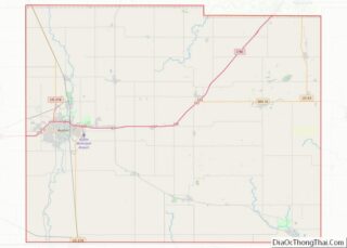
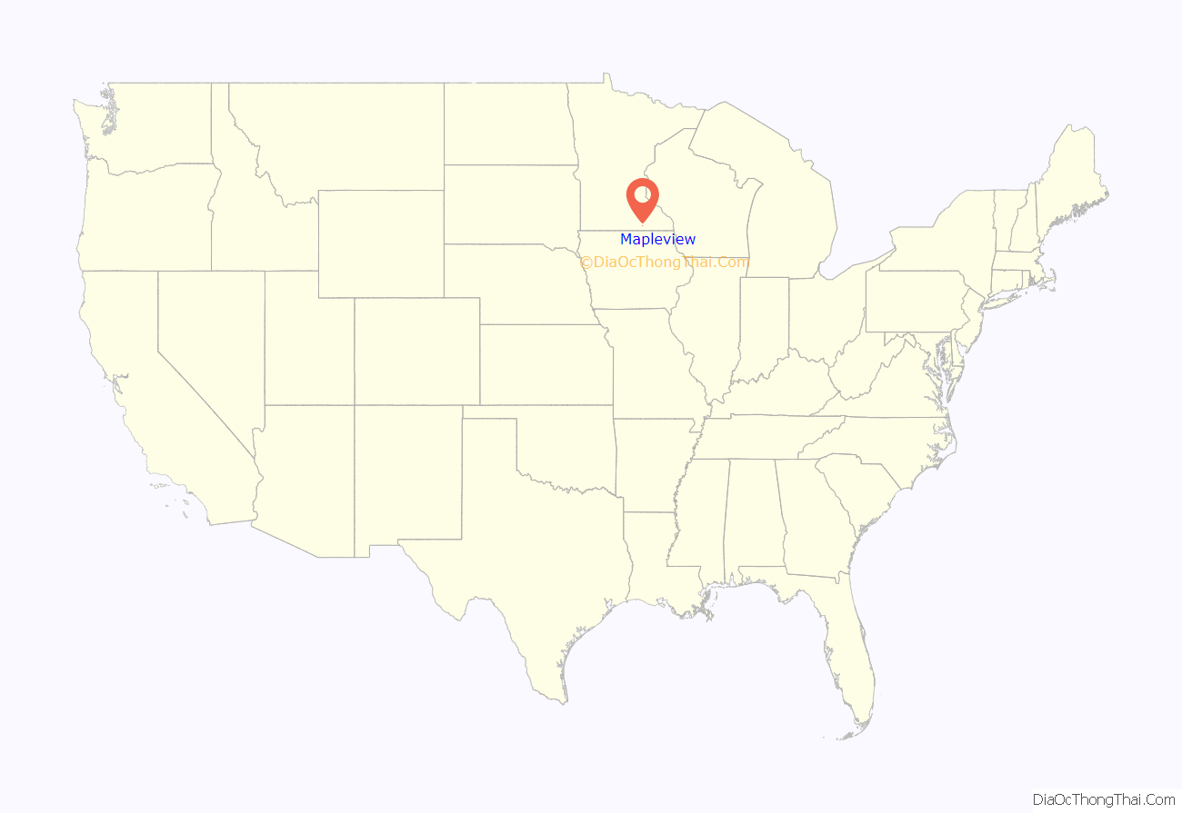
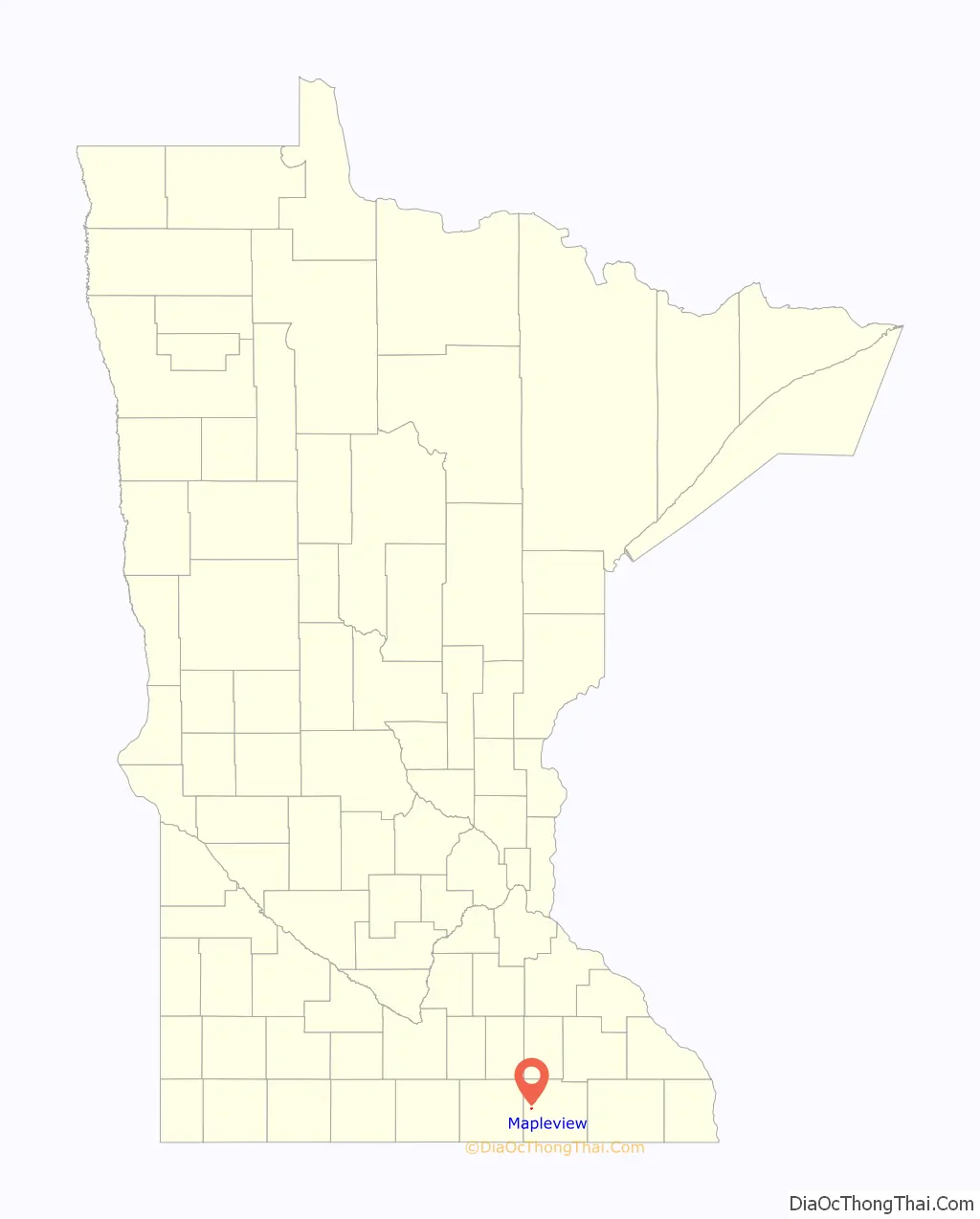
Mapleview location map. Where is Mapleview city?
History
The village of Mapleview was incorporated in 1945 to provide facilities for approximately 100 families. In 1948, a plot of land north of town was purchased and this is where the liquor store, fire station, water tower, pump house and equipment garages were eventually built. In 1954, the city bought four acres along Murphy Creek and this became Hillside Park. The fire house was built in 1958 and is currently running two fire trucks and 13 volunteer fire fighters, with Michael Langstaff as the Fire Chief of the Mapleview Fire Department. Natural gas was made available to residents in 1962. Until its disbanding in 2013, Mapleview and the city of Lyle shared a police department, with police commission of a commissioner and two city council members from each city.
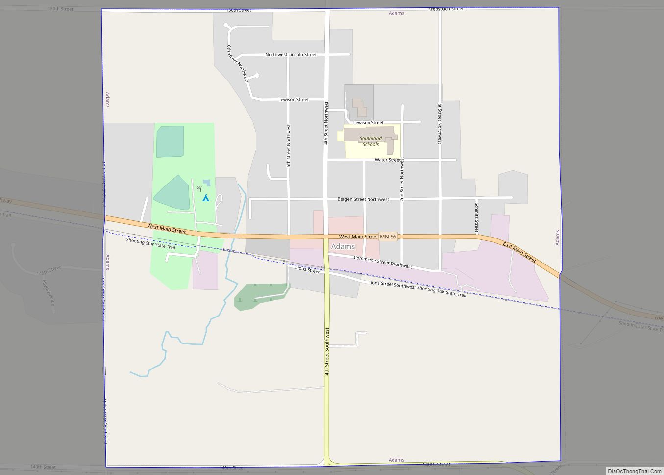
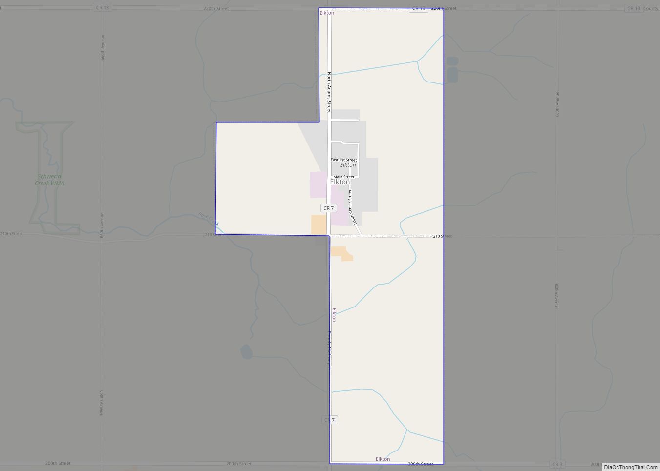
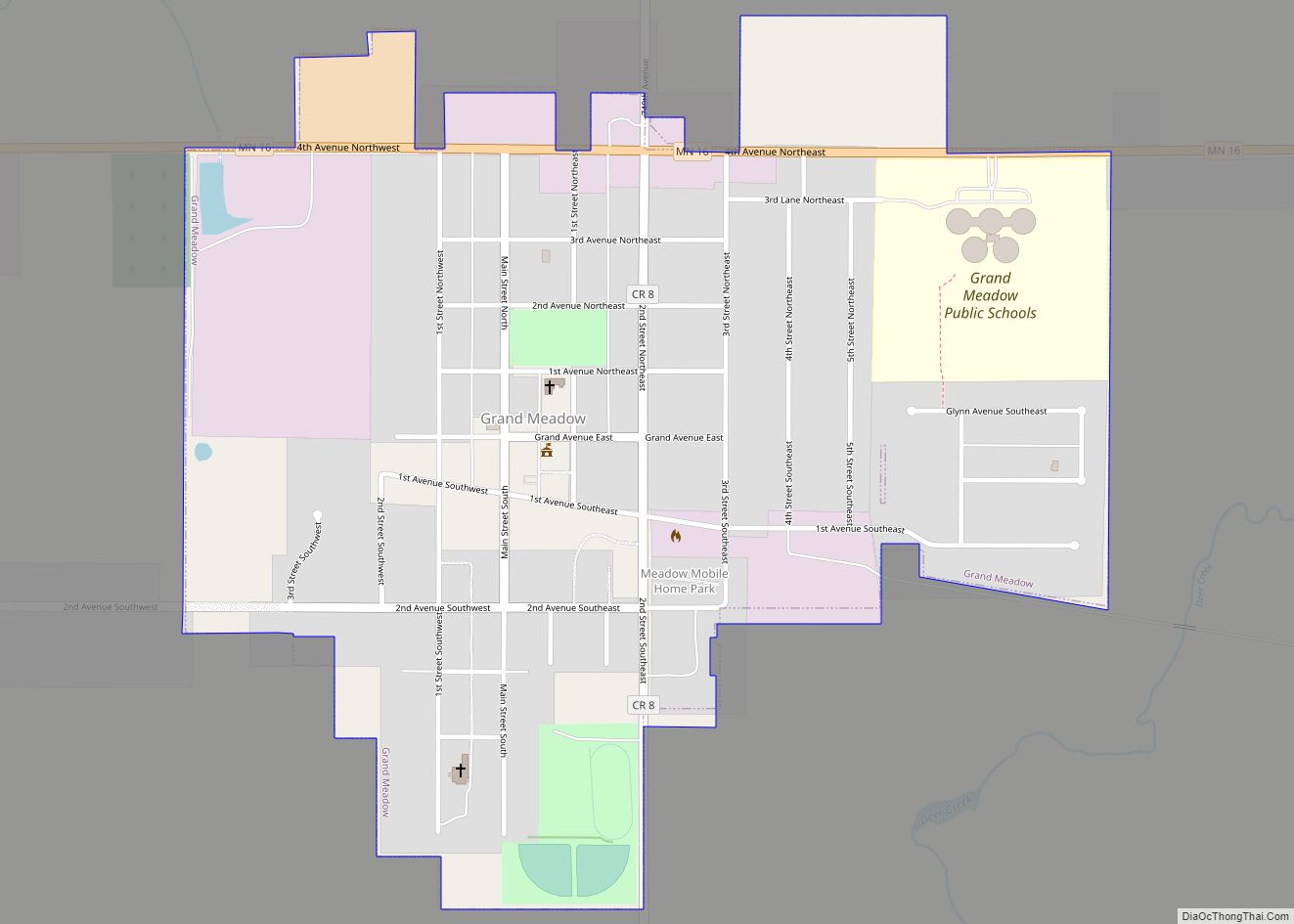
Mapleview Road Map
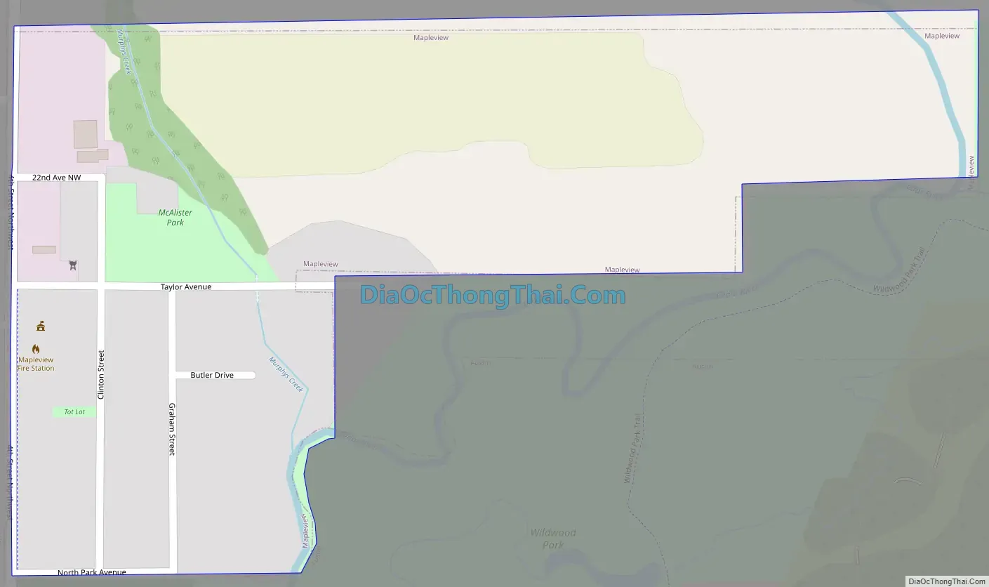
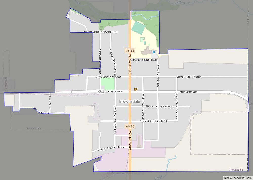
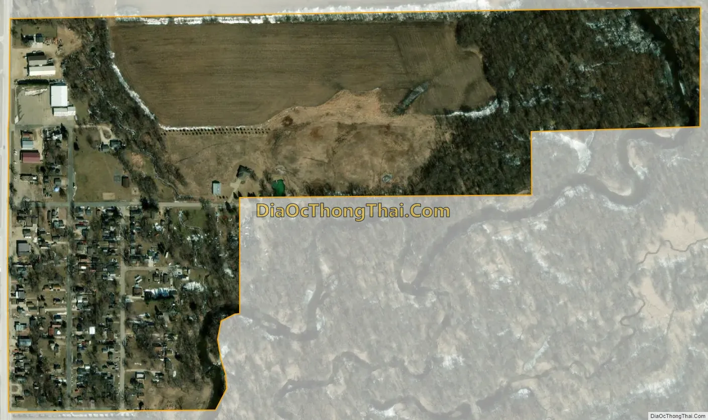
Mapleview city Satellite Map
Geography
According to the United States Census Bureau, the city has a total area of 0.18 square miles (0.47 km), all land.
County 45 serves as a main route in the community. Interstate Highway 90 and U.S. Highway 218 are nearby.
See also
Map of Minnesota State and its subdivision:- Aitkin
- Anoka
- Becker
- Beltrami
- Benton
- Big Stone
- Blue Earth
- Brown
- Carlton
- Carver
- Cass
- Chippewa
- Chisago
- Clay
- Clearwater
- Cook
- Cottonwood
- Crow Wing
- Dakota
- Dodge
- Douglas
- Faribault
- Fillmore
- Freeborn
- Goodhue
- Grant
- Hennepin
- Houston
- Hubbard
- Isanti
- Itasca
- Jackson
- Kanabec
- Kandiyohi
- Kittson
- Koochiching
- Lac qui Parle
- Lake
- Lake of the Woods
- Lake Superior
- Le Sueur
- Lincoln
- Lyon
- Mahnomen
- Marshall
- Martin
- McLeod
- Meeker
- Mille Lacs
- Morrison
- Mower
- Murray
- Nicollet
- Nobles
- Norman
- Olmsted
- Otter Tail
- Pennington
- Pine
- Pipestone
- Polk
- Pope
- Ramsey
- Red Lake
- Redwood
- Renville
- Rice
- Rock
- Roseau
- Saint Louis
- Scott
- Sherburne
- Sibley
- Stearns
- Steele
- Stevens
- Swift
- Todd
- Traverse
- Wabasha
- Wadena
- Waseca
- Washington
- Watonwan
- Wilkin
- Winona
- Wright
- Yellow Medicine
- Alabama
- Alaska
- Arizona
- Arkansas
- California
- Colorado
- Connecticut
- Delaware
- District of Columbia
- Florida
- Georgia
- Hawaii
- Idaho
- Illinois
- Indiana
- Iowa
- Kansas
- Kentucky
- Louisiana
- Maine
- Maryland
- Massachusetts
- Michigan
- Minnesota
- Mississippi
- Missouri
- Montana
- Nebraska
- Nevada
- New Hampshire
- New Jersey
- New Mexico
- New York
- North Carolina
- North Dakota
- Ohio
- Oklahoma
- Oregon
- Pennsylvania
- Rhode Island
- South Carolina
- South Dakota
- Tennessee
- Texas
- Utah
- Vermont
- Virginia
- Washington
- West Virginia
- Wisconsin
- Wyoming