Marshall is a city in Lyon County, Minnesota, United States. The population was 13,680 at the 2010 census. Marshall is a regional center in southwest Minnesota, and the county seat of Lyon County. It is the headquarters of the Schwan Food Company and the home of Southwest Minnesota State University.
| Name: | Marshall city |
|---|---|
| LSAD Code: | 25 |
| LSAD Description: | city (suffix) |
| State: | Minnesota |
| County: | Lyon County |
| Elevation: | 1,161 ft (354 m) |
| Total Area: | 10.22 sq mi (26.48 km²) |
| Land Area: | 10.22 sq mi (26.46 km²) |
| Water Area: | 0.01 sq mi (0.02 km²) |
| Total Population: | 13,628 |
| Population Density: | 1,333.86/sq mi (515.02/km²) |
| ZIP code: | 56258 |
| Area code: | 507 |
| FIPS code: | 2740688 |
| GNISfeature ID: | 0647561 |
| Website: | ci.marshall.mn.us |
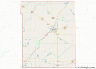
Online Interactive Map
Click on ![]() to view map in "full screen" mode.
to view map in "full screen" mode.
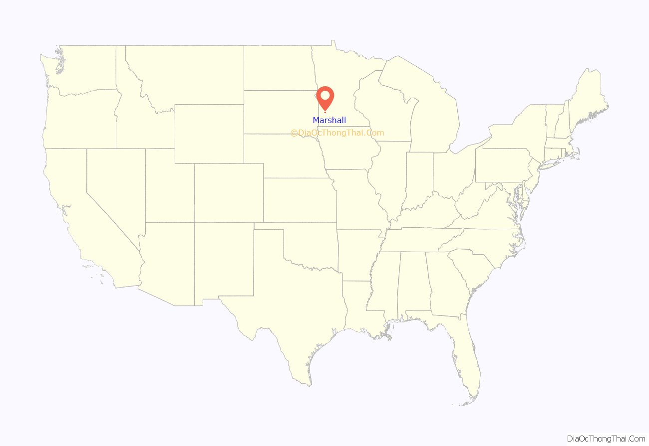
Marshall location map. Where is Marshall city?
History
Marshall was platted in 1872 when the railroad was extended to that point. Lake Marshall Township had been established in the area two years earlier, and included a post office and several farms. Before that, the site was occasionally used as a campground for groups of Dakota, who hunted and traveled throughout the region. After much discussion, James J. Manton decided on Marshall in honor of Governor William R. Marshall.
The town grew rapidly. In 1873, Samuel Biglari published Marshall’s first newspaper, the Prairie Schooner. In the October 25, 1873, issue, he wrote, “Nine months ago the first house was erected. Now there are 79 permanent buildings already constructed, and this number will be increased by others already planned.” Marshall became an incorporated village in 1876 and a city on February 20, 1901. In April 1874, the local paper estimated Marshall’s population at 300; by 1900 the population was 2,088. Holy Redeemer Catholic Church was built in 1884. The Weiner Memorial Hospital was built in 1950. Also during the 1950s, Marvin Schwan transformed his dairy into an ice-cream home-delivery service, which eventually grew into the Schwan Food Company.
The flooding of the Redwood River had historically been a problem in Marshall. The city experienced a series of floods in the 1940s and 1950s. Diversion canals were constructed between 1961 and 1963, but occasional flooding still occurs, notably in 1993. Another project in 1997 removed 107,000 cubic meters (140,000 cubic yards) of sediment from the diversion channel. The diversion channel and Redwood River underwent major upstream and downstream improvements, completed in December 2000. During the spring and fall of 2010, the Marshall area experienced unseasonably high amounts of moisture, but the Redwood River remained within its banks through town.
Southwest Minnesota State University was founded in 1963 and opened in 1967. Most of the campus was constructed between 1967 and 1973.
Marshall Road Map
Marshall city Satellite Map
Geography
Marshall is situated at latitude 44.47N and longitude -95.78W, with an elevation of 354 meters (1,161 feet) above sea level. The city is 150 km (93 mi) northeast of Sioux Falls, South Dakota, and 238 km (148 mi) southwest of Minneapolis. It is in the Central Standard time zone and has the ZIP code 56258. According to the United States Census Bureau, the city has an area of 10.08 square miles (26.11 km), of which 10.07 square miles (26.08 km) is land and 0.01 square miles (0.03 km) is water. It is in a predominantly rural and agricultural area that was originally an expanse of northern tallgrass prairie. The Redwood River’s flood plain begins in Marshall.
U.S. Highway 59 and Minnesota State Highways 19, 23, and 68 are four of the main routes in the city. Greyhound Bus Lines provides intercity service.
The Southwest Minnesota Regional Airport-Marshall/Ryan Field is a municipal airport. The 2,200-meter (7,200-foot) runway can handle commercial airliners. Marshall is not served by scheduled air service, but charter flights are available.
Climate
See also
Map of Minnesota State and its subdivision:- Aitkin
- Anoka
- Becker
- Beltrami
- Benton
- Big Stone
- Blue Earth
- Brown
- Carlton
- Carver
- Cass
- Chippewa
- Chisago
- Clay
- Clearwater
- Cook
- Cottonwood
- Crow Wing
- Dakota
- Dodge
- Douglas
- Faribault
- Fillmore
- Freeborn
- Goodhue
- Grant
- Hennepin
- Houston
- Hubbard
- Isanti
- Itasca
- Jackson
- Kanabec
- Kandiyohi
- Kittson
- Koochiching
- Lac qui Parle
- Lake
- Lake of the Woods
- Lake Superior
- Le Sueur
- Lincoln
- Lyon
- Mahnomen
- Marshall
- Martin
- McLeod
- Meeker
- Mille Lacs
- Morrison
- Mower
- Murray
- Nicollet
- Nobles
- Norman
- Olmsted
- Otter Tail
- Pennington
- Pine
- Pipestone
- Polk
- Pope
- Ramsey
- Red Lake
- Redwood
- Renville
- Rice
- Rock
- Roseau
- Saint Louis
- Scott
- Sherburne
- Sibley
- Stearns
- Steele
- Stevens
- Swift
- Todd
- Traverse
- Wabasha
- Wadena
- Waseca
- Washington
- Watonwan
- Wilkin
- Winona
- Wright
- Yellow Medicine
- Alabama
- Alaska
- Arizona
- Arkansas
- California
- Colorado
- Connecticut
- Delaware
- District of Columbia
- Florida
- Georgia
- Hawaii
- Idaho
- Illinois
- Indiana
- Iowa
- Kansas
- Kentucky
- Louisiana
- Maine
- Maryland
- Massachusetts
- Michigan
- Minnesota
- Mississippi
- Missouri
- Montana
- Nebraska
- Nevada
- New Hampshire
- New Jersey
- New Mexico
- New York
- North Carolina
- North Dakota
- Ohio
- Oklahoma
- Oregon
- Pennsylvania
- Rhode Island
- South Carolina
- South Dakota
- Tennessee
- Texas
- Utah
- Vermont
- Virginia
- Washington
- West Virginia
- Wisconsin
- Wyoming
