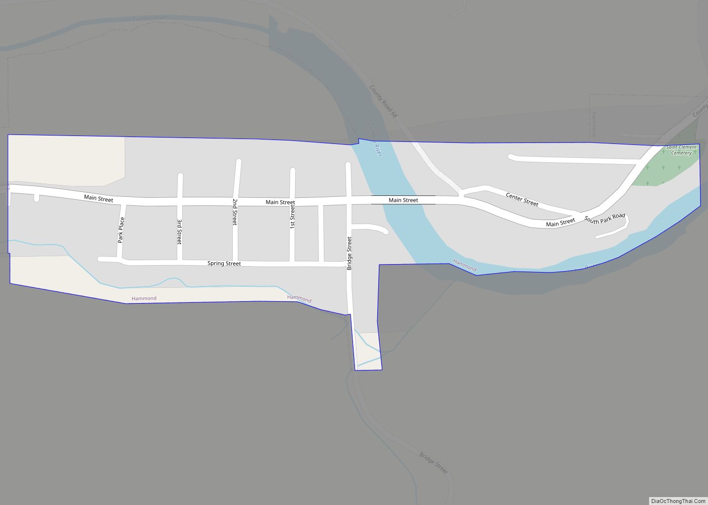
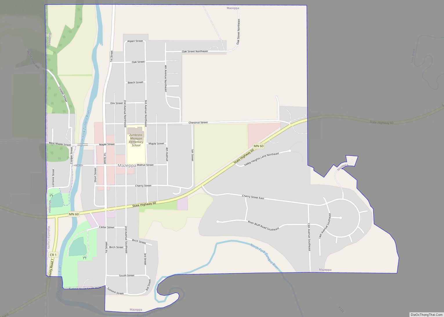
Mazeppa (/mɑːˈzɛpə/ mah-ZEP-ə) is a city in Wabasha County, Minnesota, United States, along the North Fork of the Zumbro River. The population was 874 at the 2020 census.
| Name: | Mazeppa city |
|---|---|
| LSAD Code: | 25 |
| LSAD Description: | city (suffix) |
| State: | Minnesota |
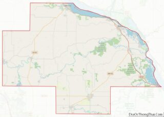
| County: | Wabasha County |
| Elevation: | 955 ft (291 m) |
| Total Area: | 1.08 sq mi (2.80 km²) |
| Land Area: | 1.08 sq mi (2.80 km²) |
| Water Area: | 0.00 sq mi (0.00 km²) |
| Total Population: | 874 |
| Population Density: | 807.02/sq mi (311.63/km²) |
| ZIP code: | 55956 |
| Area code: | 507 |
| FIPS code: | 2741282 |
| GNISfeature ID: | 0647648 |
Online Interactive Map
Click on ![]() to view map in "full screen" mode.
to view map in "full screen" mode.
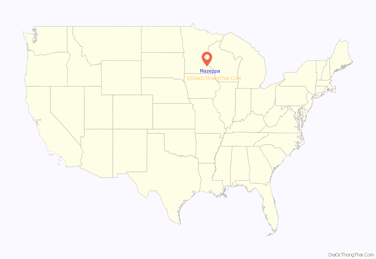
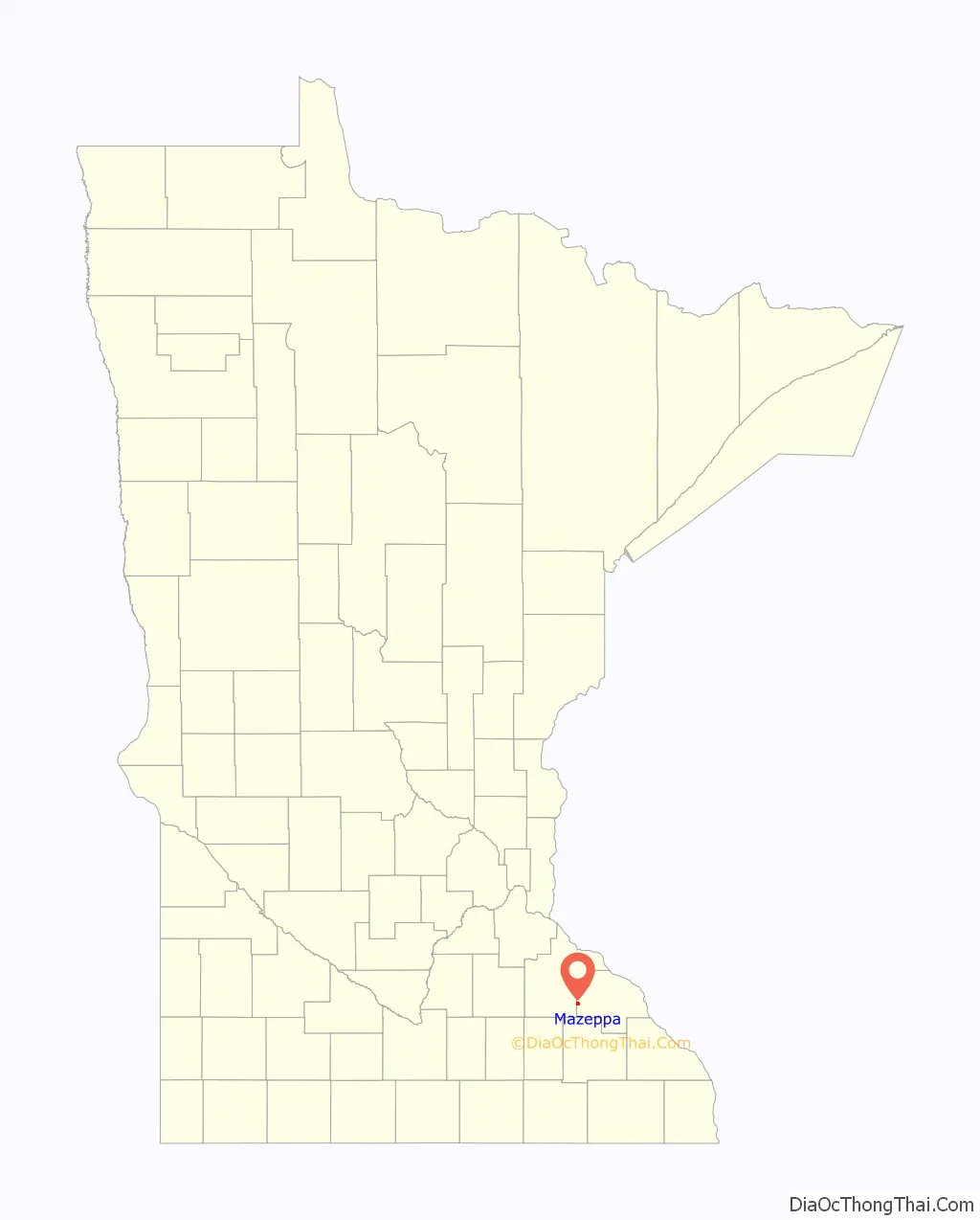
Mazeppa location map. Where is Mazeppa city?
History
Mazeppa was platted in 1855, and named in honor of Hetman Ivan Mazepa via a poem by Lord Byron. The first census was taken in 1860, it showed 534 residents. The town was incorporated in 1877. Mazeppa in its early years was a flour milling center and boasted 7 trains a day at its peak. The line was nicknamed the “Bug Line” due to the crooked nature of the line east of town. The mill during its best years produced 600 barrels of flour a day and had 80 employees. The mill was powered by a 26 foot high wooden dam on the Zumbro River and formed the “Mill Pond” as seen in historical pictures. The mill had its ups and downs until it burned down on Feb 2, 1891, foul play was suspected. The last train left Mazeppa in 1952. Despite its valiant efforts at growth and industry, circumstances and fortunes of the town changed and it has since moved into the 21st Century as a quiet, well kept farm community.
The Mazeppa Public School was built in 1858 and further expanded on many times including a new High School completed in 1958. A fire on December 26, 1975, destroyed the historic elementary school. The newer adjoining high school and 1940s gymnasium were saved from the blaze by the heroic efforts of Mazeppa residents Keith Ramthun & Joseph Liffrig who managed to close the fire doors leading to the high school and gymnasium before the fire department arrived. The Mazeppa Public School system merged with the Zumbrota Public School system in fall of 1987 to create the Zumbrota-Mazeppa Public Schools represented by the mascot the “Cougars”.
The city contains one property listed on the National Register of Historic Places: the 1904 Walnut Street Bridge.
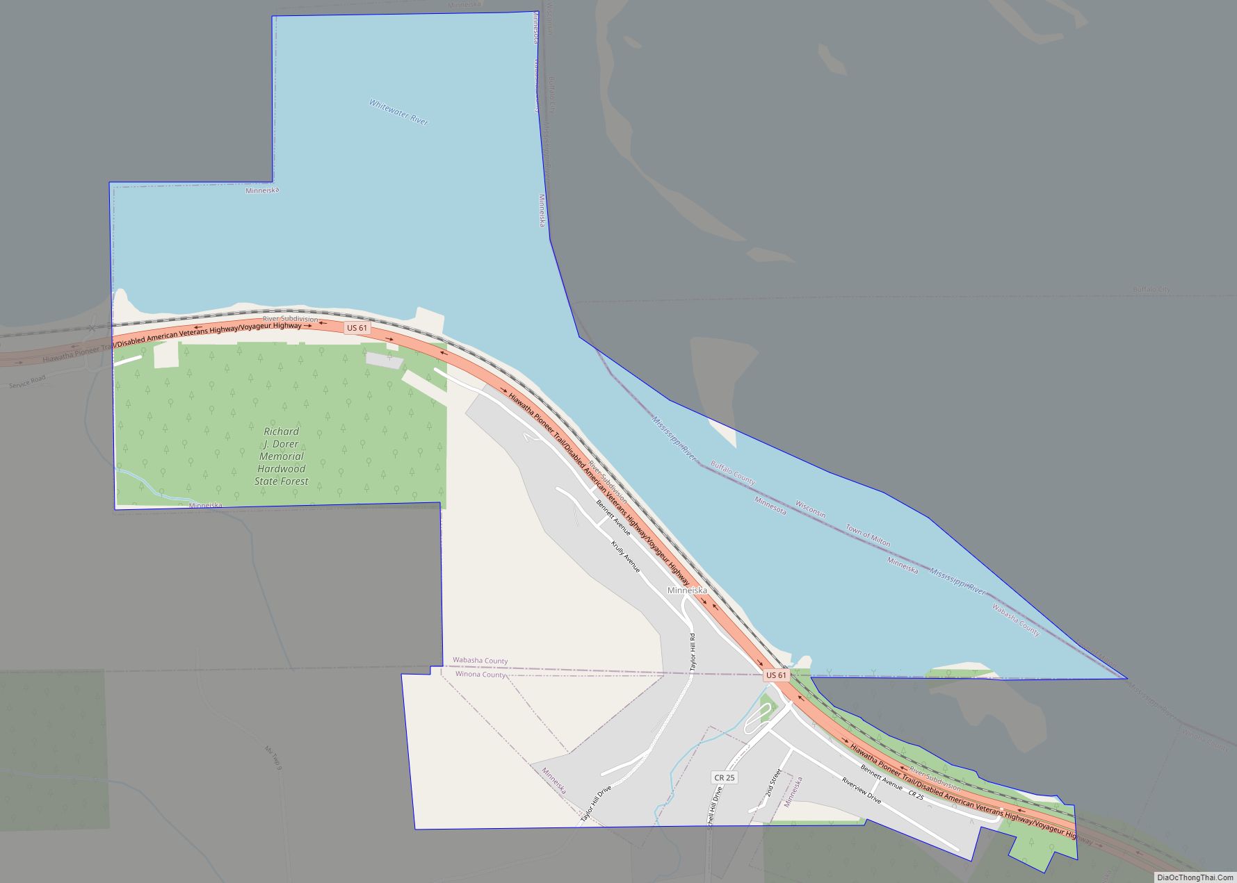
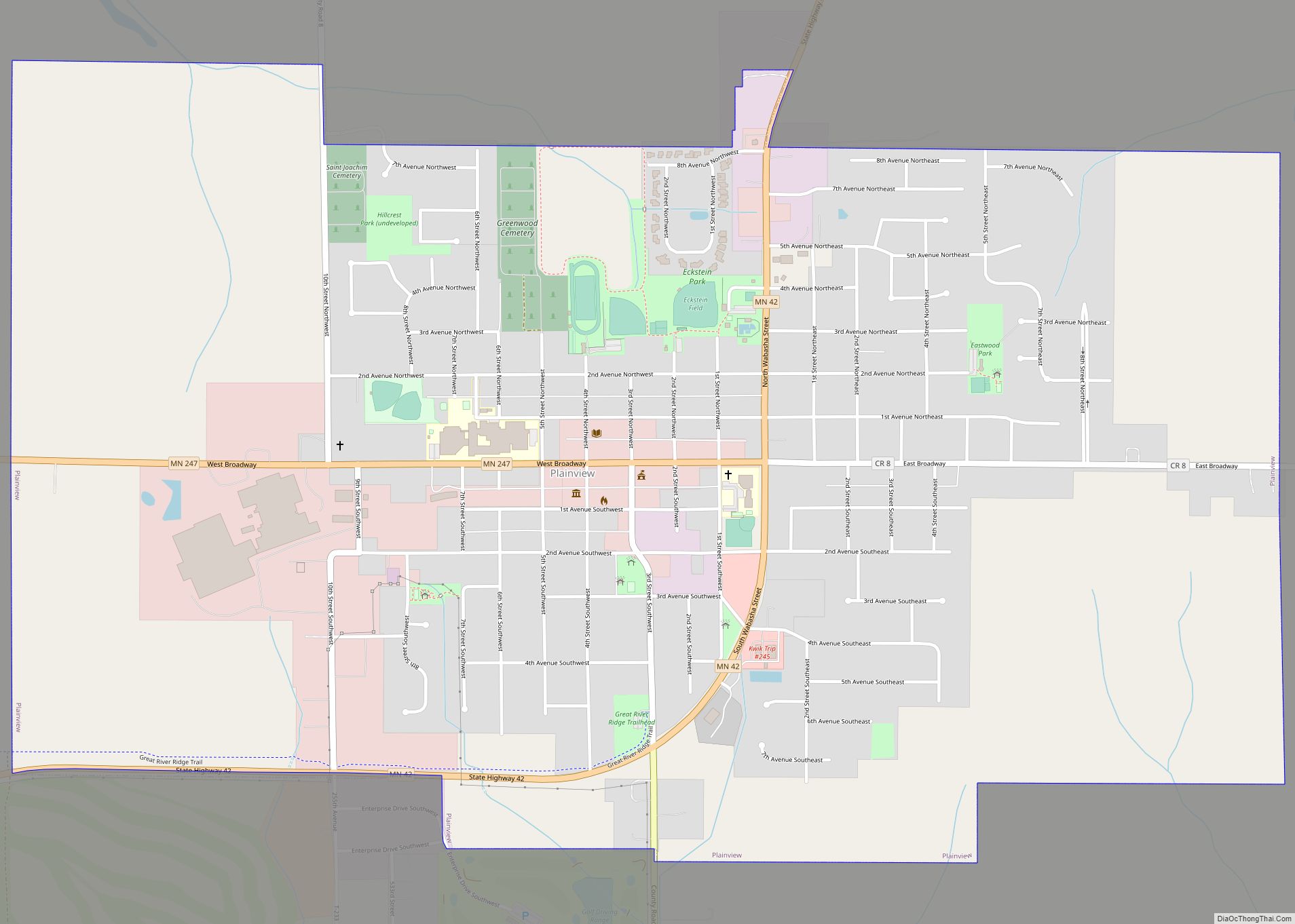
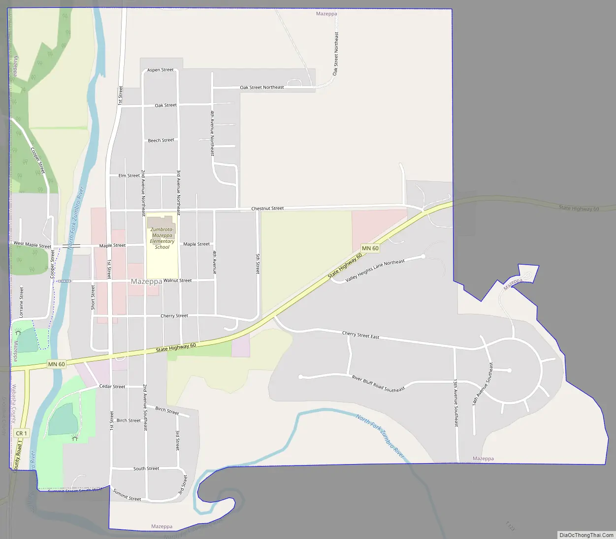
Mazeppa Road Map
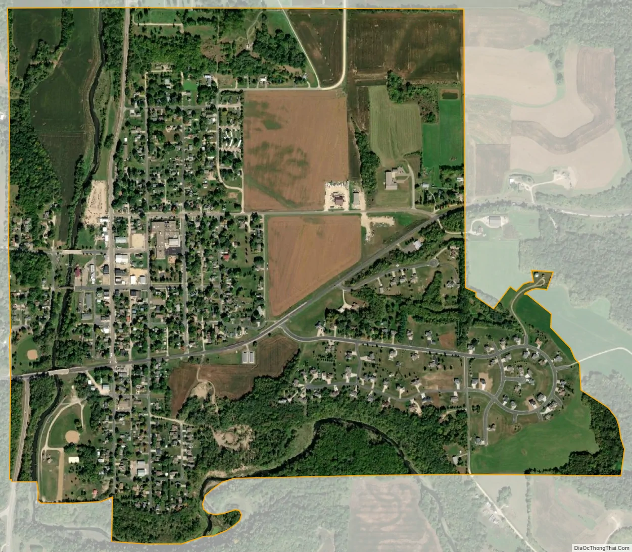
Mazeppa city Satellite Map
Geography
According to the United States Census Bureau, the city has a total area of 1.09 square miles (2.82 km), all of it land.
Minnesota State Highway 60 serves as a main route in the community.
See also
Map of Minnesota State and its subdivision:- Aitkin
- Anoka
- Becker
- Beltrami
- Benton
- Big Stone
- Blue Earth
- Brown
- Carlton
- Carver
- Cass
- Chippewa
- Chisago
- Clay
- Clearwater
- Cook
- Cottonwood
- Crow Wing
- Dakota
- Dodge
- Douglas
- Faribault
- Fillmore
- Freeborn
- Goodhue
- Grant
- Hennepin
- Houston
- Hubbard
- Isanti
- Itasca
- Jackson
- Kanabec
- Kandiyohi
- Kittson
- Koochiching
- Lac qui Parle
- Lake
- Lake of the Woods
- Lake Superior
- Le Sueur
- Lincoln
- Lyon
- Mahnomen
- Marshall
- Martin
- McLeod
- Meeker
- Mille Lacs
- Morrison
- Mower
- Murray
- Nicollet
- Nobles
- Norman
- Olmsted
- Otter Tail
- Pennington
- Pine
- Pipestone
- Polk
- Pope
- Ramsey
- Red Lake
- Redwood
- Renville
- Rice
- Rock
- Roseau
- Saint Louis
- Scott
- Sherburne
- Sibley
- Stearns
- Steele
- Stevens
- Swift
- Todd
- Traverse
- Wabasha
- Wadena
- Waseca
- Washington
- Watonwan
- Wilkin
- Winona
- Wright
- Yellow Medicine
- Alabama
- Alaska
- Arizona
- Arkansas
- California
- Colorado
- Connecticut
- Delaware
- District of Columbia
- Florida
- Georgia
- Hawaii
- Idaho
- Illinois
- Indiana
- Iowa
- Kansas
- Kentucky
- Louisiana
- Maine
- Maryland
- Massachusetts
- Michigan
- Minnesota
- Mississippi
- Missouri
- Montana
- Nebraska
- Nevada
- New Hampshire
- New Jersey
- New Mexico
- New York
- North Carolina
- North Dakota
- Ohio
- Oklahoma
- Oregon
- Pennsylvania
- Rhode Island
- South Carolina
- South Dakota
- Tennessee
- Texas
- Utah
- Vermont
- Virginia
- Washington
- West Virginia
- Wisconsin
- Wyoming