New Germany is a city in Carver County, Minnesota, United States. The population was 372 at the 2010 census. A large proportion of the early settlers being natives of Germany caused the name to be selected.
| Name: | New Germany city |
|---|---|
| LSAD Code: | 25 |
| LSAD Description: | city (suffix) |
| State: | Minnesota |
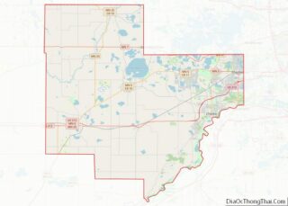
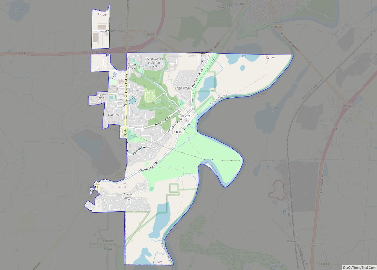
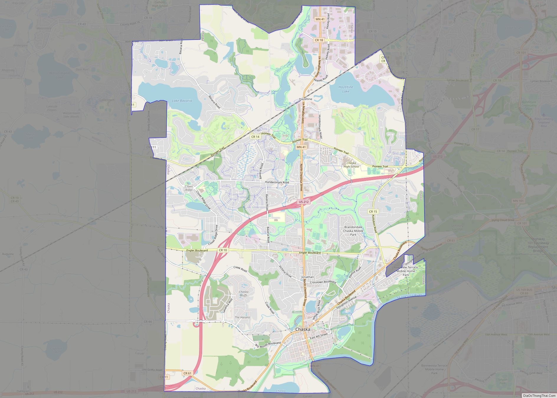
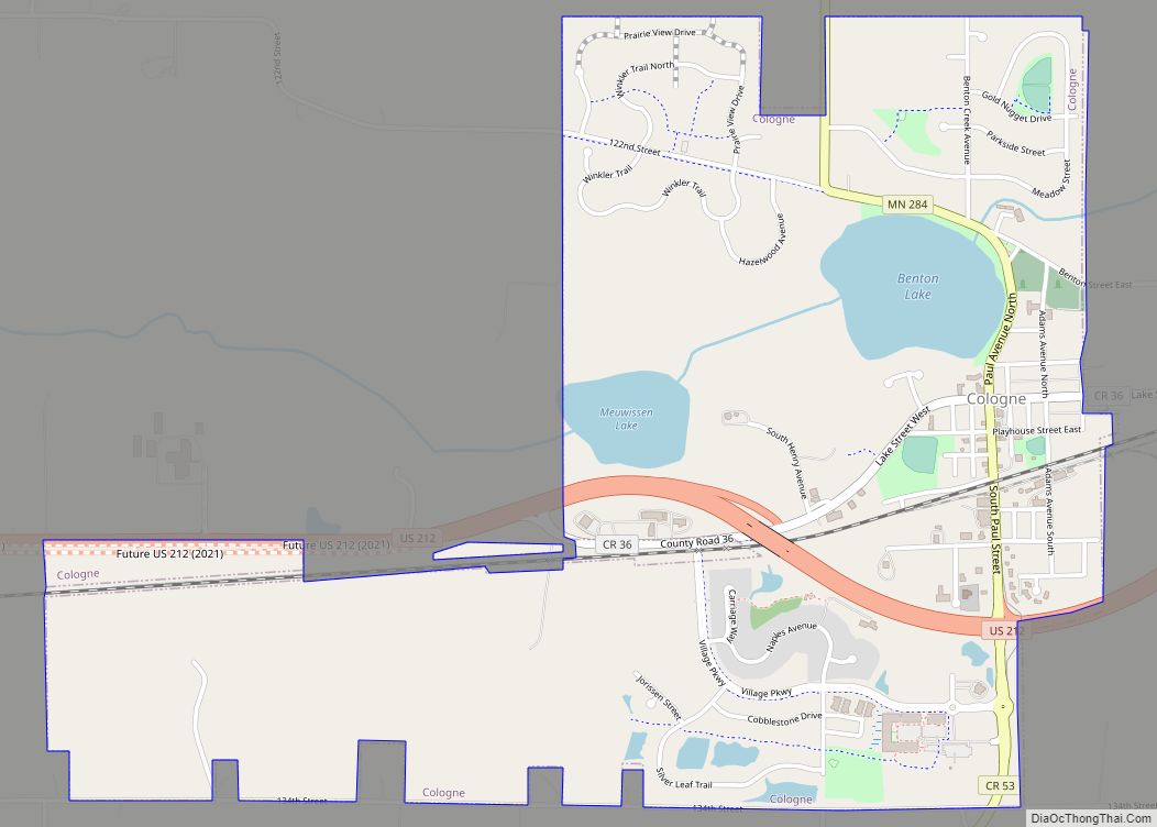
| County: | Carver County |
| Elevation: | 984 ft (300 m) |
| Total Area: | 1.00 sq mi (2.59 km²) |
| Land Area: | 0.99 sq mi (2.58 km²) |
| Water Area: | 0.01 sq mi (0.02 km²) |
| Total Population: | 464 |
| Population Density: | 466.80/sq mi (180.16/km²) |
| ZIP code: | 55367 |
| Area code: | 952 |
| FIPS code: | 2745556 |
| GNISfeature ID: | 0648507 |
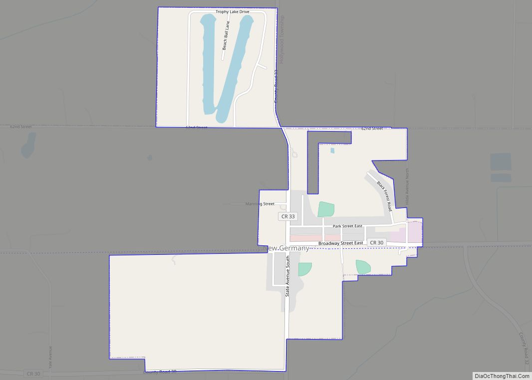
Online Interactive Map
Click on ![]() to view map in "full screen" mode.
to view map in "full screen" mode.
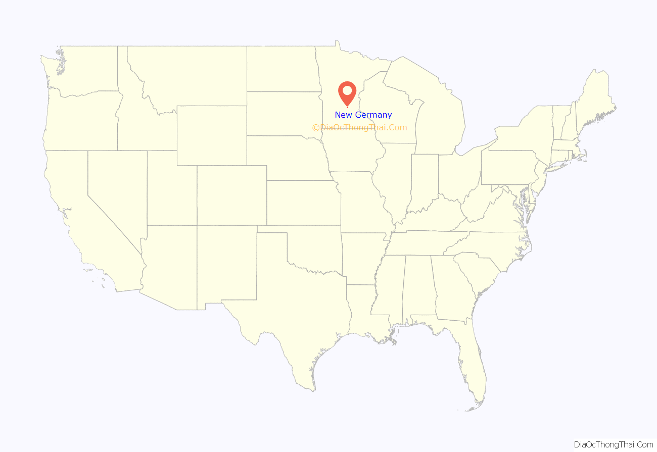
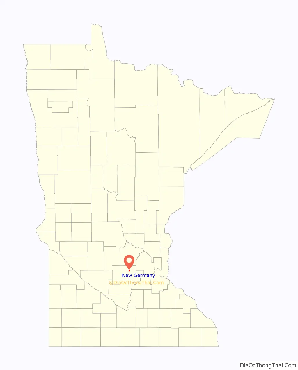
New Germany location map. Where is New Germany city?
History
New Germany was established in the 1880s around the Great Northern Railroad depot. Its first post office, however, was moved onto the area from a different site and kept the original name of Purity. The post office name was not changed to match the railroad and community name until 1902. New Germany incorporated as a village in 1901 in Camden Township and separated as a city under Minnesota law in 1974. In 1917 during World War I, the village changed its name to Motordale. It restored the name New Germany in 1922.
New Germany Road Map
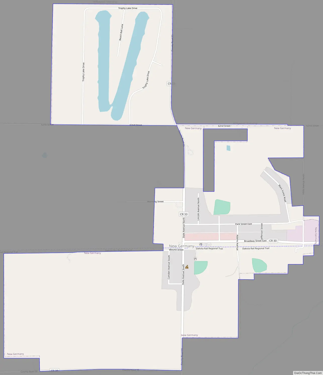
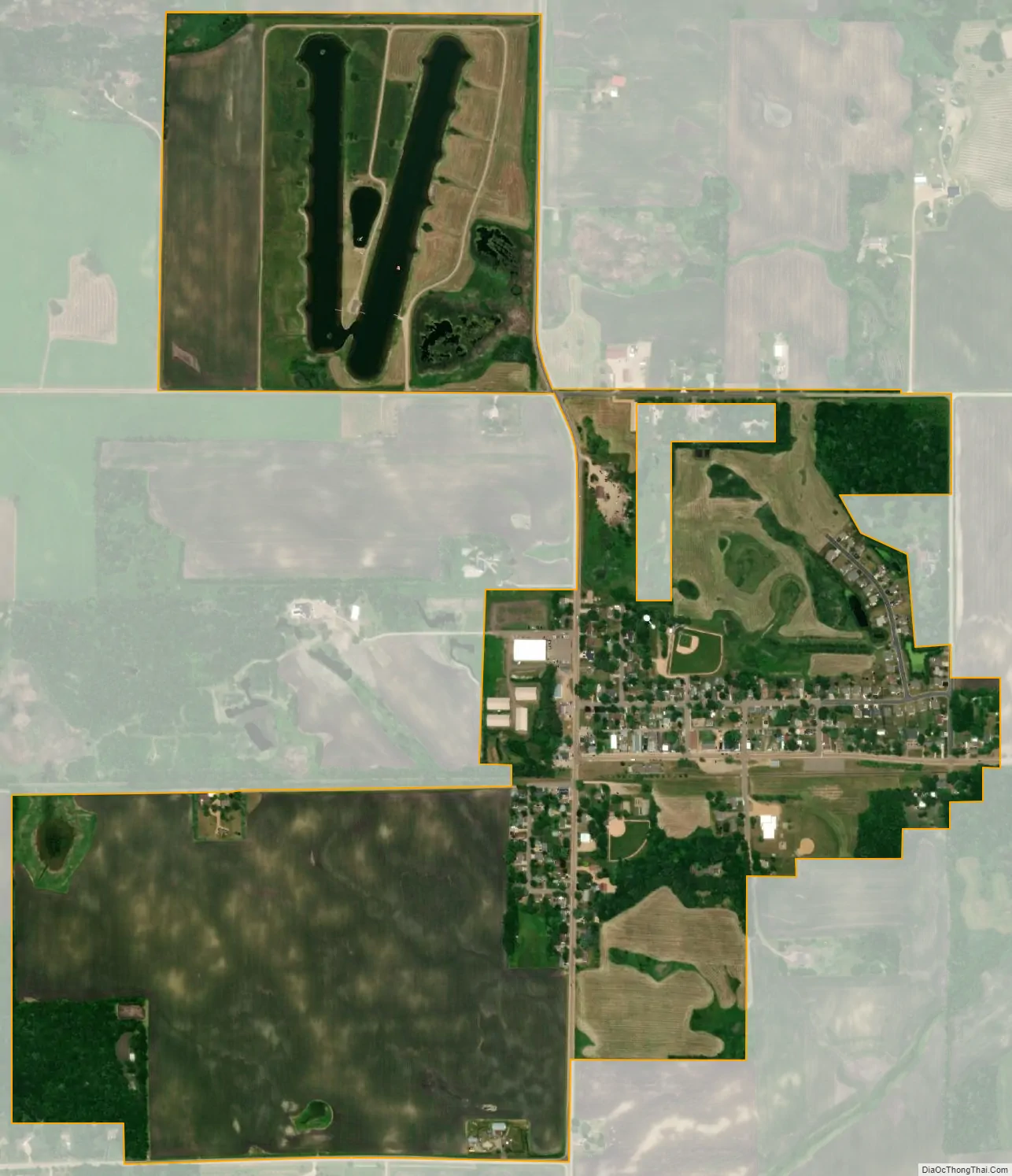
New Germany city Satellite Map
Geography
According to the United States Census Bureau, the city has a total area of 1.00 square mile (2.59 km), all land.
County Roads 30 and 33 are two of the main routes in the community. Minnesota State Highway 7 is in proximity to the city.
New Germany borders the lake Minnetonka regional trail
See also
Map of Minnesota State and its subdivision:- Aitkin
- Anoka
- Becker
- Beltrami
- Benton
- Big Stone
- Blue Earth
- Brown
- Carlton
- Carver
- Cass
- Chippewa
- Chisago
- Clay
- Clearwater
- Cook
- Cottonwood
- Crow Wing
- Dakota
- Dodge
- Douglas
- Faribault
- Fillmore
- Freeborn
- Goodhue
- Grant
- Hennepin
- Houston
- Hubbard
- Isanti
- Itasca
- Jackson
- Kanabec
- Kandiyohi
- Kittson
- Koochiching
- Lac qui Parle
- Lake
- Lake of the Woods
- Lake Superior
- Le Sueur
- Lincoln
- Lyon
- Mahnomen
- Marshall
- Martin
- McLeod
- Meeker
- Mille Lacs
- Morrison
- Mower
- Murray
- Nicollet
- Nobles
- Norman
- Olmsted
- Otter Tail
- Pennington
- Pine
- Pipestone
- Polk
- Pope
- Ramsey
- Red Lake
- Redwood
- Renville
- Rice
- Rock
- Roseau
- Saint Louis
- Scott
- Sherburne
- Sibley
- Stearns
- Steele
- Stevens
- Swift
- Todd
- Traverse
- Wabasha
- Wadena
- Waseca
- Washington
- Watonwan
- Wilkin
- Winona
- Wright
- Yellow Medicine
- Alabama
- Alaska
- Arizona
- Arkansas
- California
- Colorado
- Connecticut
- Delaware
- District of Columbia
- Florida
- Georgia
- Hawaii
- Idaho
- Illinois
- Indiana
- Iowa
- Kansas
- Kentucky
- Louisiana
- Maine
- Maryland
- Massachusetts
- Michigan
- Minnesota
- Mississippi
- Missouri
- Montana
- Nebraska
- Nevada
- New Hampshire
- New Jersey
- New Mexico
- New York
- North Carolina
- North Dakota
- Ohio
- Oklahoma
- Oregon
- Pennsylvania
- Rhode Island
- South Carolina
- South Dakota
- Tennessee
- Texas
- Utah
- Vermont
- Virginia
- Washington
- West Virginia
- Wisconsin
- Wyoming