New Prague (/ˈpreɪɡ/ PRAYG) is a city in Scott and Le Sueur counties in the state of Minnesota. The population was 7,321 at the 2010 census.
| Name: | New Prague city |
|---|---|
| LSAD Code: | 25 |
| LSAD Description: | city (suffix) |
| State: | Minnesota |
| County: | Le Sueur County, Scott County |
| Elevation: | 988 ft (301 m) |
| Total Area: | 3.87 sq mi (10.02 km²) |
| Land Area: | 3.87 sq mi (10.02 km²) |
| Water Area: | 0.00 sq mi (0.00 km²) |
| Total Population: | 8,162 |
| Population Density: | 2,109.04/sq mi (814.24/km²) |
| ZIP code: | 56071 |
| Area code: | 952 |
| FIPS code: | 2745808 |
| GNISfeature ID: | 0648516 |
| Website: | ci.new-prague.mn.us |
Online Interactive Map
Click on ![]() to view map in "full screen" mode.
to view map in "full screen" mode.
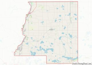
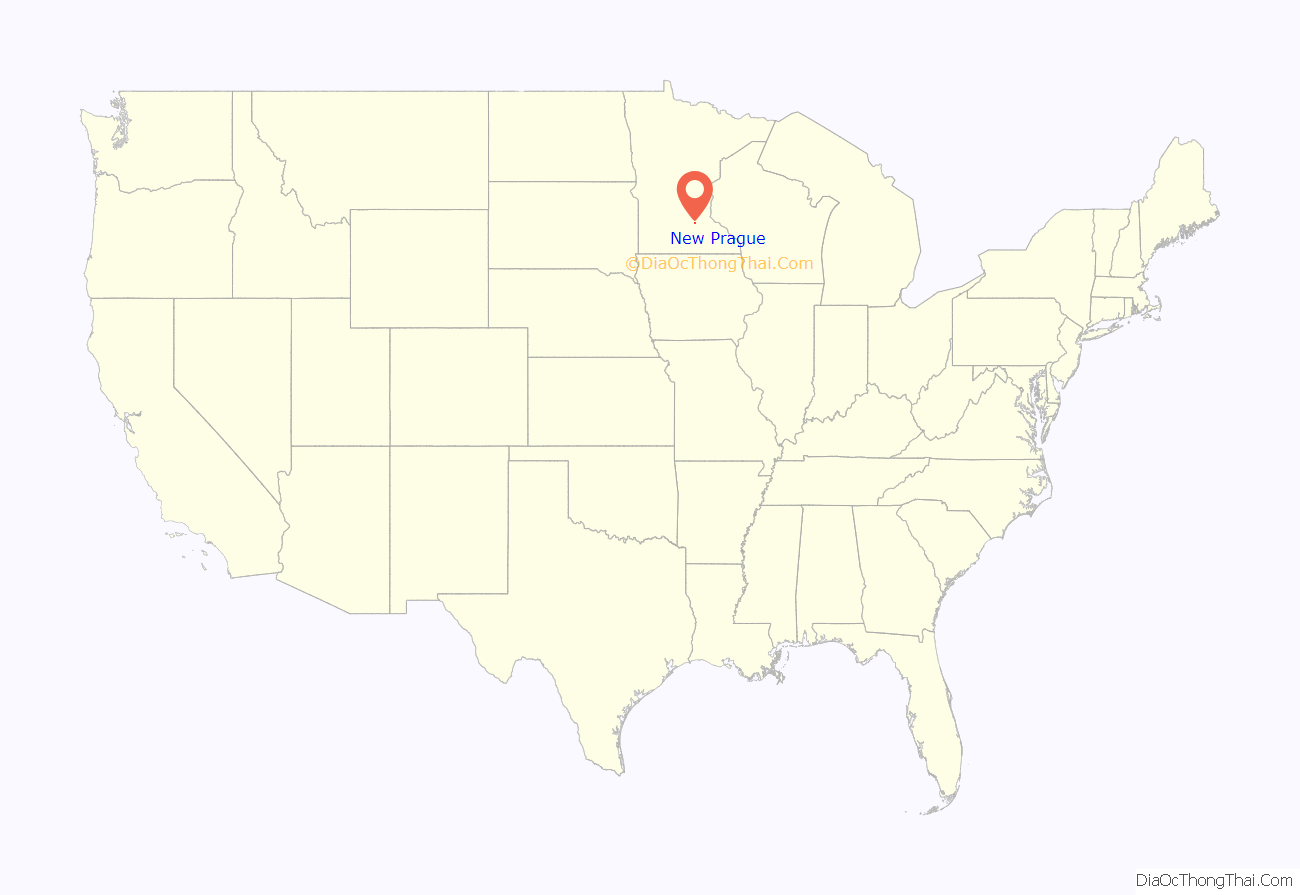
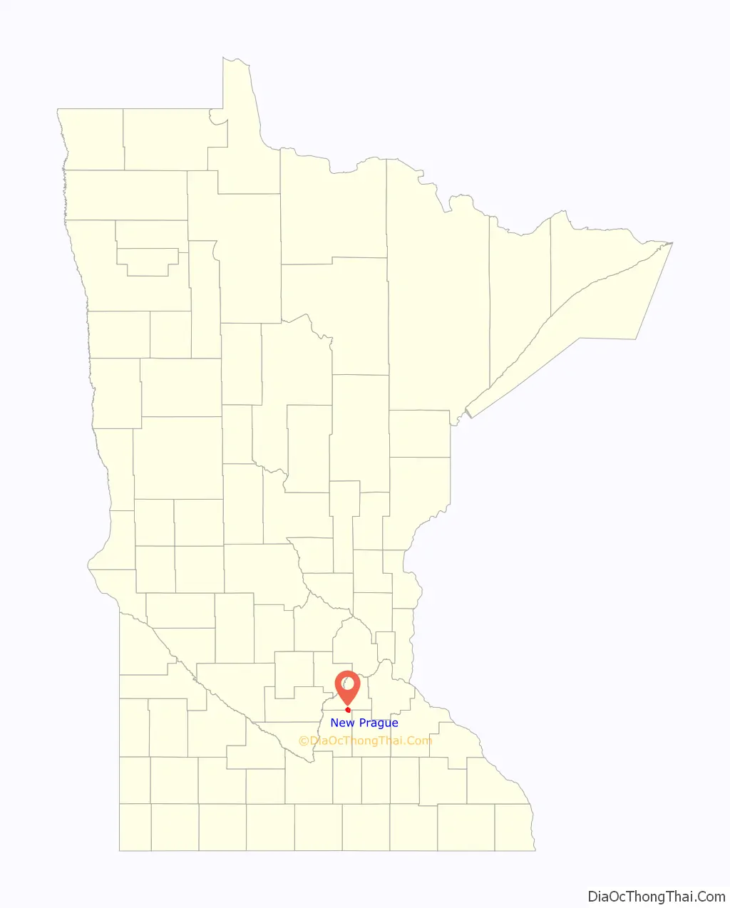
New Prague location map. Where is New Prague city?
History
Origin
New Prague was laid out in 1856, and named after Prague, the capital of Bohemia (now the Czech Republic). The immigrants from Bohemia built the town of New Prague, and many of them identified as Czechs.
At the advice of Catholic Bishop Rev. Joseph Cretin, Anton Philipp, a native German, first settled within the present limits of New Prague. In 1856 Philipp purchased 160 acres in Helena Township, Scott County. Philipp did not make an official plat of the town but began selling lots that same year, marking the beginning of New Prague. Several Bohemian families came to the area shortly after Philipp arrived.
Late 19th century
New Prague’s early development was not spectacular for a variety of reasons. First, during the Civil War years, 1861–1865, European immigration almost stopped as European immigrants were naturally wary of the American Civil War. Second, located in the middle of the Big Woods, the enormous challenge of clearing fields proceeded at a slow pace.
The town was known as Praha from 1872 to 1879. On March 1, 1877, state of Minnesota approved the incorporation of Praha as a village. In 1879 the name was changed to Prague.
One of the most important developments in the new village occurred in 1877 when the Minneapolis & St. Louis Railway (M & St. L) reached New Prague. The arrival of the railroad era expedited agriculture as New Prague’s most important industry. A link with the outside world enabled farmers to send their commodities to markets and created a conduit to bring inventory to the village’s businesses. Just four years after the M & St. L reached New Prague, the first grain elevator and flour mill were completed, marking the beginning of New Prague earning its nickname, the “Flour City.”
Czech immigration to the United States reached its peak during the 1880s with 62,000 coming to the United States during this decade. Along with Montgomery, which is approximately eight miles south of New Prague, New Prague was becoming the center of “The Bohemian Triangle” of Minnesota covering parts of Scott, Le Sueur and Rice counties, which are neighboring counties. Through the decades since 1856, Le Sueur County has had more Bohemians than any other county in the state.
Construction was booming in the 1880s. The town’s first bank opened in 1883, the Czech-Slovak Protective Society (C. S. P. S.) Opera Hall was built, the New Prague Foundry started business, the second public school was built, and two hotels were constructed.
The village’s name was changed from Prague to New Prague on February 25, 1884.
The 1890s were probably New Prague’s heyday decade. The town was becoming a major market for farm produce and was providing goods and services for growing numbers of farmers and villagers for miles around. Streets were being graded and wooden sidewalks built along the streets. New Prague was incorporated as a city on April 4, 1891. New Prague Flouring Milling Company completed its mill in 1895. Electric lights were installed in the city in 1895, and telephone lines were installed in 1898.
Similar to the rest of the state, the 1880s and 1890s were two decades with the greatest growth in population. New Prague’s population more than tripled during that 20-year period going from 384 residents to 1228, while the state’s population more than doubled during that same period.
Original businesses outgrew their original log and wood-frame storefronts. A large commercial district filled with solid brick, stone, and wood-frame commercial structures developed along Main Street.
New Prague had one of the largest earthquakes in Minnesota history. On December 11th, 1860, there was a 4.7 magnitude earthquake with a Mercalli intensity of VI.
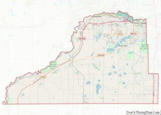
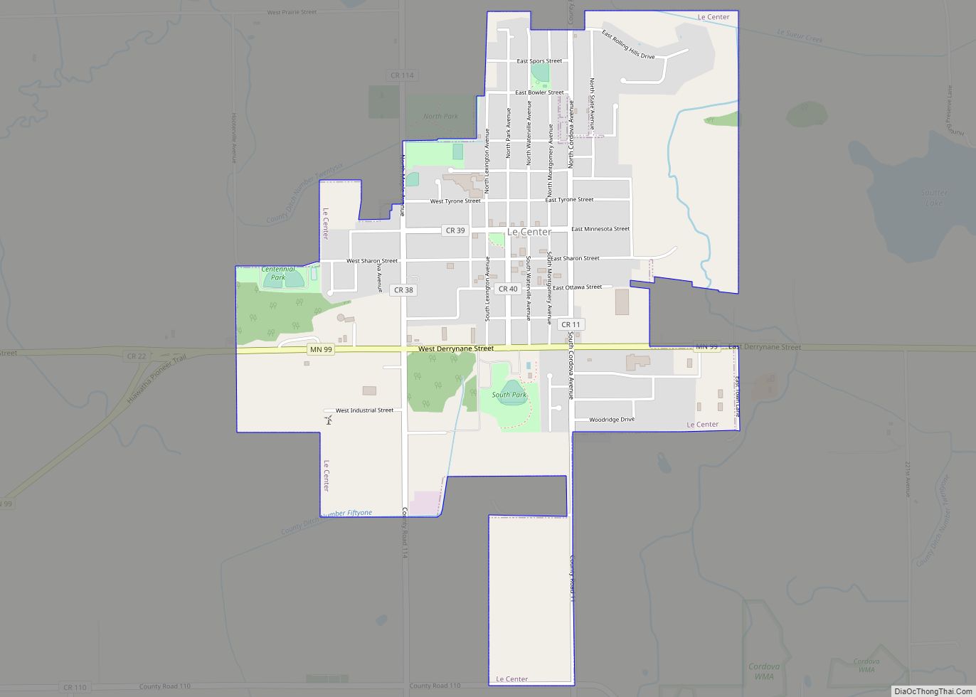
New Prague Road Map

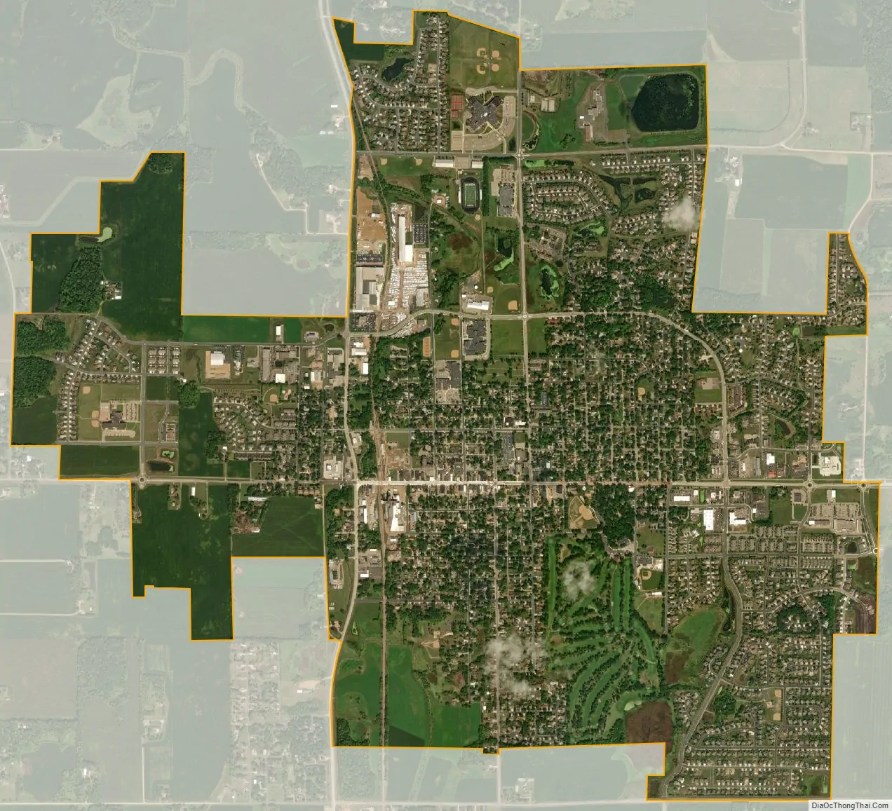
New Prague city Satellite Map
Geography
According to the United States Census Bureau, the city has a total area of 3.81 square miles (9.87 km), all land. The land around the area varies from flat to hilly.
The city of New Prague is located in two counties, Scott and Le Sueur. North of Main Street (Highway 13/19) is Scott County; and on the south side is Le Sueur County.
Minnesota State Highways 13, 19, and 21 are three of the main routes in New Prague.
There is one lake in the New Prague area, Cedar Lake (Scott County). The lake is a popular destination for fishing, ice fishing, water skiing, and jet skiing. A snowmobile trail runs through the lake during the winter season. An aerated area is located in the eastern part of the lake. The lake is 779.5 acres (3.155 km), has a maximum depth of 13 feet (4.0 m) and has a 3.1-foot (0.94 m) water clarity. There are numerous developments in the area, including a new development located on County Road 89 on the west side of the lake (which is located outside of the New Prague City Limits).
Climate
The climate of New Prague is classified as warm-summer humid continental with features of a hot-summer humid continental (Köppen Dfa).
See also
Map of Minnesota State and its subdivision:- Aitkin
- Anoka
- Becker
- Beltrami
- Benton
- Big Stone
- Blue Earth
- Brown
- Carlton
- Carver
- Cass
- Chippewa
- Chisago
- Clay
- Clearwater
- Cook
- Cottonwood
- Crow Wing
- Dakota
- Dodge
- Douglas
- Faribault
- Fillmore
- Freeborn
- Goodhue
- Grant
- Hennepin
- Houston
- Hubbard
- Isanti
- Itasca
- Jackson
- Kanabec
- Kandiyohi
- Kittson
- Koochiching
- Lac qui Parle
- Lake
- Lake of the Woods
- Lake Superior
- Le Sueur
- Lincoln
- Lyon
- Mahnomen
- Marshall
- Martin
- McLeod
- Meeker
- Mille Lacs
- Morrison
- Mower
- Murray
- Nicollet
- Nobles
- Norman
- Olmsted
- Otter Tail
- Pennington
- Pine
- Pipestone
- Polk
- Pope
- Ramsey
- Red Lake
- Redwood
- Renville
- Rice
- Rock
- Roseau
- Saint Louis
- Scott
- Sherburne
- Sibley
- Stearns
- Steele
- Stevens
- Swift
- Todd
- Traverse
- Wabasha
- Wadena
- Waseca
- Washington
- Watonwan
- Wilkin
- Winona
- Wright
- Yellow Medicine
- Alabama
- Alaska
- Arizona
- Arkansas
- California
- Colorado
- Connecticut
- Delaware
- District of Columbia
- Florida
- Georgia
- Hawaii
- Idaho
- Illinois
- Indiana
- Iowa
- Kansas
- Kentucky
- Louisiana
- Maine
- Maryland
- Massachusetts
- Michigan
- Minnesota
- Mississippi
- Missouri
- Montana
- Nebraska
- Nevada
- New Hampshire
- New Jersey
- New Mexico
- New York
- North Carolina
- North Dakota
- Ohio
- Oklahoma
- Oregon
- Pennsylvania
- Rhode Island
- South Carolina
- South Dakota
- Tennessee
- Texas
- Utah
- Vermont
- Virginia
- Washington
- West Virginia
- Wisconsin
- Wyoming