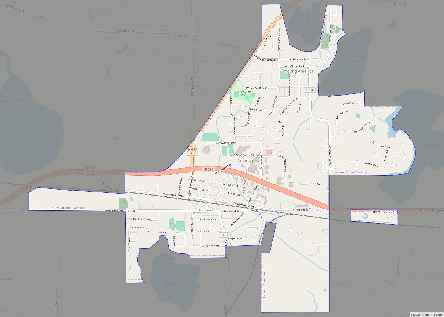
Norwood Young America is a city in Carver County, Minnesota, United States, located about 40 miles west of Minneapolis. The population was 3,549 at the 2010 census.
| Name: | Norwood Young America city |
|---|---|
| LSAD Code: | 25 |
| LSAD Description: | city (suffix) |
| State: | Minnesota |
| County: | Carver County |
| Elevation: | 991 ft (302 m) |
| Total Area: | 2.49 sq mi (6.46 km²) |
| Land Area: | 2.49 sq mi (6.45 km²) |
| Water Area: | 0.00 sq mi (0.00 km²) |
| Total Population: | 3,863 |
| Population Density: | 1,550.16/sq mi (598.47/km²) |
| ZIP code: | 55368, 55397, 55473 plus about 20 more. |
| Area code: | 952 |
| FIPS code: | 2747520 |
| GNISfeature ID: | 1764916 |
| Website: | www.cityofnya.com |
Online Interactive Map
Click on ![]() to view map in "full screen" mode.
to view map in "full screen" mode.
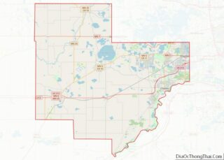
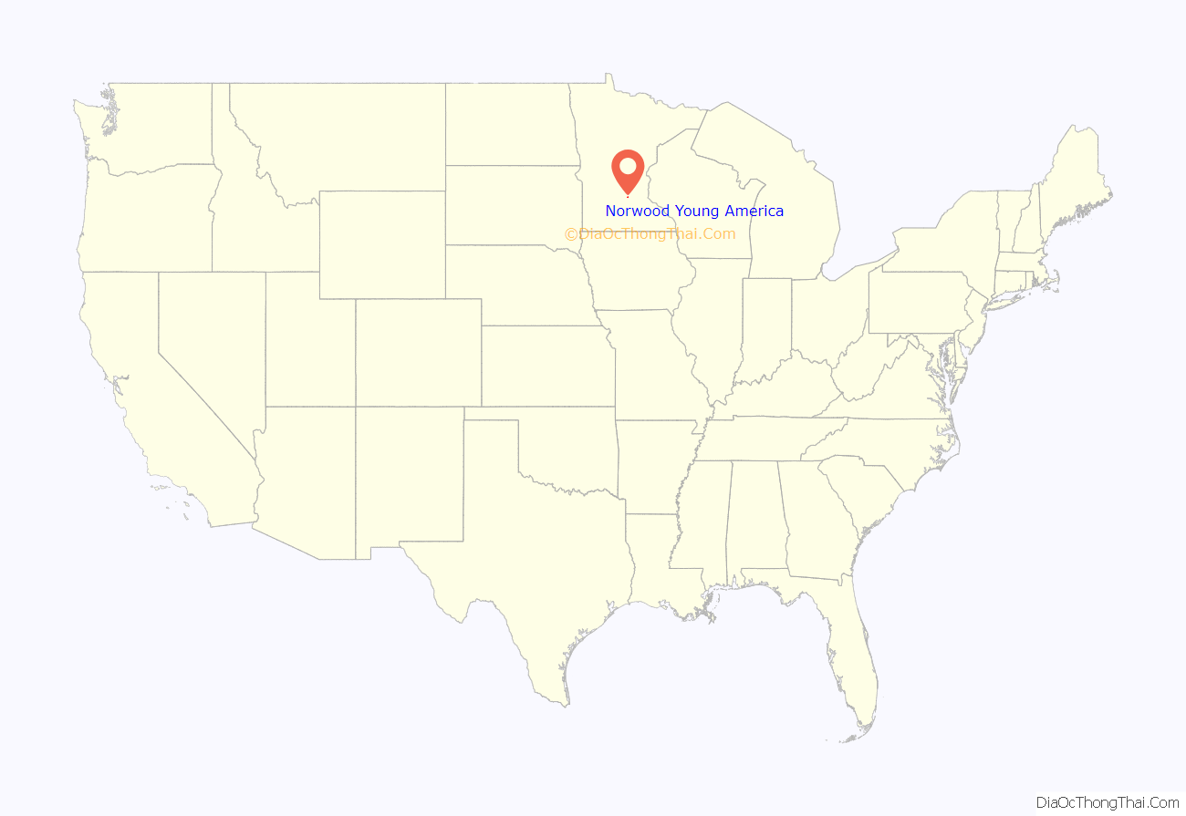
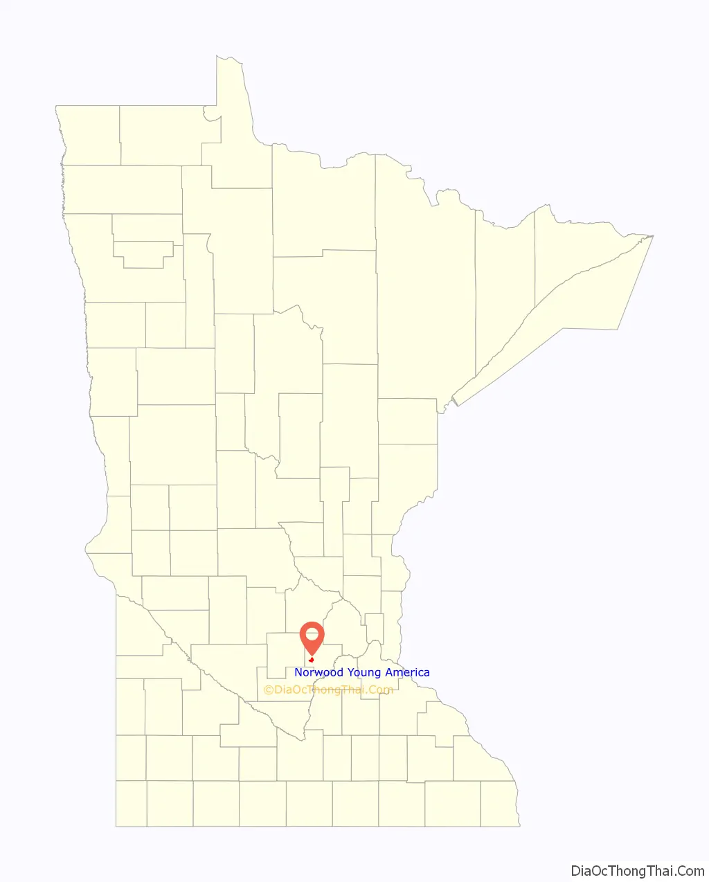
Norwood Young America location map. Where is Norwood Young America city?
History
Young America was platted in 1856. Norwood was platted in 1872.
Norwood Young America was formed on January 1, 1997 when Norwood and Young America merged. The city has been called by the abbreviation NYA, but is often simply called either Norwood or Young America.
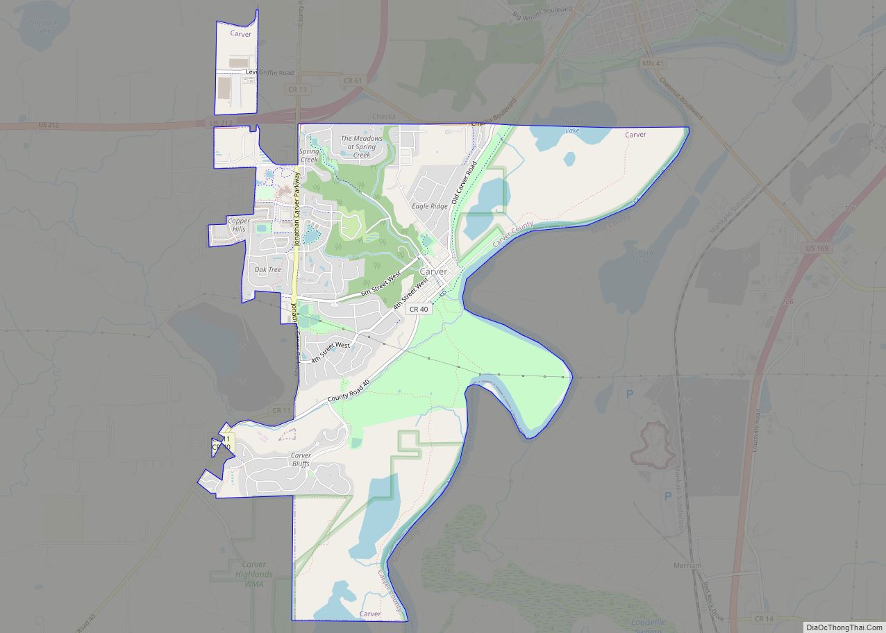
Norwood Young America Road Map
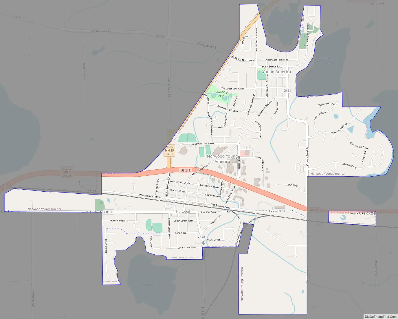
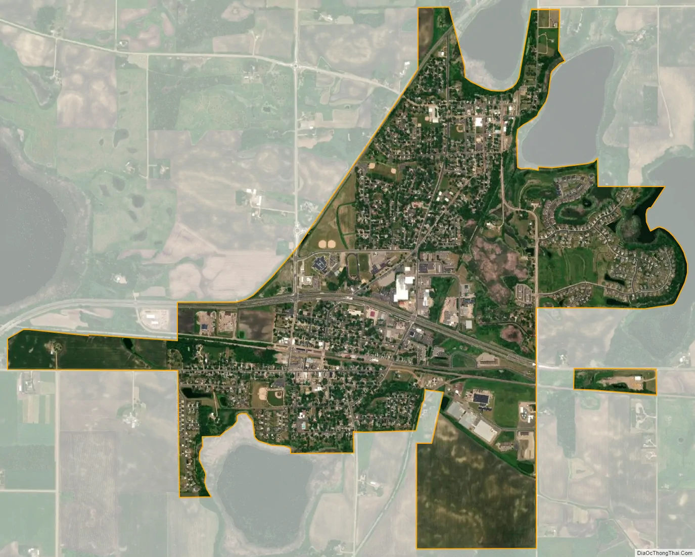
Norwood Young America city Satellite Map
Geography
According to the United States Census Bureau, the city has a total area of 2.52 square miles (6.53 km), all land.
US 212 MN 5, and MN 25 are three of the main routes in the community.
See also
Map of Minnesota State and its subdivision:- Aitkin
- Anoka
- Becker
- Beltrami
- Benton
- Big Stone
- Blue Earth
- Brown
- Carlton
- Carver
- Cass
- Chippewa
- Chisago
- Clay
- Clearwater
- Cook
- Cottonwood
- Crow Wing
- Dakota
- Dodge
- Douglas
- Faribault
- Fillmore
- Freeborn
- Goodhue
- Grant
- Hennepin
- Houston
- Hubbard
- Isanti
- Itasca
- Jackson
- Kanabec
- Kandiyohi
- Kittson
- Koochiching
- Lac qui Parle
- Lake
- Lake of the Woods
- Lake Superior
- Le Sueur
- Lincoln
- Lyon
- Mahnomen
- Marshall
- Martin
- McLeod
- Meeker
- Mille Lacs
- Morrison
- Mower
- Murray
- Nicollet
- Nobles
- Norman
- Olmsted
- Otter Tail
- Pennington
- Pine
- Pipestone
- Polk
- Pope
- Ramsey
- Red Lake
- Redwood
- Renville
- Rice
- Rock
- Roseau
- Saint Louis
- Scott
- Sherburne
- Sibley
- Stearns
- Steele
- Stevens
- Swift
- Todd
- Traverse
- Wabasha
- Wadena
- Waseca
- Washington
- Watonwan
- Wilkin
- Winona
- Wright
- Yellow Medicine
- Alabama
- Alaska
- Arizona
- Arkansas
- California
- Colorado
- Connecticut
- Delaware
- District of Columbia
- Florida
- Georgia
- Hawaii
- Idaho
- Illinois
- Indiana
- Iowa
- Kansas
- Kentucky
- Louisiana
- Maine
- Maryland
- Massachusetts
- Michigan
- Minnesota
- Mississippi
- Missouri
- Montana
- Nebraska
- Nevada
- New Hampshire
- New Jersey
- New Mexico
- New York
- North Carolina
- North Dakota
- Ohio
- Oklahoma
- Oregon
- Pennsylvania
- Rhode Island
- South Carolina
- South Dakota
- Tennessee
- Texas
- Utah
- Vermont
- Virginia
- Washington
- West Virginia
- Wisconsin
- Wyoming