Osakis (/oʊˈseɪkɪs/ oh-SAY-kis) is a city in Douglas and Todd counties in the U.S. state of Minnesota. The population was 1,771 at the 2020 census.
| Name: | Osakis city |
|---|---|
| LSAD Code: | 25 |
| LSAD Description: | city (suffix) |
| State: | Minnesota |
| County: | Douglas County, Todd County |
| Founded: | 1866 |
| Elevation: | 1,355 ft (413 m) |
| Total Area: | 1.97 sq mi (5.11 km²) |
| Land Area: | 1.92 sq mi (4.98 km²) |
| Water Area: | 0.05 sq mi (0.14 km²) |
| Total Population: | 1,771 |
| Population Density: | 921.92/sq mi (355.91/km²) |
| ZIP code: | 56360 |
| Area code: | 320 |
| FIPS code: | 2748796 |
| GNISfeature ID: | 0649011 |
| Website: | cityofosakis.com |
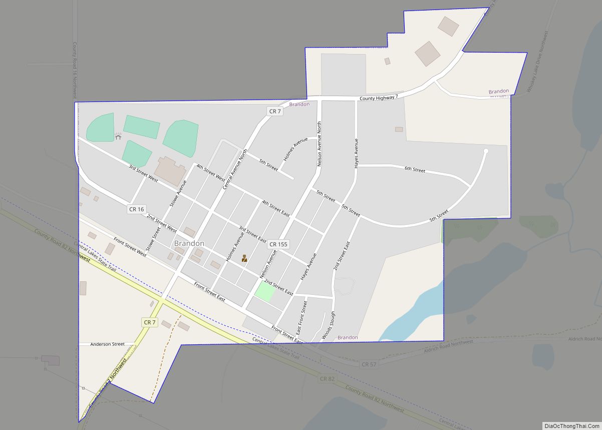
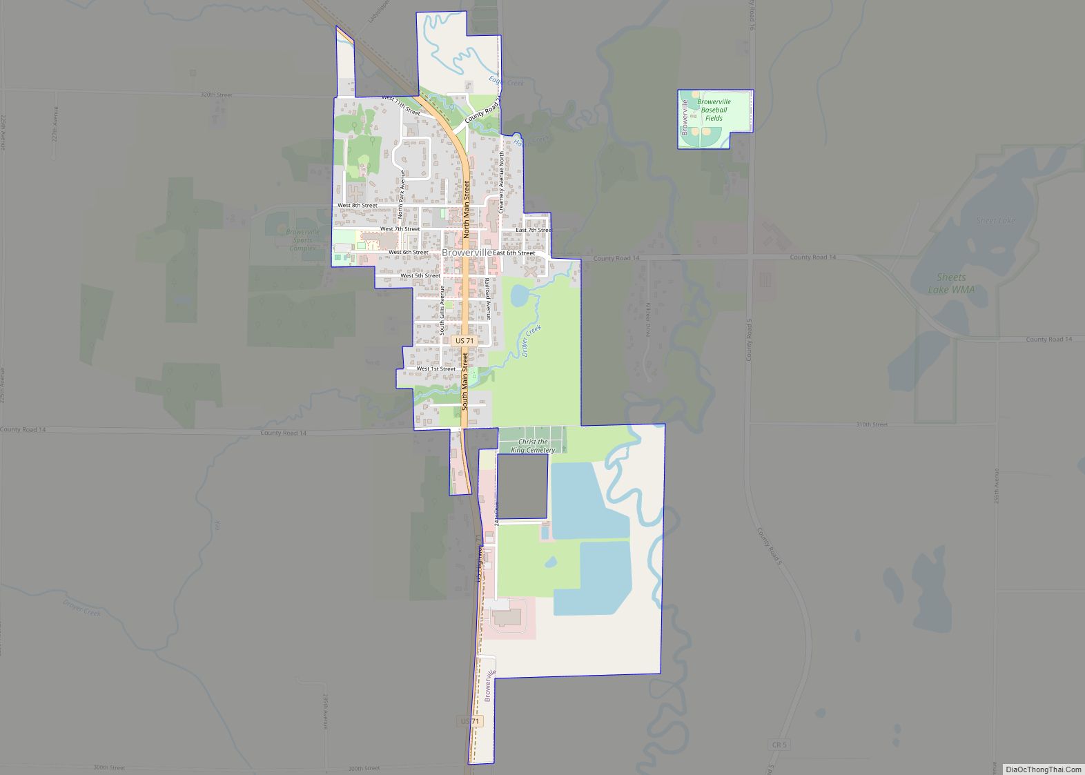
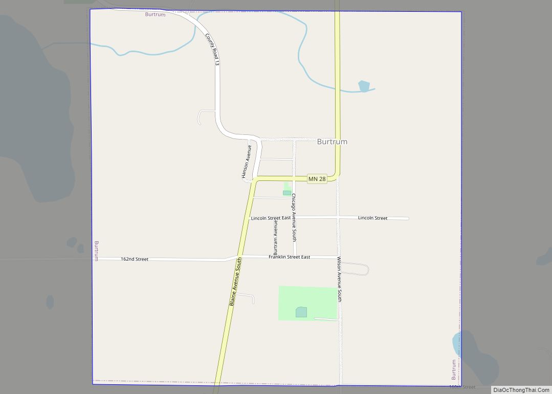
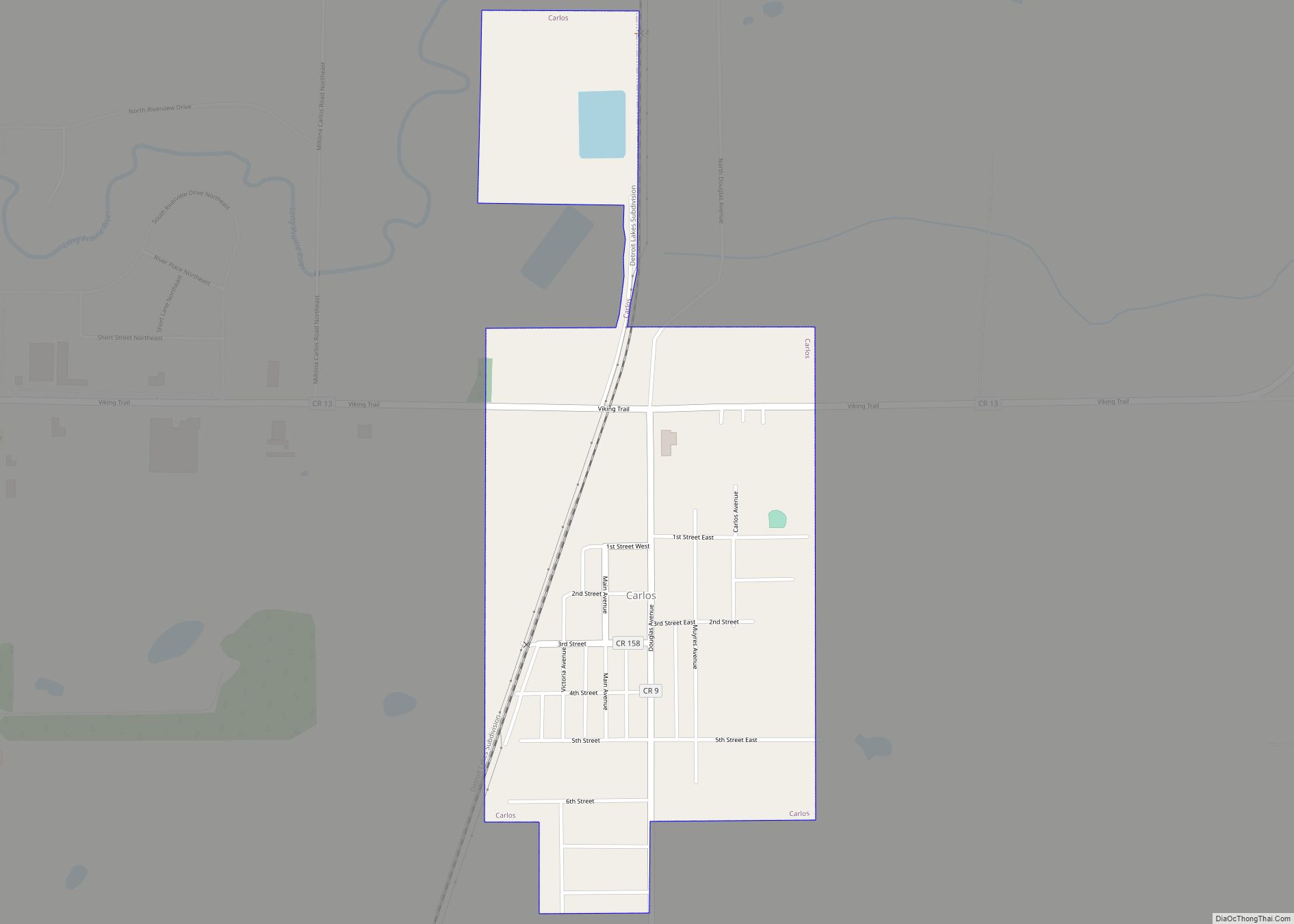
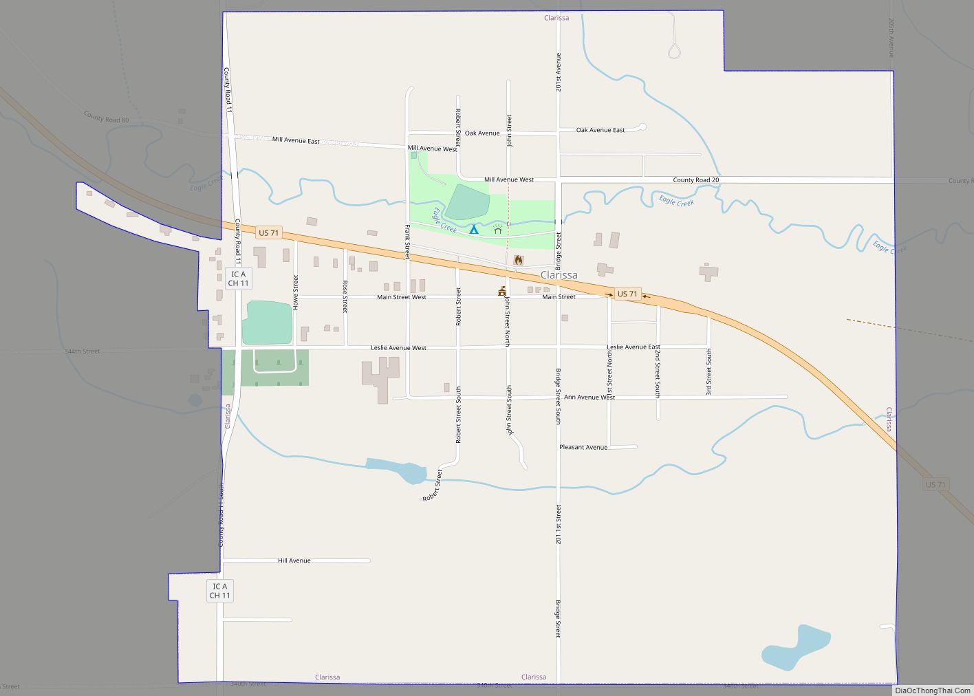
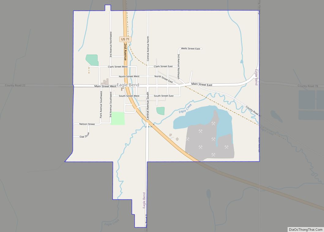
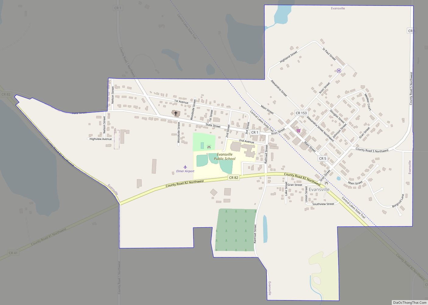
Online Interactive Map
Click on ![]() to view map in "full screen" mode.
to view map in "full screen" mode.
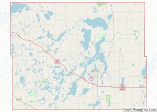
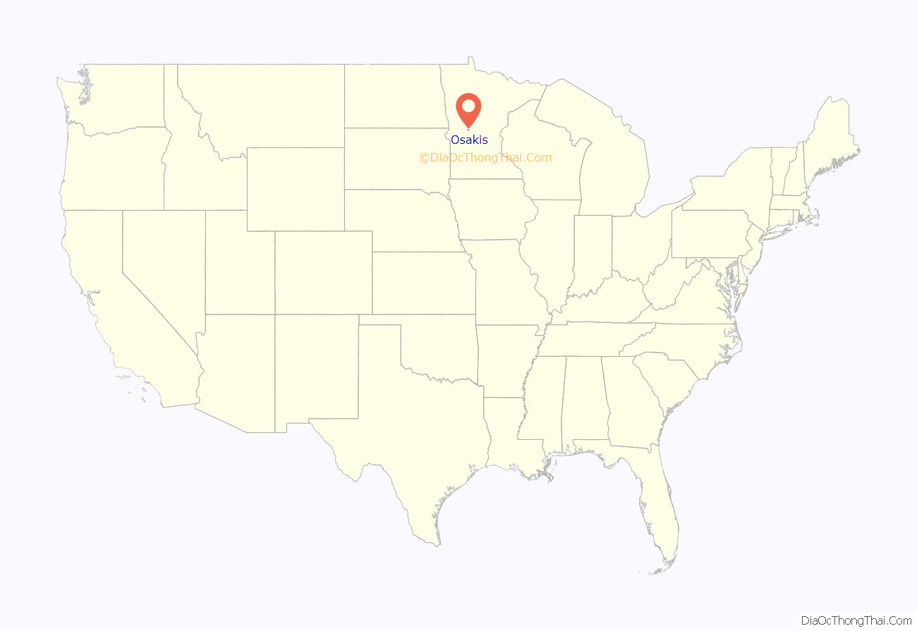
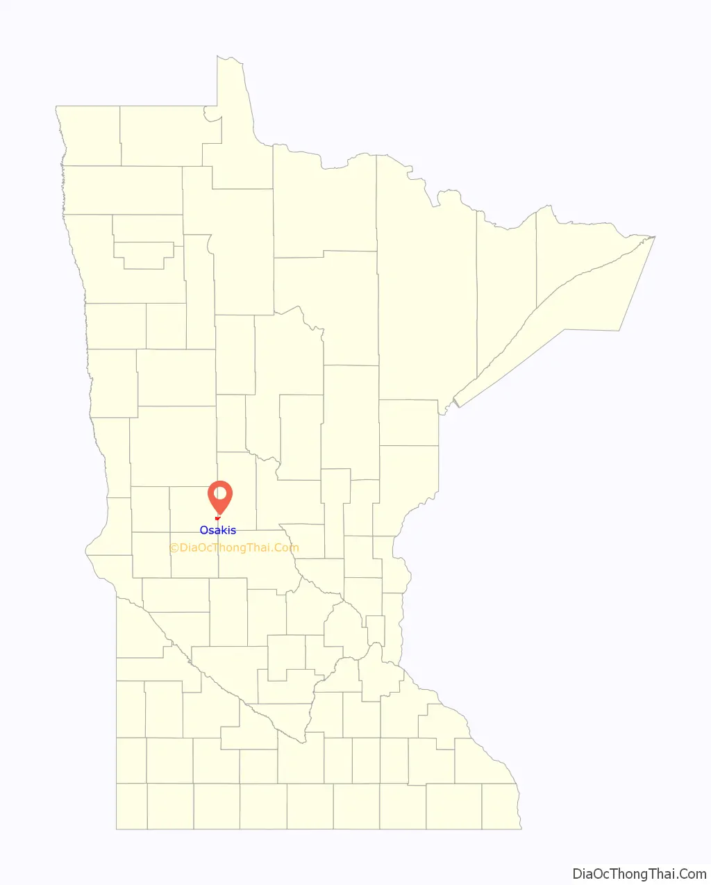
Osakis location map. Where is Osakis city?
History
The city took its name from nearby Lake Osakis.
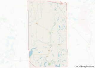
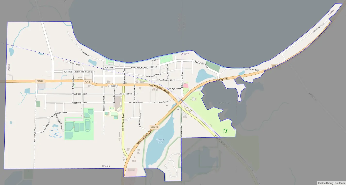
Osakis Road Map
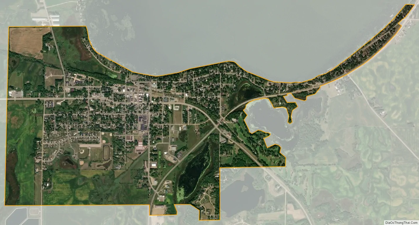
Osakis city Satellite Map
Geography
According to the United States Census Bureau, the city has a total area of 2.07 square miles (5.36 km); 1.95 square miles (5.05 km) is land and 0.12 square miles (0.31 km) is water. The ice-out records for Lake Osakis go back to 1870; this is the longest time series of any lake in Minnesota.
The main part of Osakis is in Douglas County; only a small part of the city extends into Todd County. Osakis is situated on the southwest shore of Lake Osakis, on Minnesota State Highway 27. Osakis is approximately one mile (1.6 km) from exit 114 of Interstate 94/U.S. Highway 52.
See also
Map of Minnesota State and its subdivision:- Aitkin
- Anoka
- Becker
- Beltrami
- Benton
- Big Stone
- Blue Earth
- Brown
- Carlton
- Carver
- Cass
- Chippewa
- Chisago
- Clay
- Clearwater
- Cook
- Cottonwood
- Crow Wing
- Dakota
- Dodge
- Douglas
- Faribault
- Fillmore
- Freeborn
- Goodhue
- Grant
- Hennepin
- Houston
- Hubbard
- Isanti
- Itasca
- Jackson
- Kanabec
- Kandiyohi
- Kittson
- Koochiching
- Lac qui Parle
- Lake
- Lake of the Woods
- Lake Superior
- Le Sueur
- Lincoln
- Lyon
- Mahnomen
- Marshall
- Martin
- McLeod
- Meeker
- Mille Lacs
- Morrison
- Mower
- Murray
- Nicollet
- Nobles
- Norman
- Olmsted
- Otter Tail
- Pennington
- Pine
- Pipestone
- Polk
- Pope
- Ramsey
- Red Lake
- Redwood
- Renville
- Rice
- Rock
- Roseau
- Saint Louis
- Scott
- Sherburne
- Sibley
- Stearns
- Steele
- Stevens
- Swift
- Todd
- Traverse
- Wabasha
- Wadena
- Waseca
- Washington
- Watonwan
- Wilkin
- Winona
- Wright
- Yellow Medicine
- Alabama
- Alaska
- Arizona
- Arkansas
- California
- Colorado
- Connecticut
- Delaware
- District of Columbia
- Florida
- Georgia
- Hawaii
- Idaho
- Illinois
- Indiana
- Iowa
- Kansas
- Kentucky
- Louisiana
- Maine
- Maryland
- Massachusetts
- Michigan
- Minnesota
- Mississippi
- Missouri
- Montana
- Nebraska
- Nevada
- New Hampshire
- New Jersey
- New Mexico
- New York
- North Carolina
- North Dakota
- Ohio
- Oklahoma
- Oregon
- Pennsylvania
- Rhode Island
- South Carolina
- South Dakota
- Tennessee
- Texas
- Utah
- Vermont
- Virginia
- Washington
- West Virginia
- Wisconsin
- Wyoming