Ottertail is a city in Otter Tail County, Minnesota, United States. The population was 629 at the 2020 census.
| Name: | Ottertail city |
|---|---|
| LSAD Code: | 25 |
| LSAD Description: | city (suffix) |
| State: | Minnesota |
| County: | Otter Tail County |
| Founded: | 1903 |
| Elevation: | 1,352 ft (412 m) |
| Total Area: | 5.97 sq mi (15.47 km²) |
| Land Area: | 4.28 sq mi (11.08 km²) |
| Water Area: | 1.70 sq mi (4.39 km²) |
| Total Population: | 629 |
| Population Density: | 147.07/sq mi (56.79/km²) |
| ZIP code: | 56571 |
| Area code: | 218 |
| FIPS code: | 2749210 |
| GNISfeature ID: | 0649060 |
Online Interactive Map
Click on ![]() to view map in "full screen" mode.
to view map in "full screen" mode.
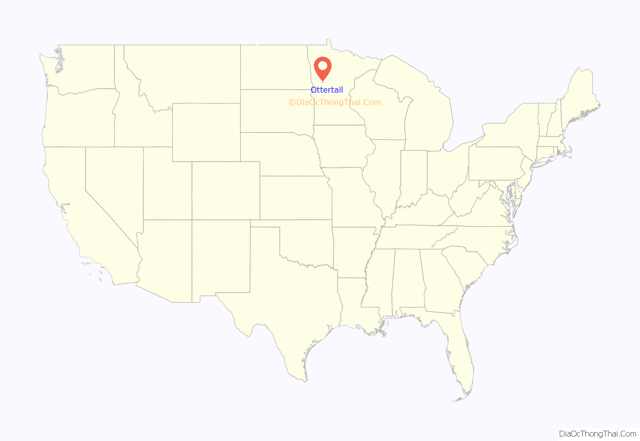
Ottertail location map. Where is Ottertail city?
History
Ottertail was platted in 1903, and named for nearby Otter Tail Lake.
“Otter Tail” City appeared on the United States Census as early as 1860.
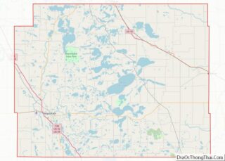
Ottertail Road Map
Ottertail city Satellite Map
Geography
According to the United States Census Bureau, the city has an area of 5.10 square miles (13.21 km), of which 4.28 square miles (11.09 km) is land and 0.82 square miles (2.12 km) is water.
Minnesota State Highways 78 and 108 are two of the main routes in the community.
Climate
Like the rest of Minnesota, Ottertail has a humid continental climate. It is above the line between the hot and cool summer types of the climate, which means the climate classification is Dfb on the Köppen climate classification. Winters are long and very cold and nights average subzero Fahrenheit. Summers are warm but frequently that weather gets broken up by convective rainfall.
See also
Map of Minnesota State and its subdivision:- Aitkin
- Anoka
- Becker
- Beltrami
- Benton
- Big Stone
- Blue Earth
- Brown
- Carlton
- Carver
- Cass
- Chippewa
- Chisago
- Clay
- Clearwater
- Cook
- Cottonwood
- Crow Wing
- Dakota
- Dodge
- Douglas
- Faribault
- Fillmore
- Freeborn
- Goodhue
- Grant
- Hennepin
- Houston
- Hubbard
- Isanti
- Itasca
- Jackson
- Kanabec
- Kandiyohi
- Kittson
- Koochiching
- Lac qui Parle
- Lake
- Lake of the Woods
- Lake Superior
- Le Sueur
- Lincoln
- Lyon
- Mahnomen
- Marshall
- Martin
- McLeod
- Meeker
- Mille Lacs
- Morrison
- Mower
- Murray
- Nicollet
- Nobles
- Norman
- Olmsted
- Otter Tail
- Pennington
- Pine
- Pipestone
- Polk
- Pope
- Ramsey
- Red Lake
- Redwood
- Renville
- Rice
- Rock
- Roseau
- Saint Louis
- Scott
- Sherburne
- Sibley
- Stearns
- Steele
- Stevens
- Swift
- Todd
- Traverse
- Wabasha
- Wadena
- Waseca
- Washington
- Watonwan
- Wilkin
- Winona
- Wright
- Yellow Medicine
- Alabama
- Alaska
- Arizona
- Arkansas
- California
- Colorado
- Connecticut
- Delaware
- District of Columbia
- Florida
- Georgia
- Hawaii
- Idaho
- Illinois
- Indiana
- Iowa
- Kansas
- Kentucky
- Louisiana
- Maine
- Maryland
- Massachusetts
- Michigan
- Minnesota
- Mississippi
- Missouri
- Montana
- Nebraska
- Nevada
- New Hampshire
- New Jersey
- New Mexico
- New York
- North Carolina
- North Dakota
- Ohio
- Oklahoma
- Oregon
- Pennsylvania
- Rhode Island
- South Carolina
- South Dakota
- Tennessee
- Texas
- Utah
- Vermont
- Virginia
- Washington
- West Virginia
- Wisconsin
- Wyoming
