Peterson is a city in Fillmore County, Minnesota, United States. The population was 199 at the 2010 census.
| Name: | Peterson city |
|---|---|
| LSAD Code: | 25 |
| LSAD Description: | city (suffix) |
| State: | Minnesota |
| County: | Fillmore County |
| Elevation: | 761 ft (232 m) |
| Total Area: | 0.49 sq mi (1.28 km²) |
| Land Area: | 0.47 sq mi (1.23 km²) |
| Water Area: | 0.02 sq mi (0.05 km²) |
| Total Population: | 234 |
| Population Density: | 492.63/sq mi (190.04/km²) |
| ZIP code: | 55962 |
| Area code: | 507 |
| FIPS code: | 2750596 |
| GNISfeature ID: | 0649321 |
| Website: | http://www.petersonmn.org/ |
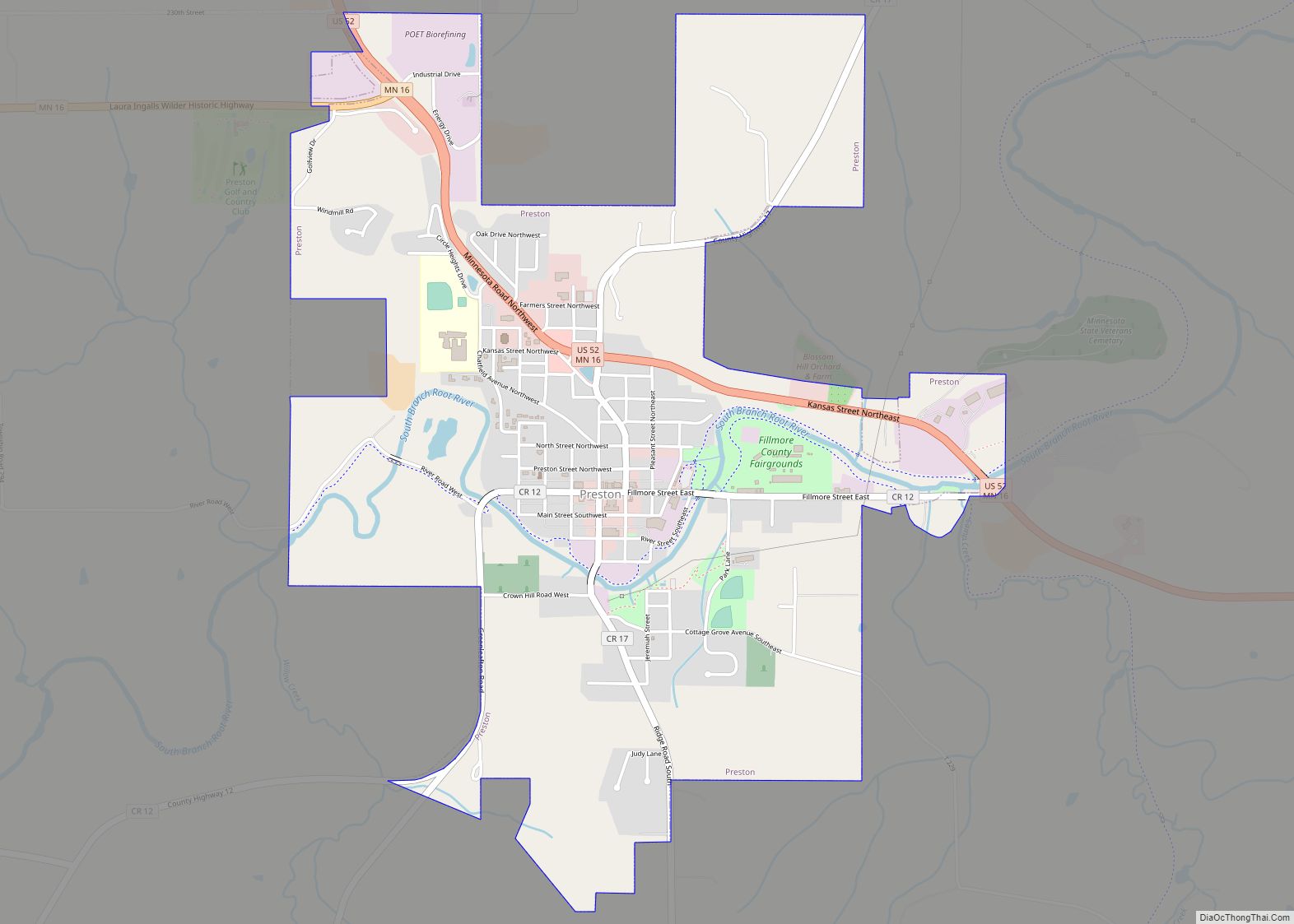
Online Interactive Map
Click on ![]() to view map in "full screen" mode.
to view map in "full screen" mode.
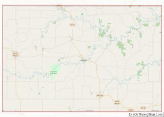
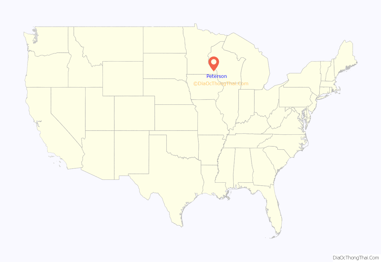
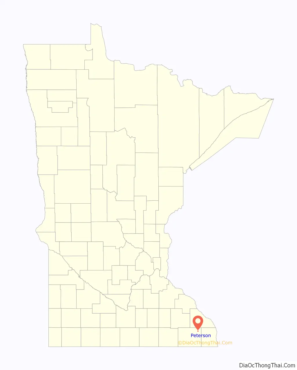
Peterson location map. Where is Peterson city?
History
In the year 1853, Peter Peterson Haslerud purchased and platted the village site of Peterson and was the major force behind its early growth and development. The community was named after him. After buying the land and platting the town, he was elected to the Minnesota State Legislature, served in several appointed positions and in 1856 was appointed by the Governor of Minnesota as Immigration officer for the 14th District of Minnesota. Peter was instrumental in bringing the railroad through Rushford Township in 1867 and he gave the railroad company fifteen acres of land and along with other citizens contributed $800. to secure a station and warehouse at Peterson. Peter began buying wheat from local farmers and shipping it back to the eastern part of the U.S.
In 1870, a post office was established in Peterson and Even A. Hjelie was appointed first postmaster. In 1871, Peter Peterson Haslerud developed a “trout farm” on his property outside Peterson and continued to expand the boundaries of the town.
In 1873, Ole Ensberg started a blacksmith shop and in 1874 an additional quarter section of land was laid out into lots and added to the village of Peterson. In 1875, two general stores, a hardware store, and a drug store were established. In 1875, the telegraph was installed at the railroad station and G.P. Haslerud (Peter Peterson Haslerud’s oldest son) was appointed agent. Also in that year fifteen additional acres were platted and Prospect Park, Mill, Centennial, Fillmore, Church, and Myrtle Streets were named. In 1876, a mill was built with farmers living in the surrounding areas subscribing most of the stock. A livery barn, a steam mill, the Peterson Hotel, the Northwestern Bar and other small businesses opened for business.
In 1882, the Minnesota and Dakota Gazetteer, gave a contemporary description of Peterson:
“An unincorporated village of 100 inhabitants in Rushford Township, northeastern part of Fillmore County, and a station on the Southern Minnesota Railroad, 25 miles from Preston and 120 miles from Minneapolis. It is situated on the Root Rover which furnishes power to a flour mill at this point. A steam flour mill is also in operation in the village and there is a Lutheran church and district school. The exports are flour and wheat. Modes of communication are: Western Union Telegraph, American Express, two stages semi-weekly from Pilot Mound to Peterson via Arendahl and daily mail service.”
Peterson was organized as a village in 1909.
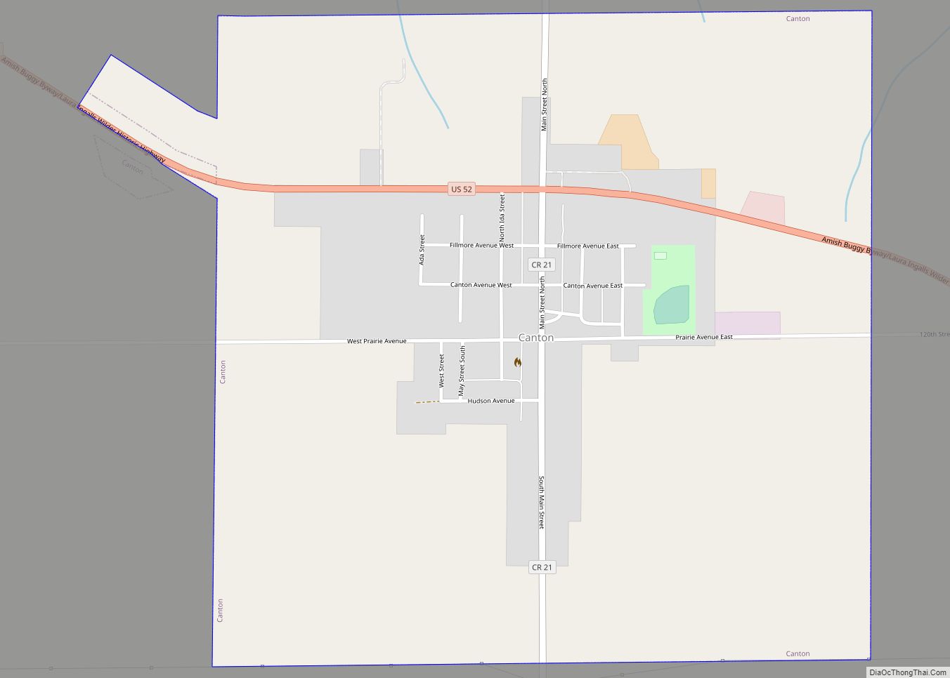
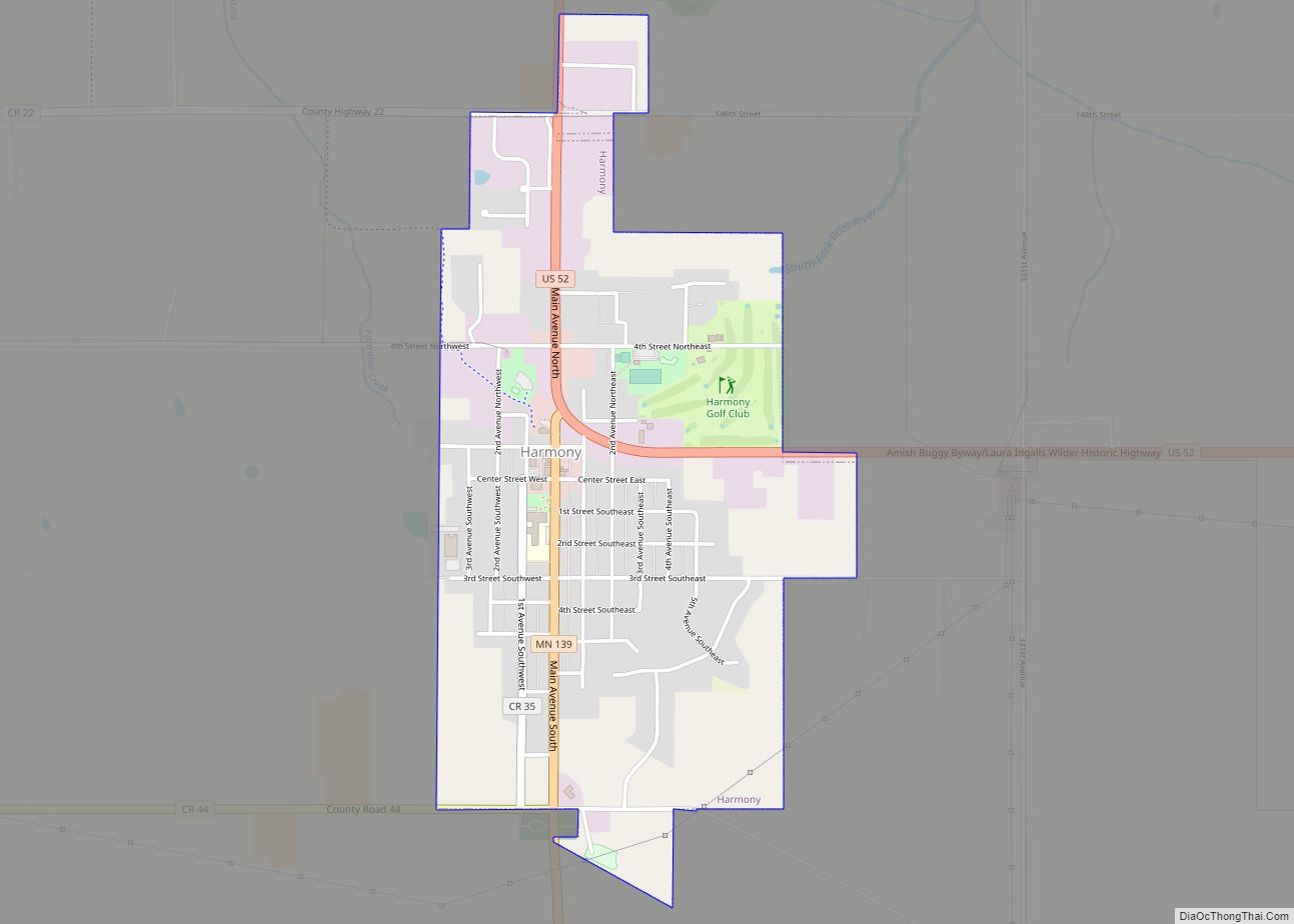
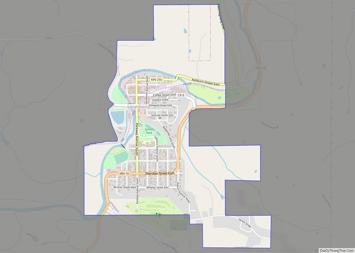
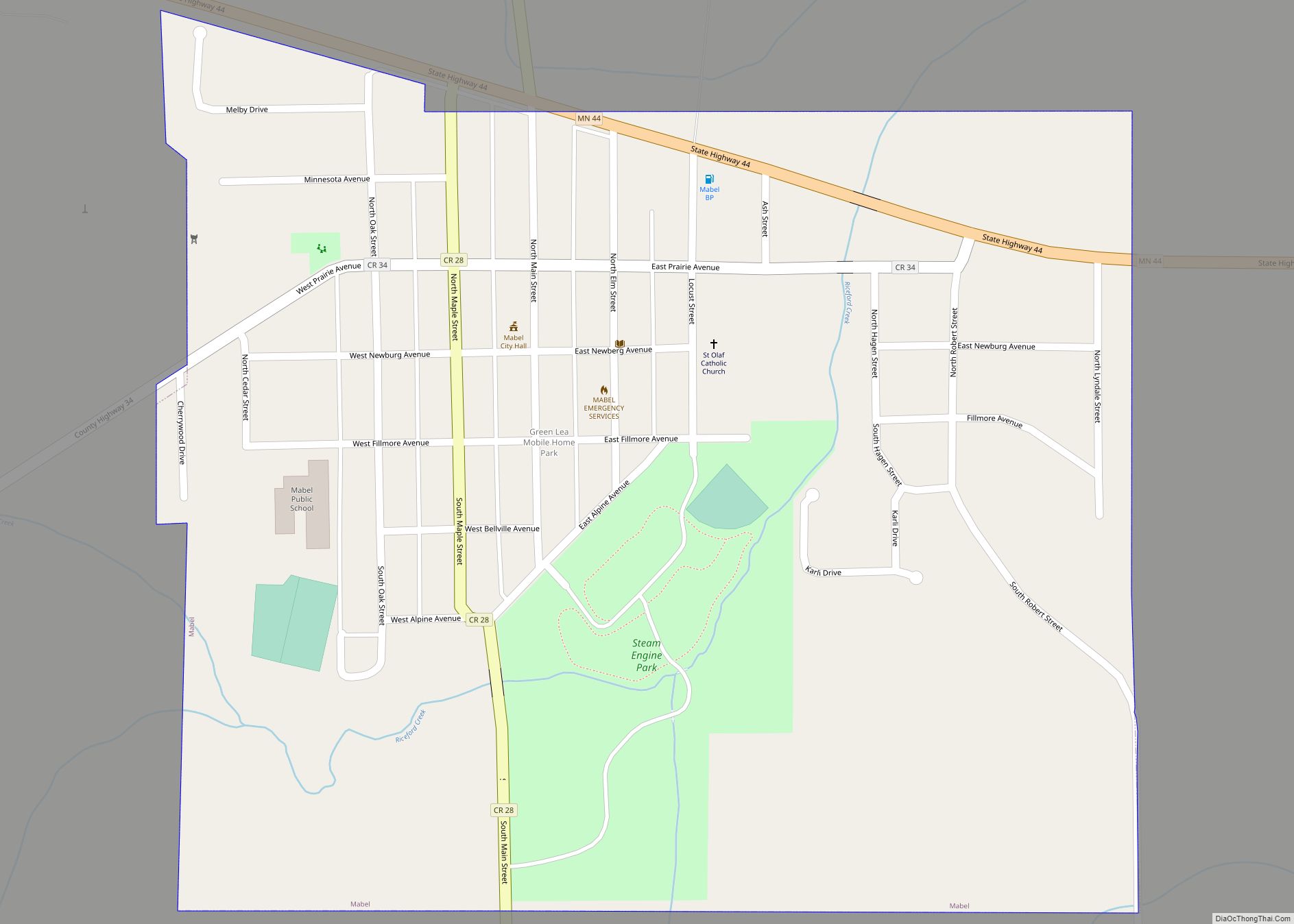
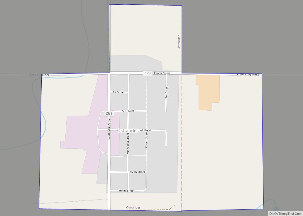
Peterson Road Map
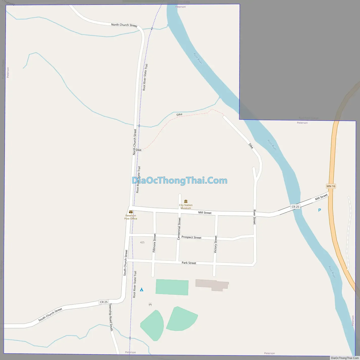
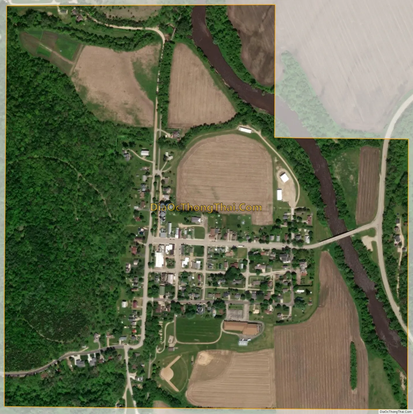
Peterson city Satellite Map
Geography
According to the United States Census Bureau, the city has a total area of 0.51 square miles (1.32 km), of which 0.49 square miles (1.27 km) is land and 0.02 square miles (0.05 km) is water.
See also
Map of Minnesota State and its subdivision:- Aitkin
- Anoka
- Becker
- Beltrami
- Benton
- Big Stone
- Blue Earth
- Brown
- Carlton
- Carver
- Cass
- Chippewa
- Chisago
- Clay
- Clearwater
- Cook
- Cottonwood
- Crow Wing
- Dakota
- Dodge
- Douglas
- Faribault
- Fillmore
- Freeborn
- Goodhue
- Grant
- Hennepin
- Houston
- Hubbard
- Isanti
- Itasca
- Jackson
- Kanabec
- Kandiyohi
- Kittson
- Koochiching
- Lac qui Parle
- Lake
- Lake of the Woods
- Lake Superior
- Le Sueur
- Lincoln
- Lyon
- Mahnomen
- Marshall
- Martin
- McLeod
- Meeker
- Mille Lacs
- Morrison
- Mower
- Murray
- Nicollet
- Nobles
- Norman
- Olmsted
- Otter Tail
- Pennington
- Pine
- Pipestone
- Polk
- Pope
- Ramsey
- Red Lake
- Redwood
- Renville
- Rice
- Rock
- Roseau
- Saint Louis
- Scott
- Sherburne
- Sibley
- Stearns
- Steele
- Stevens
- Swift
- Todd
- Traverse
- Wabasha
- Wadena
- Waseca
- Washington
- Watonwan
- Wilkin
- Winona
- Wright
- Yellow Medicine
- Alabama
- Alaska
- Arizona
- Arkansas
- California
- Colorado
- Connecticut
- Delaware
- District of Columbia
- Florida
- Georgia
- Hawaii
- Idaho
- Illinois
- Indiana
- Iowa
- Kansas
- Kentucky
- Louisiana
- Maine
- Maryland
- Massachusetts
- Michigan
- Minnesota
- Mississippi
- Missouri
- Montana
- Nebraska
- Nevada
- New Hampshire
- New Jersey
- New Mexico
- New York
- North Carolina
- North Dakota
- Ohio
- Oklahoma
- Oregon
- Pennsylvania
- Rhode Island
- South Carolina
- South Dakota
- Tennessee
- Texas
- Utah
- Vermont
- Virginia
- Washington
- West Virginia
- Wisconsin
- Wyoming