Quamba is a city in Kanabec County, Minnesota, United States. The population was 123 at the 2010 census. It is the only city in Minnesota that begins with the letter Q.
| Name: | Quamba city |
|---|---|
| LSAD Code: | 25 |
| LSAD Description: | city (suffix) |
| State: | Minnesota |
| County: | Kanabec County |
| Elevation: | 1,014 ft (309 m) |
| Total Area: | 0.70 sq mi (1.82 km²) |
| Land Area: | 0.70 sq mi (1.82 km²) |
| Water Area: | 0.00 sq mi (0.00 km²) |
| Total Population: | 107 |
| Population Density: | 151.99/sq mi (58.72/km²) |
| ZIP code: | 55007 |
| Area code: | 320 |
| FIPS code: | 2752756 |
| GNISfeature ID: | 0649769 |
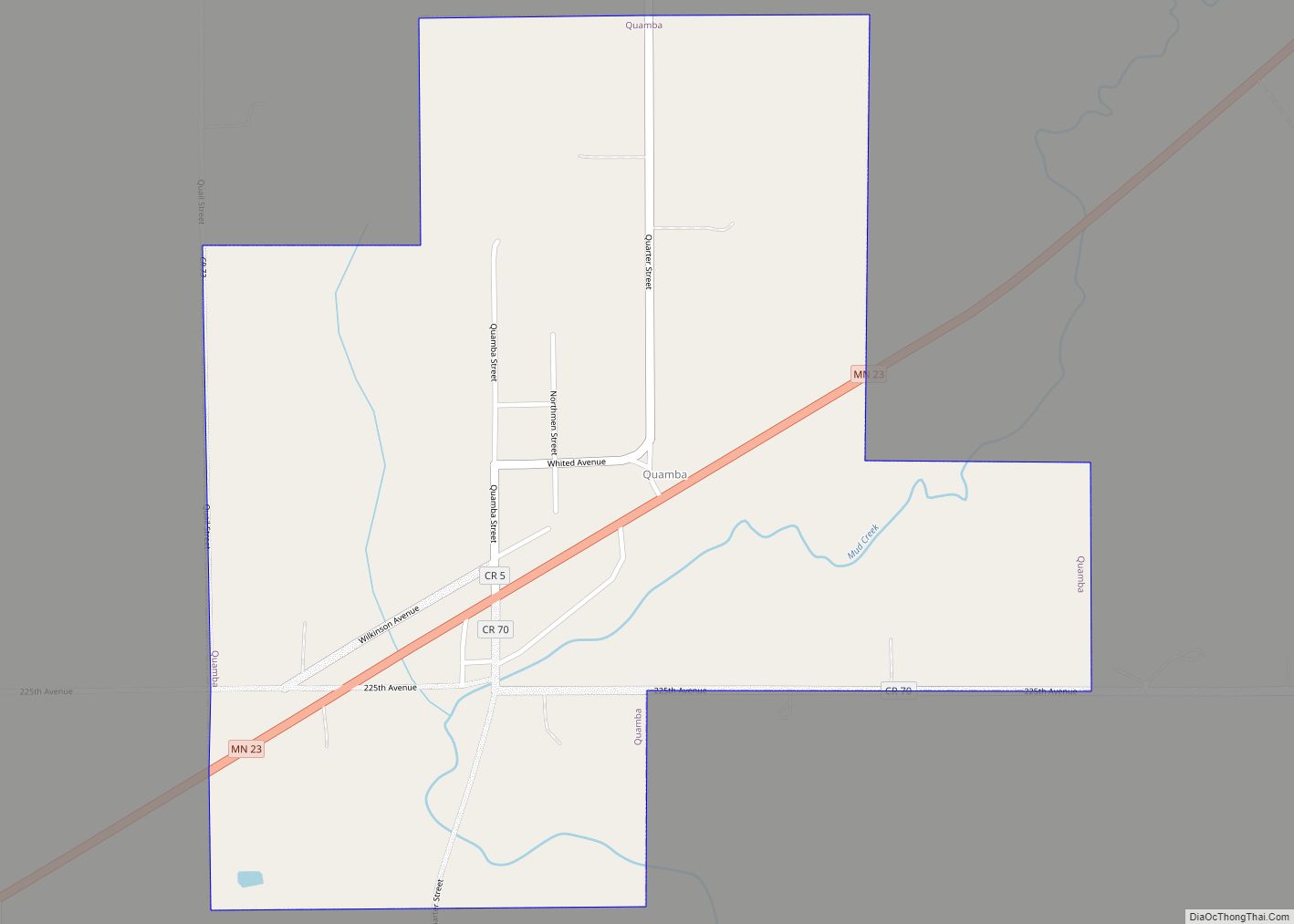
Online Interactive Map
Click on ![]() to view map in "full screen" mode.
to view map in "full screen" mode.
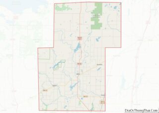
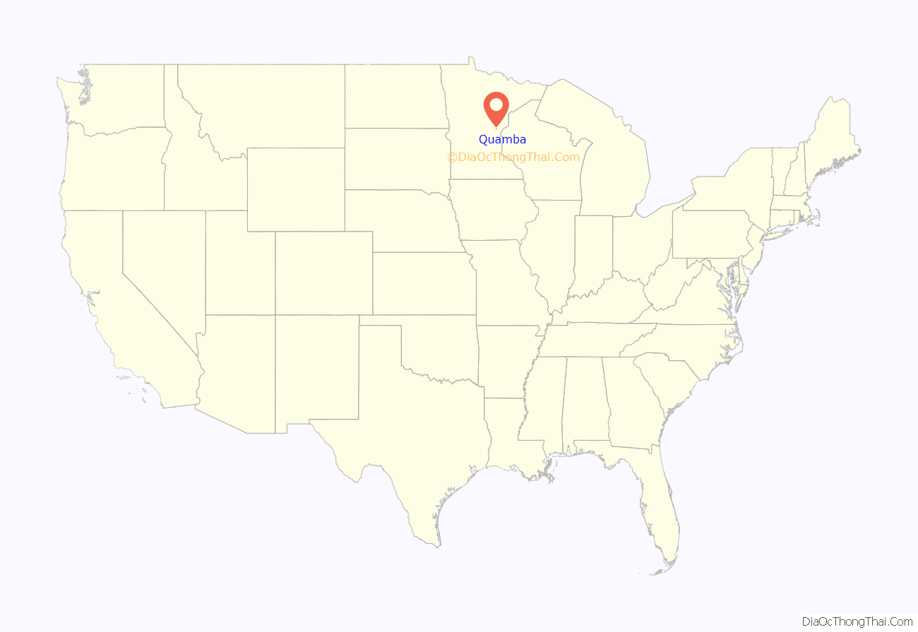
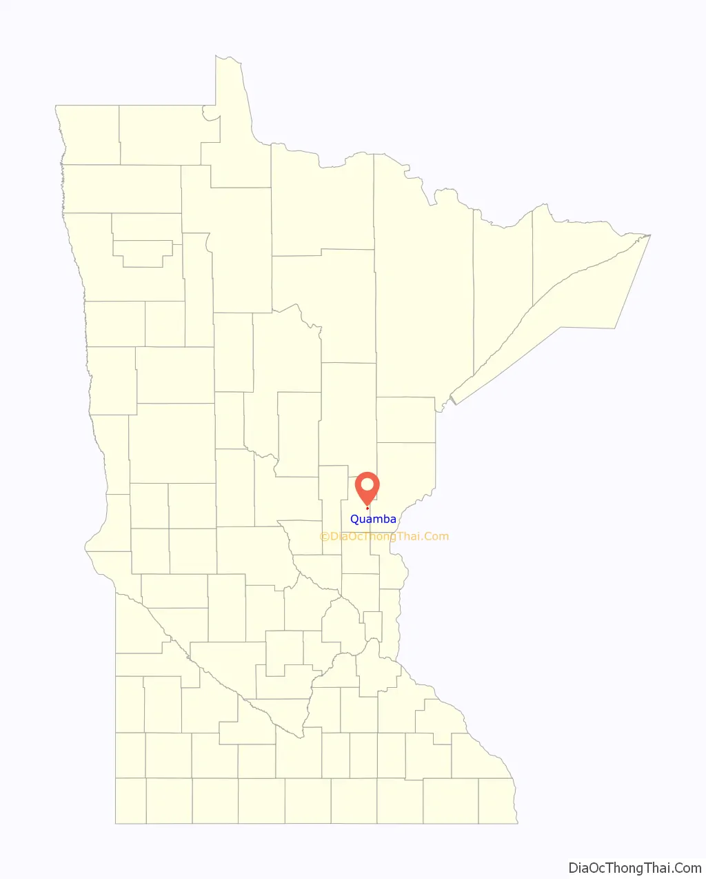
Quamba location map. Where is Quamba city?
History
Quamba was first established in 1882 on the side track of the Great Northern Railway. Originally, the community was called “Mud Creek” after the creek that flows through the community and that the railroad tracks crossed; the Ojibwe population in the area, though, called the creek Basa’igani-ziibiwishenh (“Creek to square Cedar Timbers”), thus calling the community Basa’igani-ziibiwishenying (“By the Creek to Square Cedar Timbers”). When the depot was built, the name was changed to “Quamba,” which according to the railway officials was derived from an Indian word for “mudhole”; most likely the name derives from the Ottawa word: zhashkwiimbaakmigaa (fully vocalized as azhashki-wiimbaakamigaa: “be a muddy hole in the ground”). The community was platted in 1901 by Oric Ogilvie Whited and incorporated as a village on July 11, 1952. Its post office operated 1901–1903 and 1906–1966.
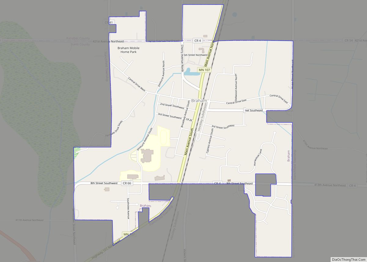
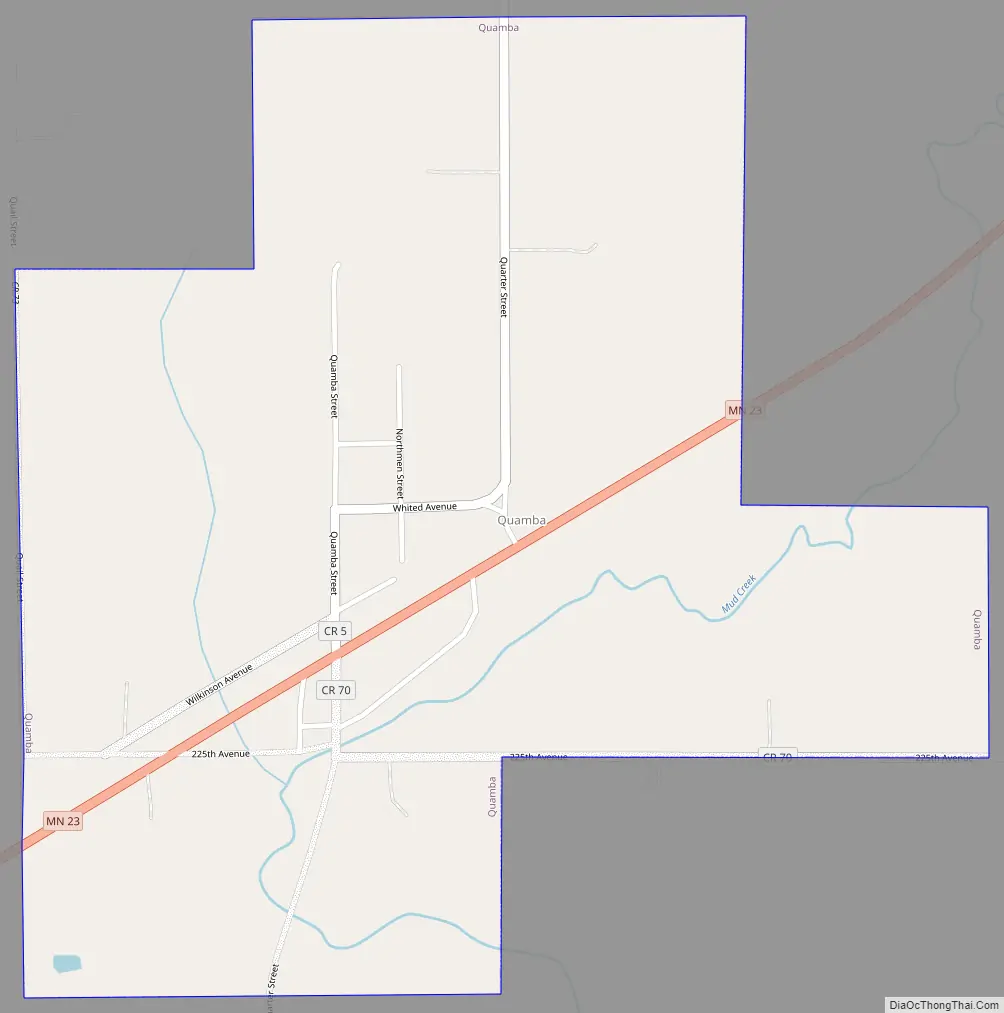
Quamba Road Map
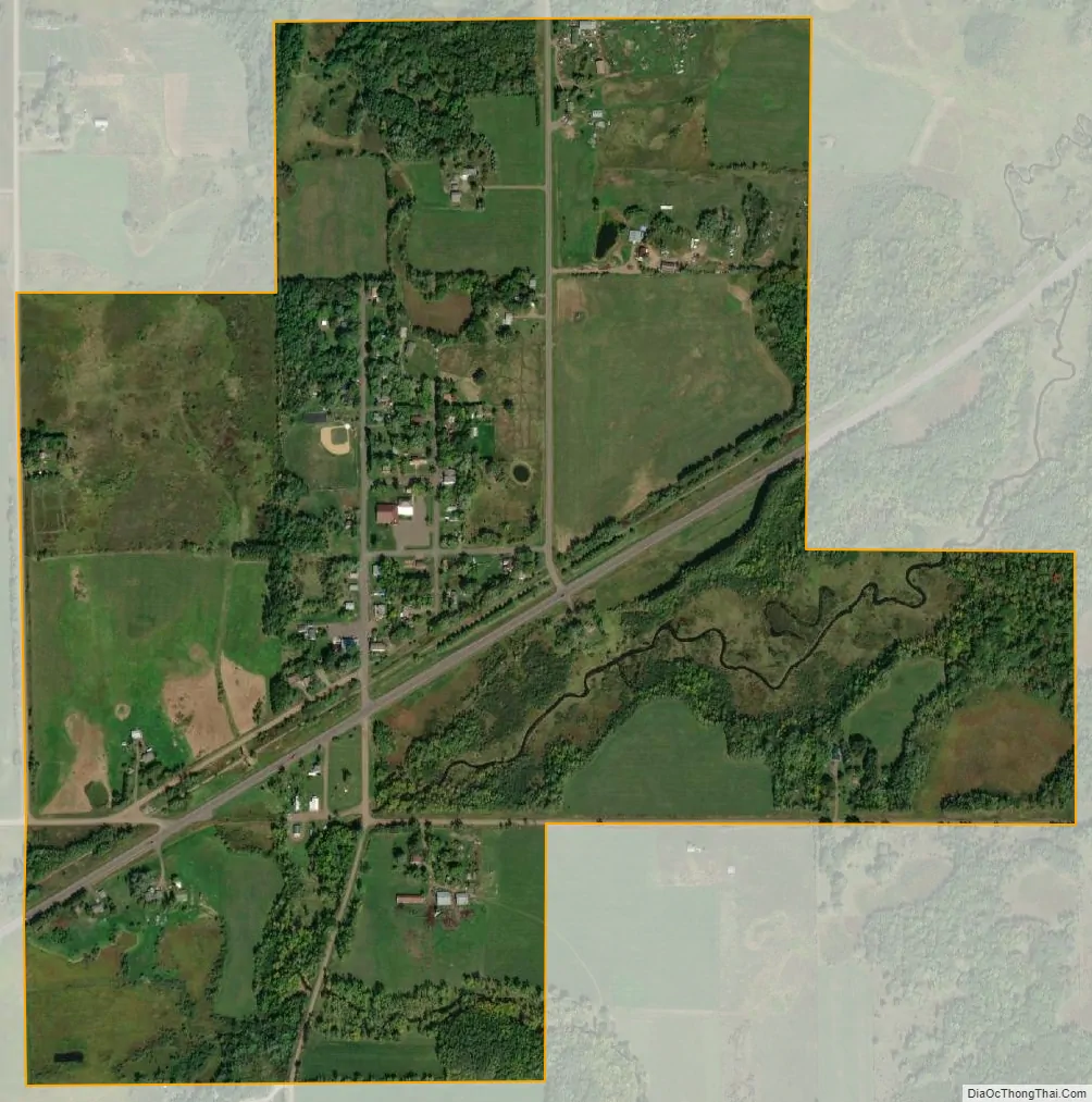
Quamba city Satellite Map
Geography
According to the United States Census Bureau, the city has a total area of 0.72 square miles (1.86 km), all land.
See also
Map of Minnesota State and its subdivision:- Aitkin
- Anoka
- Becker
- Beltrami
- Benton
- Big Stone
- Blue Earth
- Brown
- Carlton
- Carver
- Cass
- Chippewa
- Chisago
- Clay
- Clearwater
- Cook
- Cottonwood
- Crow Wing
- Dakota
- Dodge
- Douglas
- Faribault
- Fillmore
- Freeborn
- Goodhue
- Grant
- Hennepin
- Houston
- Hubbard
- Isanti
- Itasca
- Jackson
- Kanabec
- Kandiyohi
- Kittson
- Koochiching
- Lac qui Parle
- Lake
- Lake of the Woods
- Lake Superior
- Le Sueur
- Lincoln
- Lyon
- Mahnomen
- Marshall
- Martin
- McLeod
- Meeker
- Mille Lacs
- Morrison
- Mower
- Murray
- Nicollet
- Nobles
- Norman
- Olmsted
- Otter Tail
- Pennington
- Pine
- Pipestone
- Polk
- Pope
- Ramsey
- Red Lake
- Redwood
- Renville
- Rice
- Rock
- Roseau
- Saint Louis
- Scott
- Sherburne
- Sibley
- Stearns
- Steele
- Stevens
- Swift
- Todd
- Traverse
- Wabasha
- Wadena
- Waseca
- Washington
- Watonwan
- Wilkin
- Winona
- Wright
- Yellow Medicine
- Alabama
- Alaska
- Arizona
- Arkansas
- California
- Colorado
- Connecticut
- Delaware
- District of Columbia
- Florida
- Georgia
- Hawaii
- Idaho
- Illinois
- Indiana
- Iowa
- Kansas
- Kentucky
- Louisiana
- Maine
- Maryland
- Massachusetts
- Michigan
- Minnesota
- Mississippi
- Missouri
- Montana
- Nebraska
- Nevada
- New Hampshire
- New Jersey
- New Mexico
- New York
- North Carolina
- North Dakota
- Ohio
- Oklahoma
- Oregon
- Pennsylvania
- Rhode Island
- South Carolina
- South Dakota
- Tennessee
- Texas
- Utah
- Vermont
- Virginia
- Washington
- West Virginia
- Wisconsin
- Wyoming