Remer is a city in Cass County, Minnesota, United States. The population was 370 at the 2010 census. It is part of the Brainerd Micropolitan Statistical Area.
Minnesota State Highways 6 and 200 are two of the main arterial routes in the community.
| Name: | Remer city |
|---|---|
| LSAD Code: | 25 |
| LSAD Description: | city (suffix) |
| State: | Minnesota |
| County: | Cass County |
| Elevation: | 1,342 ft (409 m) |
| Total Area: | 1.33 sq mi (3.44 km²) |
| Land Area: | 1.33 sq mi (3.44 km²) |
| Water Area: | 0.00 sq mi (0.00 km²) |
| Total Population: | 391 |
| Population Density: | 294.21/sq mi (113.62/km²) |
| ZIP code: | 56672 |
| Area code: | 218 |
| FIPS code: | 2753782 |
| GNISfeature ID: | 0658015 |
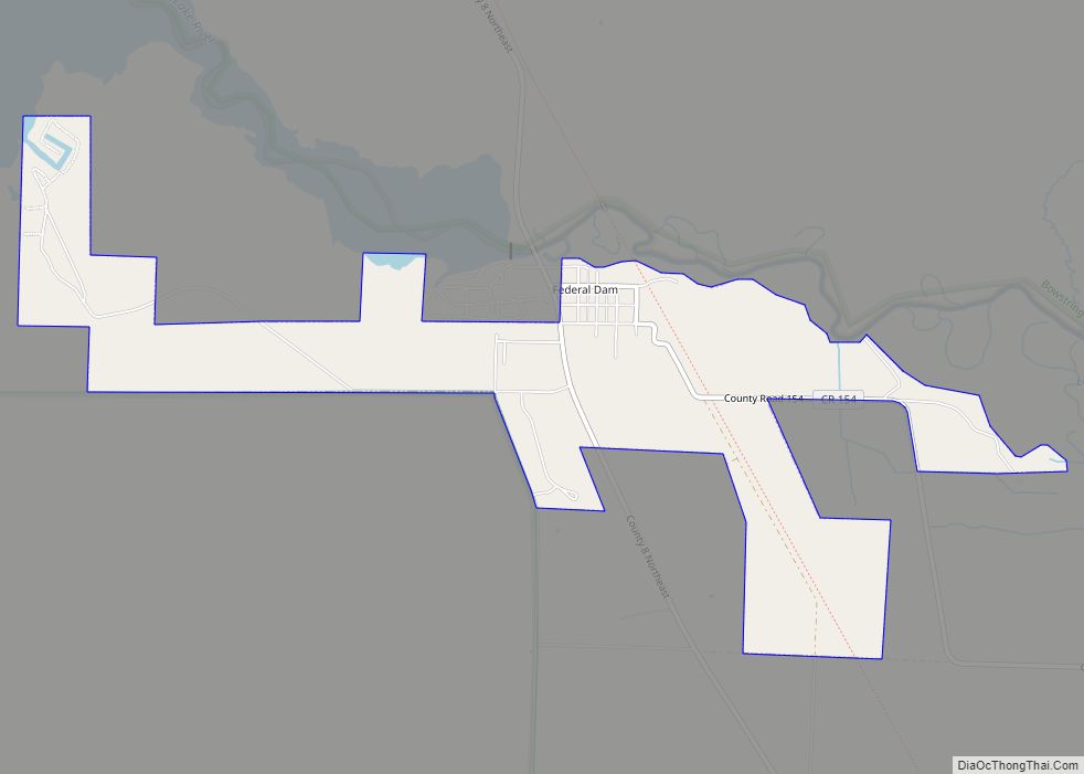
Online Interactive Map
Click on ![]() to view map in "full screen" mode.
to view map in "full screen" mode.
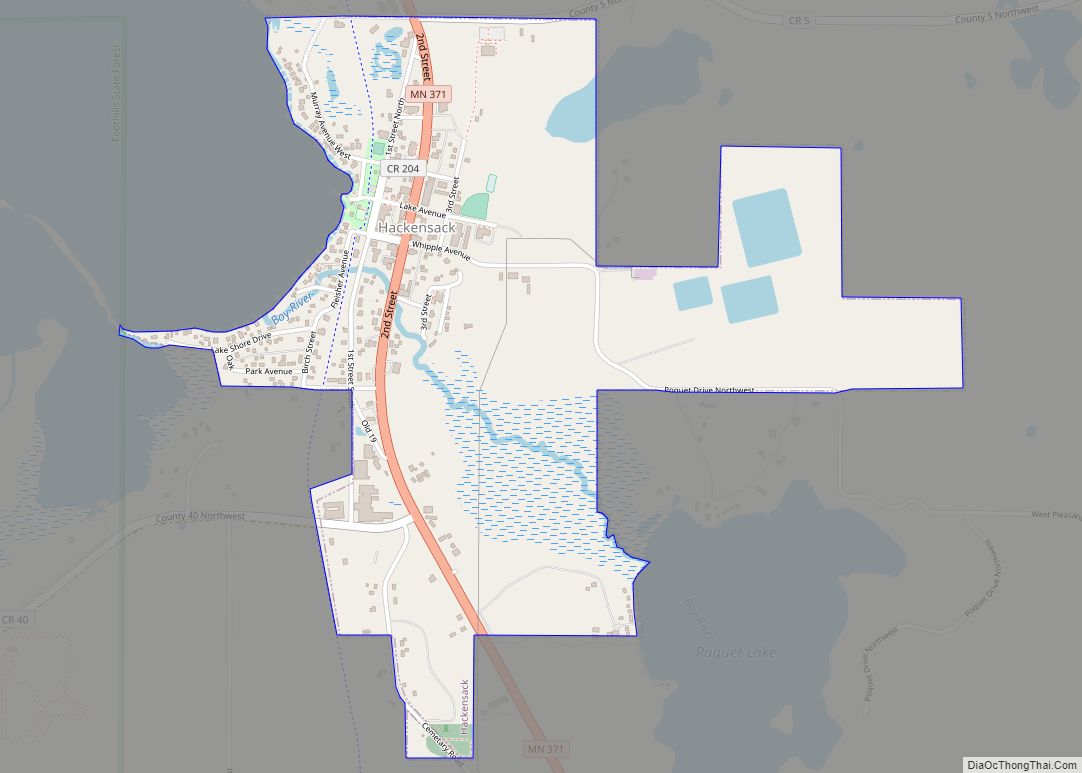
Remer location map. Where is Remer city?


History
A post office called Remer has been in operation since 1904. The city was named for its first postmaster, William P. Remer.
Remer is also the location of the Thunder Lake Lodge, where Al Capone stayed on his vacations to Minnesota. The room he stayed in was named McCleary Cabin, which was originally built in 1912. In 2009, a motion-activated camera captured a picture of what some consider Bigfoot in an area near Remer.
Late in World War II, a logging camp manned by prisoners of war was at the site of an old CCC camp near Remer.
Up until 1959, the Soo Line provided passenger rail service at Remer station.
The town claims to have had Bigfoot sightings since the late 1800s, and holds a Bigfoot Days celebration each summer. The All Gas No Brakes series released a video documenting the 2020 festival.
Remer Road Map

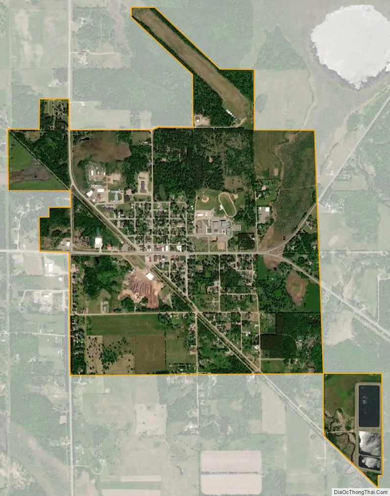
Remer city Satellite Map
Geography
According to the United States Census Bureau, the city has an area of 1.38 square miles (3.57 km), all land. The elevation is 1,342 ft (409 m) above sea level.
See also
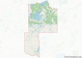
Map of Minnesota State and its subdivision:- Aitkin
- Anoka
- Becker
- Beltrami
- Benton
- Big Stone
- Blue Earth
- Brown
- Carlton
- Carver
- Cass
- Chippewa
- Chisago
- Clay
- Clearwater
- Cook
- Cottonwood
- Crow Wing
- Dakota
- Dodge
- Douglas
- Faribault
- Fillmore
- Freeborn
- Goodhue
- Grant
- Hennepin
- Houston
- Hubbard
- Isanti
- Itasca
- Jackson
- Kanabec
- Kandiyohi
- Kittson
- Koochiching
- Lac qui Parle
- Lake
- Lake of the Woods
- Lake Superior
- Le Sueur
- Lincoln
- Lyon
- Mahnomen
- Marshall
- Martin
- McLeod
- Meeker
- Mille Lacs
- Morrison
- Mower
- Murray
- Nicollet
- Nobles
- Norman
- Olmsted
- Otter Tail
- Pennington
- Pine
- Pipestone
- Polk
- Pope
- Ramsey
- Red Lake
- Redwood
- Renville
- Rice
- Rock
- Roseau
- Saint Louis
- Scott
- Sherburne
- Sibley
- Stearns
- Steele
- Stevens
- Swift
- Todd
- Traverse
- Wabasha
- Wadena
- Waseca
- Washington
- Watonwan
- Wilkin
- Winona
- Wright
- Yellow Medicine
- Alabama
- Alaska
- Arizona
- Arkansas
- California
- Colorado
- Connecticut
- Delaware
- District of Columbia
- Florida
- Georgia
- Hawaii
- Idaho
- Illinois
- Indiana
- Iowa
- Kansas
- Kentucky
- Louisiana
- Maine
- Maryland
- Massachusetts
- Michigan
- Minnesota
- Mississippi
- Missouri
- Montana
- Nebraska
- Nevada
- New Hampshire
- New Jersey
- New Mexico
- New York
- North Carolina
- North Dakota
- Ohio
- Oklahoma
- Oregon
- Pennsylvania
- Rhode Island
- South Carolina
- South Dakota
- Tennessee
- Texas
- Utah
- Vermont
- Virginia
- Washington
- West Virginia
- Wisconsin
- Wyoming