Royalton is a city in Morrison and Benton counties in the U.S. state of Minnesota, along the Platte River. The population was 1,281 at the 2020 census. The city is located mainly within Morrison County.
The Benton County portion of Royalton is part of the St. Cloud Metropolitan Statistical Area.
| Name: | Royalton city |
|---|---|
| LSAD Code: | 25 |
| LSAD Description: | city (suffix) |
| State: | Minnesota |
| County: | Benton County, Morrison County |
| Elevation: | 1,079 ft (329 m) |
| Total Area: | 2.01 sq mi (5.20 km²) |
| Land Area: | 2.01 sq mi (5.20 km²) |
| Water Area: | 0.00 sq mi (0.00 km²) |
| Total Population: | 1,281 |
| Population Density: | 638.58/sq mi (246.51/km²) |
| ZIP code: | 56373 |
| Area code: | 320 |
| FIPS code: | 2756176 |
| GNISfeature ID: | 0650375 |
| Website: | www.royaltonmn.com |
Online Interactive Map
Click on ![]() to view map in "full screen" mode.
to view map in "full screen" mode.
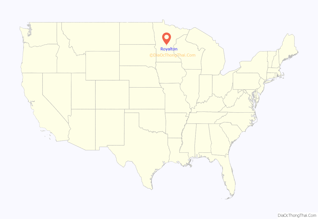
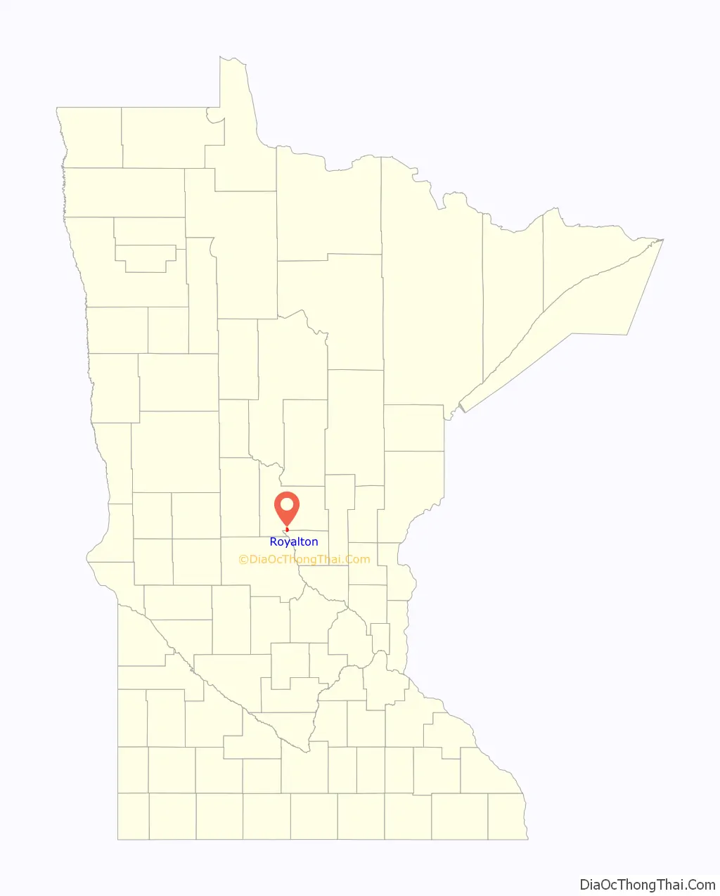
Royalton location map. Where is Royalton city?
History
Royalton was platted in 1878, and named after Royalton, Vermont, the native home of a share of the early settlers. Royalton was incorporated in 1887.
Royalton has been a participant with Green Step Cities since its inception in 2010 and became the first municipal building in Minnesota to install solar PV panels with a 7 kW array on the roof of City Hall.
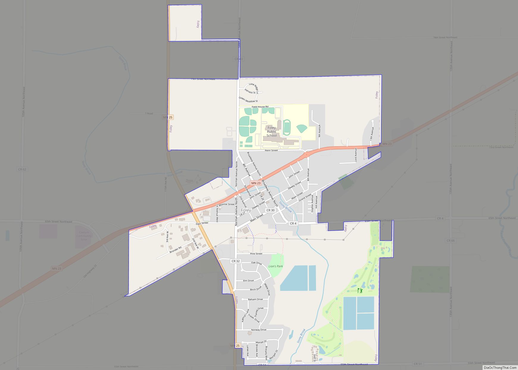
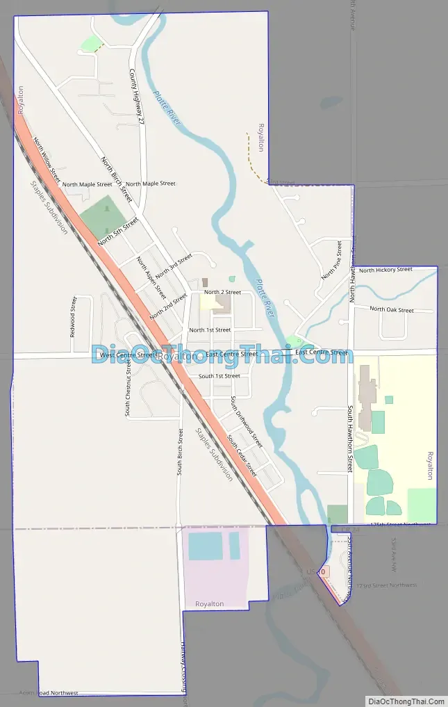
Royalton Road Map
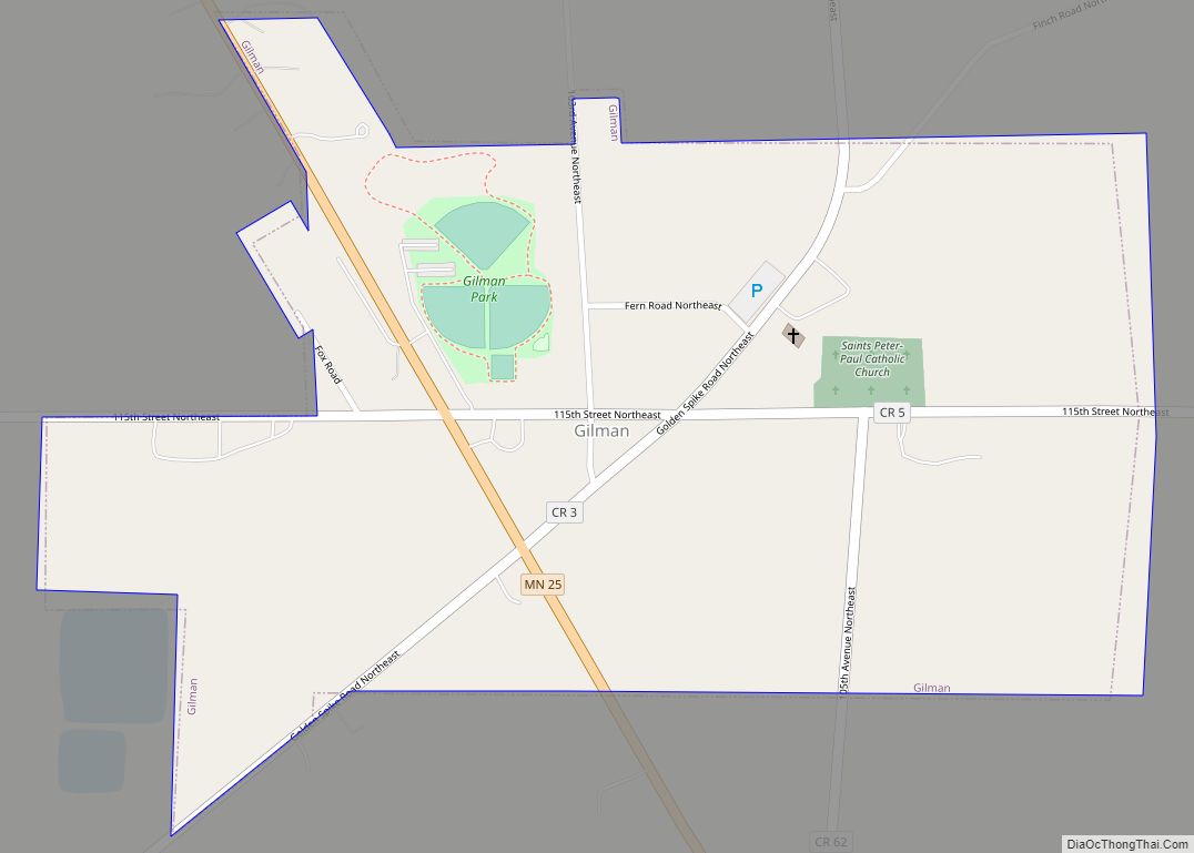
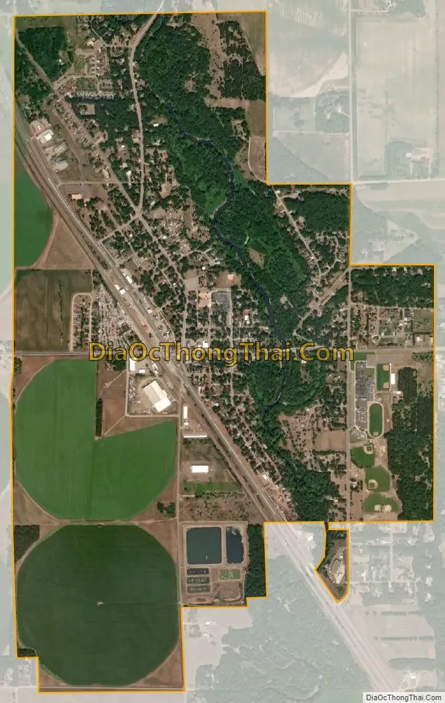
Royalton city Satellite Map
Geography
According to the United States Census Bureau, the city has a total area of 1.99 square miles (5.15 km), all land.
U.S. Highway 10 serves as a main route in the community.
See also
Map of Minnesota State and its subdivision:- Aitkin
- Anoka
- Becker
- Beltrami
- Benton
- Big Stone
- Blue Earth
- Brown
- Carlton
- Carver
- Cass
- Chippewa
- Chisago
- Clay
- Clearwater
- Cook
- Cottonwood
- Crow Wing
- Dakota
- Dodge
- Douglas
- Faribault
- Fillmore
- Freeborn
- Goodhue
- Grant
- Hennepin
- Houston
- Hubbard
- Isanti
- Itasca
- Jackson
- Kanabec
- Kandiyohi
- Kittson
- Koochiching
- Lac qui Parle
- Lake
- Lake of the Woods
- Lake Superior
- Le Sueur
- Lincoln
- Lyon
- Mahnomen
- Marshall
- Martin
- McLeod
- Meeker
- Mille Lacs
- Morrison
- Mower
- Murray
- Nicollet
- Nobles
- Norman
- Olmsted
- Otter Tail
- Pennington
- Pine
- Pipestone
- Polk
- Pope
- Ramsey
- Red Lake
- Redwood
- Renville
- Rice
- Rock
- Roseau
- Saint Louis
- Scott
- Sherburne
- Sibley
- Stearns
- Steele
- Stevens
- Swift
- Todd
- Traverse
- Wabasha
- Wadena
- Waseca
- Washington
- Watonwan
- Wilkin
- Winona
- Wright
- Yellow Medicine
- Alabama
- Alaska
- Arizona
- Arkansas
- California
- Colorado
- Connecticut
- Delaware
- District of Columbia
- Florida
- Georgia
- Hawaii
- Idaho
- Illinois
- Indiana
- Iowa
- Kansas
- Kentucky
- Louisiana
- Maine
- Maryland
- Massachusetts
- Michigan
- Minnesota
- Mississippi
- Missouri
- Montana
- Nebraska
- Nevada
- New Hampshire
- New Jersey
- New Mexico
- New York
- North Carolina
- North Dakota
- Ohio
- Oklahoma
- Oregon
- Pennsylvania
- Rhode Island
- South Carolina
- South Dakota
- Tennessee
- Texas
- Utah
- Vermont
- Virginia
- Washington
- West Virginia
- Wisconsin
- Wyoming