Rushford Village is a city in Fillmore County, Minnesota, United States. The population was 807 at the 2010 census. It surrounds the city of Rushford.
| Name: | Rushford Village city |
|---|---|
| LSAD Code: | 25 |
| LSAD Description: | city (suffix) |
| State: | Minnesota |
| County: | Fillmore County |
| Elevation: | 741 ft (226 m) |
| Total Area: | 33.73 sq mi (87.35 km²) |
| Land Area: | 33.51 sq mi (86.78 km²) |
| Water Area: | 0.22 sq mi (0.58 km²) |
| Total Population: | 790 |
| Population Density: | 23.58/sq mi (9.10/km²) |
| FIPS code: | 2756302 |
| GNISfeature ID: | 0650418 |
| Website: | rushfordvillage.govoffice.com |
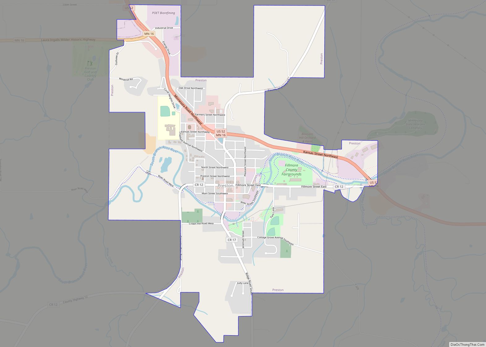
Online Interactive Map
Click on ![]() to view map in "full screen" mode.
to view map in "full screen" mode.
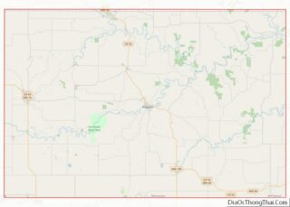
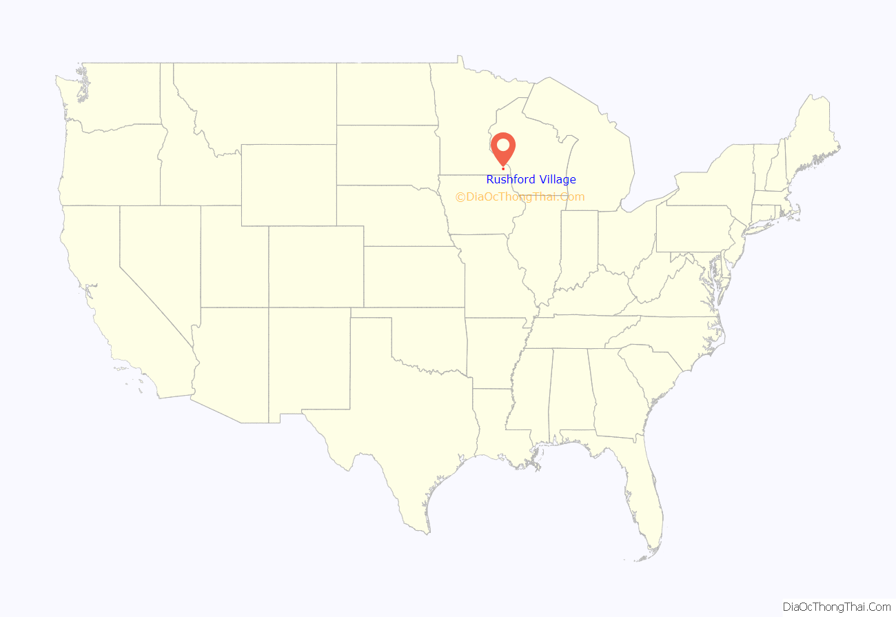
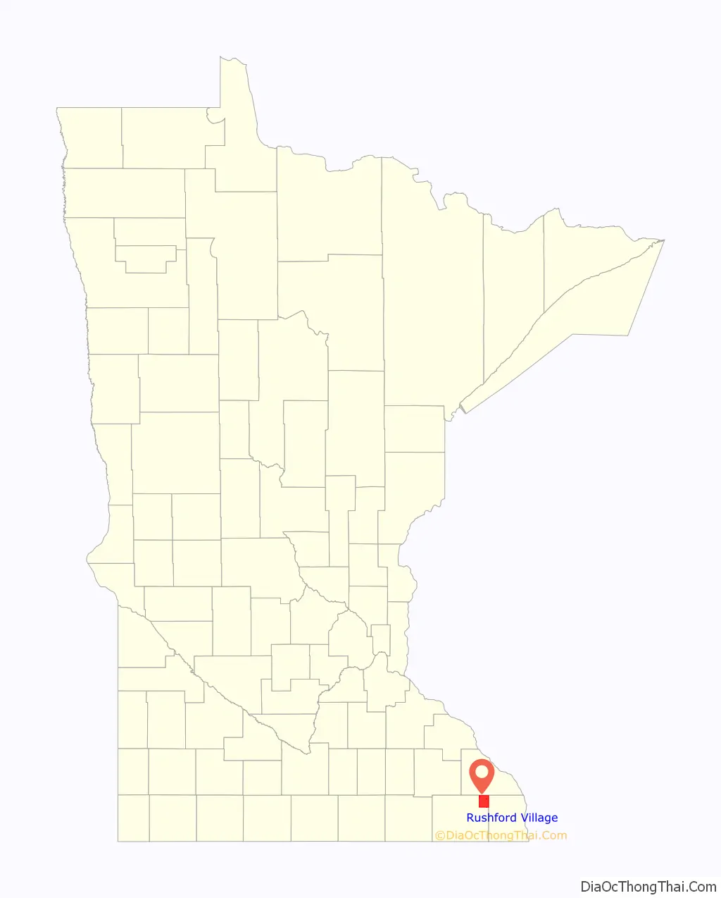
Rushford Village location map. Where is Rushford Village city?
History
Rushford Village was first organized as Rushford Township. As a township, it was organized in 1858, and named after Rush Creek. During this period the City of Rushford incorporated as a city, so it became a separate municipal entity from Rushford Township. On July 18, 1885, Rushford Township incorporated as a village and in 1909 the village of Peterson (completely surrounded by Rushford Village) also incorporated as a village. However, a state law passed in 1973 declared all villages to be cities, so in May 1975 Rushford Village became an incorporated city.
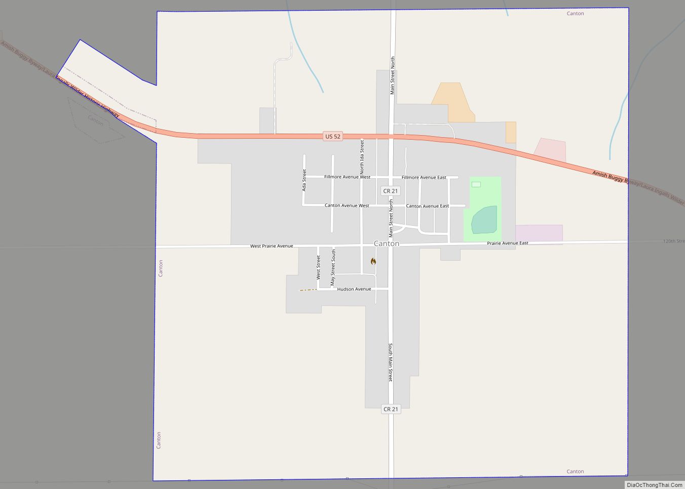
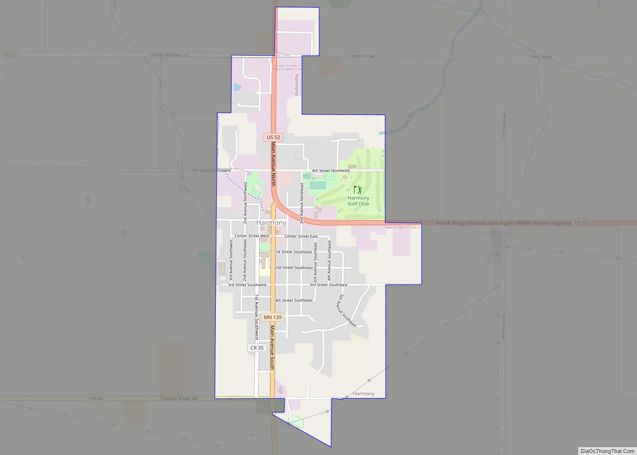
Rushford Village Road Map
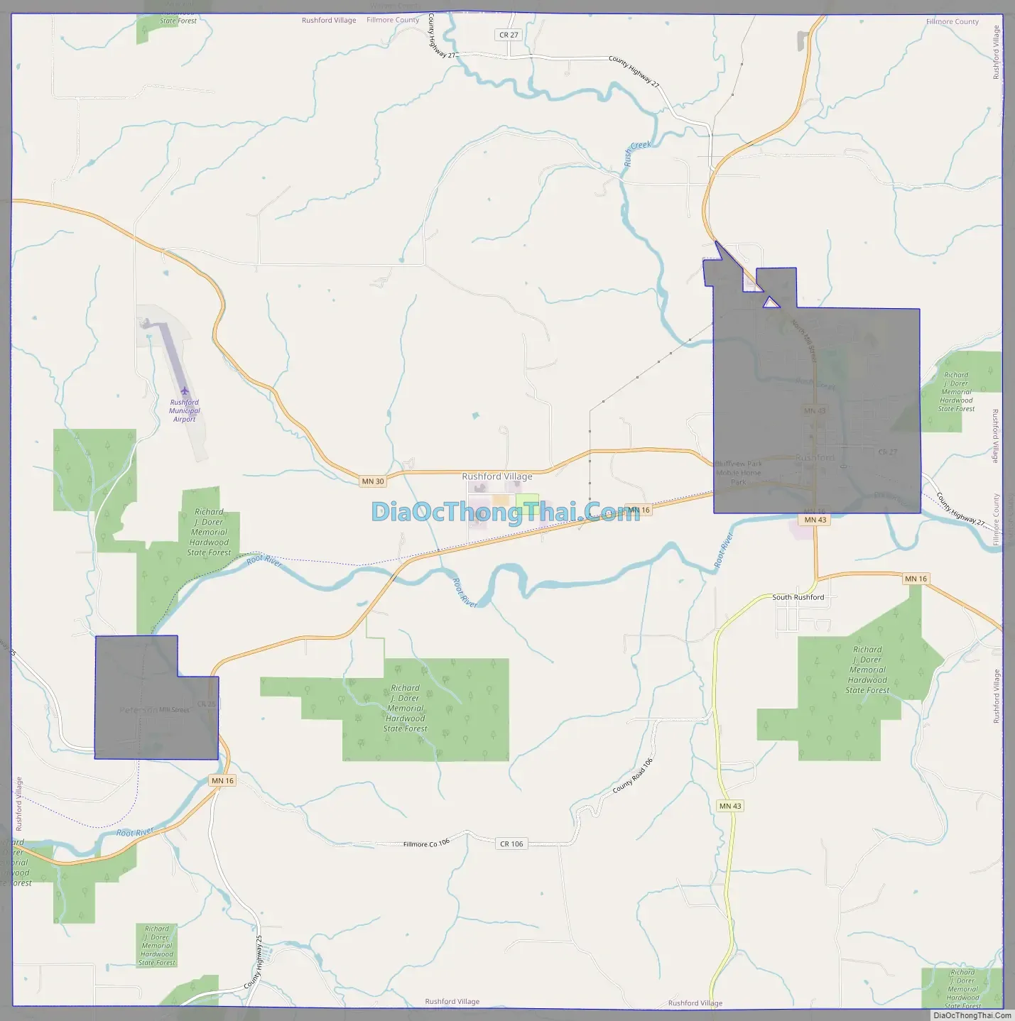
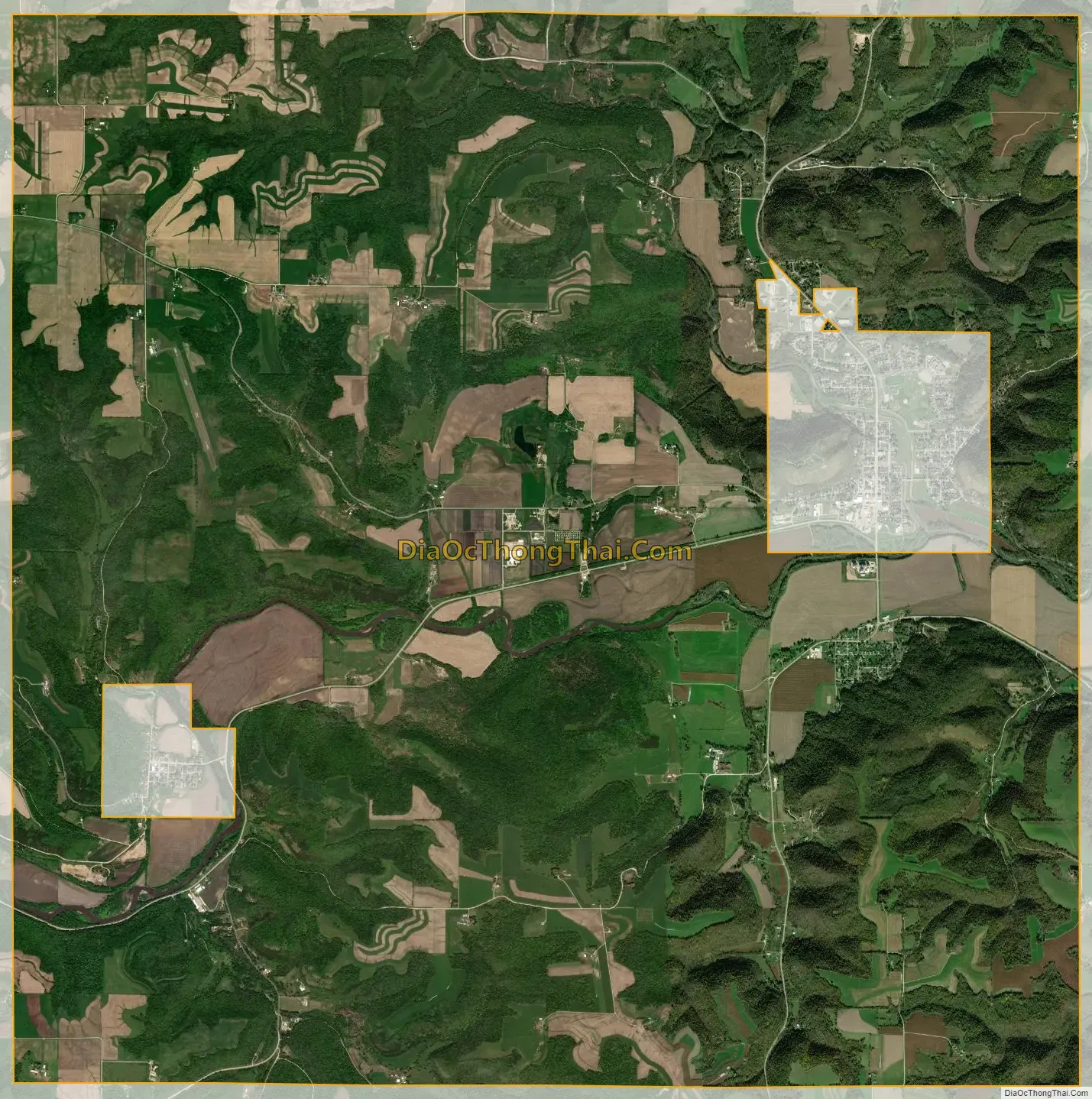
Rushford Village city Satellite Map
Geography
According to the United States Census Bureau, the city has a total area of 33.64 square miles (87.13 km), of which 33.42 square miles (86.56 km) is land and 0.22 square miles (0.57 km) is water.
See also
Map of Minnesota State and its subdivision:- Aitkin
- Anoka
- Becker
- Beltrami
- Benton
- Big Stone
- Blue Earth
- Brown
- Carlton
- Carver
- Cass
- Chippewa
- Chisago
- Clay
- Clearwater
- Cook
- Cottonwood
- Crow Wing
- Dakota
- Dodge
- Douglas
- Faribault
- Fillmore
- Freeborn
- Goodhue
- Grant
- Hennepin
- Houston
- Hubbard
- Isanti
- Itasca
- Jackson
- Kanabec
- Kandiyohi
- Kittson
- Koochiching
- Lac qui Parle
- Lake
- Lake of the Woods
- Lake Superior
- Le Sueur
- Lincoln
- Lyon
- Mahnomen
- Marshall
- Martin
- McLeod
- Meeker
- Mille Lacs
- Morrison
- Mower
- Murray
- Nicollet
- Nobles
- Norman
- Olmsted
- Otter Tail
- Pennington
- Pine
- Pipestone
- Polk
- Pope
- Ramsey
- Red Lake
- Redwood
- Renville
- Rice
- Rock
- Roseau
- Saint Louis
- Scott
- Sherburne
- Sibley
- Stearns
- Steele
- Stevens
- Swift
- Todd
- Traverse
- Wabasha
- Wadena
- Waseca
- Washington
- Watonwan
- Wilkin
- Winona
- Wright
- Yellow Medicine
- Alabama
- Alaska
- Arizona
- Arkansas
- California
- Colorado
- Connecticut
- Delaware
- District of Columbia
- Florida
- Georgia
- Hawaii
- Idaho
- Illinois
- Indiana
- Iowa
- Kansas
- Kentucky
- Louisiana
- Maine
- Maryland
- Massachusetts
- Michigan
- Minnesota
- Mississippi
- Missouri
- Montana
- Nebraska
- Nevada
- New Hampshire
- New Jersey
- New Mexico
- New York
- North Carolina
- North Dakota
- Ohio
- Oklahoma
- Oregon
- Pennsylvania
- Rhode Island
- South Carolina
- South Dakota
- Tennessee
- Texas
- Utah
- Vermont
- Virginia
- Washington
- West Virginia
- Wisconsin
- Wyoming